Elevation of E69, Russenes, Norway
Location: Norway > Finnmark > Porsanger >
Longitude: 25.0615634
Latitude: 70.5086238
Elevation: 5m / 16feet
Barometric Pressure: 101KPa
Elevation Map:
Satellite Map:
Related Photos:
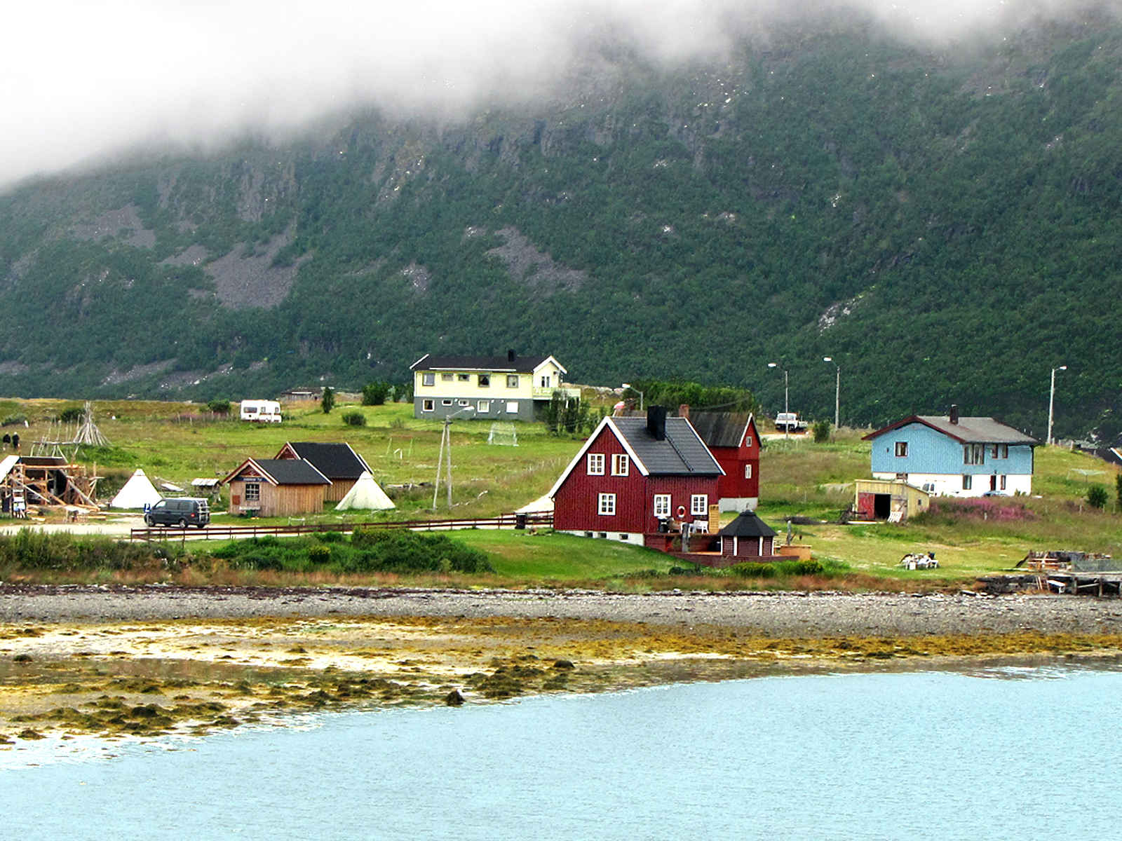
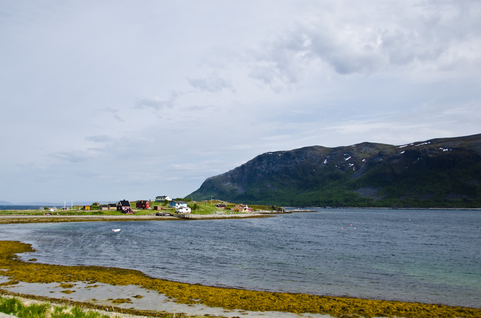
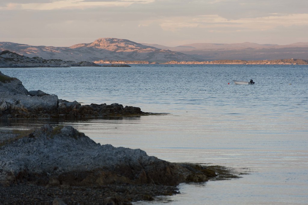
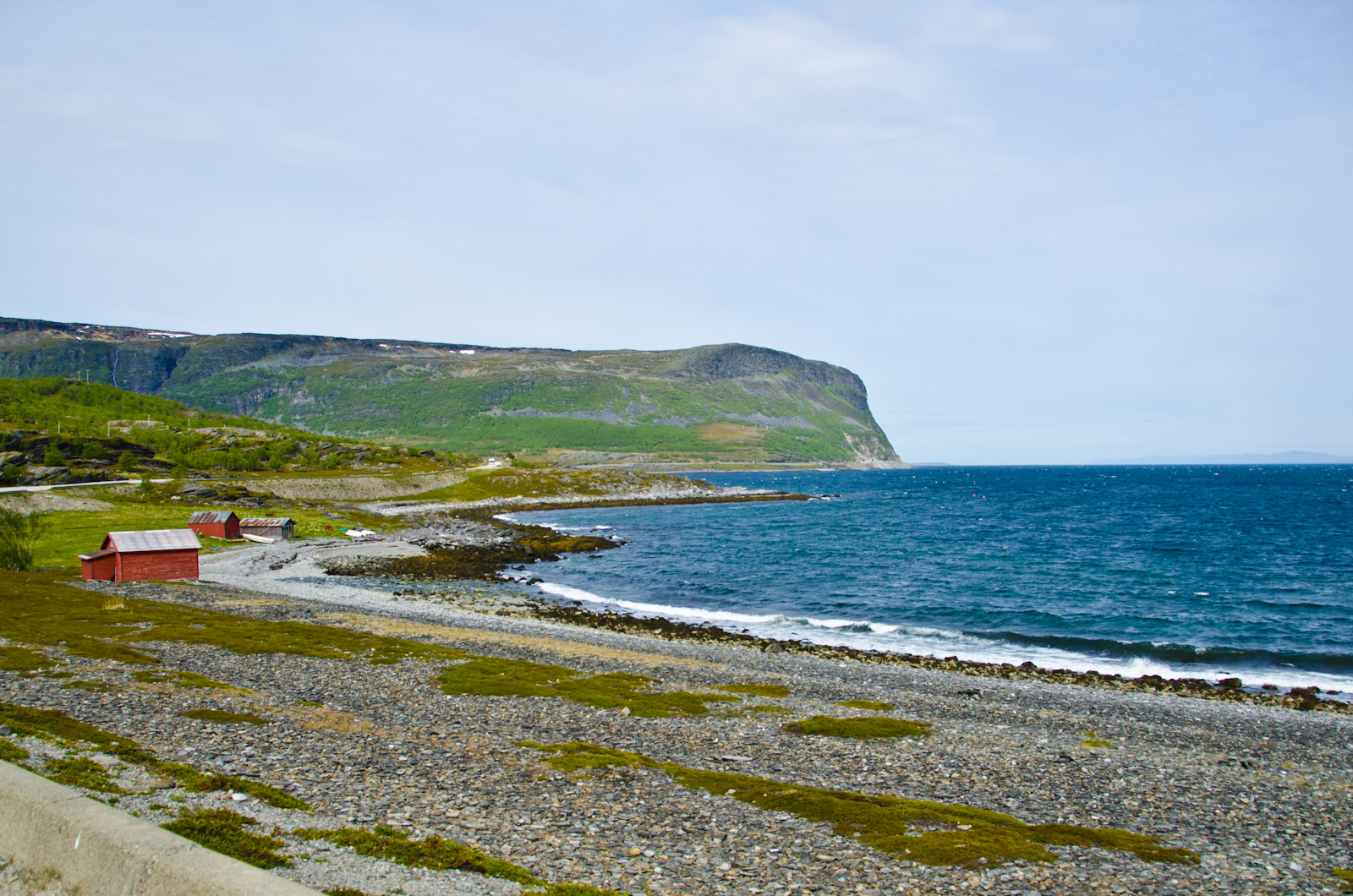
Small Village in Arctic Land

View from the tent in Olderfjord

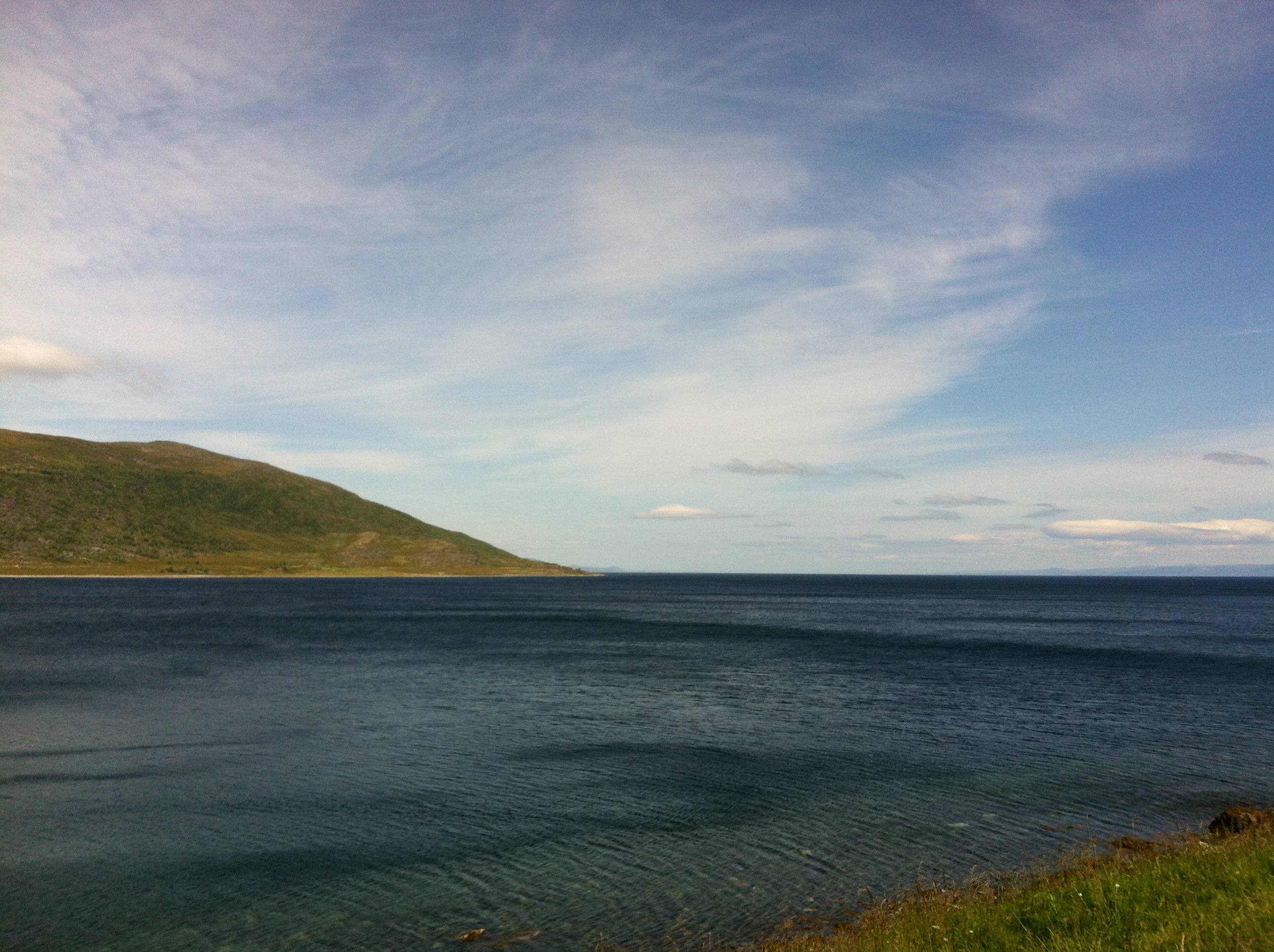
A view of the Porsanger halvøya and Bringnes.

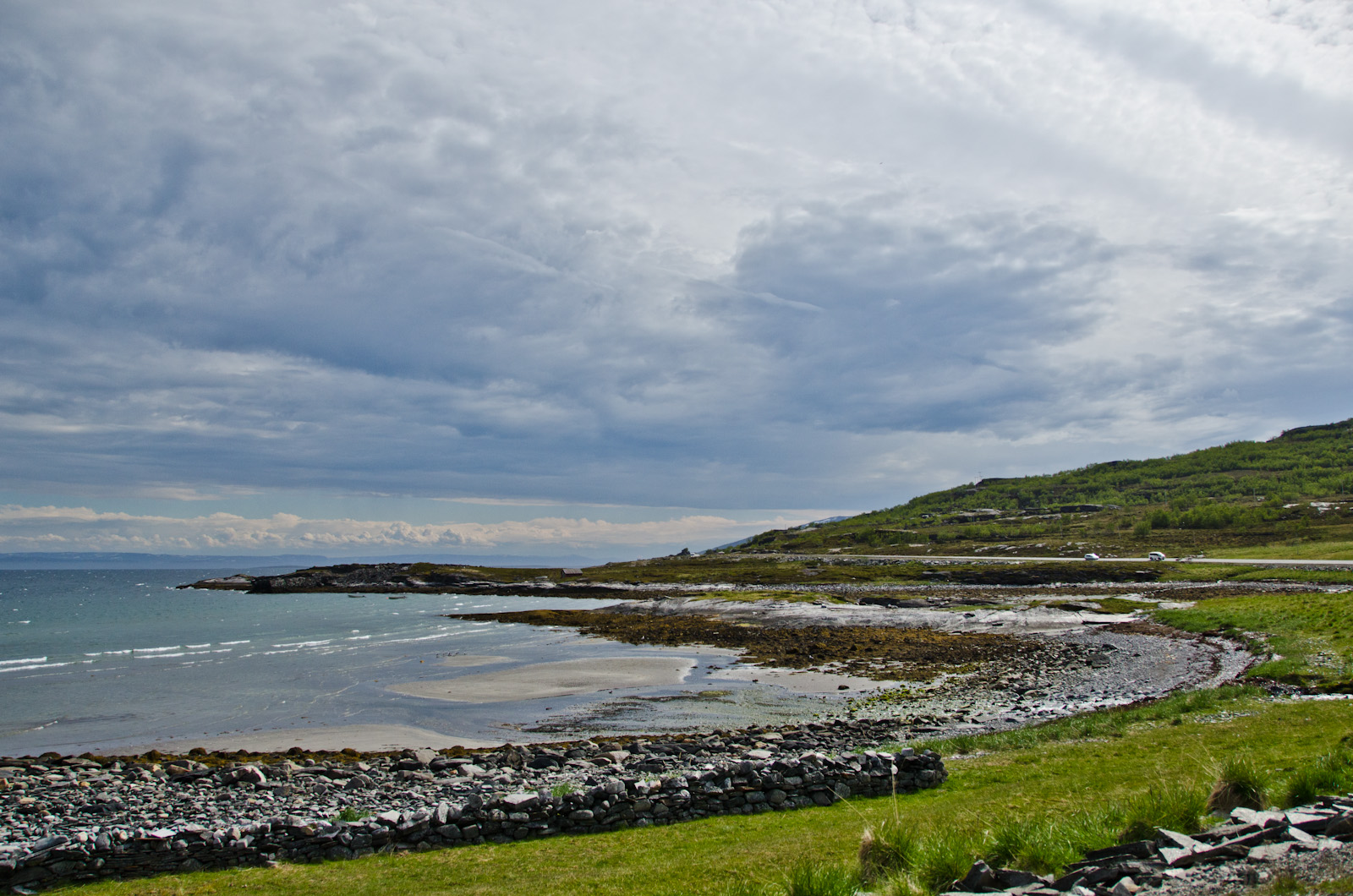
A view of the Porsanger halvøya.
#finnmark

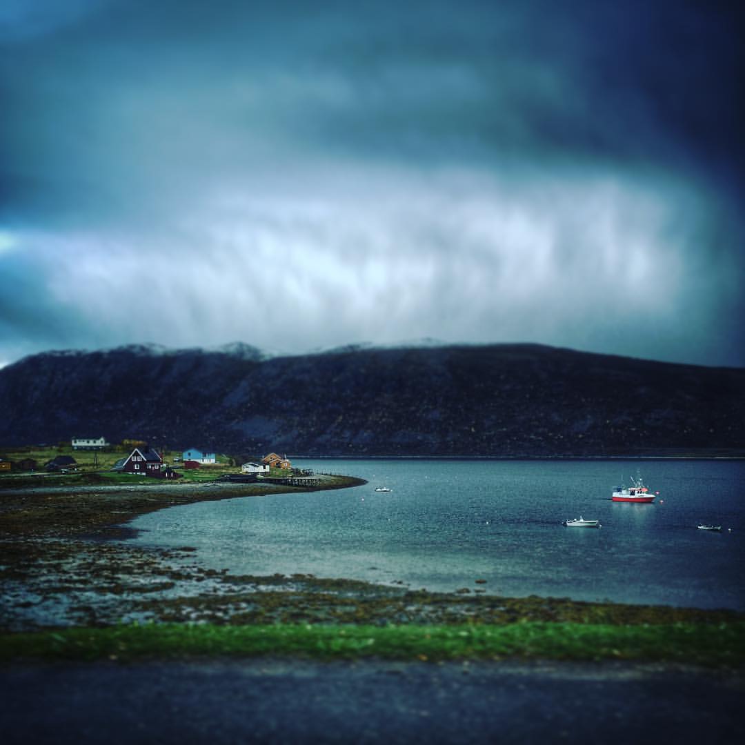
Prestøya, Porsangerfjorden

.
DSC_3965.jpg

Aufnahmen-1379

09.04_Z000130_2013.06.05_11.27.32_B01720_3R
2014_01_Northways-43
Aufnahmen-1379
2015 07 Nordkapp
DSC_3872.jpg
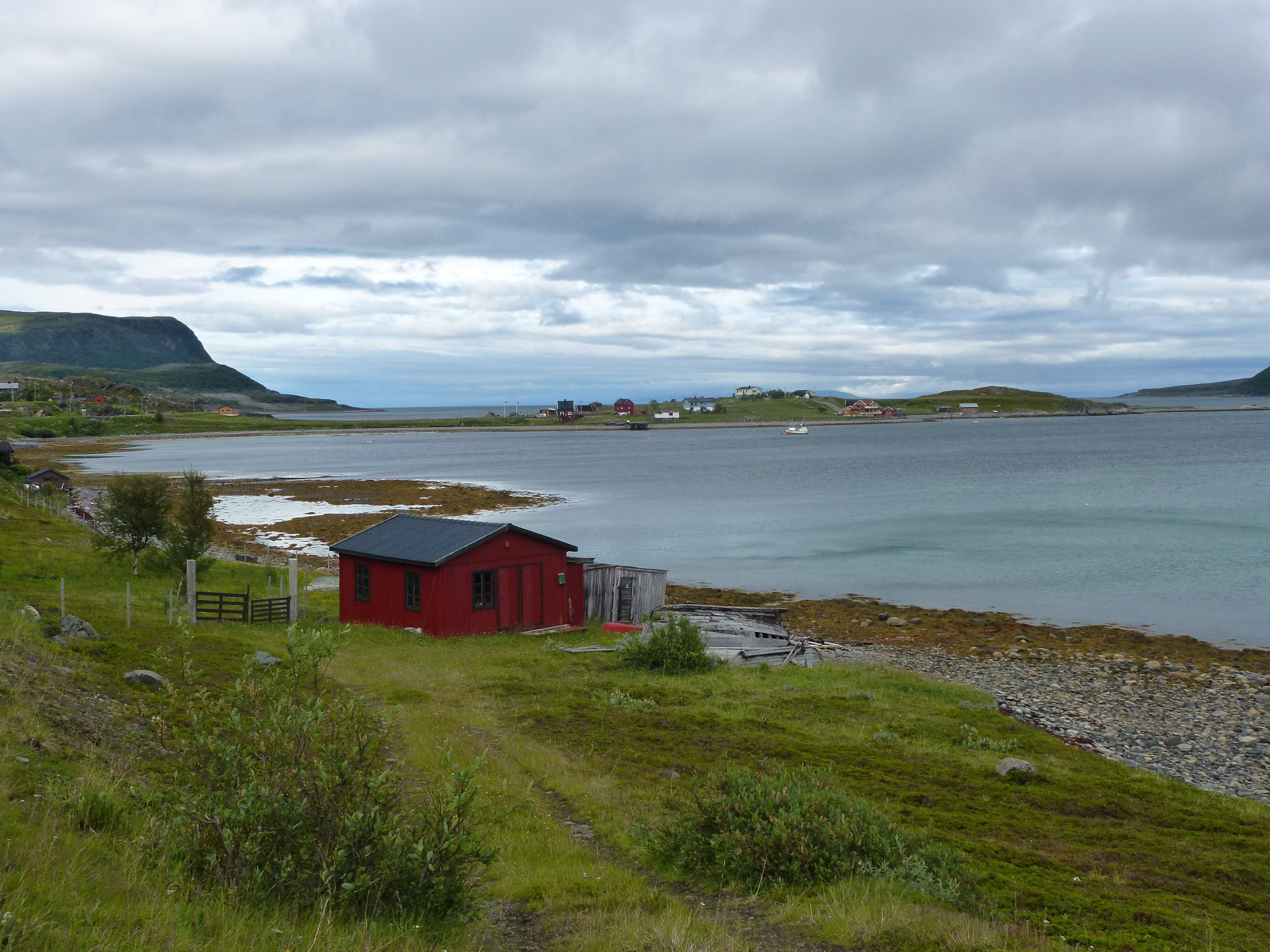
Norway fishing hut
20130811-_DSC1543
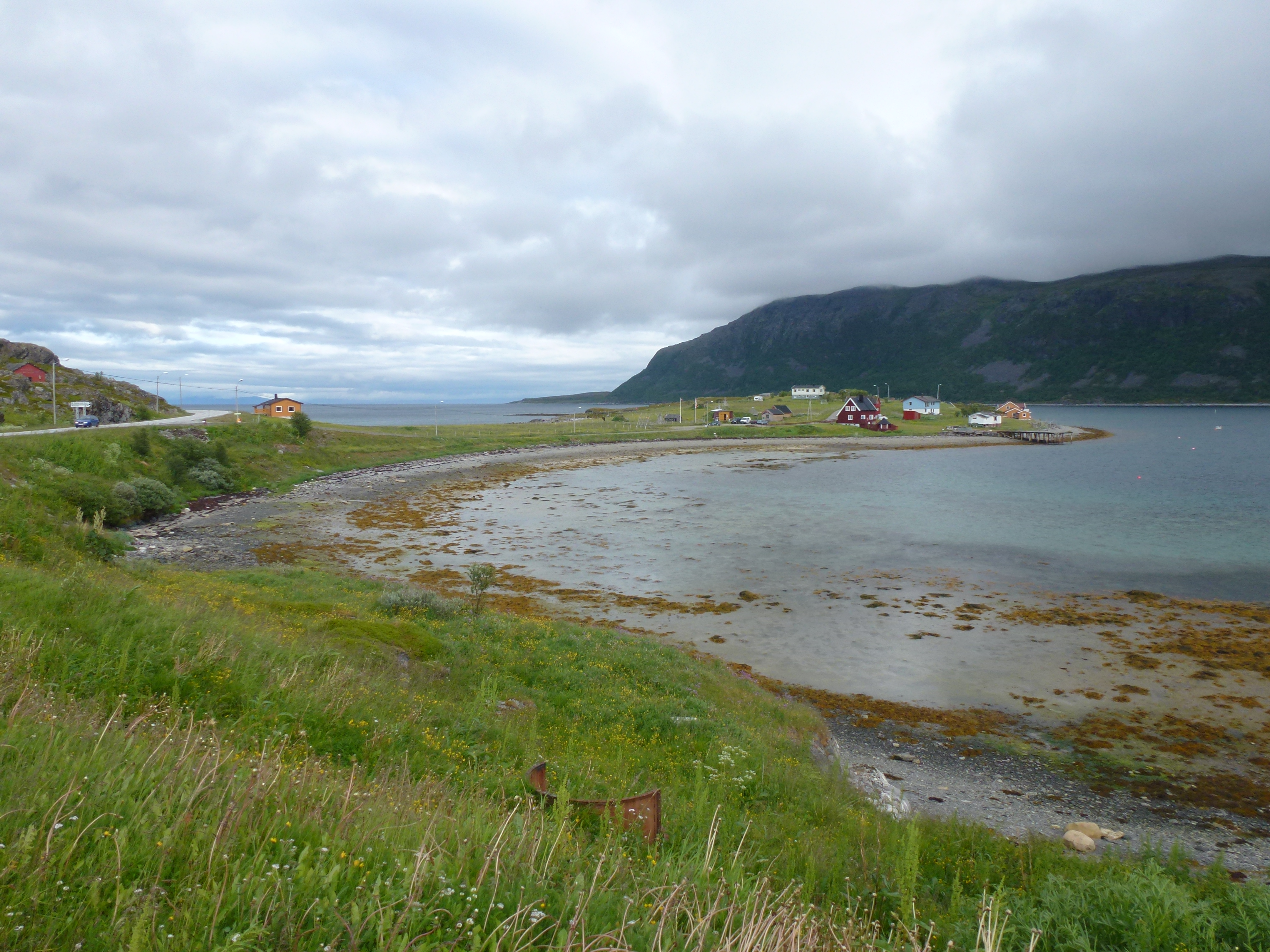
Grassy Norwegian Hamlet
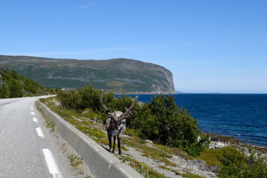
205-On the road to Nordkapp, Norway....

20130811-_DSC1547
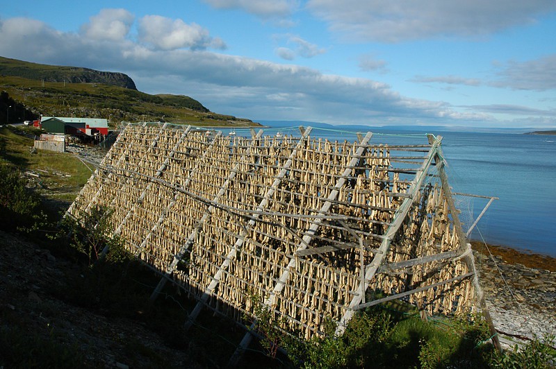
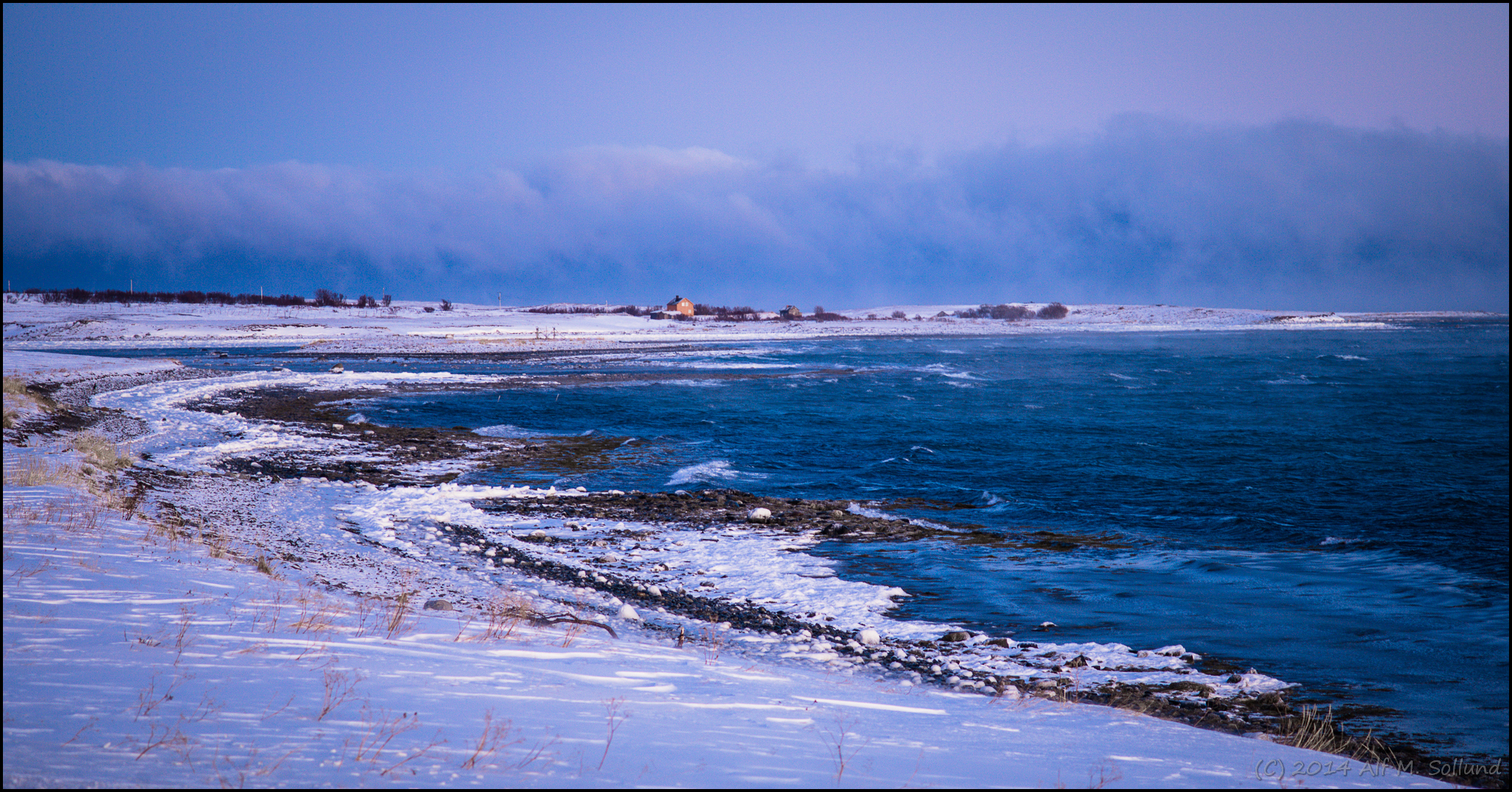
Drying stockfish near Russenes / Trocknen von Stockfisch ...
DSC_3942.jpg
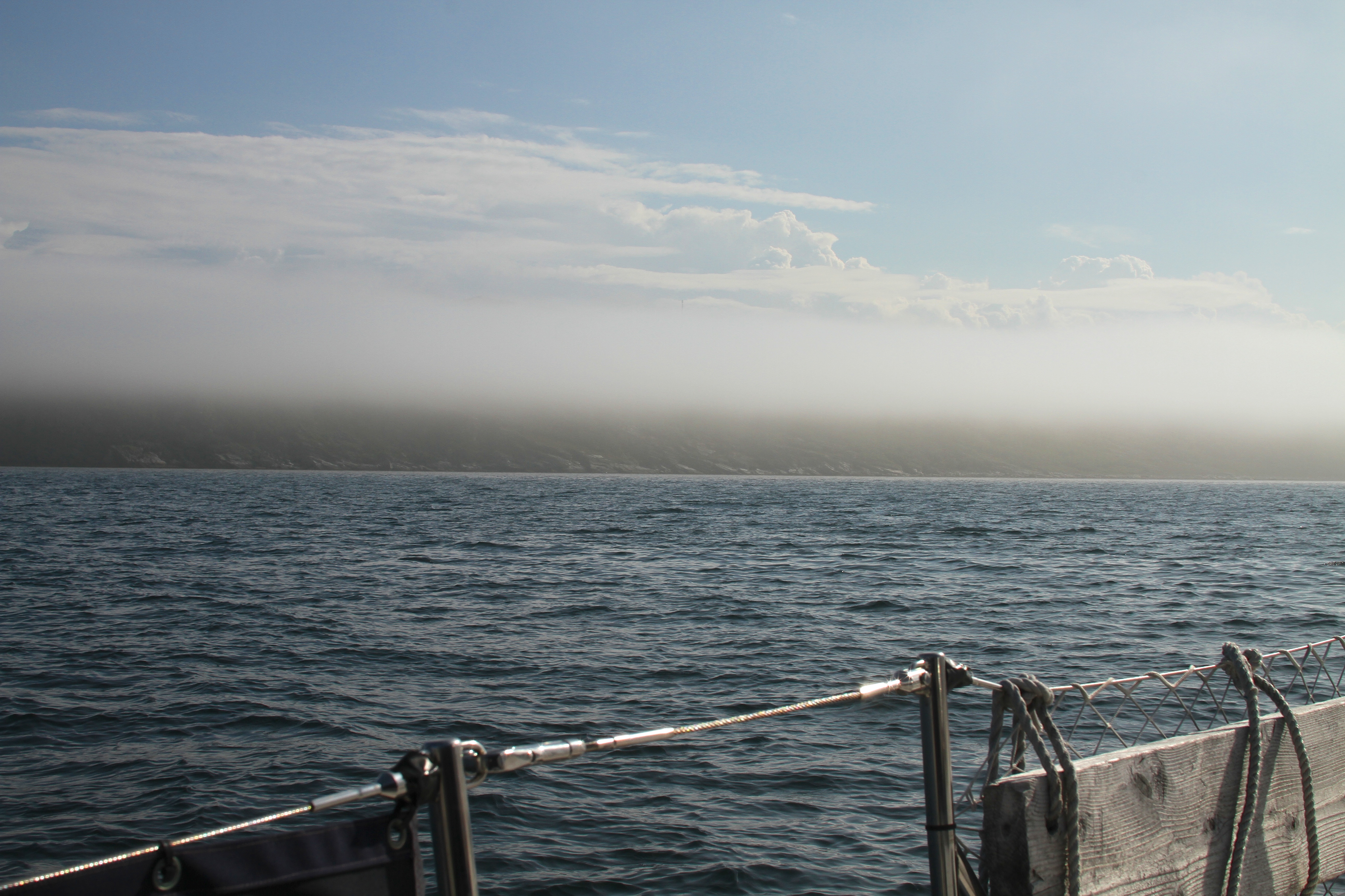
Etter hvert skimter vi land

DSC_3960.jpg
Topographic Map of E69, Russenes, Norway
Find elevation by address:

Places near E69, Russenes, Norway:
Recent Searches:
- Elevation of Corso Fratelli Cairoli, 35, Macerata MC, Italy
- Elevation of Tallevast Rd, Sarasota, FL, USA
- Elevation of 4th St E, Sonoma, CA, USA
- Elevation of Black Hollow Rd, Pennsdale, PA, USA
- Elevation of Oakland Ave, Williamsport, PA, USA
- Elevation of Pedrógão Grande, Portugal
- Elevation of Klee Dr, Martinsburg, WV, USA
- Elevation of Via Roma, Pieranica CR, Italy
- Elevation of Tavkvetili Mountain, Georgia
- Elevation of Hartfords Bluff Cir, Mt Pleasant, SC, USA