Elevation of Dzibanché, Q.R., Mexico
Location: Mexico > Quintana Roo >
Longitude: -88.7608333
Latitude: 18.6419444
Elevation: 82m / 269feet
Barometric Pressure: 0KPa
Related Photos:
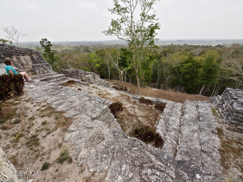
The view from Level C

Costa Maya

_MG_1992.jpg
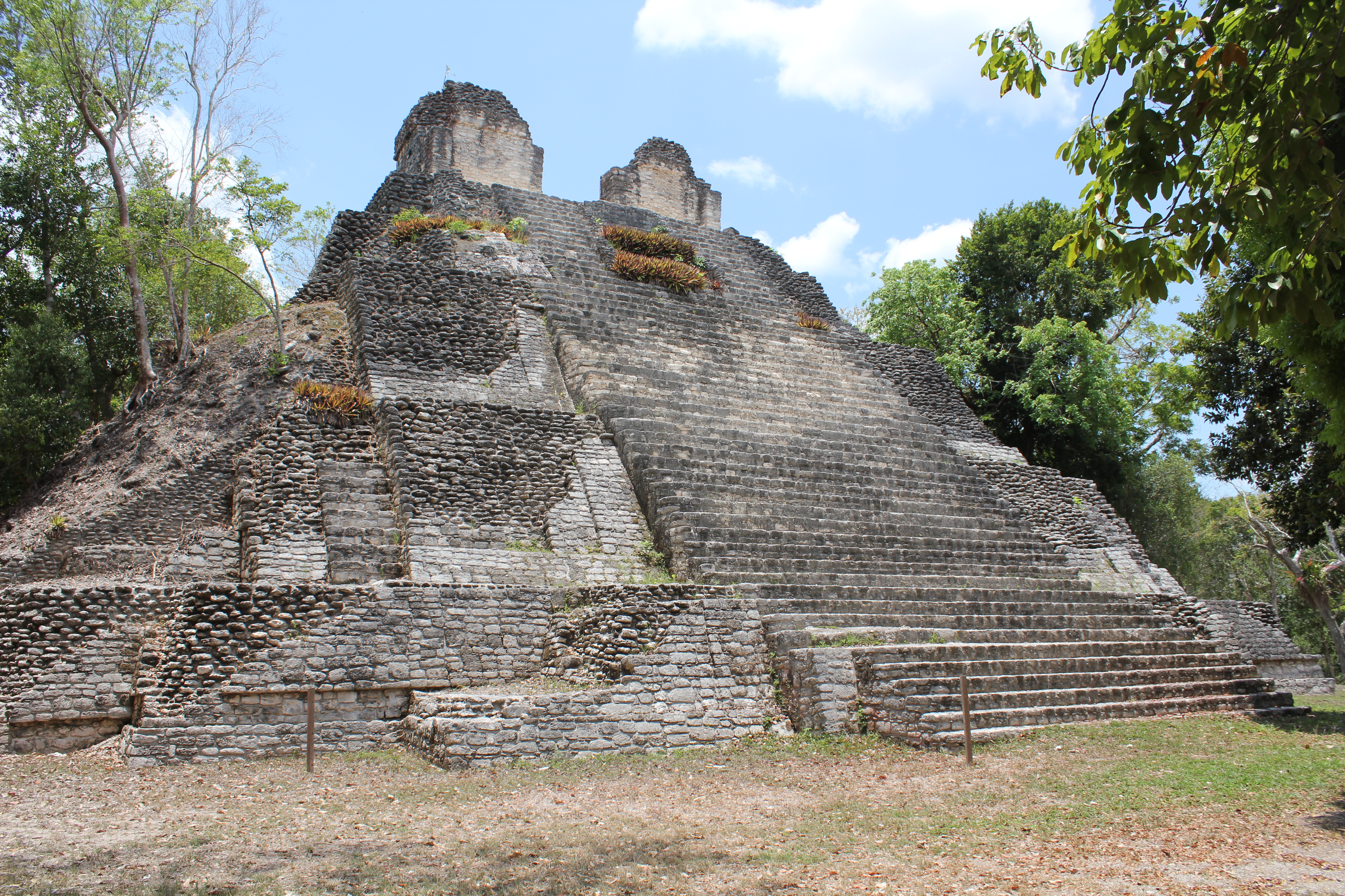
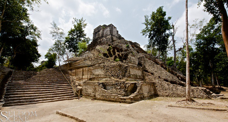
Dzibanche, Building 1, Temple of the Owl
Building 2 and steps
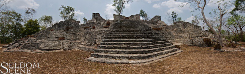
Acropolis, Level B

Costa Maya
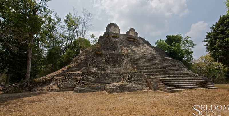
Dzibanché's Building 1
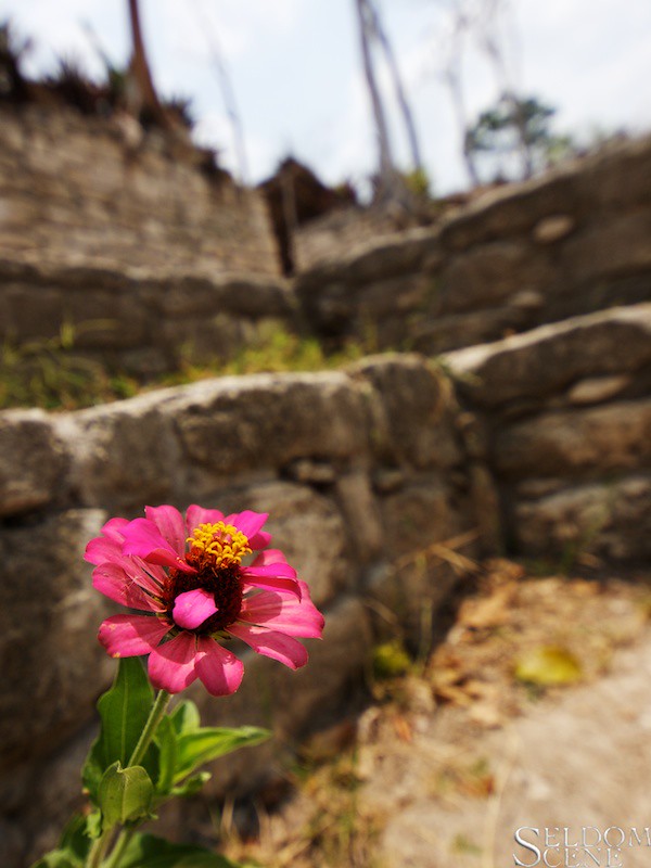
Life among the ruins
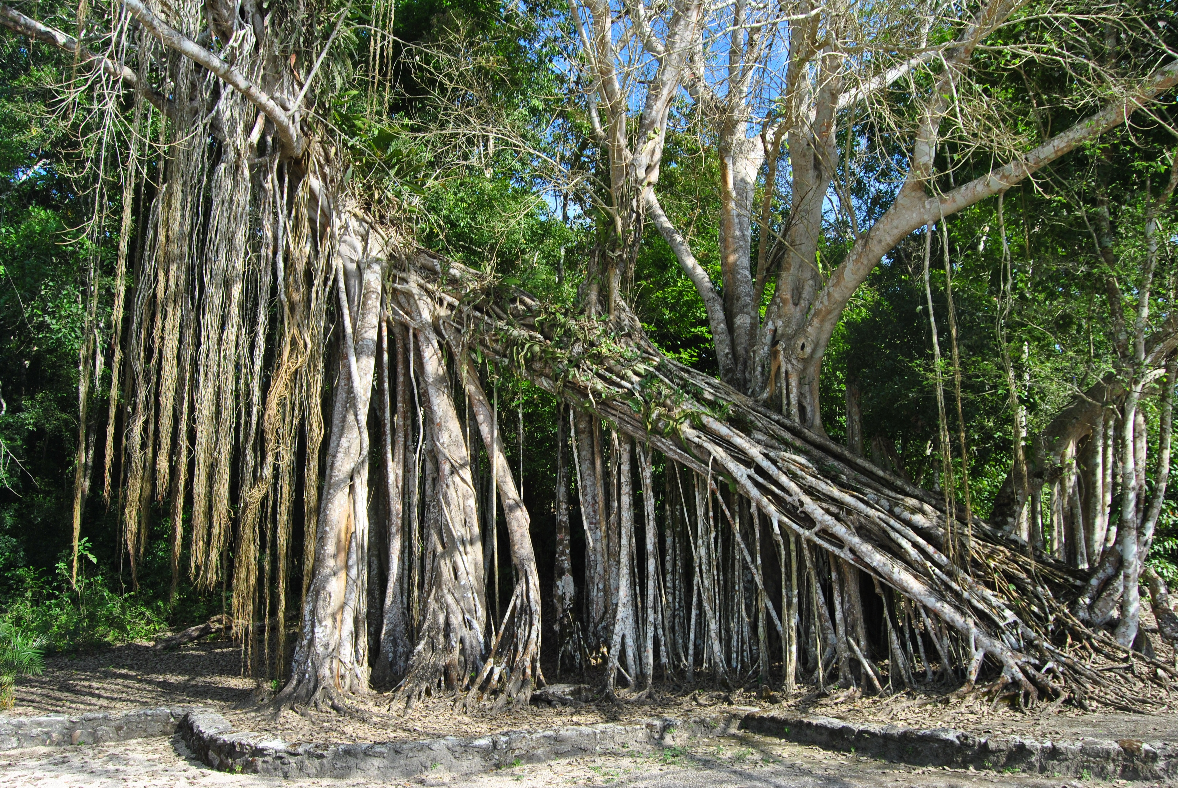
Dzibanche Tree

Dzibanche Tree

Dzibanché Mayan Temple

Costa Maya
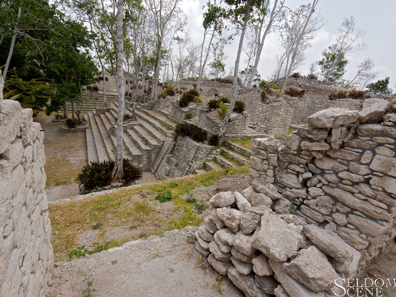
Eastern complex
Topographic Map of Dzibanché, Q.R., Mexico
Find elevation by address:

Places in Dzibanché, Q.R., Mexico:
Places near Dzibanché, Q.R., Mexico:
Quintana Roo Francisco Villa-Graciano Sánchez 46, Dzibanché, Q.R., Mexico
Villahermosa - Chetumal, Ucum, Q.R., Mexico
Chetumal - Villahermosa, Quintana Roo, Mexico
Kohunlich
Altos De Sevilla
Quintana Roo Francisco Villa-Graciano Sánchez, Bacalar, Q.R., Mexico
Bacalar Municipality
Quintana Roo Francisco Villa-Graciano Sánchez, Quintana Roo, Mexico
Yucatan Peninsula
Calakmul
Recent Searches:
- Elevation map of Greenland, Greenland
- Elevation of Sullivan Hill, New York, New York, 10002, USA
- Elevation of Morehead Road, Withrow Downs, Charlotte, Mecklenburg County, North Carolina, 28262, USA
- Elevation of 2800, Morehead Road, Withrow Downs, Charlotte, Mecklenburg County, North Carolina, 28262, USA
- Elevation of Yangbi Yi Autonomous County, Yunnan, China
- Elevation of Pingpo, Yangbi Yi Autonomous County, Yunnan, China
- Elevation of Mount Malong, Pingpo, Yangbi Yi Autonomous County, Yunnan, China
- Elevation map of Yongping County, Yunnan, China
- Elevation of North 8th Street, Palatka, Putnam County, Florida, 32177, USA
- Elevation of 107, Big Apple Road, East Palatka, Putnam County, Florida, 32131, USA
- Elevation of Jiezi, Chongzhou City, Sichuan, China
- Elevation of Chongzhou City, Sichuan, China
- Elevation of Huaiyuan, Chongzhou City, Sichuan, China
- Elevation of Qingxia, Chengdu, Sichuan, China
- Elevation of Corso Fratelli Cairoli, 35, Macerata MC, Italy
- Elevation of Tallevast Rd, Sarasota, FL, USA
- Elevation of 4th St E, Sonoma, CA, USA
- Elevation of Black Hollow Rd, Pennsdale, PA, USA
- Elevation of Oakland Ave, Williamsport, PA, USA
- Elevation of Pedrógão Grande, Portugal