Elevation of Dyniska 50, 22- Dyniska, Poland
Location: Poland > Lublin Voivodeship > Tomaszów Lubelski County > Dyniska >
Longitude: 23.7086389
Latitude: 50.4178939
Elevation: 217m / 712feet
Barometric Pressure: 99KPa
Elevation Map:
Satellite Map:
Related Photos:
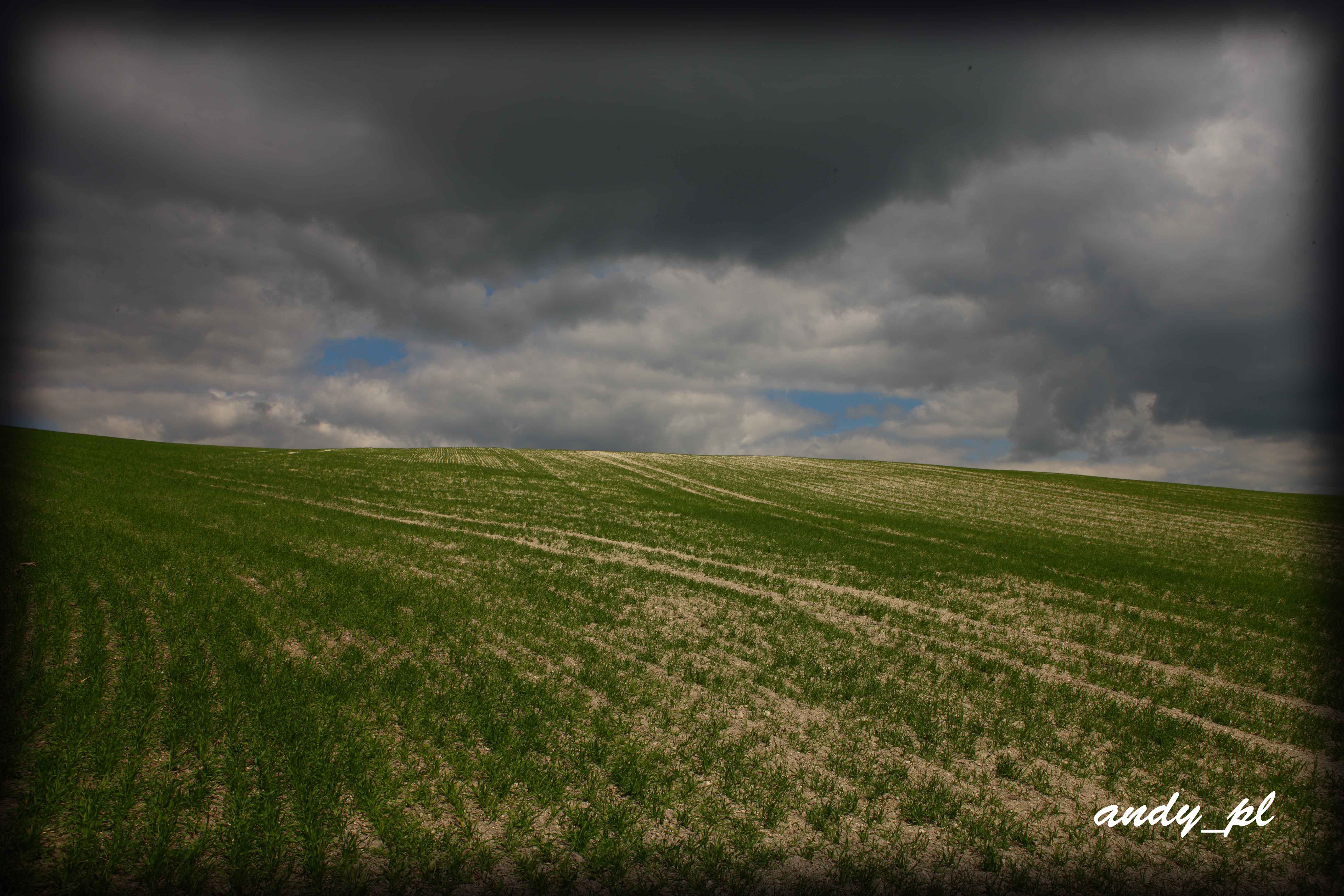
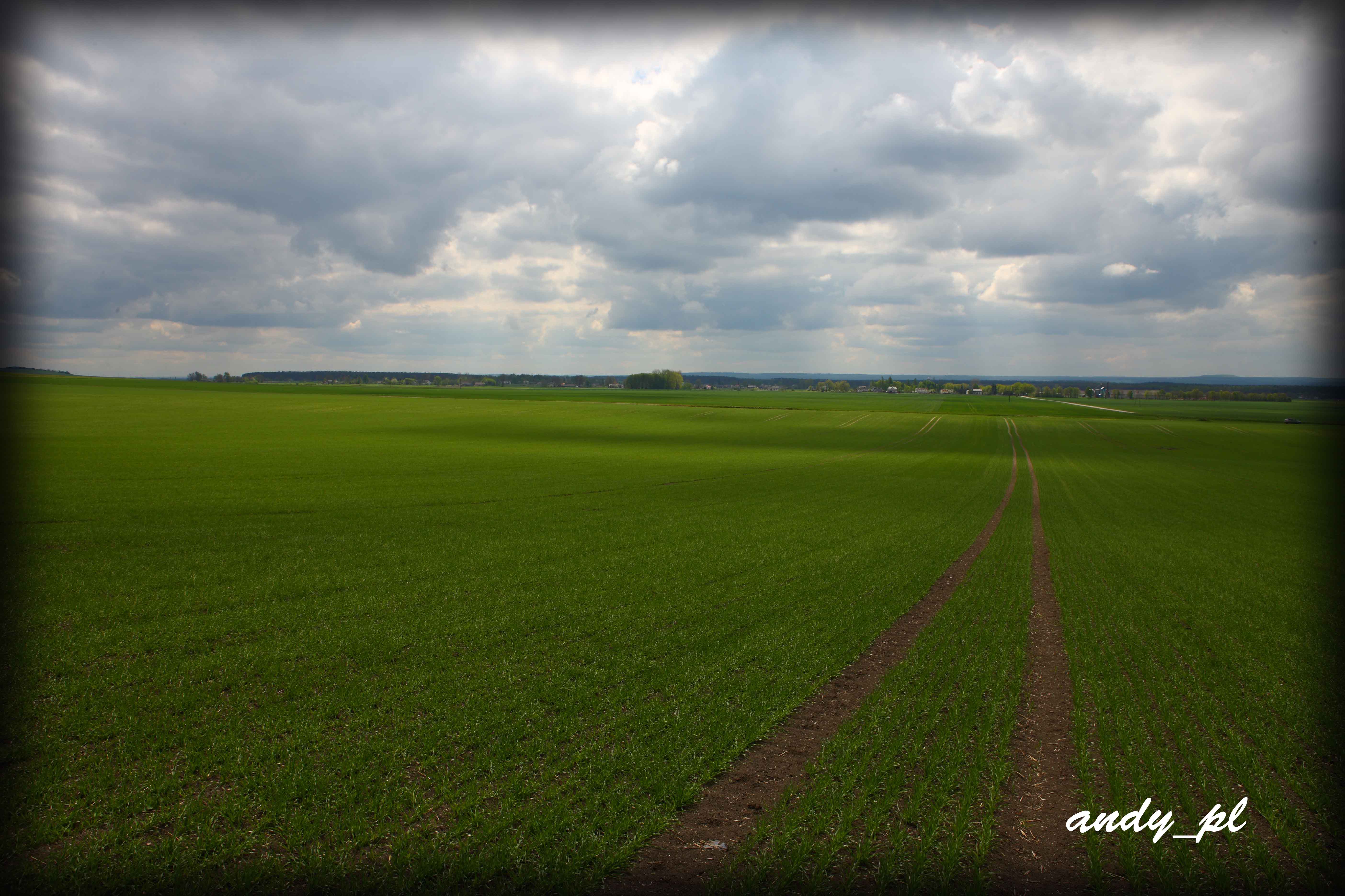
The Southern Roztocze, Poland
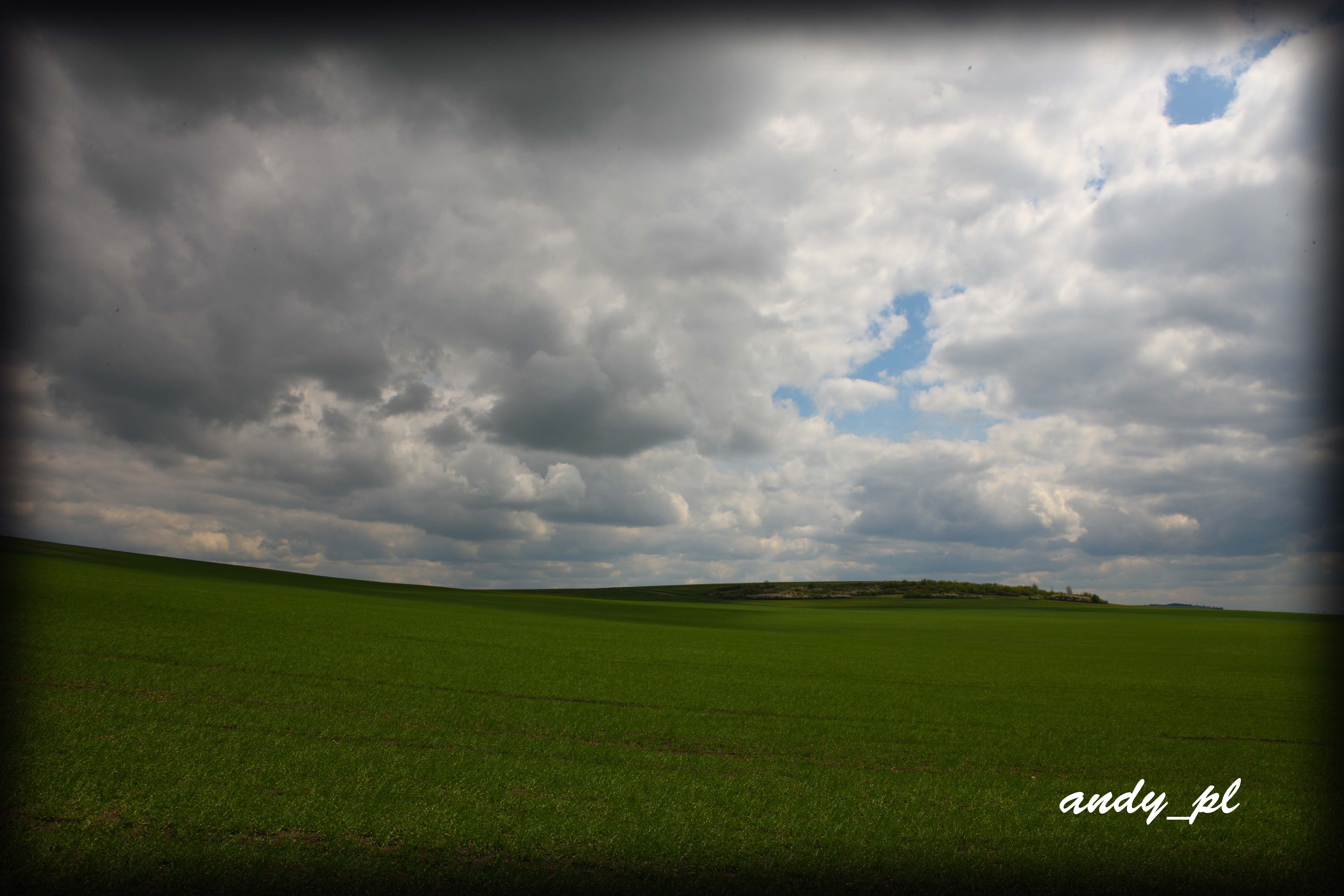
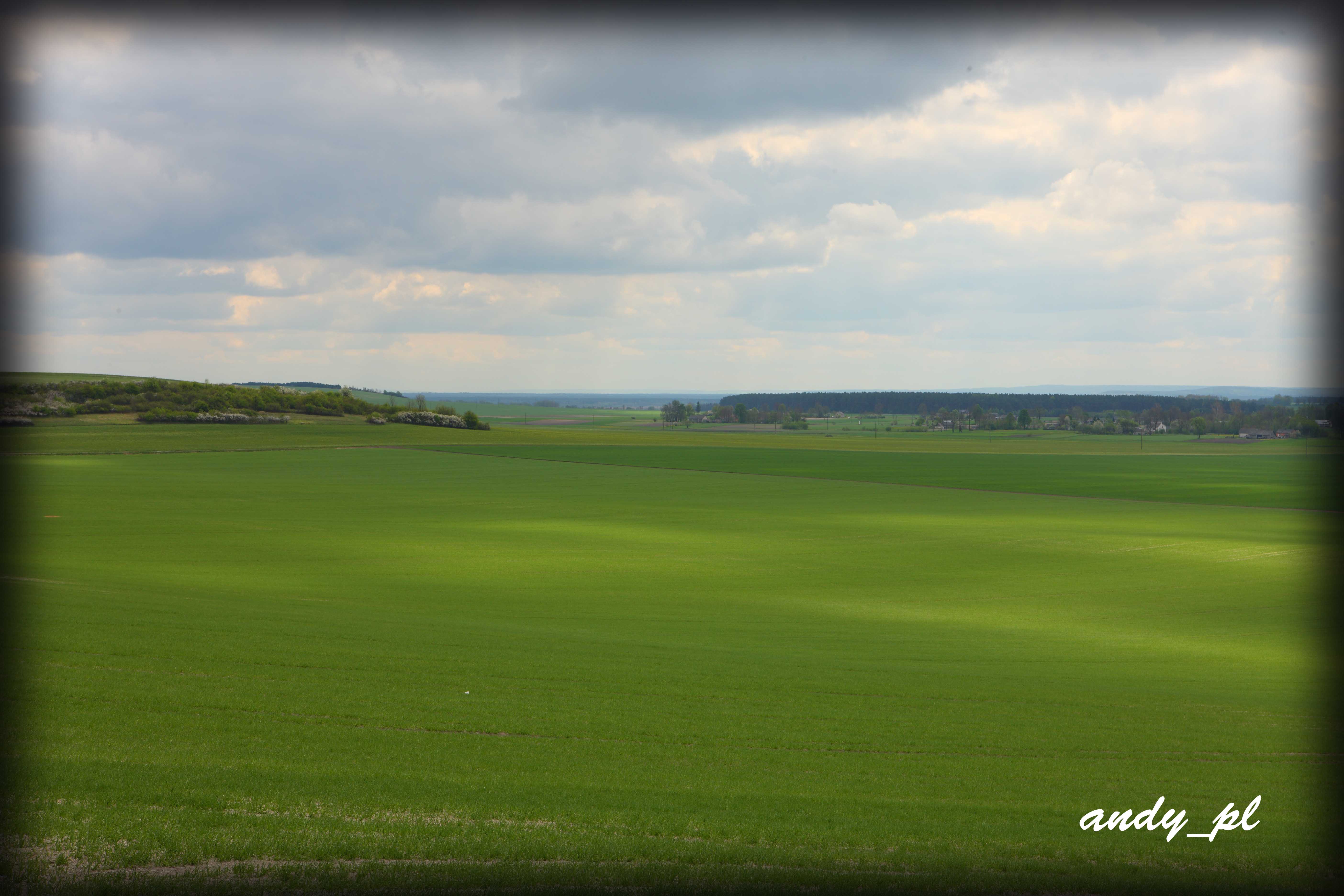
The Southern Roztocze, Poland
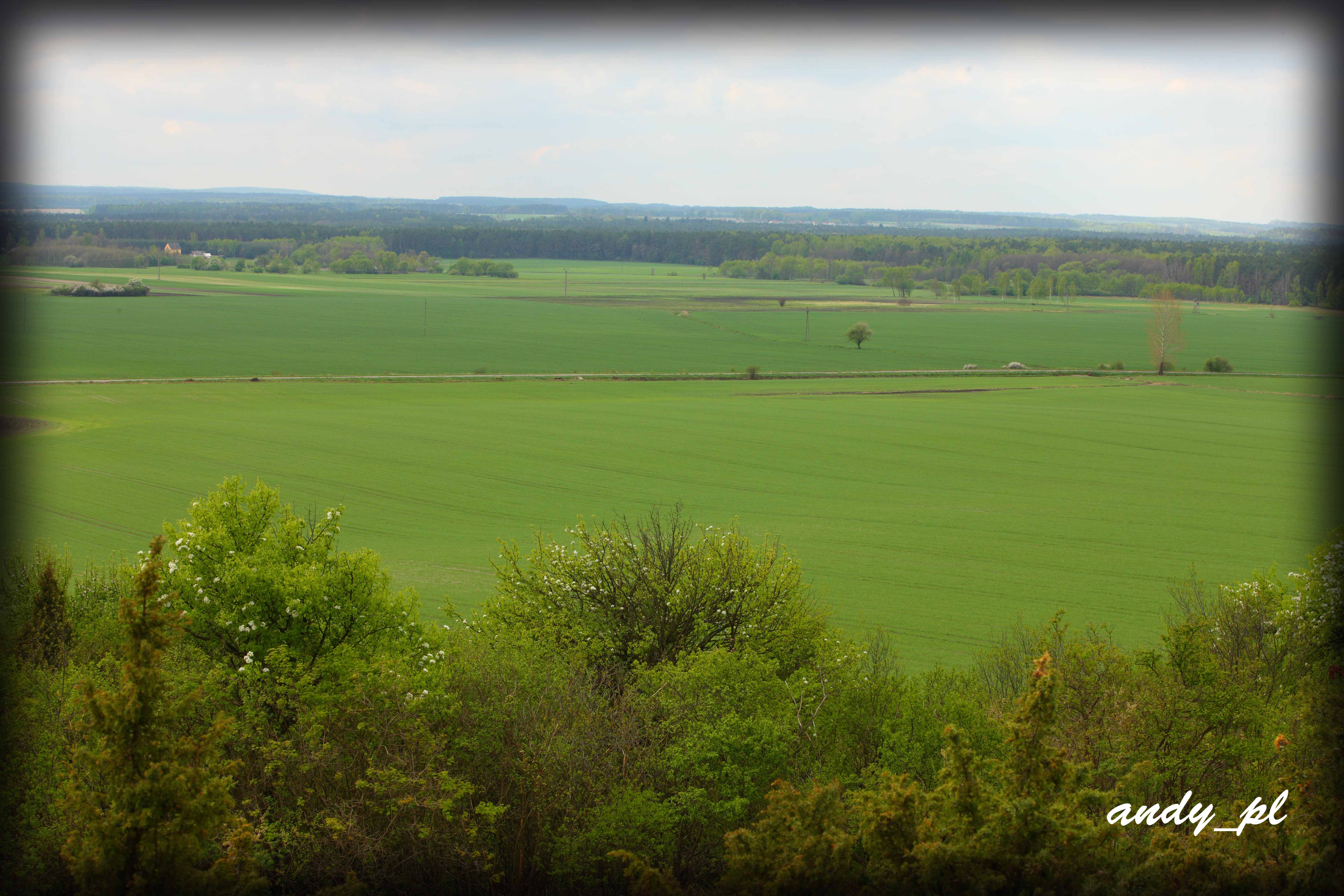
The Southern Roztocze, Poland
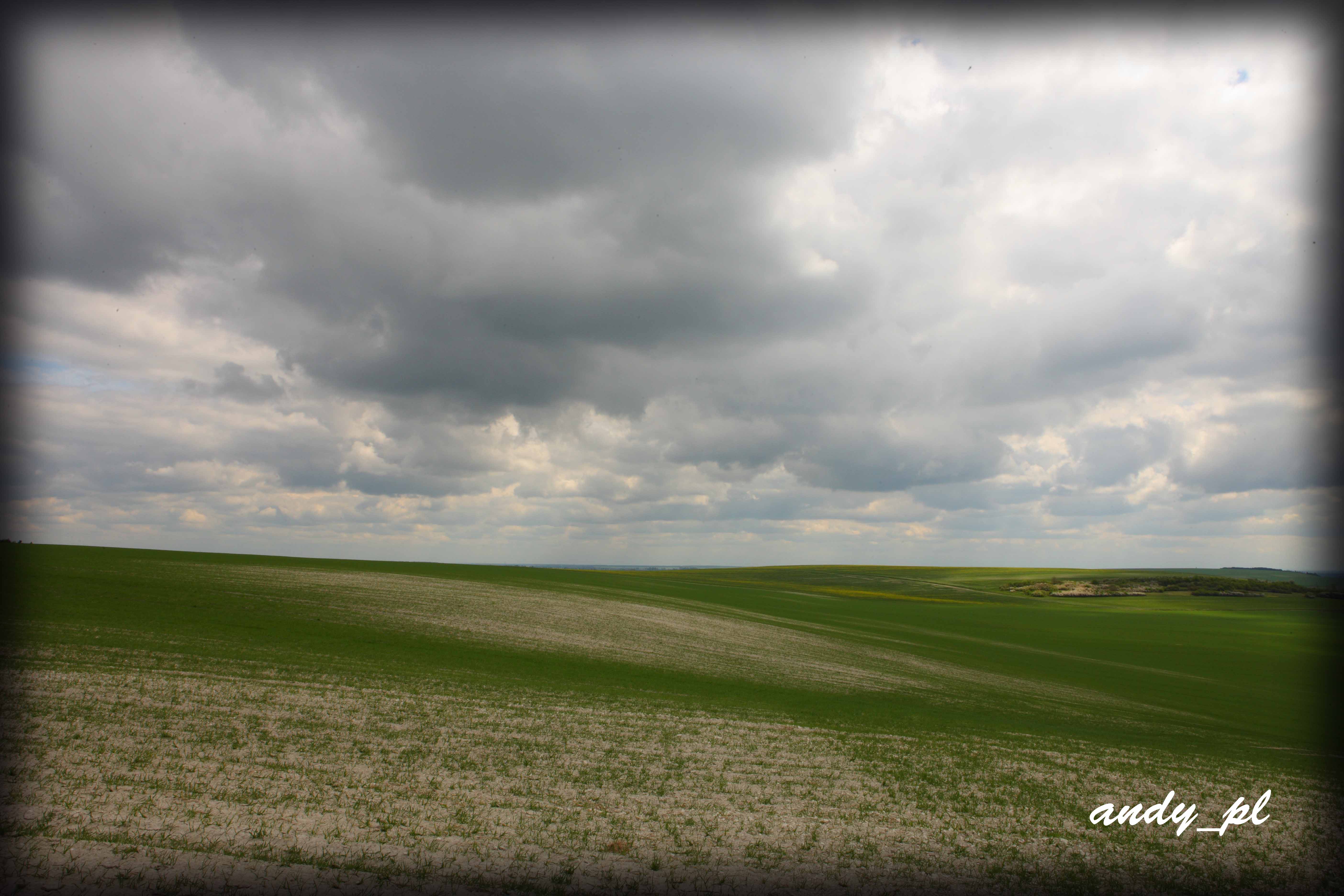
The Southern Roztocze, Poland
The Southern Roztocze, Poland
The Southern Roztocze, Poland

Stefan O Victor fröberg
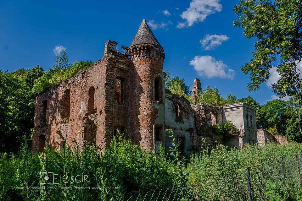
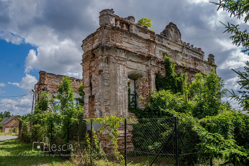
Szczeptycki Palace
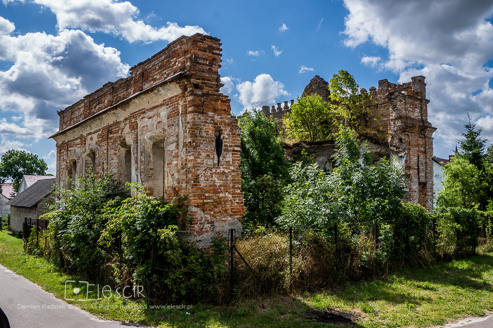
Synagogue (Old Castle)
Synagogue (Old Castle)

George p

Karin Spinetti
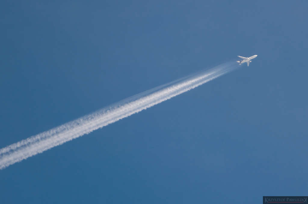
Fly me home | UPS Cargo Airliner
Topographic Map of Dyniska 50, 22- Dyniska, Poland
Find elevation by address:

Places near Dyniska 50, 22- Dyniska, Poland:
Dyniska
2b
Nowy Machnów
Tomaszów Lubelski County
Zhovkivs'kyi District
Yavorivs'kyi District
Yavoriv
Nienowice 206
Nienowice
Biłgoraj County
Bilgoraj
Sambir
Jarosław County
Przemyśl
Krościenko
Recent Searches:
- Elevation of Corso Fratelli Cairoli, 35, Macerata MC, Italy
- Elevation of Tallevast Rd, Sarasota, FL, USA
- Elevation of 4th St E, Sonoma, CA, USA
- Elevation of Black Hollow Rd, Pennsdale, PA, USA
- Elevation of Oakland Ave, Williamsport, PA, USA
- Elevation of Pedrógão Grande, Portugal
- Elevation of Klee Dr, Martinsburg, WV, USA
- Elevation of Via Roma, Pieranica CR, Italy
- Elevation of Tavkvetili Mountain, Georgia
- Elevation of Hartfords Bluff Cir, Mt Pleasant, SC, USA