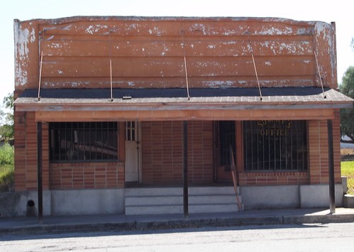
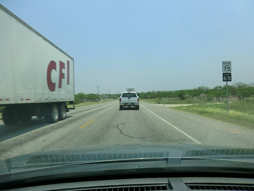
Elevation map of Duval County, TX, USA
Location: United States > Texas >
Longitude: -98.572101
Latitude: 27.7525271
Elevation: 203m / 666feet
Barometric Pressure: 99KPa
Related Photos:
Topographic Map of Duval County, TX, USA
Find elevation by address:

Places in Duval County, TX, USA:
Places near Duval County, TX, USA:
Freer
Seven Sisters
Realitos
Bruni
37 TX-16, Hebbronville, TX, USA
Webb County
Hebbronville
Po Box, Mirando City, TX, USA
Mirando City
Ranchitos Las Lomas
Los Mesquites
Ranch Road
Rancho Pila Rd, Laredo, TX, USA
Jim Hogg County
France Ct, Laredo, TX, USA
Escobas
Encinal
I-35 Frontage Rd, Laredo, TX, USA
TX-, Laredo, TX, USA
Botines
Recent Searches:
- Elevation of Corso Fratelli Cairoli, 35, Macerata MC, Italy
- Elevation of Tallevast Rd, Sarasota, FL, USA
- Elevation of 4th St E, Sonoma, CA, USA
- Elevation of Black Hollow Rd, Pennsdale, PA, USA
- Elevation of Oakland Ave, Williamsport, PA, USA
- Elevation of Pedrógão Grande, Portugal
- Elevation of Klee Dr, Martinsburg, WV, USA
- Elevation of Via Roma, Pieranica CR, Italy
- Elevation of Tavkvetili Mountain, Georgia
- Elevation of Hartfords Bluff Cir, Mt Pleasant, SC, USA


