Elevation of Dutton/Dunwich, ON N0L, Canada
Location: Canada > Ontario > Elgin County >
Longitude: -81.471838
Latitude: 42.6630094
Elevation: 228m / 748feet
Barometric Pressure: 99KPa
Elevation Map:
Satellite Map:
Related Photos:
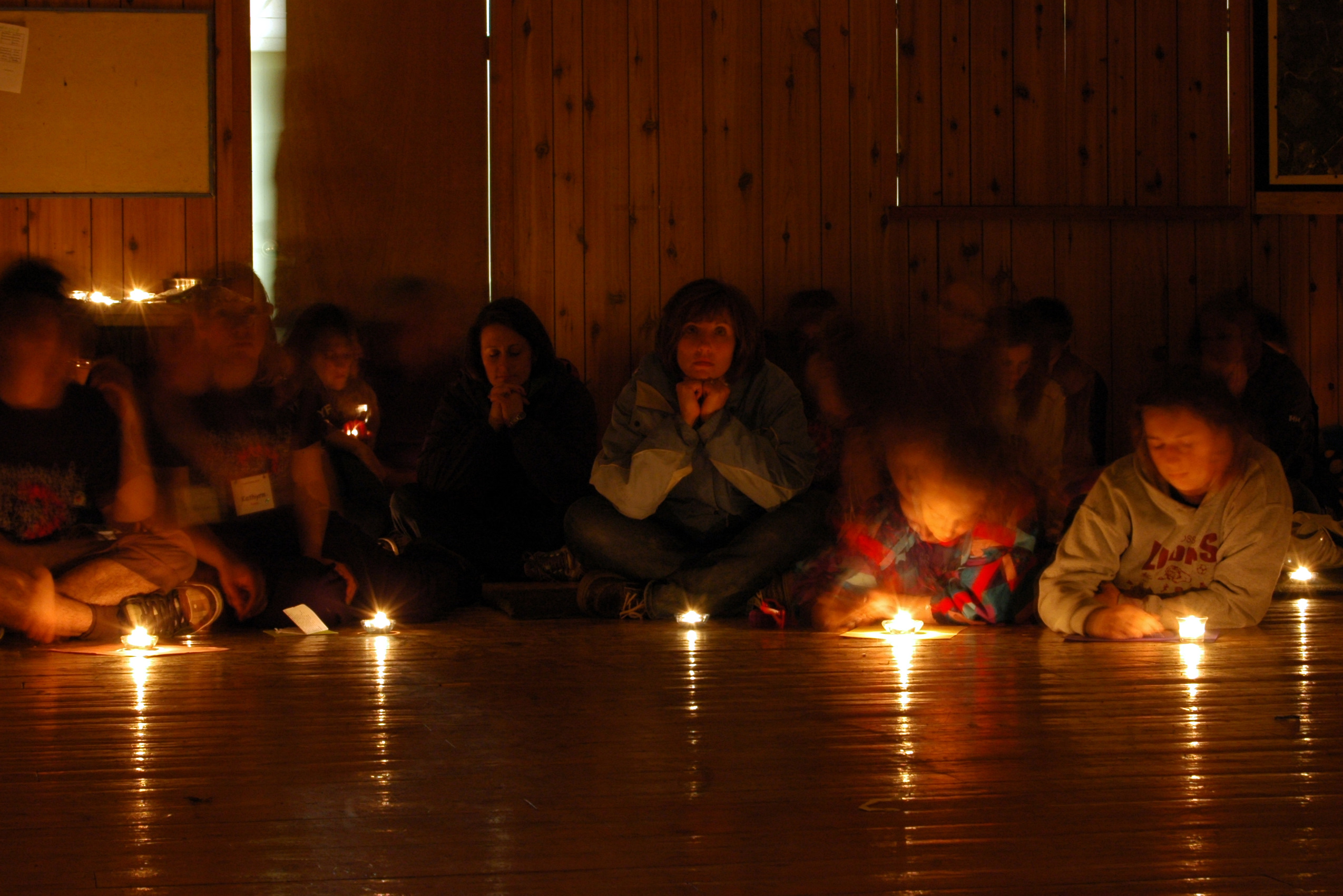
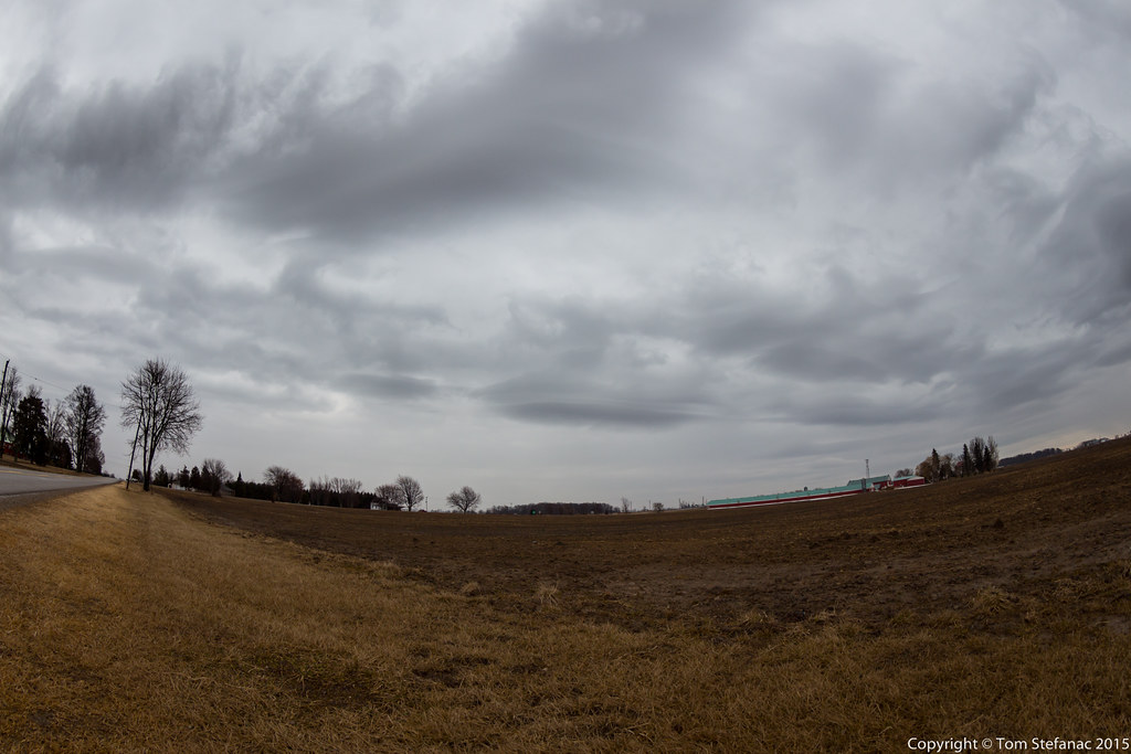
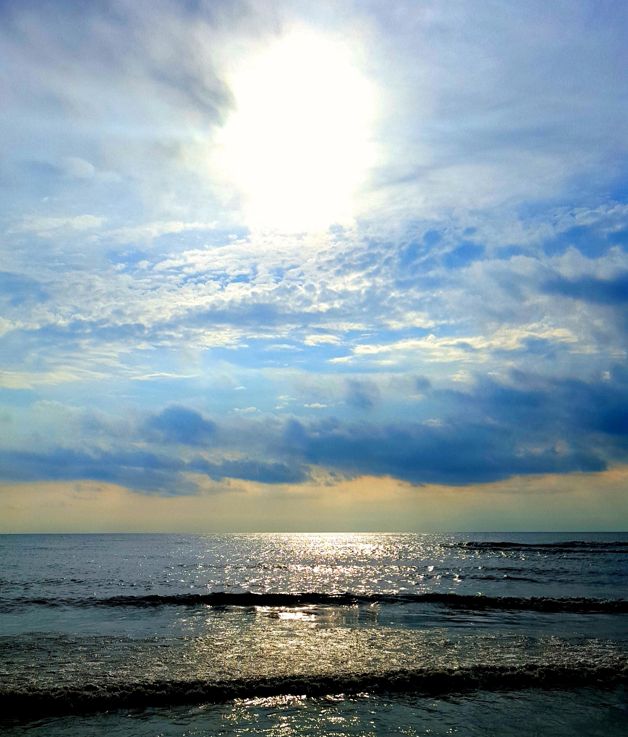
A Moment of Clarity
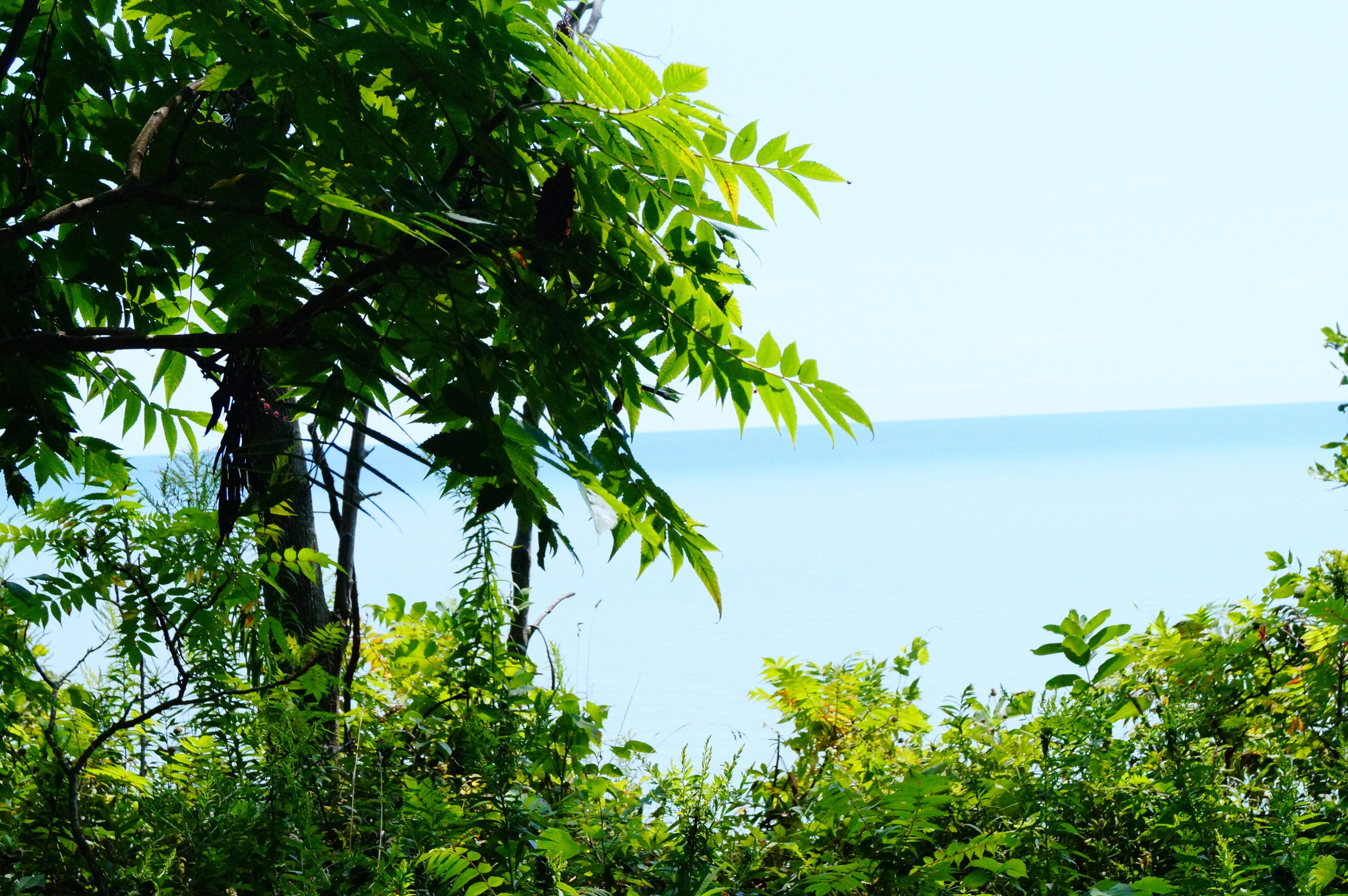
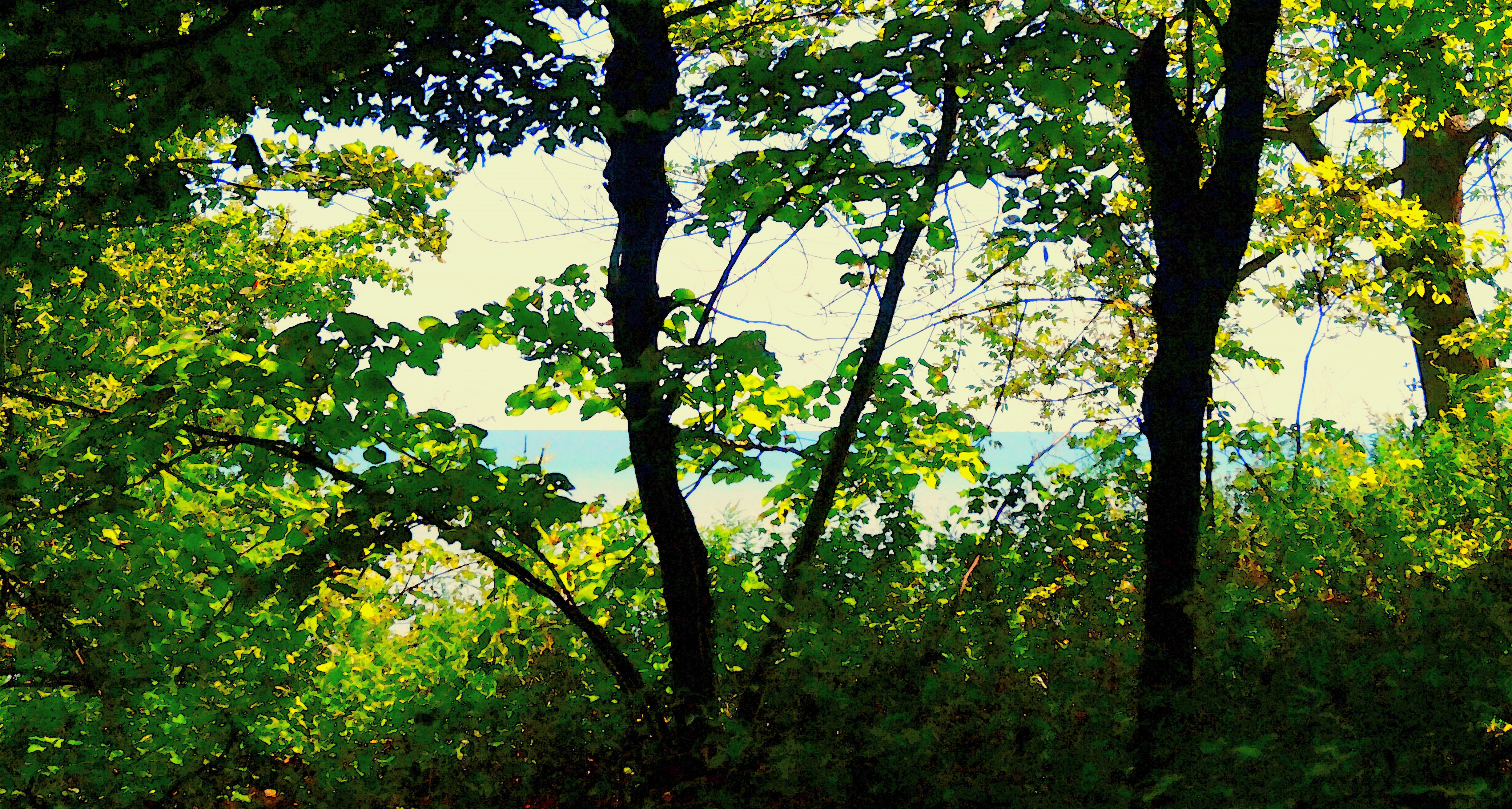
leafy view

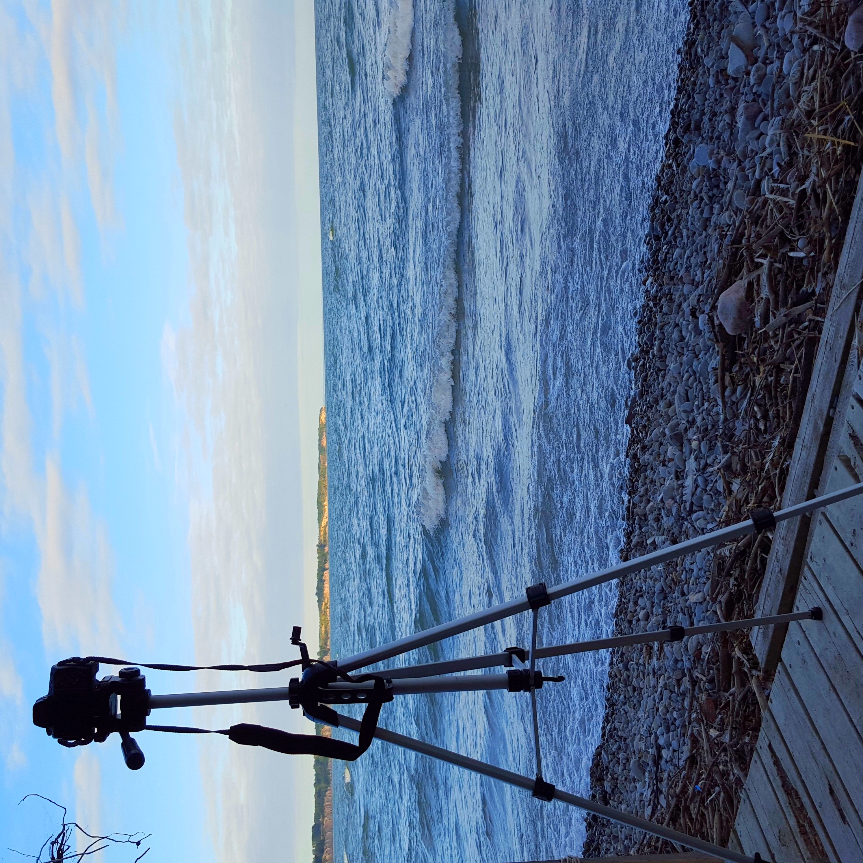
Tryconnell Beach - Waves

Tyrconnel Beach 2

Mornin Eh! #canada #roadtoad #roadtoadphoto #ios #instagram #photography
Dutton_Dunwich-20130110-00049.jpg
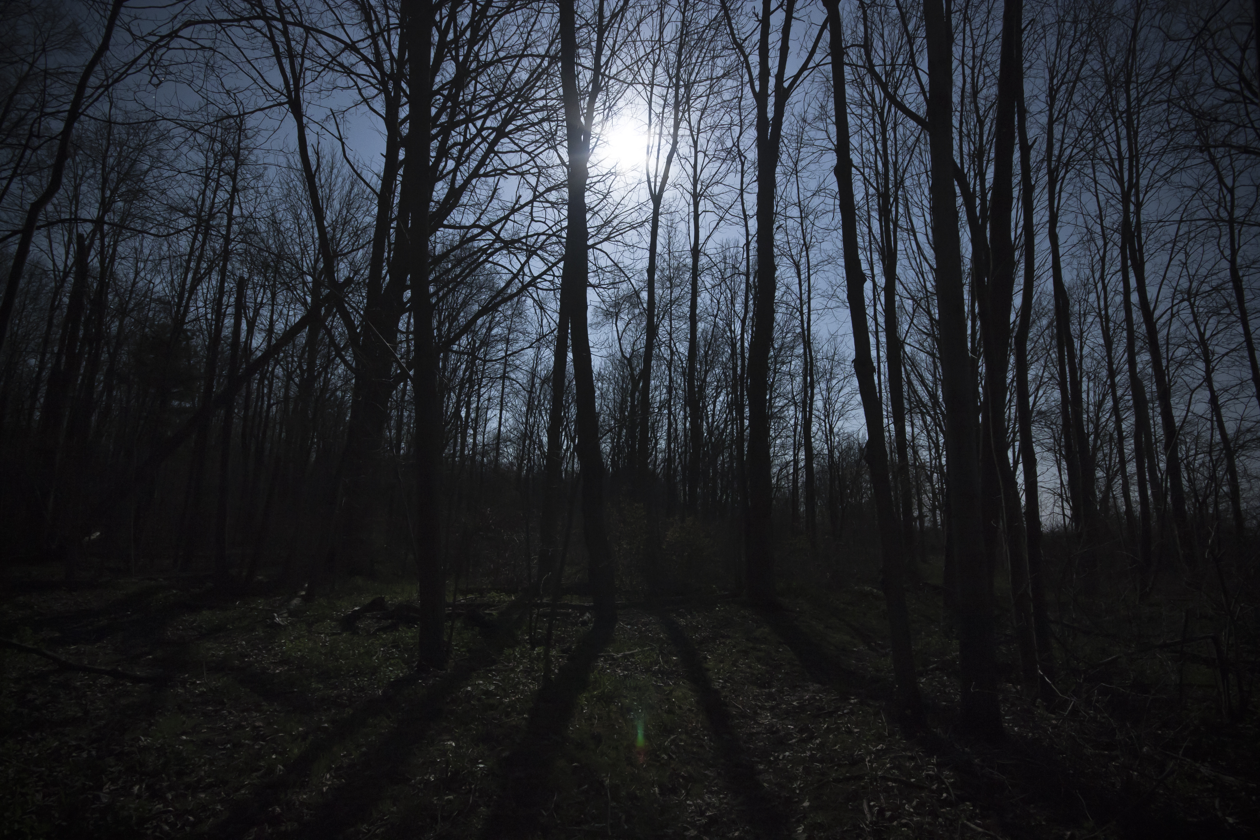
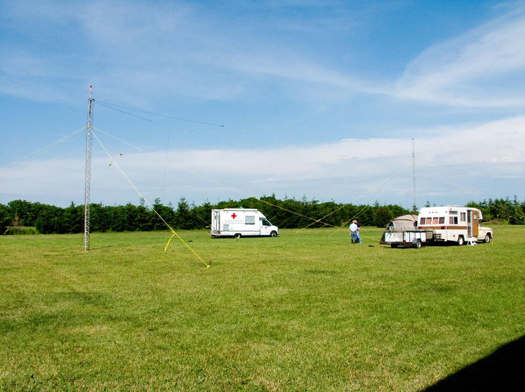
Fingal Wildlife Management Area at Night
Laminar Boundary

John E. Pearce Provincal Park
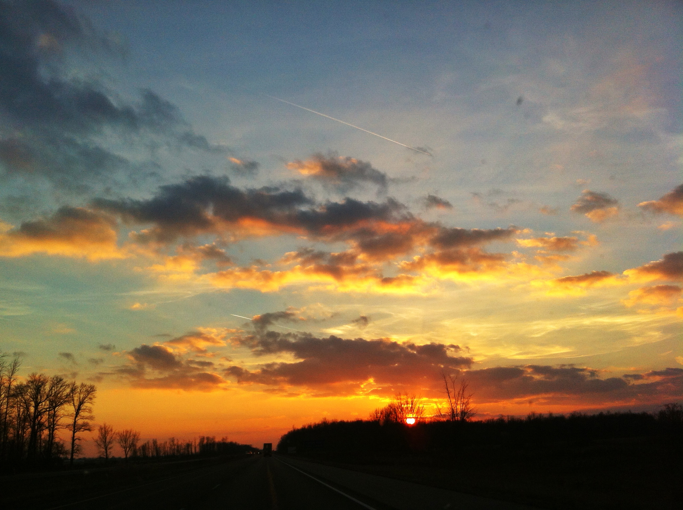
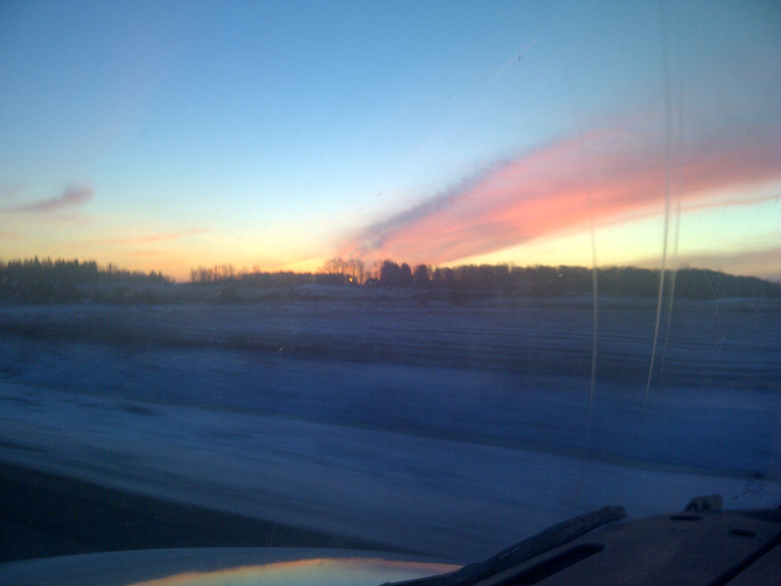
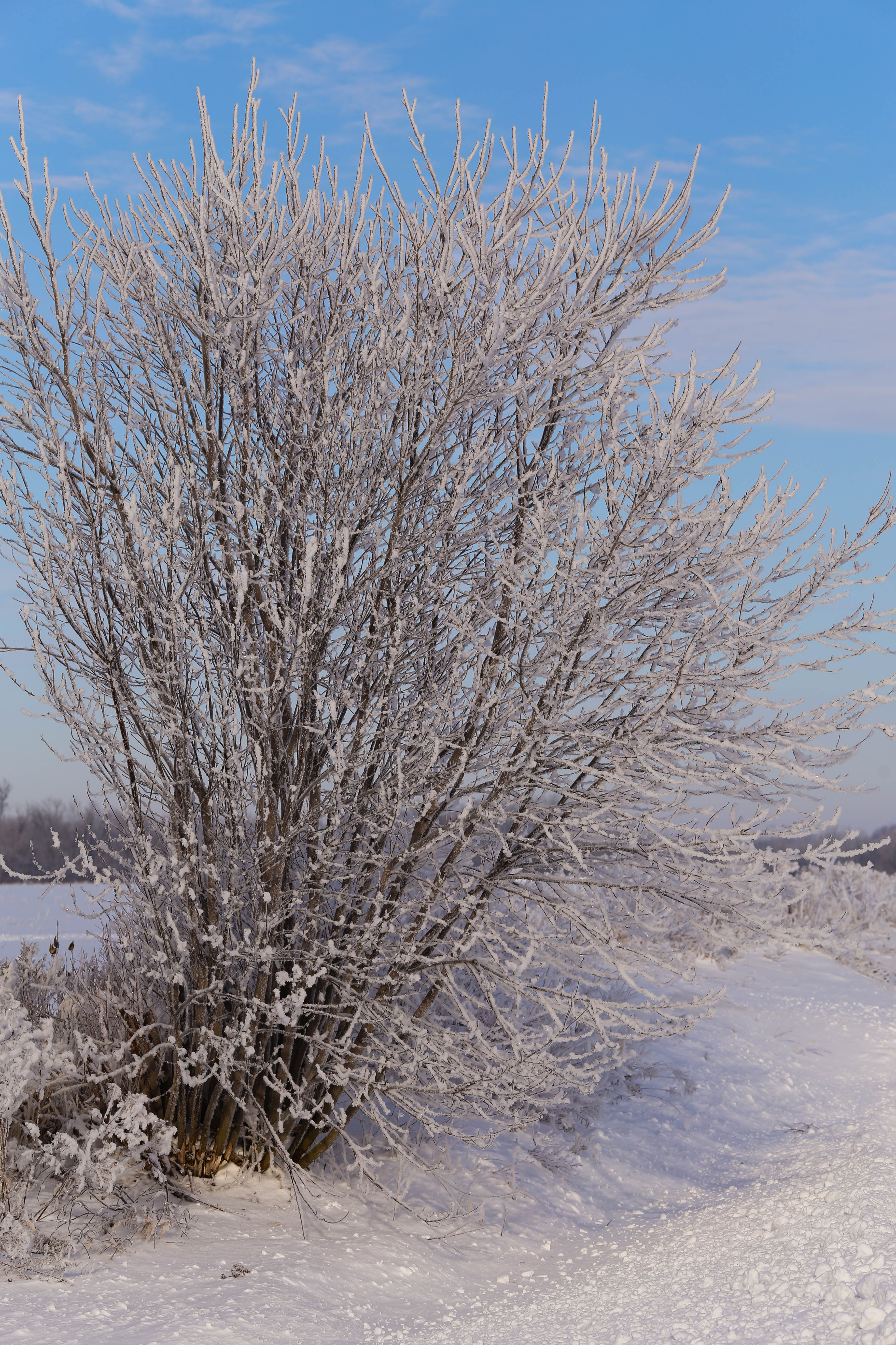
And Home Again
lakeside photo club
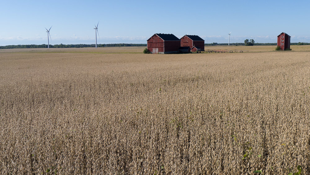
Farm-Field-Wind Turbines

may2708 (40)
another day in paradise
portstanley_February2012__087.jpg
P6280933-flkr
Lake and sky
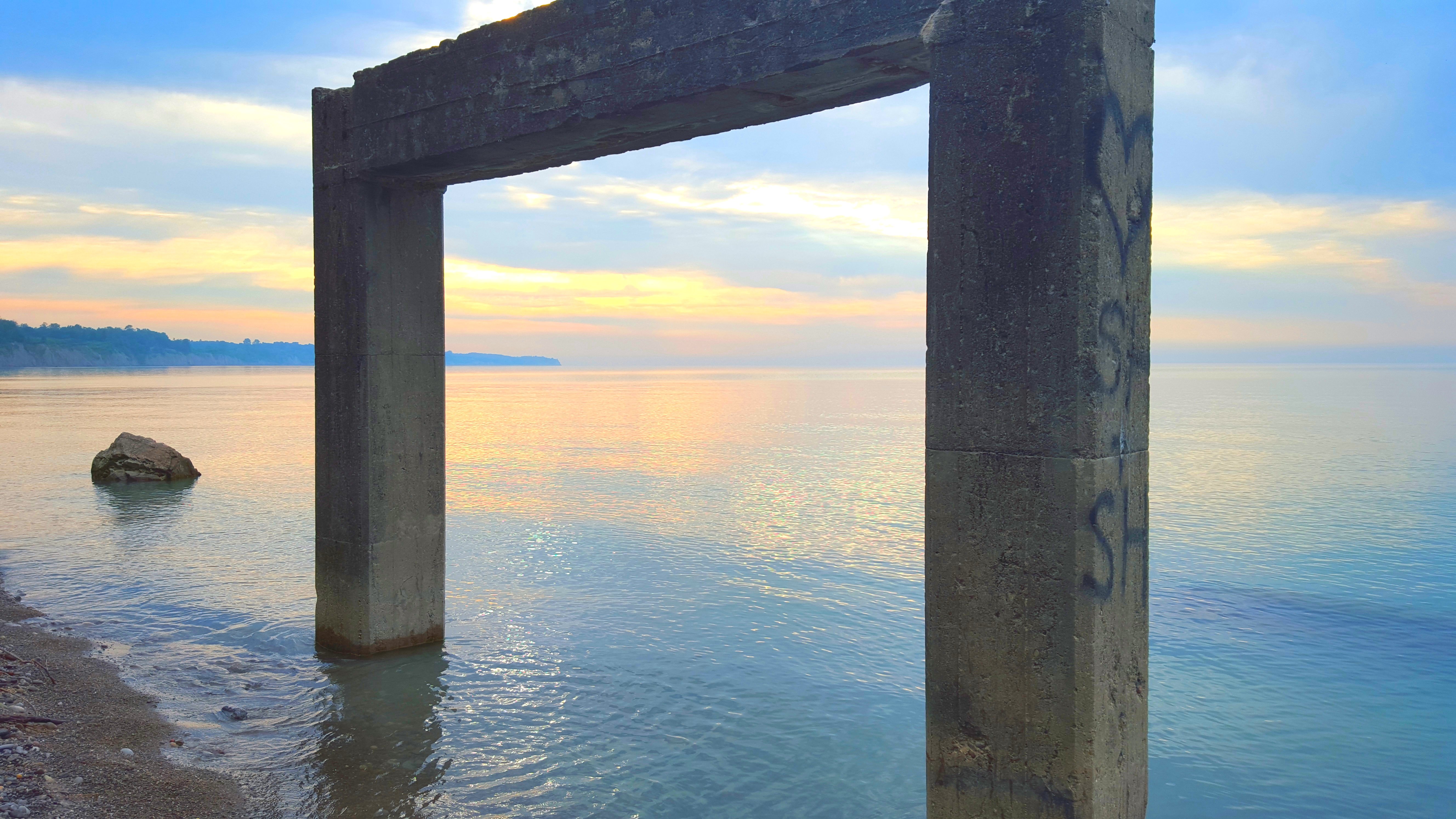
come...this way

peace and love
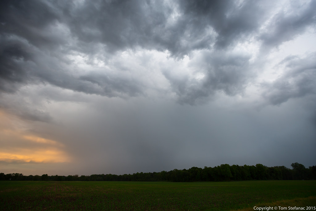
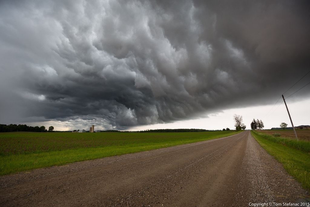
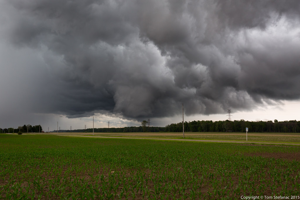
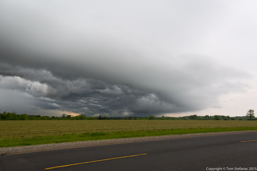
Last Storm Core
Whales Mouth
Inflow / Outflow
Outflow Pool
Topographic Map of Dutton/Dunwich, ON N0L, Canada
Find elevation by address:

Places in Dutton/Dunwich, ON N0L, Canada:
Places near Dutton/Dunwich, ON N0L, Canada:
Mary St, Dutton/Dunwich, ON N0L, Canada
Dutton
Hill St, Wallacetown, ON N0L 2M0, Canada
Iona Rd, Iona Station, ON N0L 1P0, Canada
28579 Chalmers Line
Third Line, Southwold, ON N0L 2G0, Canada
John Street North
Shedden
Ball Park Rd, Southwold, ON N0L 2G0, Canada
34571 Lake Line
Southwold
Southwold
7932 Parkhouse Dr
Frederick Street
Mount Brydges
Delaware
Middlesex County Road 2
31 Wellington St
2533 Gideon Dr
2538 Gideon Dr
Recent Searches:
- Elevation of Corso Fratelli Cairoli, 35, Macerata MC, Italy
- Elevation of Tallevast Rd, Sarasota, FL, USA
- Elevation of 4th St E, Sonoma, CA, USA
- Elevation of Black Hollow Rd, Pennsdale, PA, USA
- Elevation of Oakland Ave, Williamsport, PA, USA
- Elevation of Pedrógão Grande, Portugal
- Elevation of Klee Dr, Martinsburg, WV, USA
- Elevation of Via Roma, Pieranica CR, Italy
- Elevation of Tavkvetili Mountain, Georgia
- Elevation of Hartfords Bluff Cir, Mt Pleasant, SC, USA