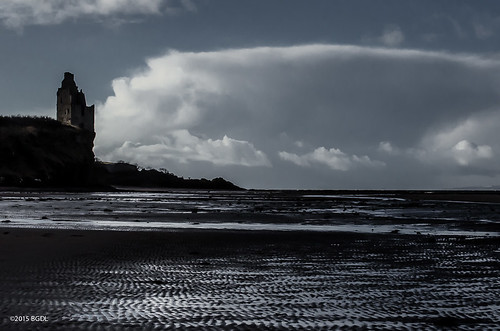
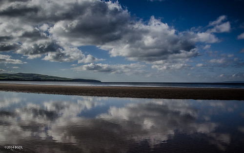
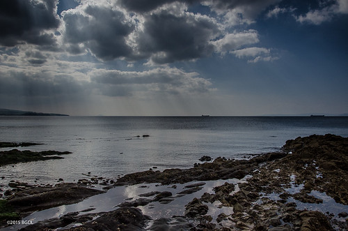
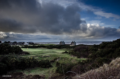
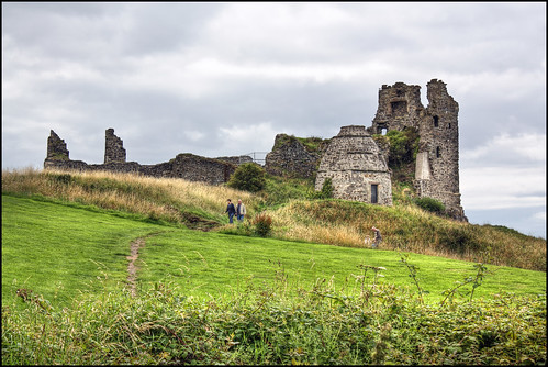
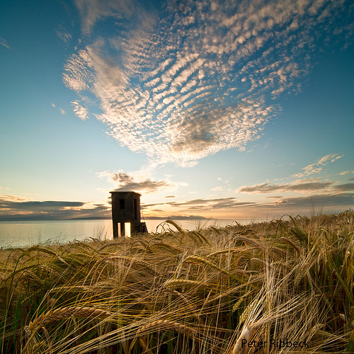
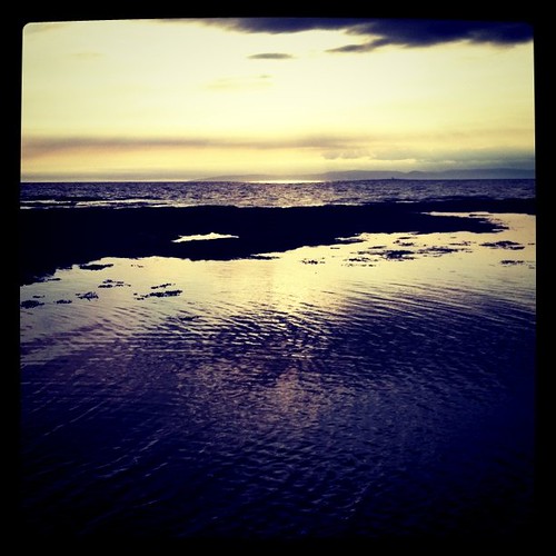
Elevation of Dunure, Ayr KA7, UK
Location: United Kingdom > Scotland > South Ayrshire >
Longitude: -4.757339
Latitude: 55.406937
Elevation: 16m / 52feet
Barometric Pressure: 101KPa
Related Photos:
Topographic Map of Dunure, Ayr KA7, UK
Find elevation by address:

Places in Dunure, Ayr KA7, UK:
Places near Dunure, Ayr KA7, UK:
29 Arran View, Dunure, Ayr KA7 4LP, UK
Ka19 8ee
Ayrshire
Trump Turnberry, A Luxury Collection Resort, Scotland
9 Arrol Dr, Ayr KA7 4AG, UK
Ayr
South Ayrshire
Alloway Street
Campbelltown Scotland
Kilkerran
Ka19 7jw
Ka7 2lr
Meadowpark
9f Craigie Ave
Ka10 6ej
Royal Troon Golf Club
Troon
Seaview
Sherwood Road
Monkton
Recent Searches:
- Elevation of Corso Fratelli Cairoli, 35, Macerata MC, Italy
- Elevation of Tallevast Rd, Sarasota, FL, USA
- Elevation of 4th St E, Sonoma, CA, USA
- Elevation of Black Hollow Rd, Pennsdale, PA, USA
- Elevation of Oakland Ave, Williamsport, PA, USA
- Elevation of Pedrógão Grande, Portugal
- Elevation of Klee Dr, Martinsburg, WV, USA
- Elevation of Via Roma, Pieranica CR, Italy
- Elevation of Tavkvetili Mountain, Georgia
- Elevation of Hartfords Bluff Cir, Mt Pleasant, SC, USA
