Elevation of Duncan Bridge Rd, Sautee Nacoochee, GA, USA
Location: United States > Georgia > White County > Sautee Nacoochee >
Longitude: -83.69091
Latitude: 34.642113
Elevation: 489m / 1604feet
Barometric Pressure: 96KPa
Elevation Map:
Satellite Map:
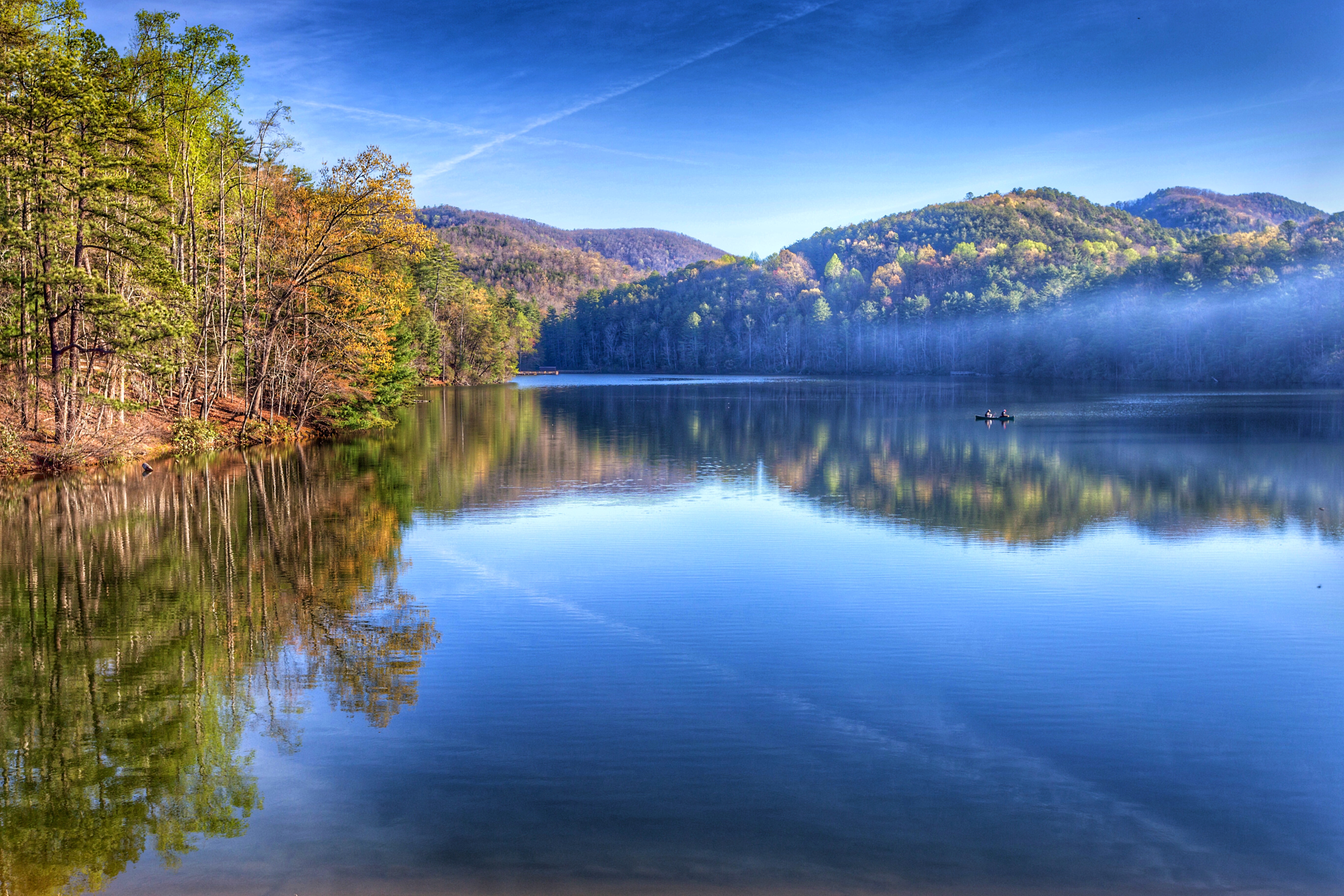
Related Photos:

Leading Light

Maidenhair Falls

Dodd Creek Falls

Faucet Falls

Raper Creek Falls

Raper Creek Falls

Raper Creek Falls

Maindenhair Falls

Maidenhair Falls

Raper Creek Falls

Dodd Creek Falls

Dodd Creek Falls

Winter Jewel

Dodd Creek Falls

Raper Creek Falls

Tiny Worlds

Falls on Dukes Creek

Maidenhair Falls

Raper Creek Falls

Maindenhair Falls

Dover Falls

Maidenhair Falls

Anna Ruby Falls
Good morning world! Helen, Ga.

Falls on Dukes Creek
Topographic Map of Duncan Bridge Rd, Sautee Nacoochee, GA, USA
Find elevation by address:

Places near Duncan Bridge Rd, Sautee Nacoochee, GA, USA:
466 Glenns Dr
466 Glenns Dr
466 Glenns Dr
267 Scenic Dr
269 Panorama Dr
584 Chalet Dr
401 Laurel Ridge Rd
191 Yellow Rock Rd
685 Panorama Dr
685 Panorama Dr
181 Henry St #38
174 Henry St
1000 Glenns Dr
1077 Panorama Dr
1437 Panorama Dr
94 Autumn Hill Rd #15
1795 Panorama Dr
94 Autumn Hill Rd #15
Yonah Mountain
Recent Searches:
- Elevation of Corso Fratelli Cairoli, 35, Macerata MC, Italy
- Elevation of Tallevast Rd, Sarasota, FL, USA
- Elevation of 4th St E, Sonoma, CA, USA
- Elevation of Black Hollow Rd, Pennsdale, PA, USA
- Elevation of Oakland Ave, Williamsport, PA, USA
- Elevation of Pedrógão Grande, Portugal
- Elevation of Klee Dr, Martinsburg, WV, USA
- Elevation of Via Roma, Pieranica CR, Italy
- Elevation of Tavkvetili Mountain, Georgia
- Elevation of Hartfords Bluff Cir, Mt Pleasant, SC, USA