Elevation of Dub, Czech Republic
Location: Czech Republic > South Bohemian Region > Prachatice District >
Longitude: 14.0120527
Latitude: 49.1082394
Elevation: 477m / 1565feet
Barometric Pressure: 96KPa
Elevation Map:
Satellite Map:
Related Photos:
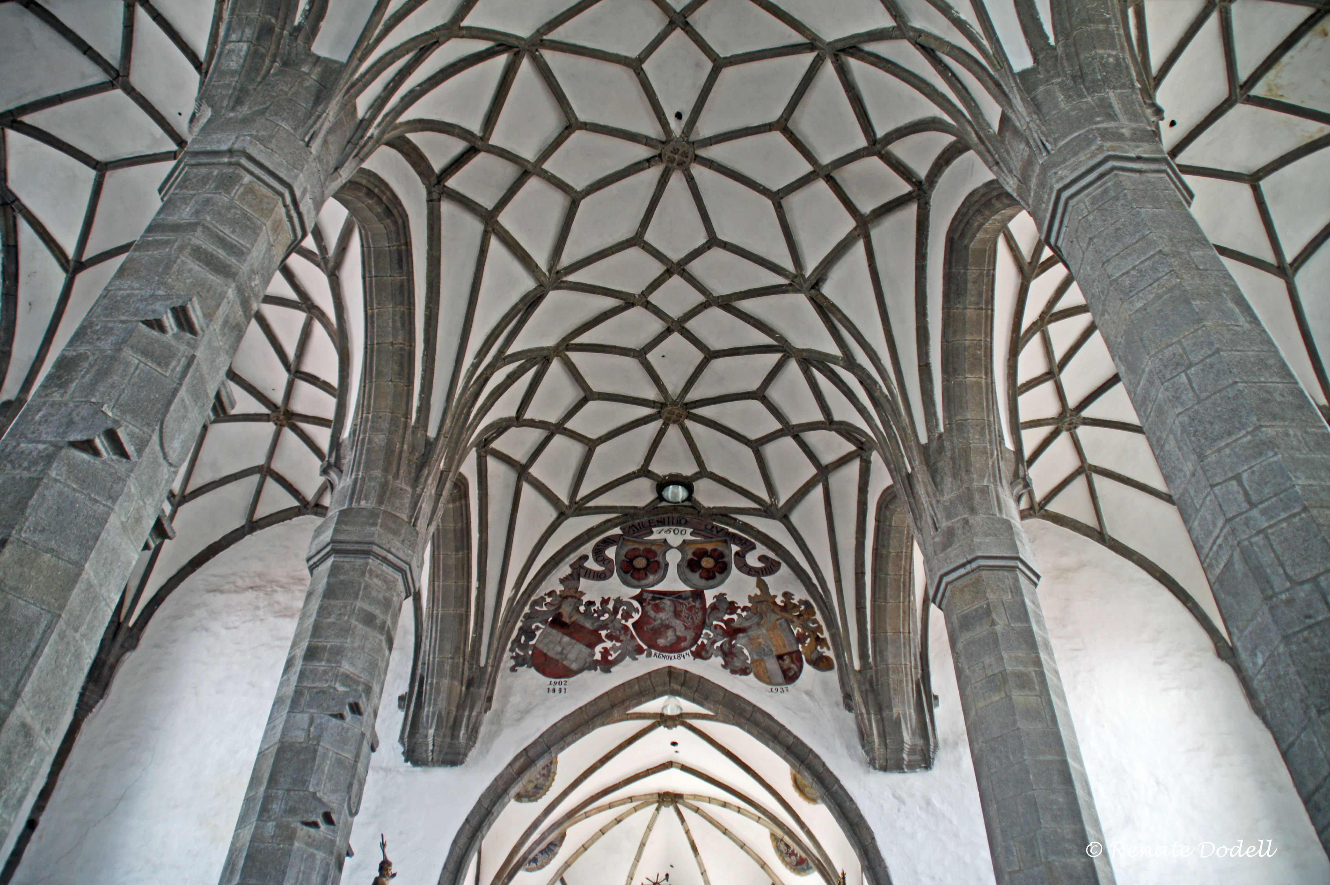
Gotic vaults

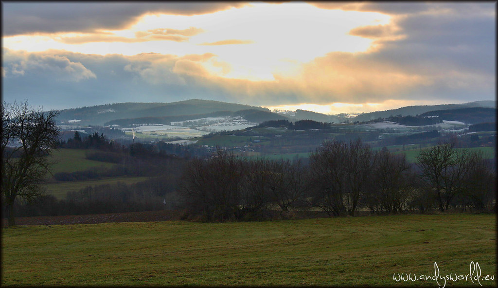
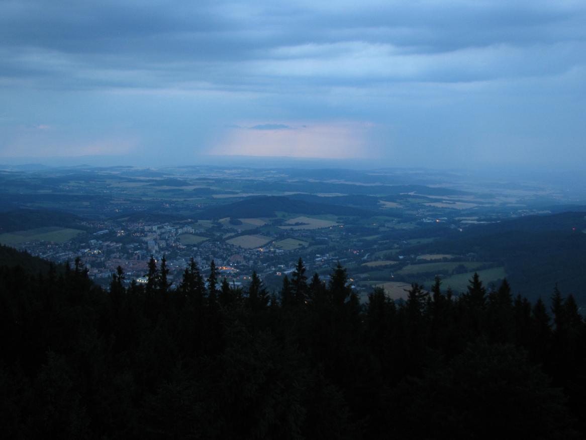
Morning in Prachatice
Hoštice
Morning roofs from the Prachatice city garden

Dementia unit view

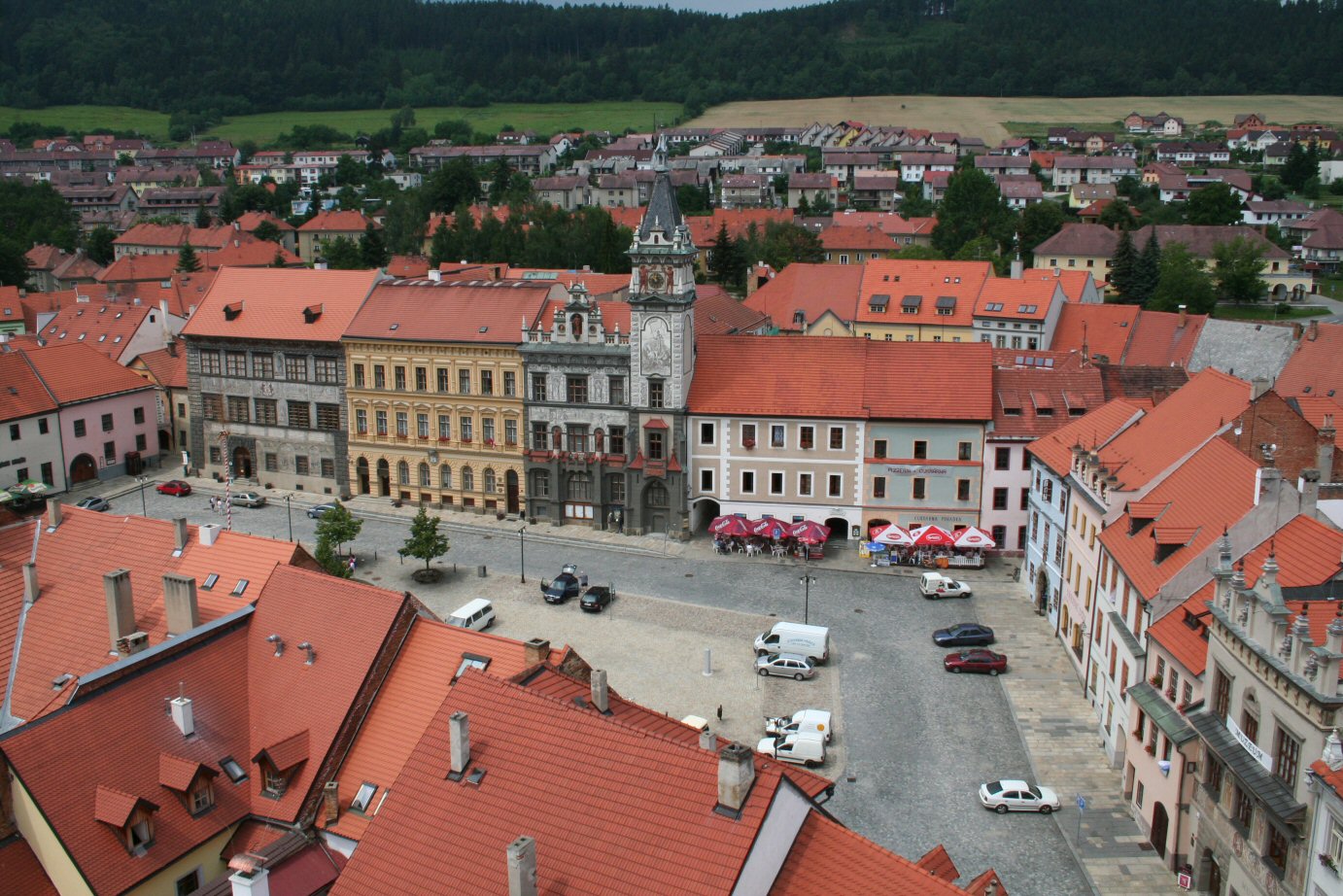
Town square view
Velké náměstí again

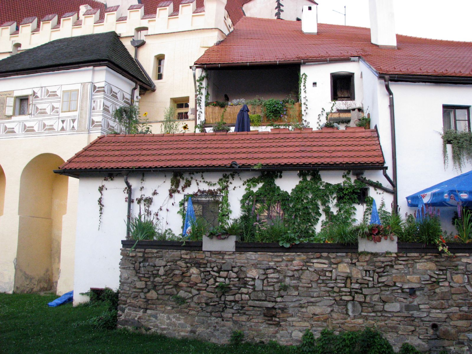
Czech Country House Palasovna
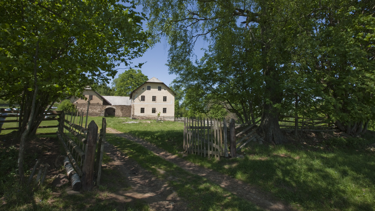
Czech Country House Palasovna

Czech Country House Palasovna
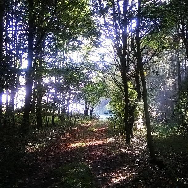
U kříže
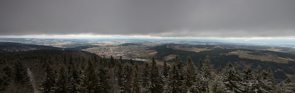
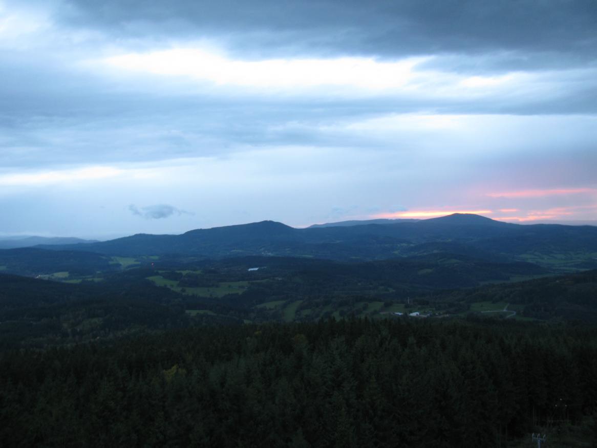
Prachaticko z Libína
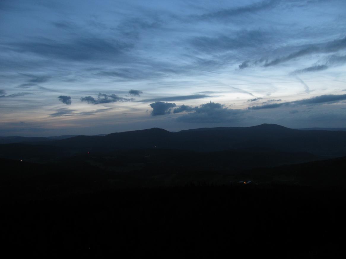
20130909-2001
20130901-2022

20130804-2053
20140610-1746
20131006-1854

LKSR Strunkovice - na konci dráhy

20140620-2023

20120707-2025

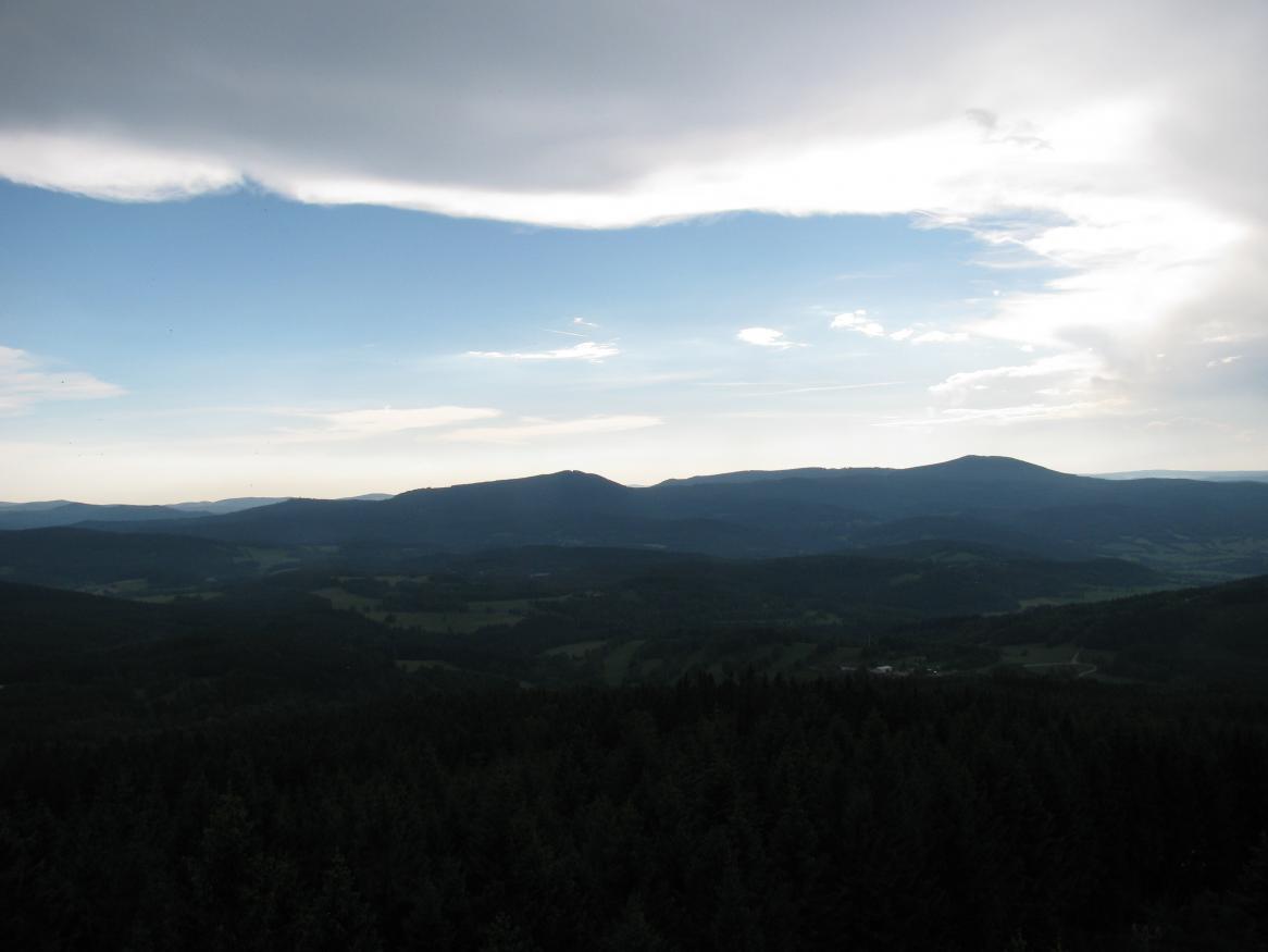
20130620-1700
20130620-1655
20120924-1913
20140707-2121pt
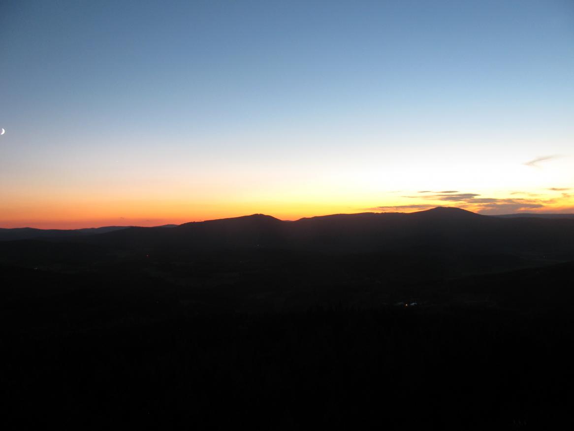
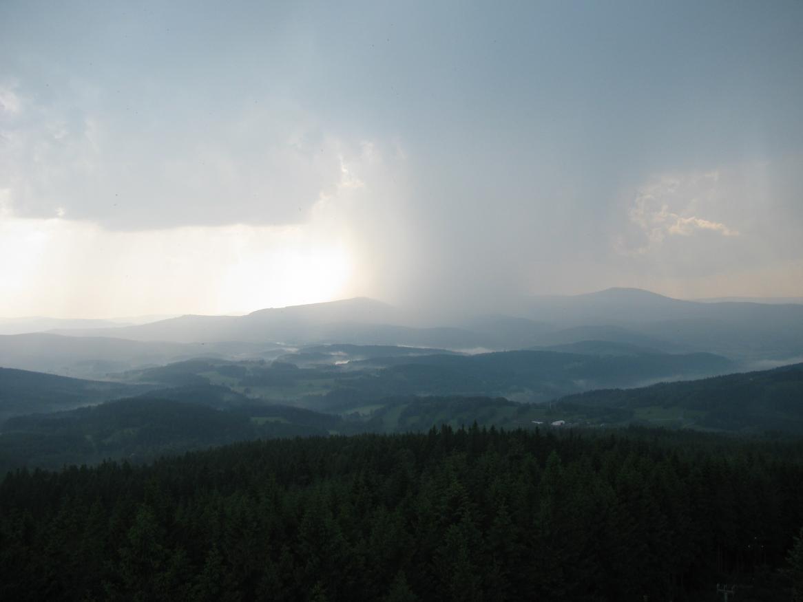
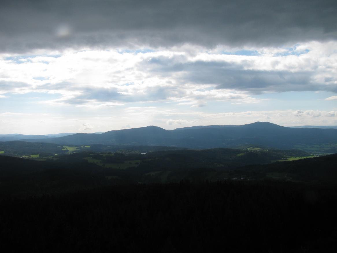
Before the storm
20140824-1628

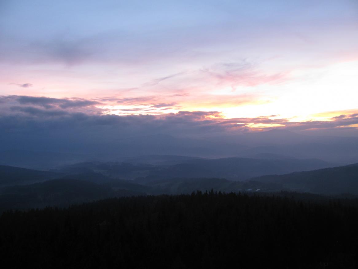
20140722-1840

20120707-2026pt

20130915-1940

20140630-2110
Topographic Map of Dub, Czech Republic
Find elevation by address:

Places in Dub, Czech Republic:
Places near Dub, Czech Republic:
Javornice 8, 22 Dub, Czech Republic
Javornice
Bohunice 29, 22 Bohunice, Czech Republic
Bohunice
Strunkovice Nad Blanicí
Nišovice 35, 01 Nišovice, Czech Republic
Nišovice
Radhostice
Lštění
Lštění 10, 81 Radhostice, Czech Republic
Doubravice u Volyně 41, 01 Čestice, Czech Republic
Čkyně
Čkyně 41, 81 Čkyně, Czech Republic
Doubravice U Volyně
Čestice
Dřešín 44, 19 Dřešín, Czech Republic
Vnarovy
Vnarovy 3, 01 Vimperk, Czech Republic
Dřešín
Vimperk
Recent Searches:
- Elevation of Corso Fratelli Cairoli, 35, Macerata MC, Italy
- Elevation of Tallevast Rd, Sarasota, FL, USA
- Elevation of 4th St E, Sonoma, CA, USA
- Elevation of Black Hollow Rd, Pennsdale, PA, USA
- Elevation of Oakland Ave, Williamsport, PA, USA
- Elevation of Pedrógão Grande, Portugal
- Elevation of Klee Dr, Martinsburg, WV, USA
- Elevation of Via Roma, Pieranica CR, Italy
- Elevation of Tavkvetili Mountain, Georgia
- Elevation of Hartfords Bluff Cir, Mt Pleasant, SC, USA