Elevation of Dubá, Czech Republic
Location: Czech Republic > Liberec Region > Česká Lípa District >
Longitude: 14.5402433
Latitude: 50.5403441
Elevation: 270m / 886feet
Barometric Pressure: 98KPa
Elevation Map:
Satellite Map:
Related Photos:

Evening view
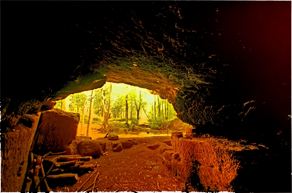
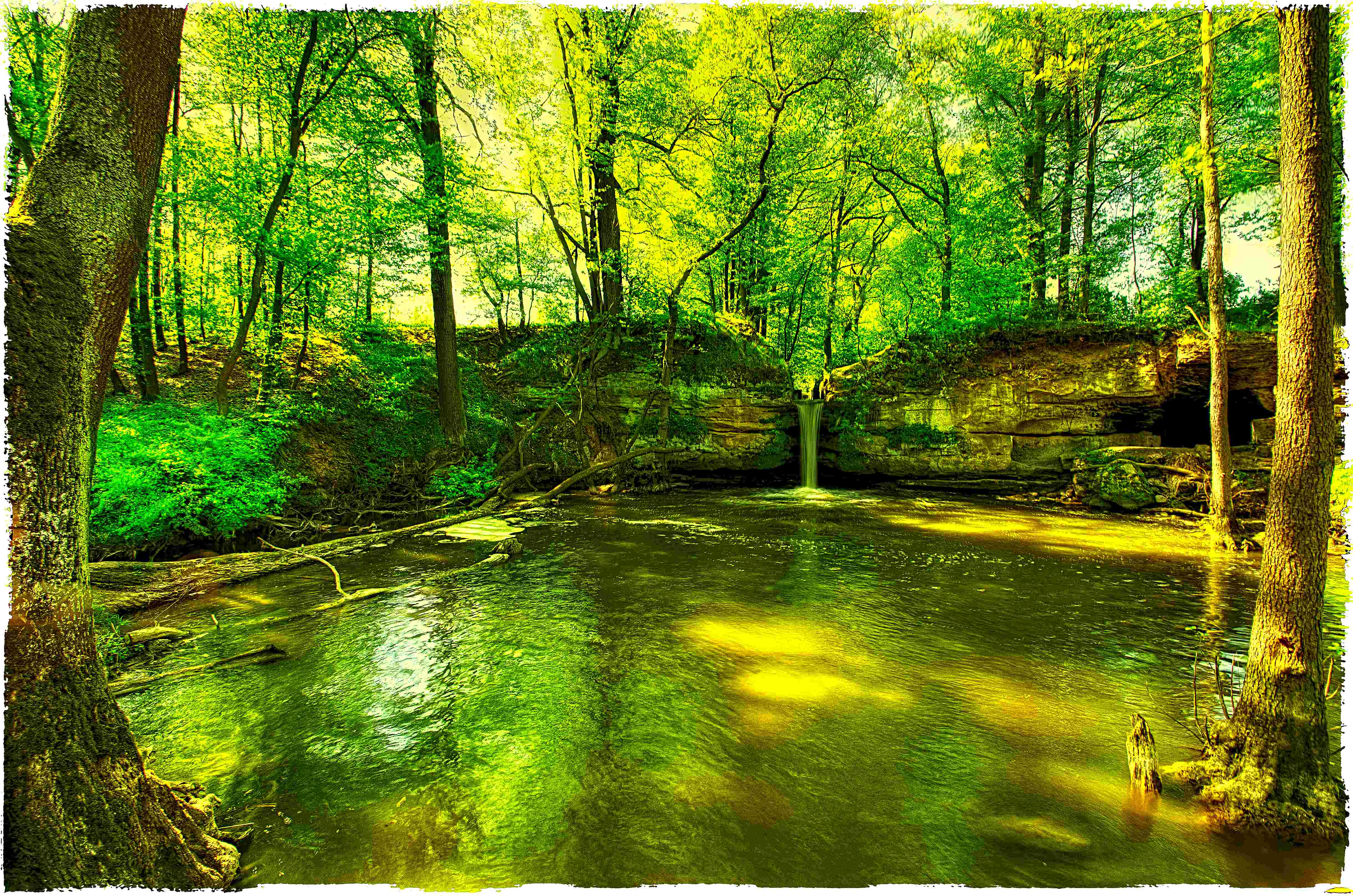
view from the cave
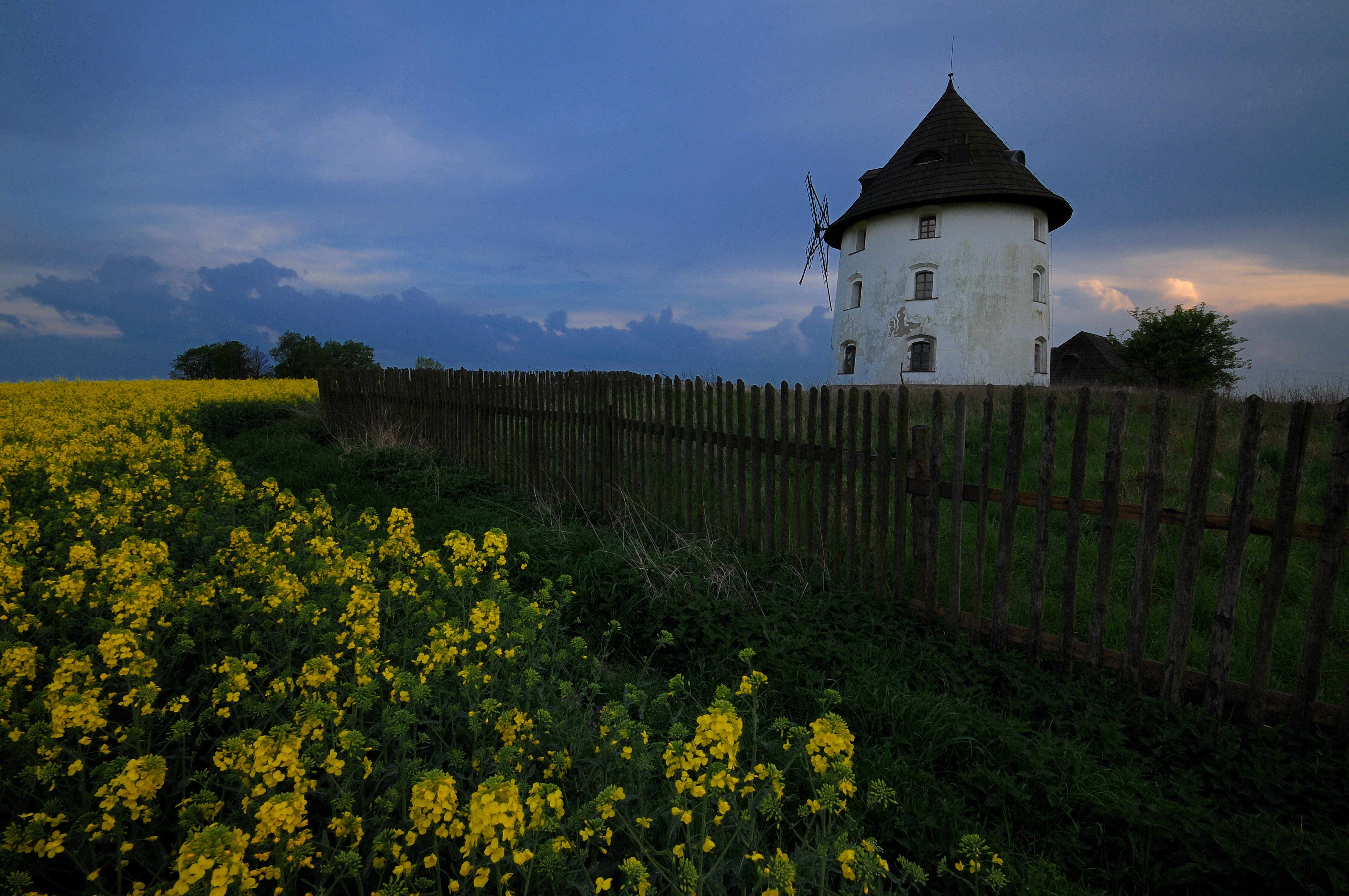
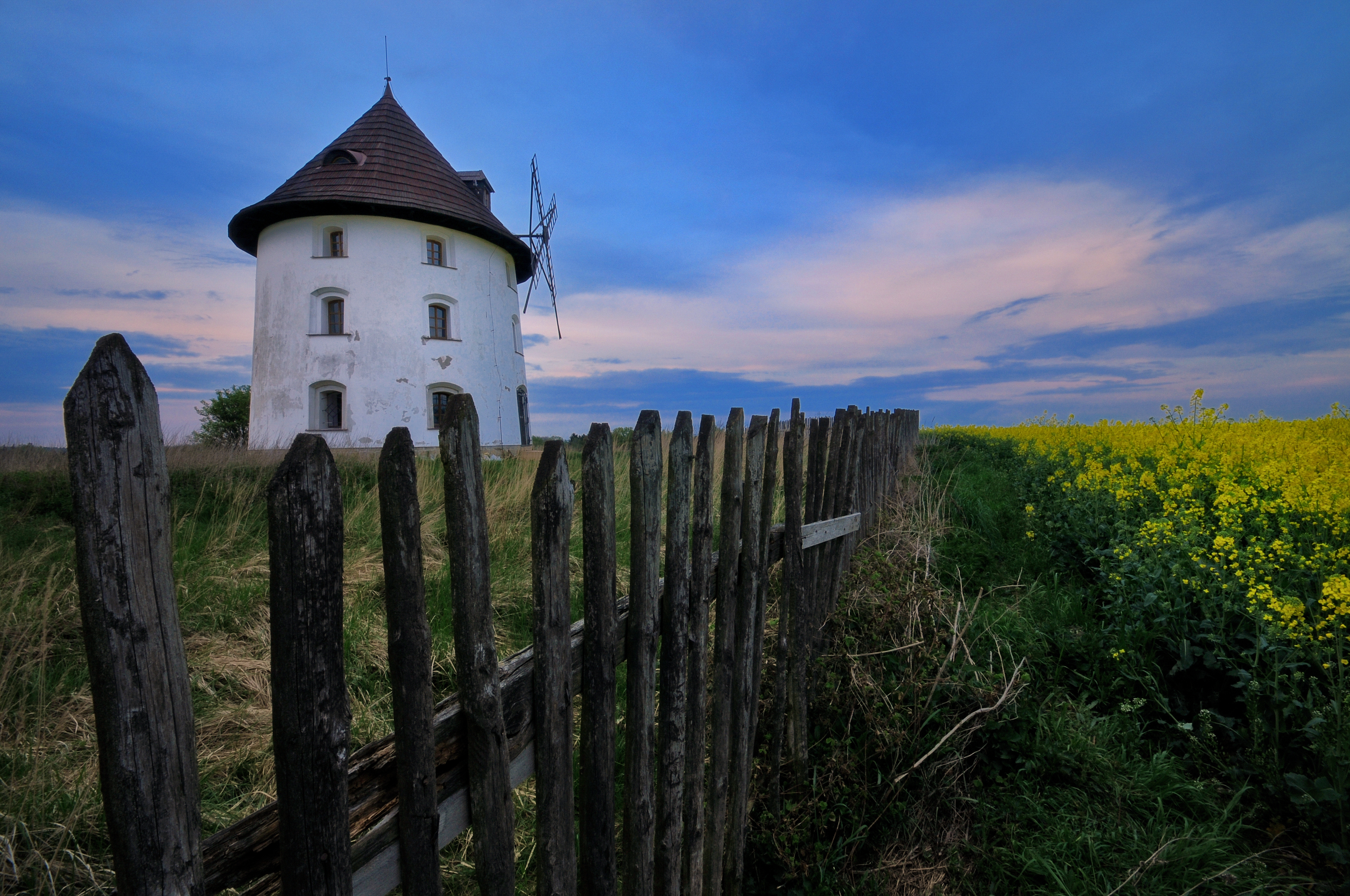
"abandoned windmill at dusk"
"sad landscape"
Šváby

Konec Harasova
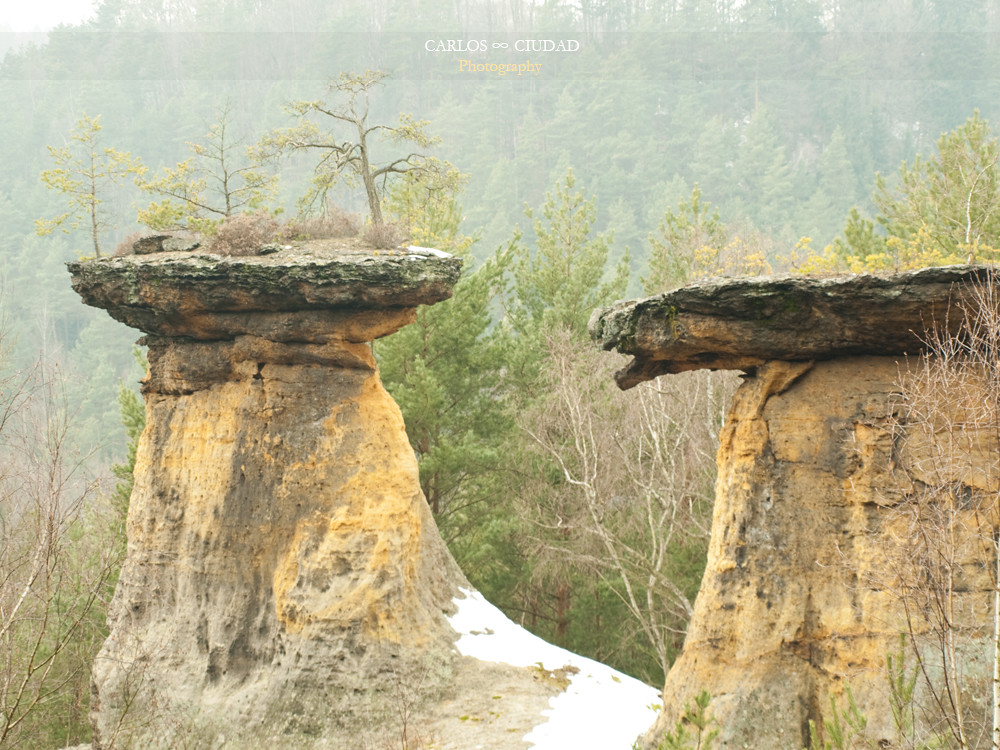
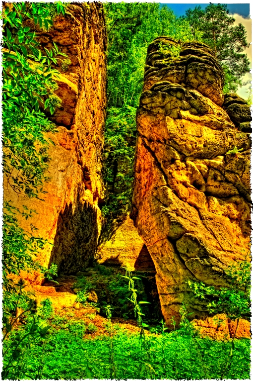
The edge of the Void

Ke koním na louku
Holany-Zahrádky
restored cross

sun peeks

Late evening
sunset over Vlhošť
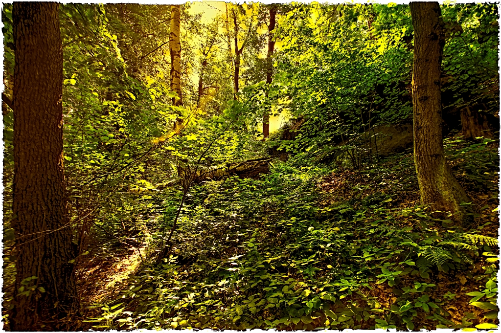
forest spirits
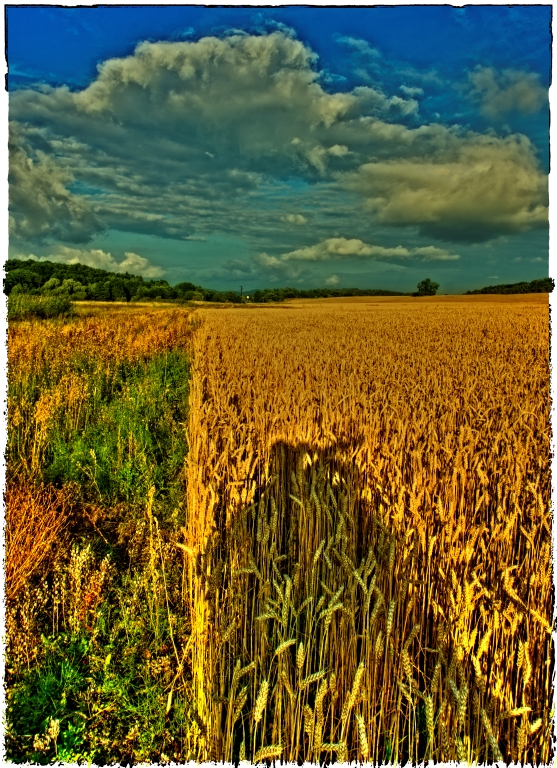
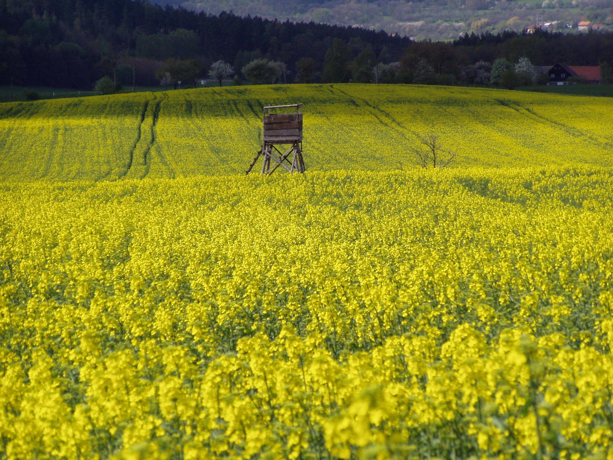
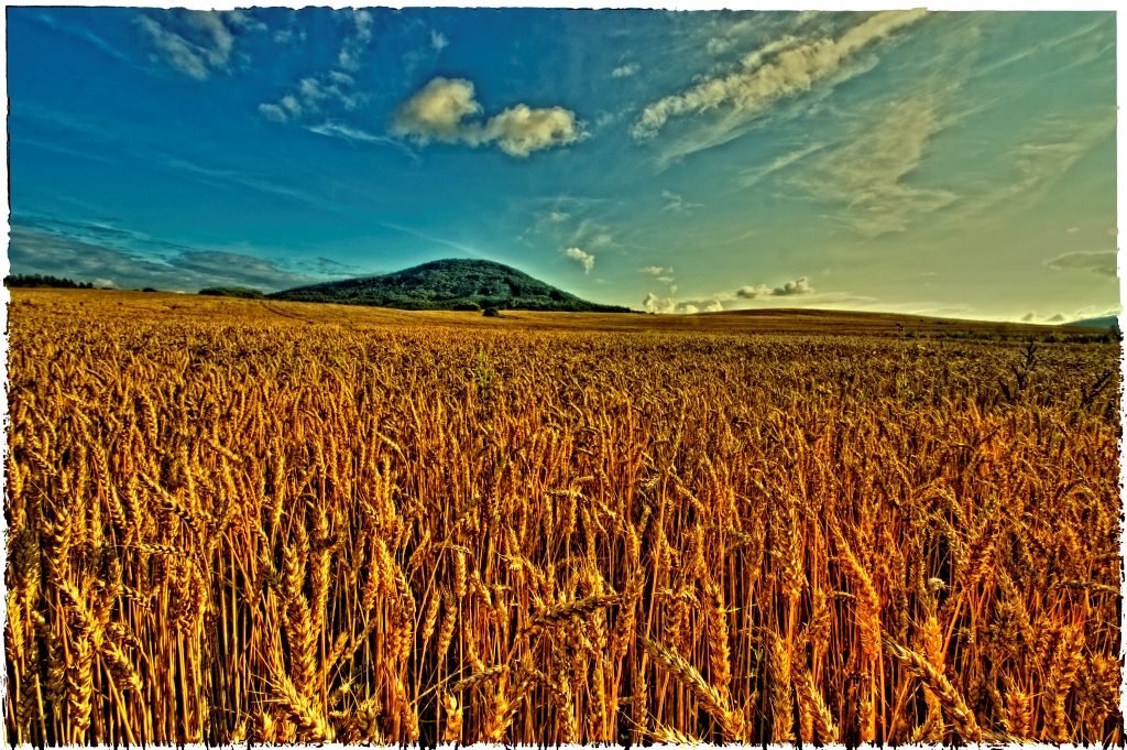
on the field
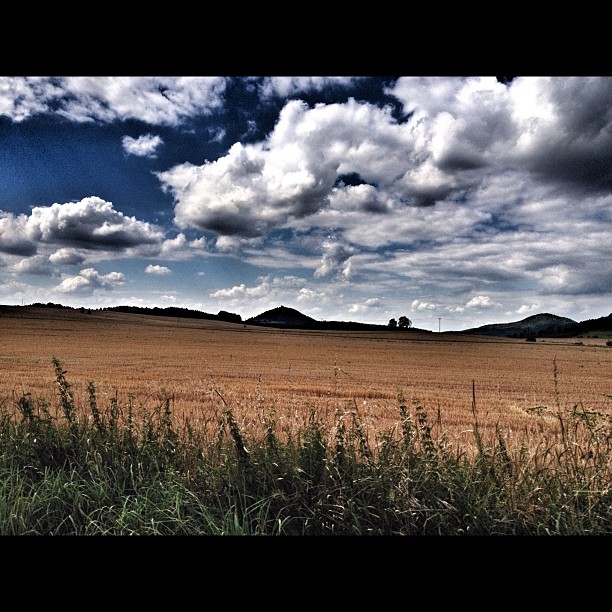
Pole a mraky #sky#sun#nature#iphoneonly#photoofday#
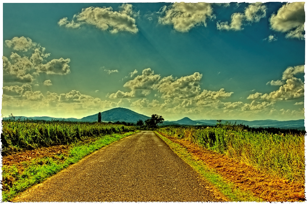
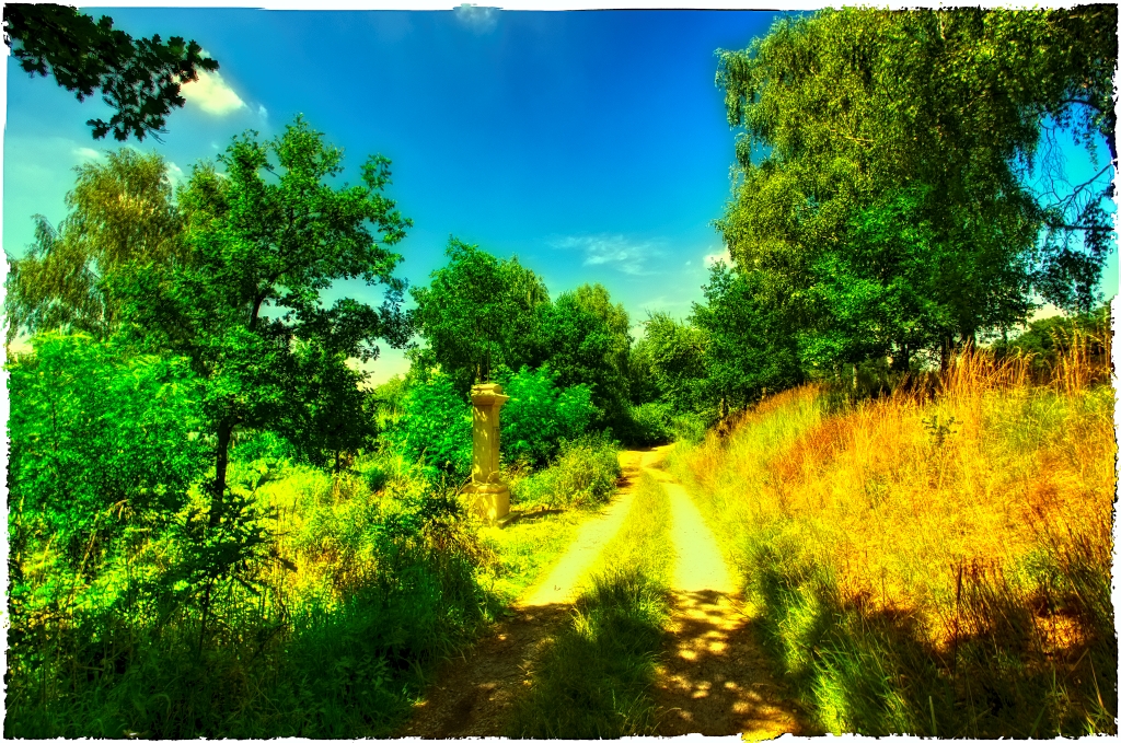
road to Holany

Lesní cesta z Harasova
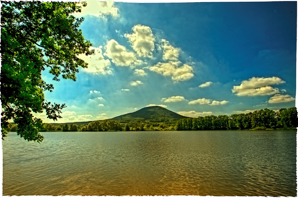
Vlhošť

poplar tree and cross

Evening sky
between Dolansky and Hrazsky ponds

Ke koním na louku
Topographic Map of Dubá, Czech Republic
Find elevation by address:

Places in Dubá, Czech Republic:
Places near Dubá, Czech Republic:
Deštná 60, 01 Dubá, Czech Republic
Deštná
Loubí
Loubí 60, 02 Holany, Czech Republic
Holany
Nové Tupadly 28, 21 Želízy, Czech Republic
Nové Tupadly
Želízy
Štětí, 08 Štětí, Czech Republic
Stránka
Tajná 16, 35 Stránka, Czech Republic
Tajná
Štětí
Mělník
Úštěk
Chorušice
Ostrý
Ostrý 6, 35 Stránka, Czech Republic
Zahájí 2, 37 Chorušice, Czech Republic
Zahájí
Recent Searches:
- Elevation of Corso Fratelli Cairoli, 35, Macerata MC, Italy
- Elevation of Tallevast Rd, Sarasota, FL, USA
- Elevation of 4th St E, Sonoma, CA, USA
- Elevation of Black Hollow Rd, Pennsdale, PA, USA
- Elevation of Oakland Ave, Williamsport, PA, USA
- Elevation of Pedrógão Grande, Portugal
- Elevation of Klee Dr, Martinsburg, WV, USA
- Elevation of Via Roma, Pieranica CR, Italy
- Elevation of Tavkvetili Mountain, Georgia
- Elevation of Hartfords Bluff Cir, Mt Pleasant, SC, USA