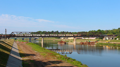
Elevation of Dry Ridge Rd, Cincinnati, OH, USA
Location: United States > Ohio > Hamilton County > Colerain Township >
Longitude: -84.625449
Latitude: 39.2617964
Elevation: 278m / 912feet
Barometric Pressure: 98KPa
Related Photos:
Topographic Map of Dry Ridge Rd, Cincinnati, OH, USA
Find elevation by address:

Places near Dry Ridge Rd, Cincinnati, OH, USA:
Colerain Township
6144 Blue Rock Rd
Colerain Ave, Cincinnati, OH, USA
Main St, Harrison, OH, USA
9286 Lockwood Hill Rd
Niagara St, Cincinnati, OH, USA
Northbrook
8448 Chesswood Dr
Lick Road
2084 Cardinal Ave
Groesbeck
4863 Hubble Rd
Banning Rd, Cincinnati, OH, USA
White Oak
Ross
9521 Treetop Ln
Sunliner Ct, Cincinnati, OH, USA
2480 Cornwall Dr
7600 Colerain Ave
6000 Sheed Rd
Recent Searches:
- Elevation of Corso Fratelli Cairoli, 35, Macerata MC, Italy
- Elevation of Tallevast Rd, Sarasota, FL, USA
- Elevation of 4th St E, Sonoma, CA, USA
- Elevation of Black Hollow Rd, Pennsdale, PA, USA
- Elevation of Oakland Ave, Williamsport, PA, USA
- Elevation of Pedrógão Grande, Portugal
- Elevation of Klee Dr, Martinsburg, WV, USA
- Elevation of Via Roma, Pieranica CR, Italy
- Elevation of Tavkvetili Mountain, Georgia
- Elevation of Hartfords Bluff Cir, Mt Pleasant, SC, USA


