Elevation of Drake Peak, Oregon, USA
Location: United States > Oregon > Lake County >
Longitude: -120.12356
Latitude: 42.3001615
Elevation: 2529m / 8297feet
Barometric Pressure: 74KPa
Elevation Map:
Satellite Map:
Related Photos:
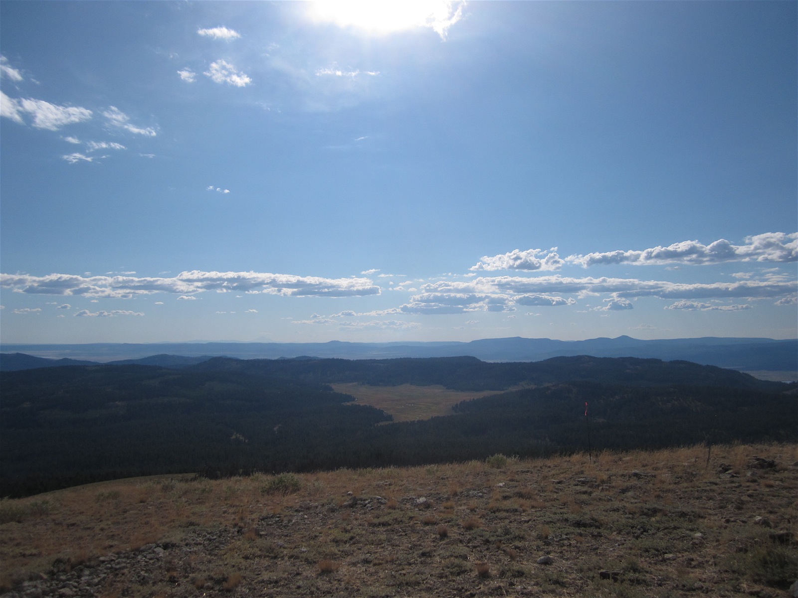
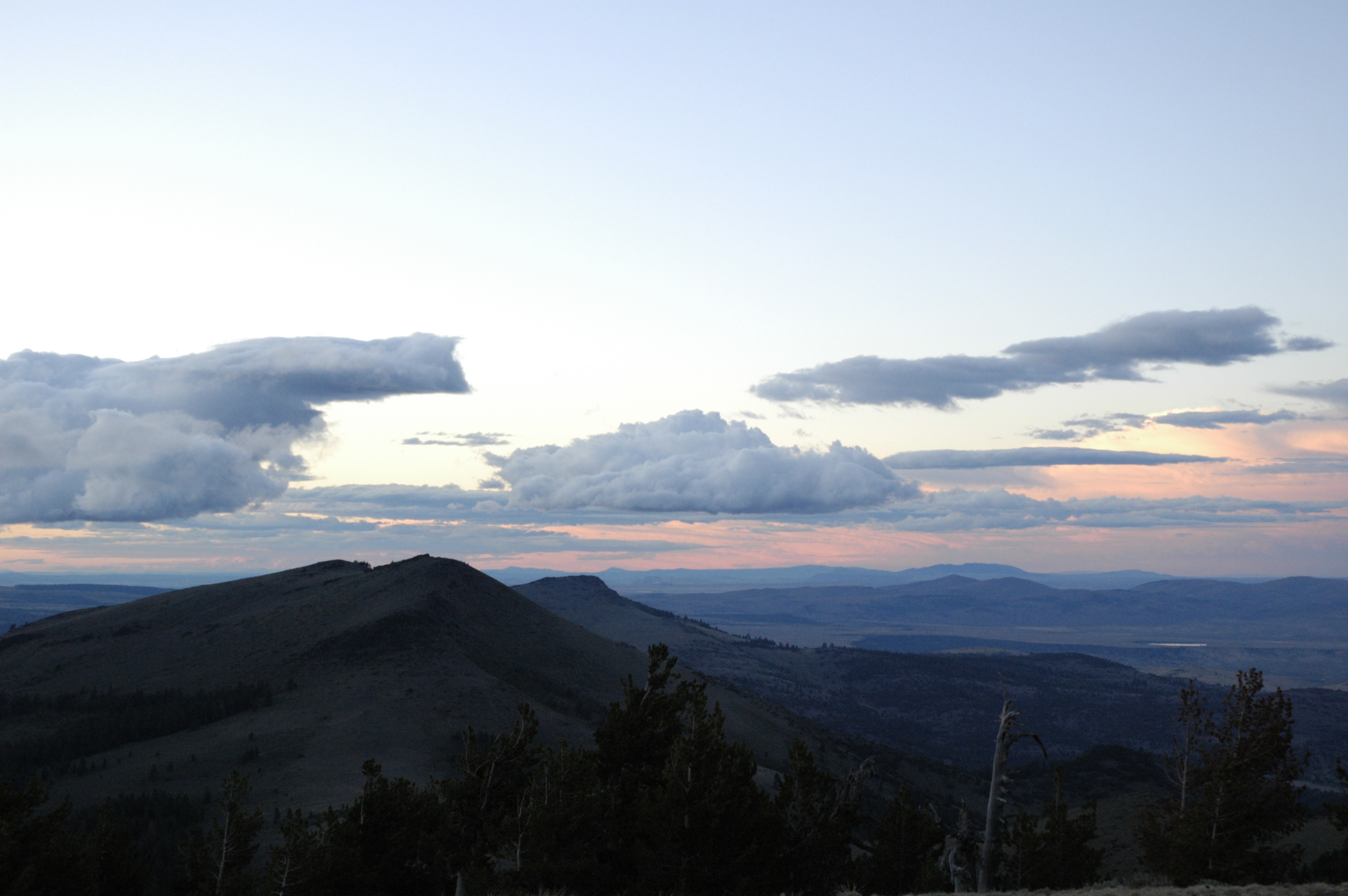
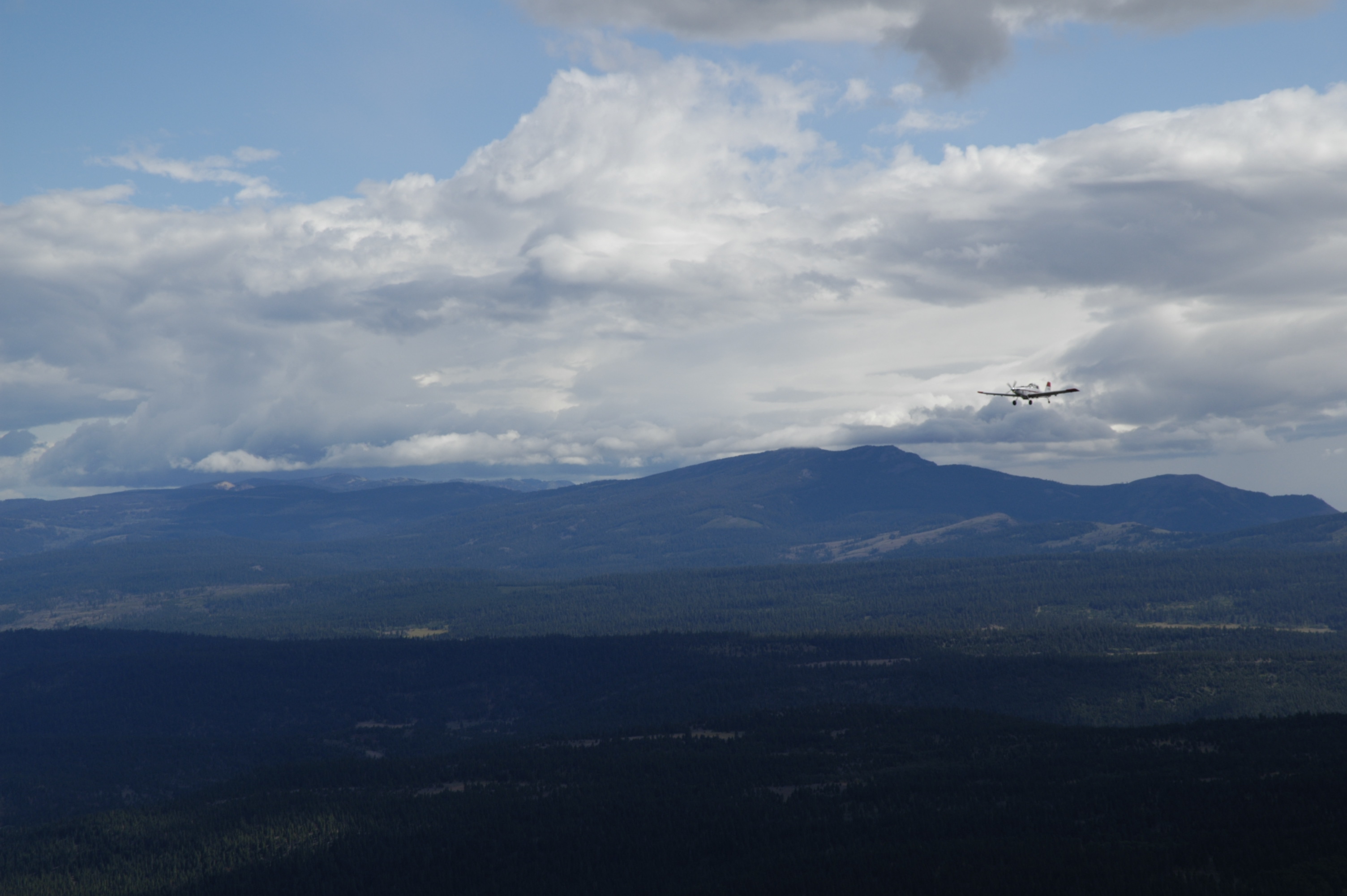
The view
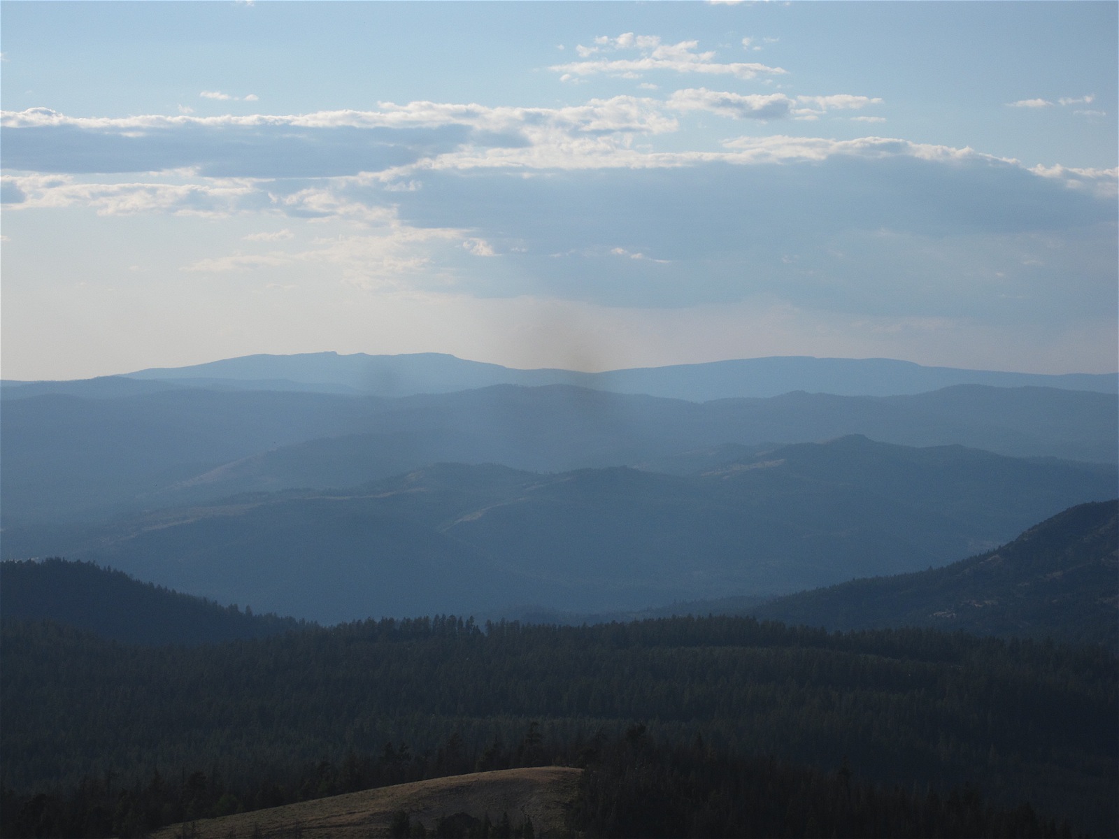
The westward view from Drake Peak
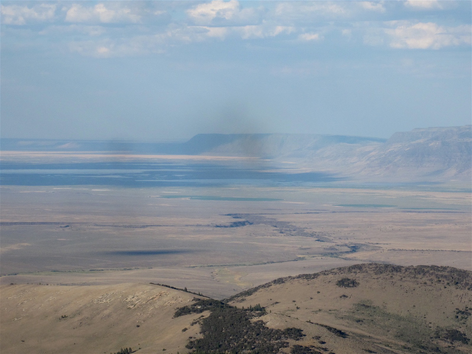
The eastward view from Drake Peak
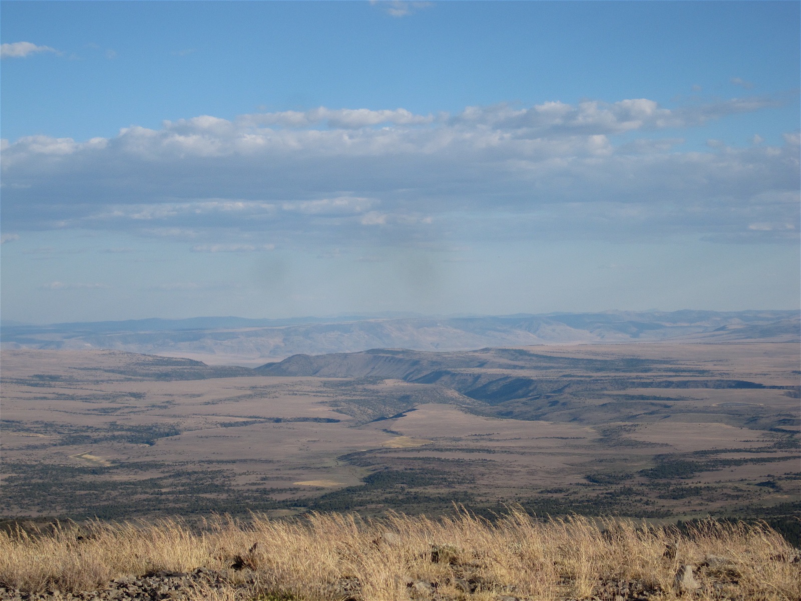
The southeastern view from Drake Peak
drakepeaklo07071813.JPG
drakepeaklo07071812.JPG
Topographic Map of Drake Peak, Oregon, USA
Find elevation by address:

Places near Drake Peak, Oregon, USA:
Plush Adel Road
440 N F St
Plush
Lakeview
Hunter's Hot Springs Lodge
Irishmans Campground
19438 Patten Meadow Rd
Cottonwood Complex Campground
Lake County
Summer Lake
Recent Searches:
- Elevation of Corso Fratelli Cairoli, 35, Macerata MC, Italy
- Elevation of Tallevast Rd, Sarasota, FL, USA
- Elevation of 4th St E, Sonoma, CA, USA
- Elevation of Black Hollow Rd, Pennsdale, PA, USA
- Elevation of Oakland Ave, Williamsport, PA, USA
- Elevation of Pedrógão Grande, Portugal
- Elevation of Klee Dr, Martinsburg, WV, USA
- Elevation of Via Roma, Pieranica CR, Italy
- Elevation of Tavkvetili Mountain, Georgia
- Elevation of Hartfords Bluff Cir, Mt Pleasant, SC, USA