Elevation of Dow Rud, Lorestan Province, Iran
Location: Iran > Lorestan Province >
Longitude: 49.1188999
Latitude: 33.477829
Elevation: 1543m / 5062feet
Barometric Pressure: 84KPa
Elevation Map:
Satellite Map:
Related Photos:
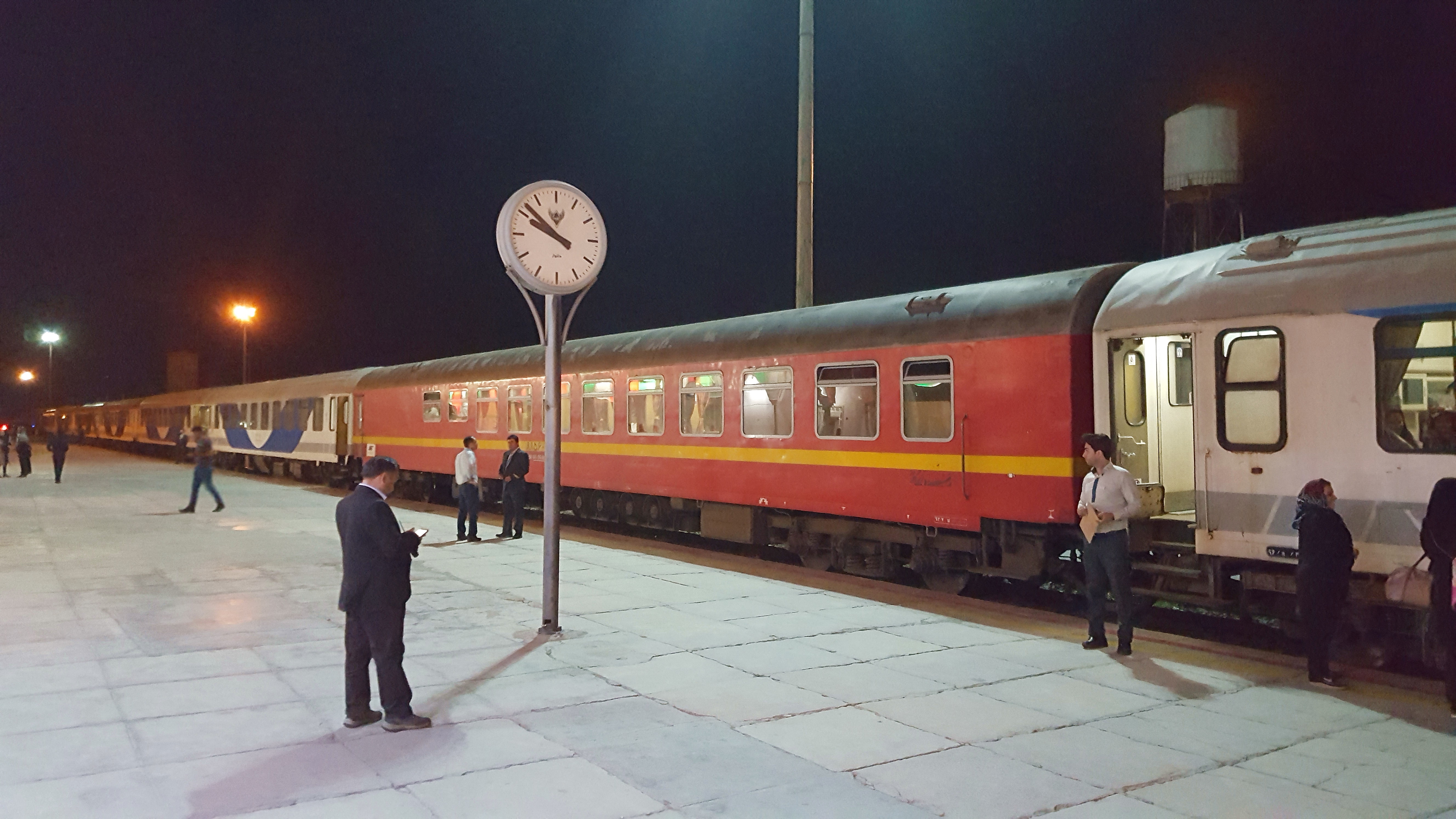
nachttrein te Doroud
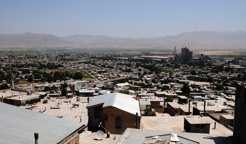
Dorud / درود (Iran) - Town and Cement Factory

de keuken - the kitchen
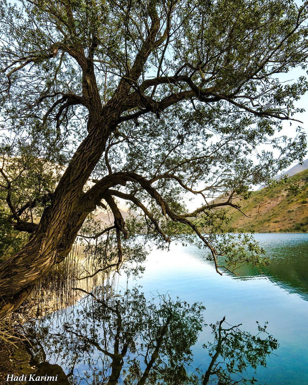
Gahar Lake, Lorestan, Iran دریاچه گهر، لرستان
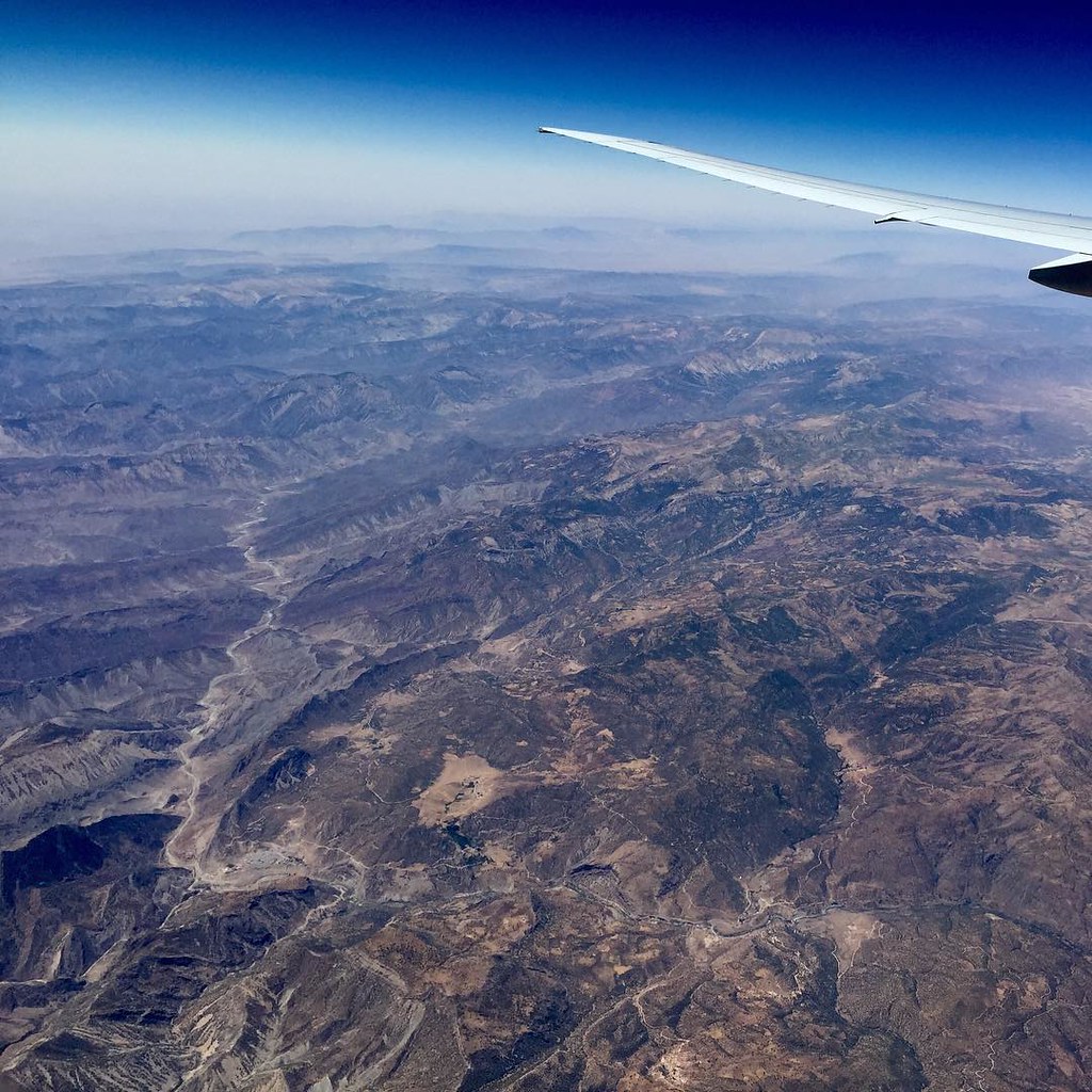
36,000ft B777. Nov 14, iPhone 6. #36000ft #Boeing #777 #Fly #Flying #Flight #VMC #CAVOK #Weather #Wings #CommercialAirliner #Airline #Airliner #QatarAirways #Iran #MiddleEast #Valleys #Landscape #Altitude #Pilot #InstaTravel #InstaPassport #InstaAviation
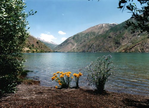
gahar lake
Topographic Map of Dow Rud, Lorestan Province, Iran
Find elevation by address:

Places near Dow Rud, Lorestan Province, Iran:
Dorud
Kūh-e Qārūn
Masur-e Abi
ماهی
Lorestan Province
Khorramabad County
Khorramabad
Andimeshk
Dezful
Recent Searches:
- Elevation of Corso Fratelli Cairoli, 35, Macerata MC, Italy
- Elevation of Tallevast Rd, Sarasota, FL, USA
- Elevation of 4th St E, Sonoma, CA, USA
- Elevation of Black Hollow Rd, Pennsdale, PA, USA
- Elevation of Oakland Ave, Williamsport, PA, USA
- Elevation of Pedrógão Grande, Portugal
- Elevation of Klee Dr, Martinsburg, WV, USA
- Elevation of Via Roma, Pieranica CR, Italy
- Elevation of Tavkvetili Mountain, Georgia
- Elevation of Hartfords Bluff Cir, Mt Pleasant, SC, USA