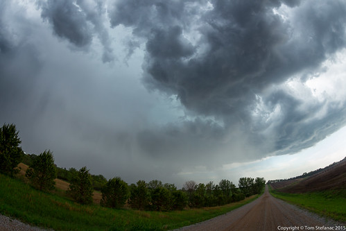
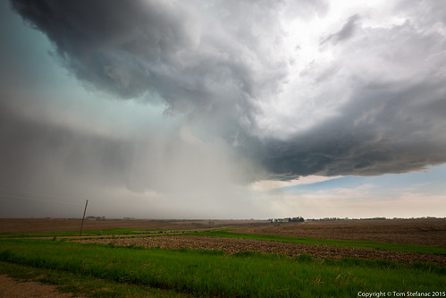
Elevation of Douglas, NE, USA
Location: United States > Nebraska > Otoe County > Hendricks >
Longitude: -96.387773
Latitude: 40.5939437
Elevation: 382m / 1253feet
Barometric Pressure: 97KPa
Related Photos:
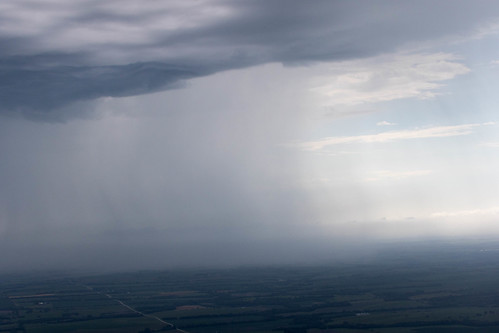
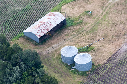
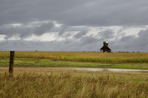
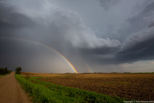
Topographic Map of Douglas, NE, USA
Find elevation by address:

Places near Douglas, NE, USA:
Hendricks
200 Jerome And Betty Warner Expy
Broadway St, Sterling, NE, USA
Adams
12601 E Gage Rd
11100 S 120th St
Stockton
29360 S Golden Pond Rd
Johnson County
Firth
10400 Yankee Hill Rd
South Pass
7500 S 91st St
9221 S 74th St
Grant
6000 S 88th St
9440 Pioneers Blvd
Tecumseh, NE, USA
Maple Grove
Otoe County
Recent Searches:
- Elevation of Corso Fratelli Cairoli, 35, Macerata MC, Italy
- Elevation of Tallevast Rd, Sarasota, FL, USA
- Elevation of 4th St E, Sonoma, CA, USA
- Elevation of Black Hollow Rd, Pennsdale, PA, USA
- Elevation of Oakland Ave, Williamsport, PA, USA
- Elevation of Pedrógão Grande, Portugal
- Elevation of Klee Dr, Martinsburg, WV, USA
- Elevation of Via Roma, Pieranica CR, Italy
- Elevation of Tavkvetili Mountain, Georgia
- Elevation of Hartfords Bluff Cir, Mt Pleasant, SC, USA

