Elevation of Double Cone, Otago, New Zealand
Location: New Zealand > Otago > Wye Creek >
Longitude: 168.808333
Latitude: -45.071666
Elevation: 2281m / 7484feet
Barometric Pressure: 77KPa
Elevation Map:
Satellite Map:
Related Photos:
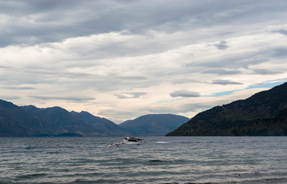
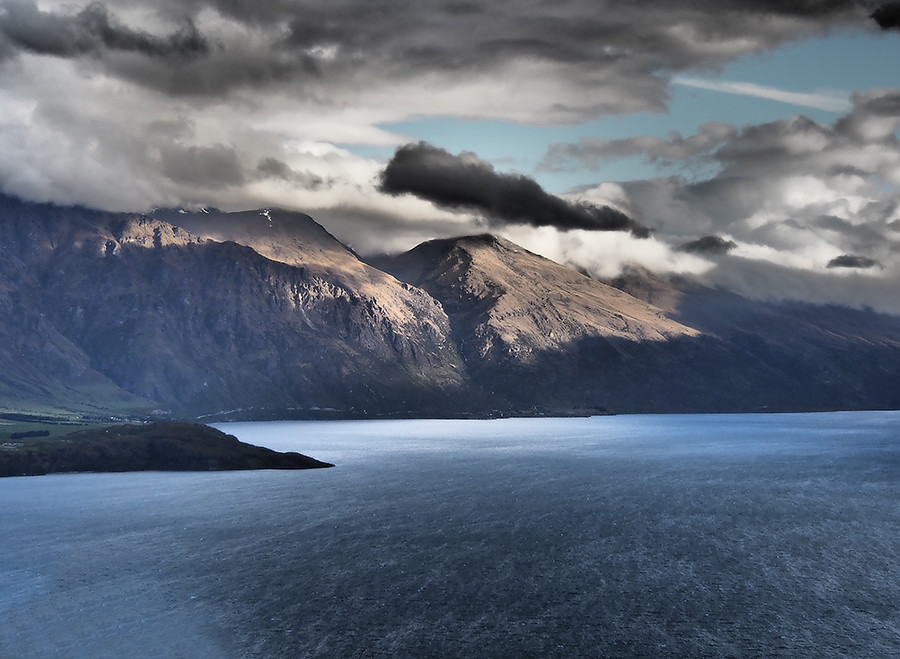
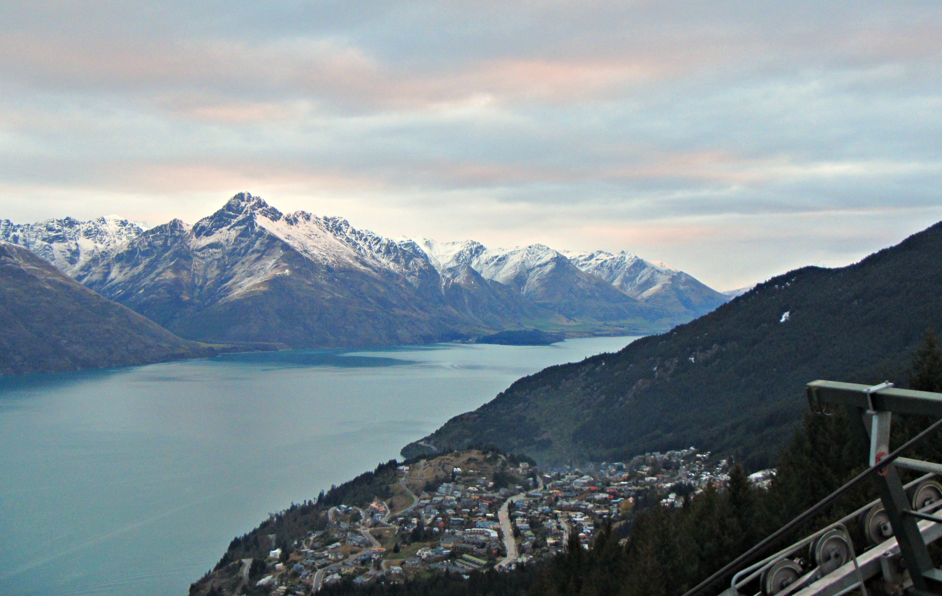
The View

Last Ray | Queenstown Gondola

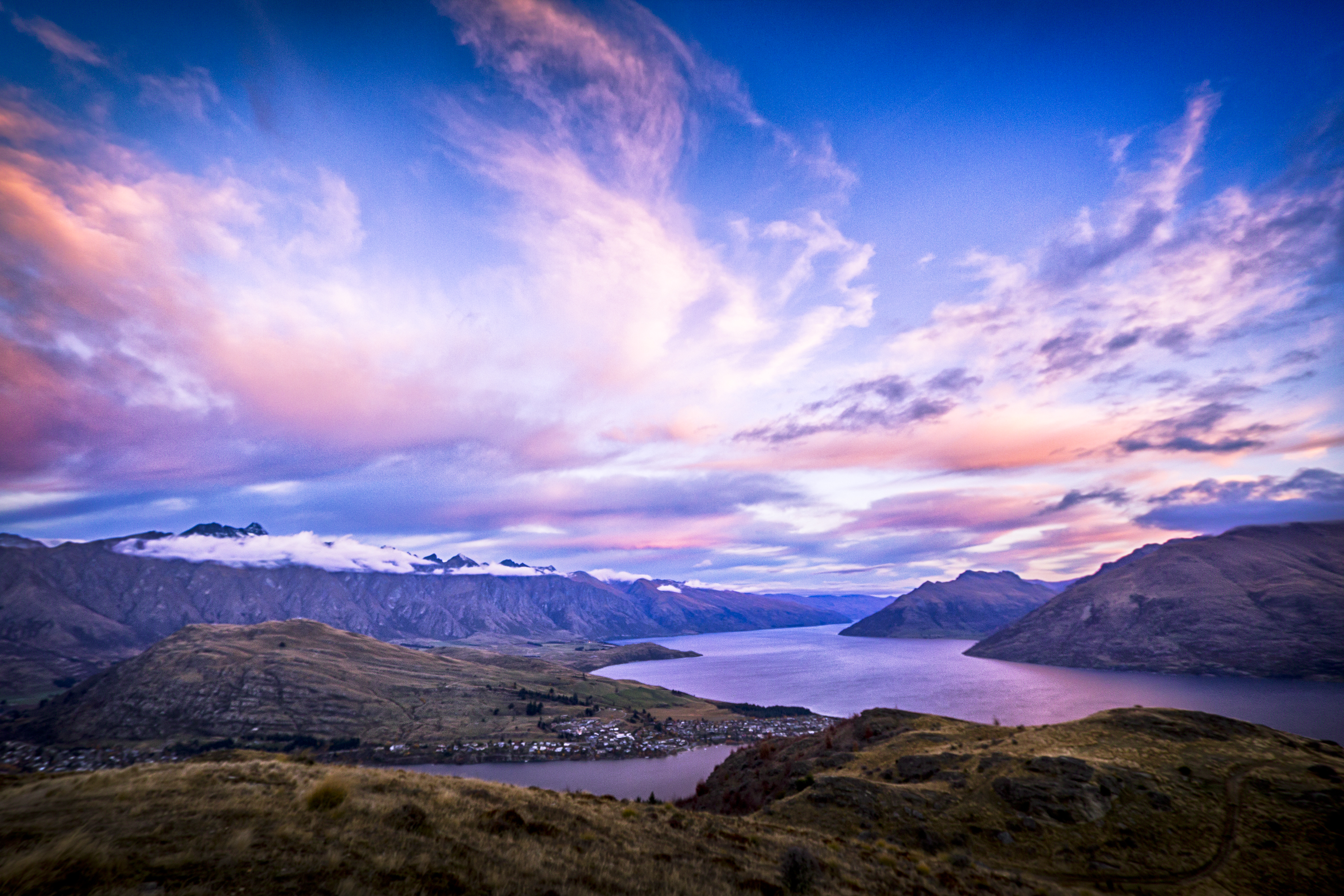
Wakatipu Sunset
Winter Queenstown.
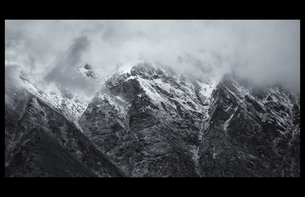
_MG_2146 Walter Peak (cropped left of frame) and Cecil Peak right of frame receding.
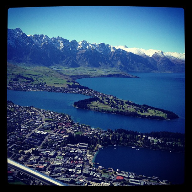
Queenstown - Bird's-Eye View

Queenstown - New Zealand

Queestown waterfront. NZ
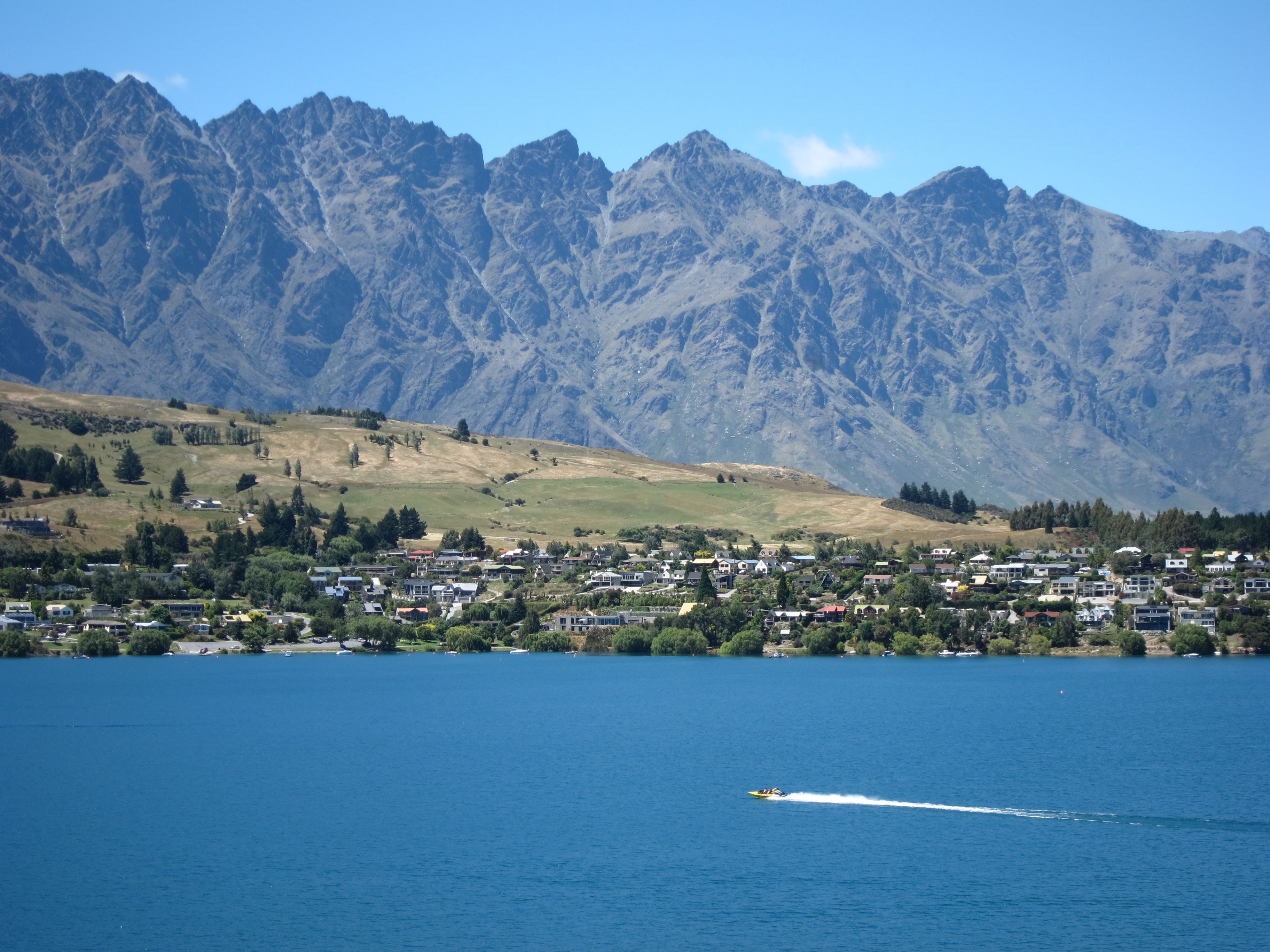
Out for a Ride
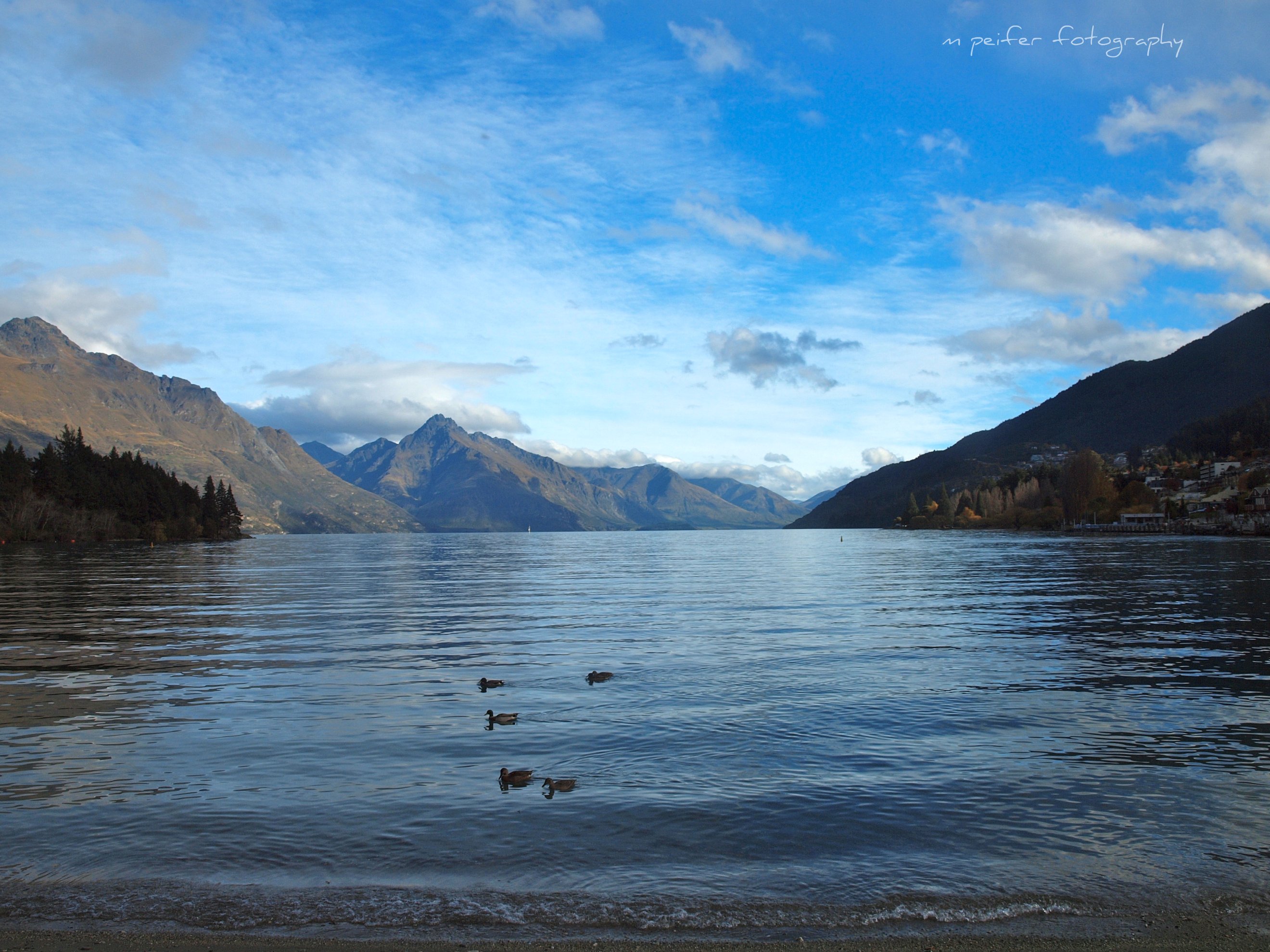
Lake View
A View from Old Lower Shotover Bridge

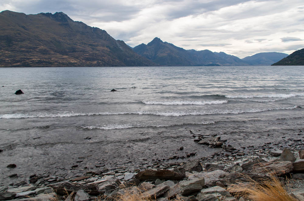
Lake Wakatipu
The view
Lake Wakatipu
Remarkable View
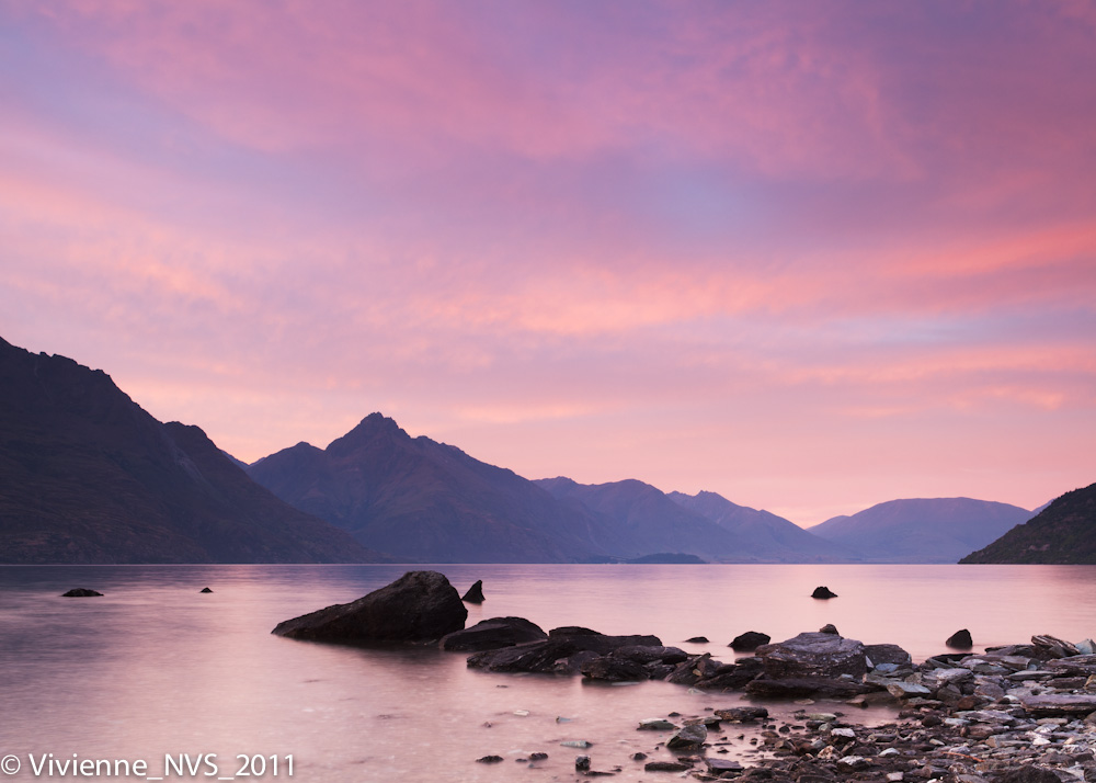
Lake Wakatipu in pink
67 Queenstown Hill Sunset
Queenstown, NZ
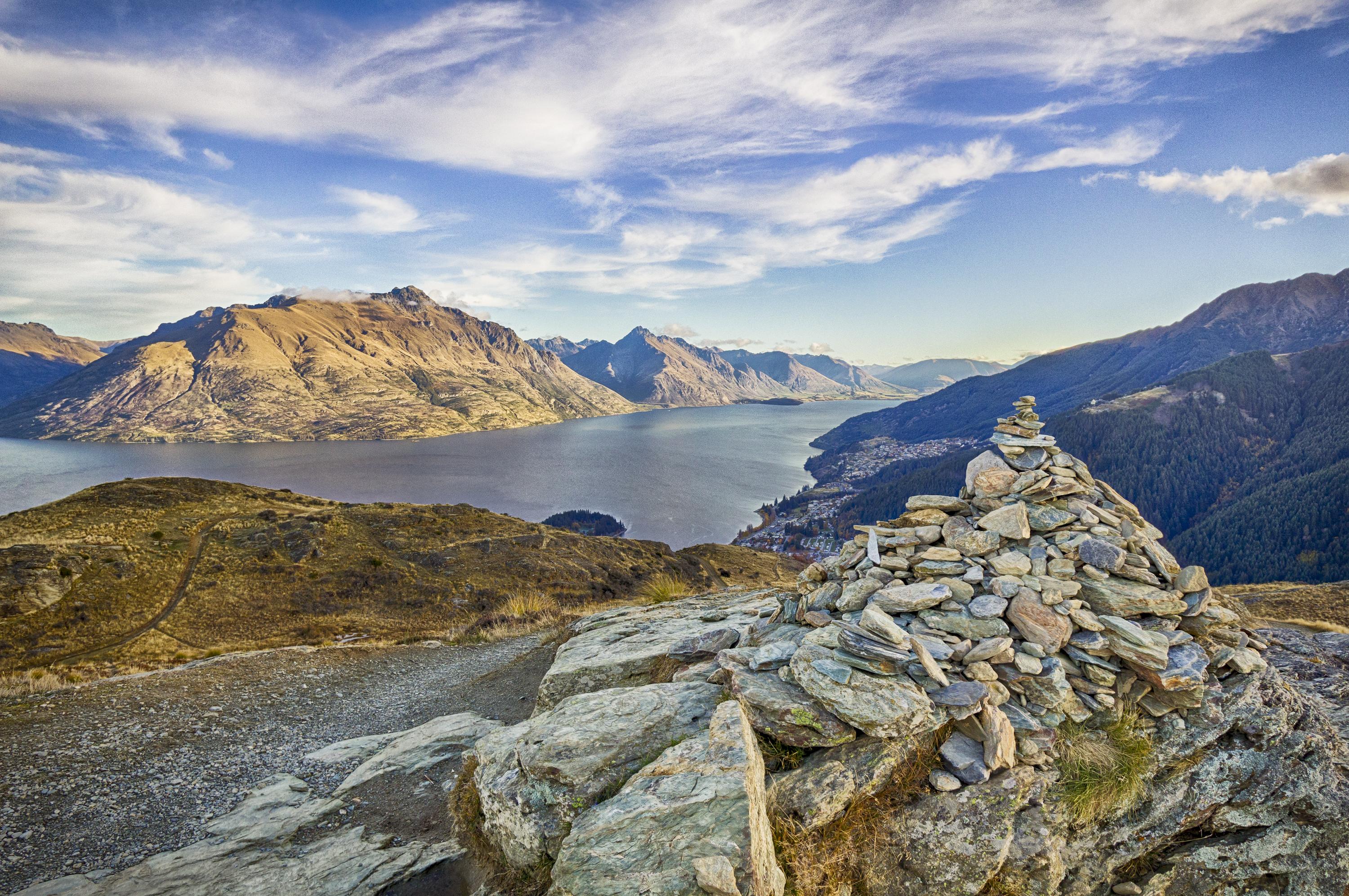
45 Queenstown Hill Rock Pile
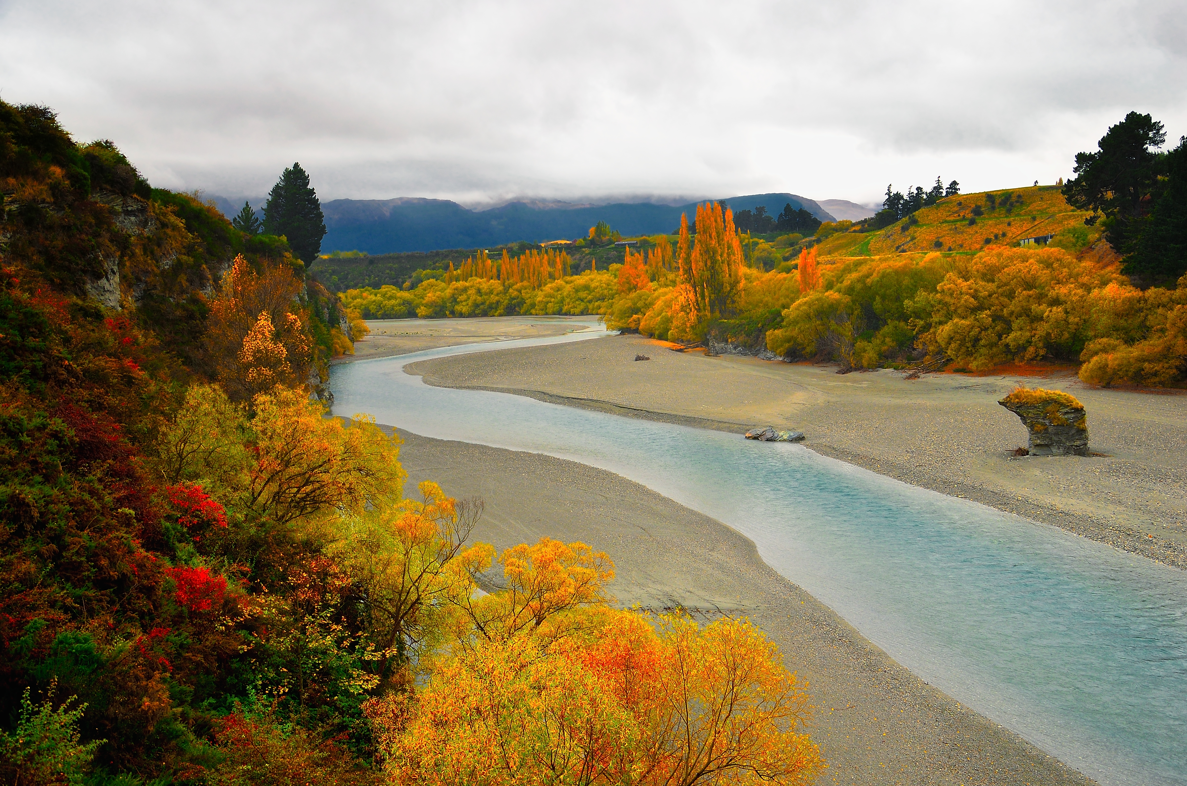
Waters Roll In
Kelvin Heigths _ view from Frankton
Topographic Map of Double Cone, Otago, New Zealand
Find elevation by address:

Places near Double Cone, Otago, New Zealand:
The Remarkables Ski Area
Jack Hanley Drive
Jacks Point
Bannister Street
Bannister Street
Kawarau Falls
1 Huxley Place
Lake Hayes Estate
Lake Hayes
Wye Creek
Lower Wye Creek Walking Track
Cromwell
Old Man Range
Clyde
51 Shields St
51 Shields St
51 Shields St
Waikerikeri Valley Road
Waikerikeri Valley Road
100 Symes Rd
Recent Searches:
- Elevation of Corso Fratelli Cairoli, 35, Macerata MC, Italy
- Elevation of Tallevast Rd, Sarasota, FL, USA
- Elevation of 4th St E, Sonoma, CA, USA
- Elevation of Black Hollow Rd, Pennsdale, PA, USA
- Elevation of Oakland Ave, Williamsport, PA, USA
- Elevation of Pedrógão Grande, Portugal
- Elevation of Klee Dr, Martinsburg, WV, USA
- Elevation of Via Roma, Pieranica CR, Italy
- Elevation of Tavkvetili Mountain, Georgia
- Elevation of Hartfords Bluff Cir, Mt Pleasant, SC, USA