Elevation of Dorfstraße 27, Käthen, Germany
Location: Germany > Saxony-anhalt > Käthen >
Longitude: 11.66081
Latitude: 52.5743
Elevation: 49m / 161feet
Barometric Pressure: 101KPa
Elevation Map:
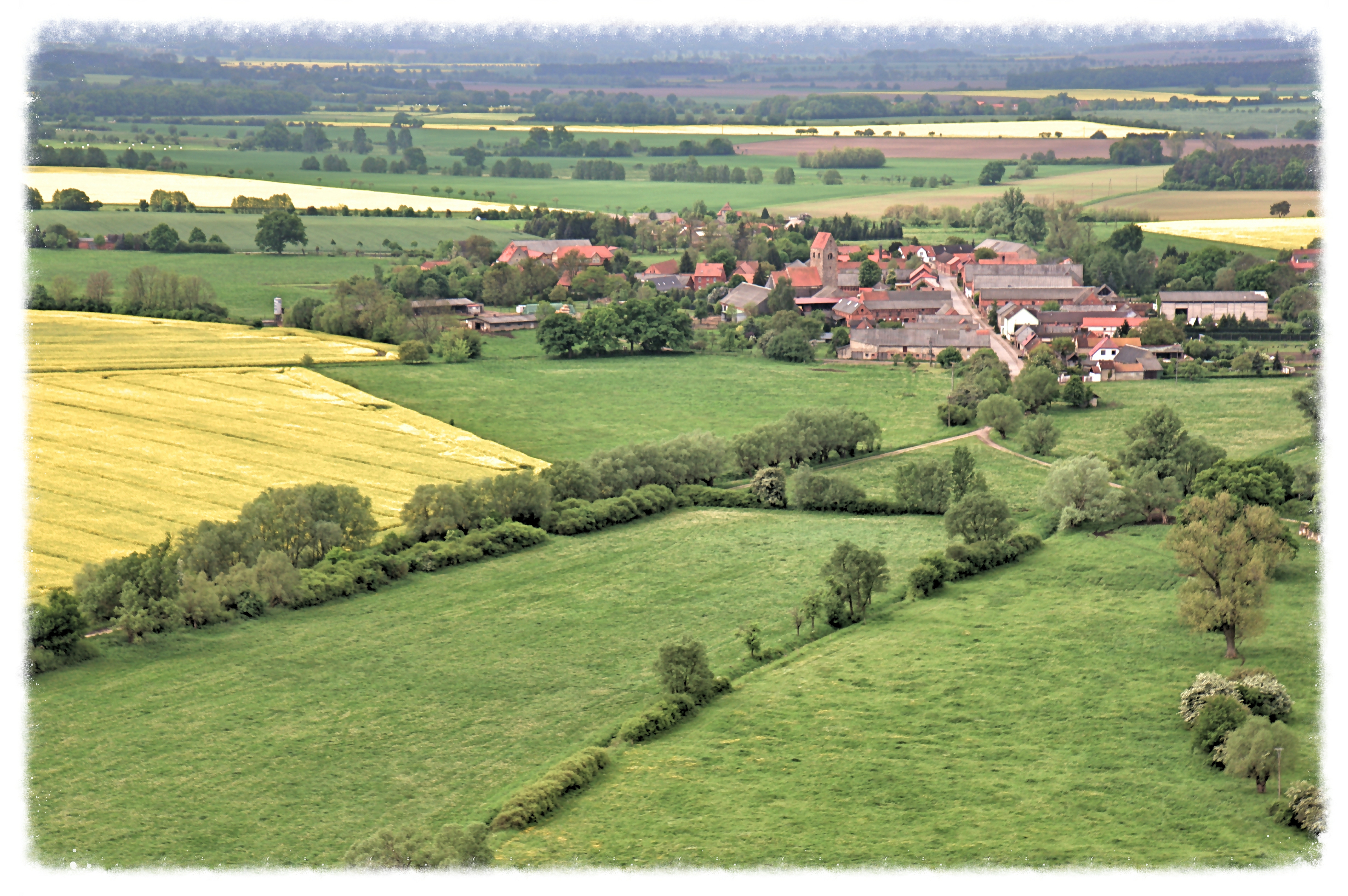
Satellite Map:
Related Photos:

Noch mehr Strohballen
Grassau bei Stendal

Pferdekoppel, Sachsen Anhalt

Strohballen bei Sonnenuntergang

Grassau bei Stendal

Sonnenuntergang bei Bismark

Dunst über den Nachbargärten

Blick durch den Garten

Beim RAW-Ost in Stendal

Kanal 2

Scherenschnitt / silhouette
Topographic Map of Dorfstraße 27, Käthen, Germany
Find elevation by address:

Places near Dorfstraße 27, Käthen, Germany:
Käthen
Kläden
2a
Möringen
Gartenstraße 35, Stendal, Germany
Grassau
Dorfstraße 16, Grassau, Germany
Dorfstraße 29, Rochau, Germany
Schartau
Dorfstraße 14, Schorstedt, Germany
Schorstedt
Dobberkau
Unterstraße 8, Dobberkau, Germany
Grävenitz
Rochau
Stendal
Weidengang 65
19b
1a
Eichstedt
Recent Searches:
- Elevation of Corso Fratelli Cairoli, 35, Macerata MC, Italy
- Elevation of Tallevast Rd, Sarasota, FL, USA
- Elevation of 4th St E, Sonoma, CA, USA
- Elevation of Black Hollow Rd, Pennsdale, PA, USA
- Elevation of Oakland Ave, Williamsport, PA, USA
- Elevation of Pedrógão Grande, Portugal
- Elevation of Klee Dr, Martinsburg, WV, USA
- Elevation of Via Roma, Pieranica CR, Italy
- Elevation of Tavkvetili Mountain, Georgia
- Elevation of Hartfords Bluff Cir, Mt Pleasant, SC, USA