Elevation of Dorfstraße 24, Strübbel, Germany
Location: Germany > Schleswig-holstein > Strübbel >
Longitude: 8.97074
Latitude: 54.26117
Elevation: 0m / 0feet
Barometric Pressure: 101KPa
Elevation Map:
Satellite Map:
Related Photos:

of own view
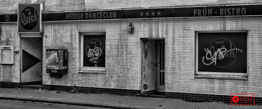
THE DODGY DANCECLUB
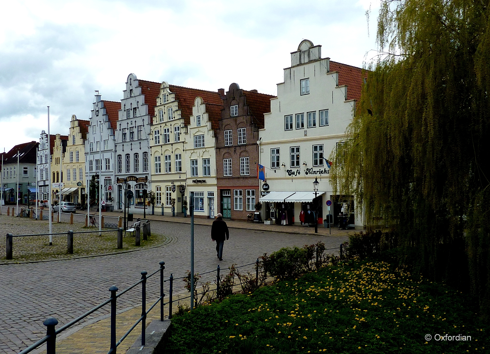
Friedrichstadt - Am Markt
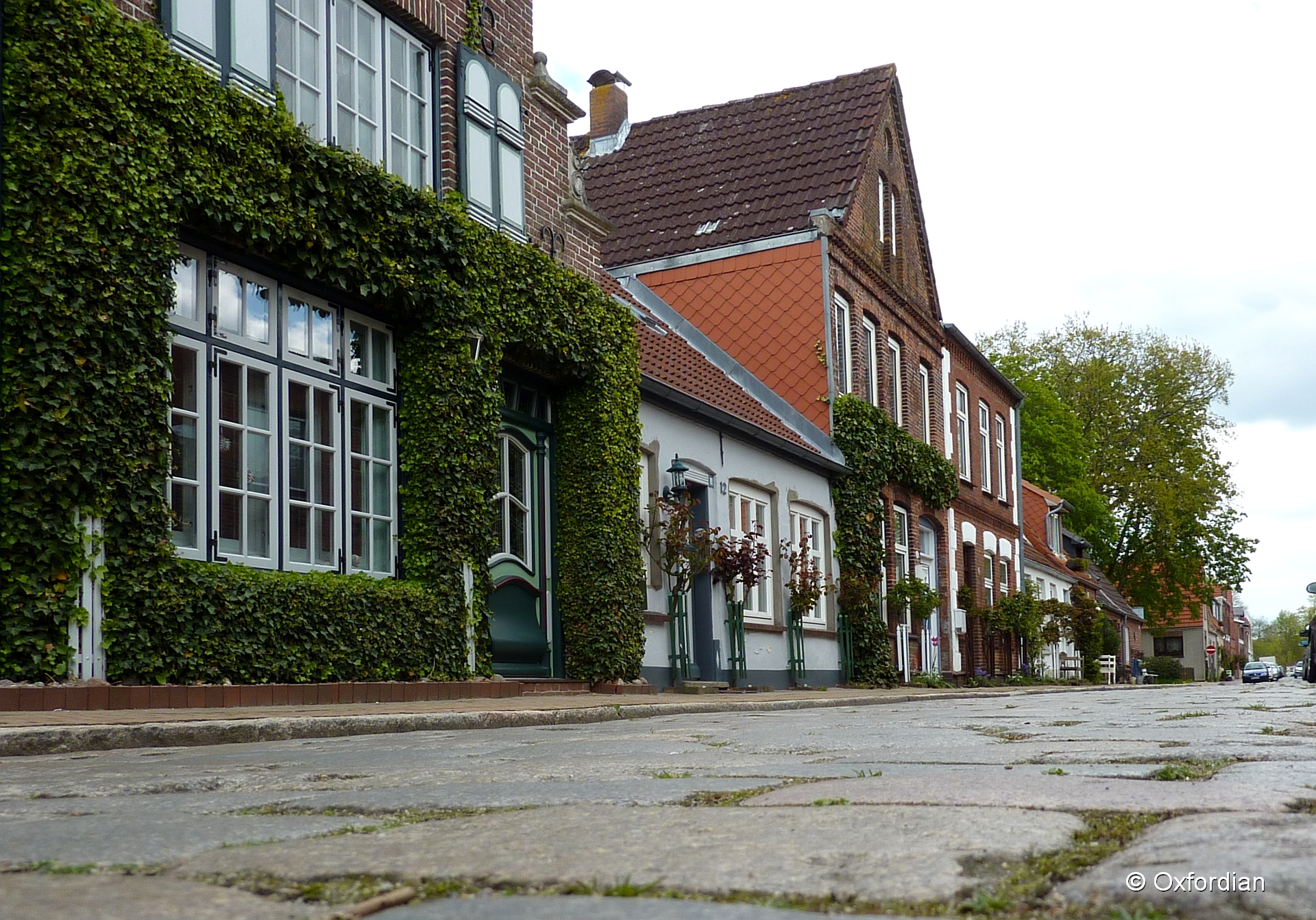
Friedrichstadt - cobblestoned street
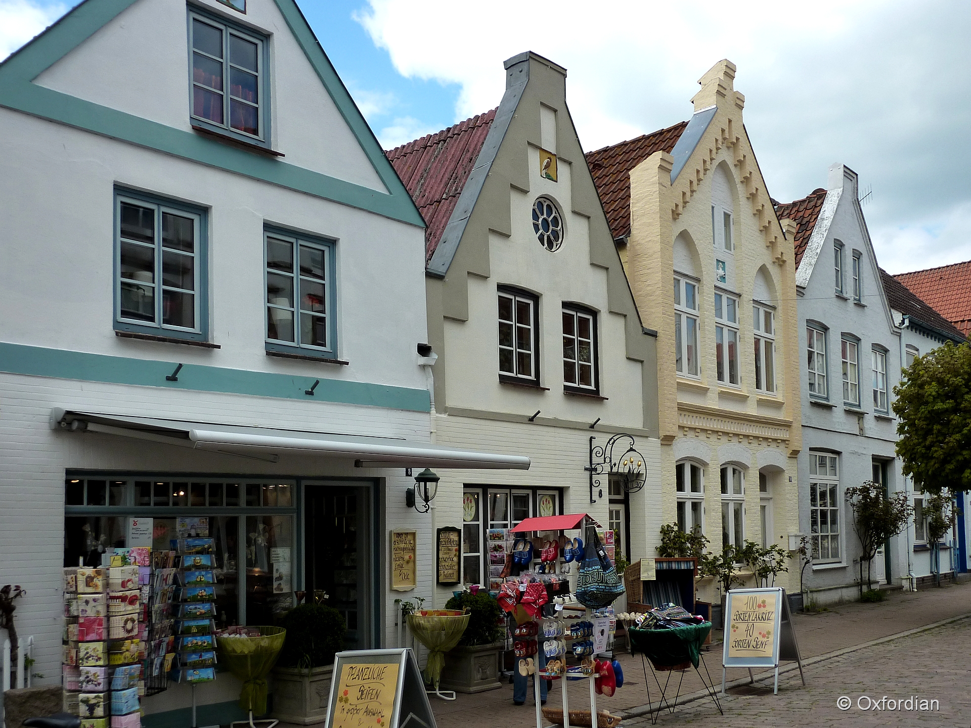
Friedrichstadt - Holländisches Flair
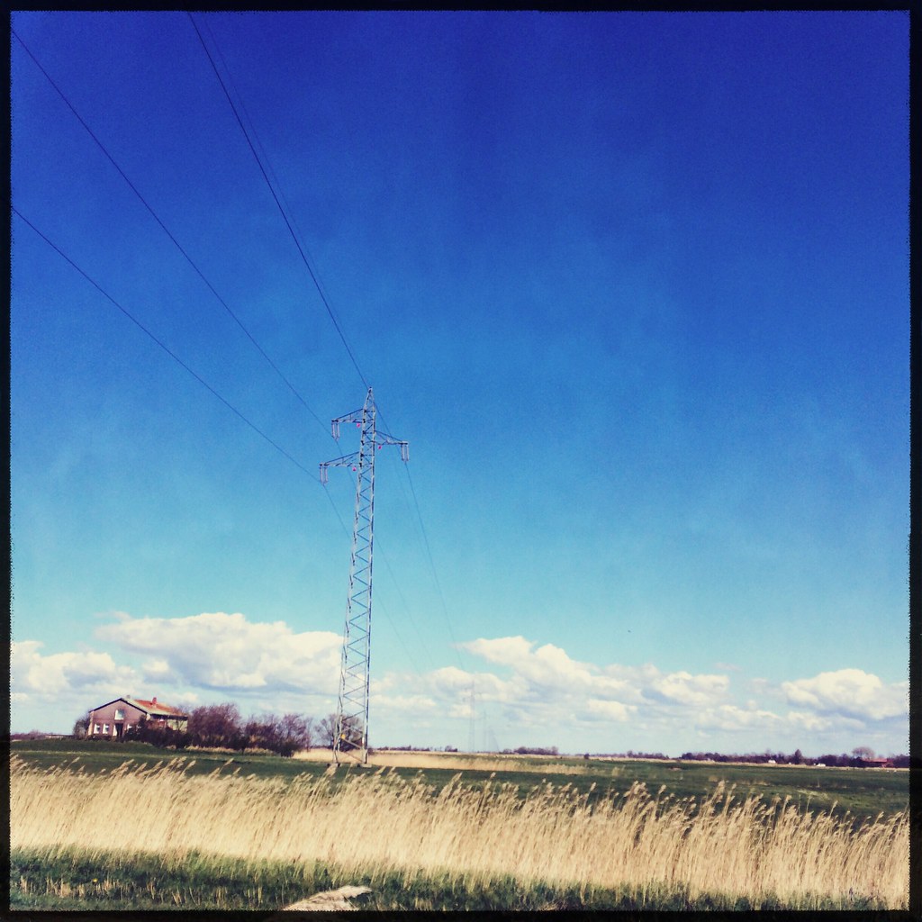
energiewände
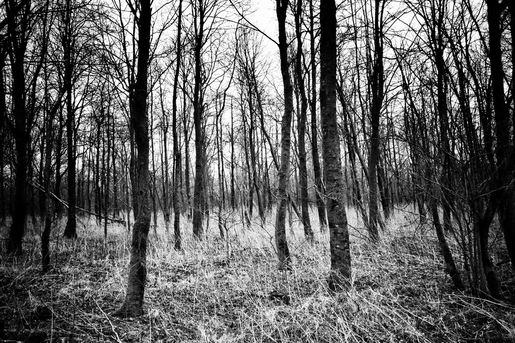
can not see the forest for all those trees

Tönning

Greylag goose
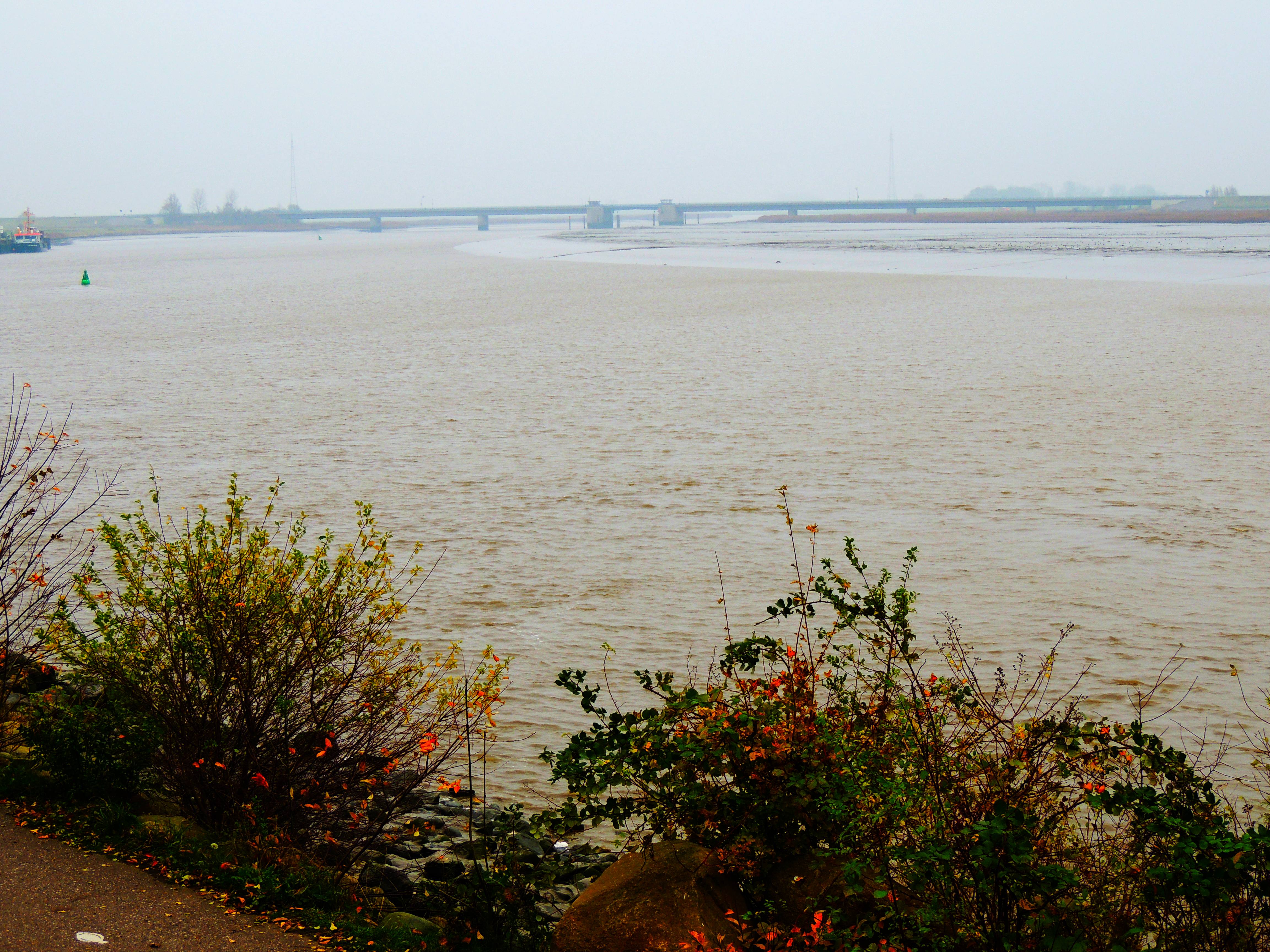
die Eider bei Tönning und Brücke der B5
deer crossing
Gites de Eiderstaedt

Broken lights III
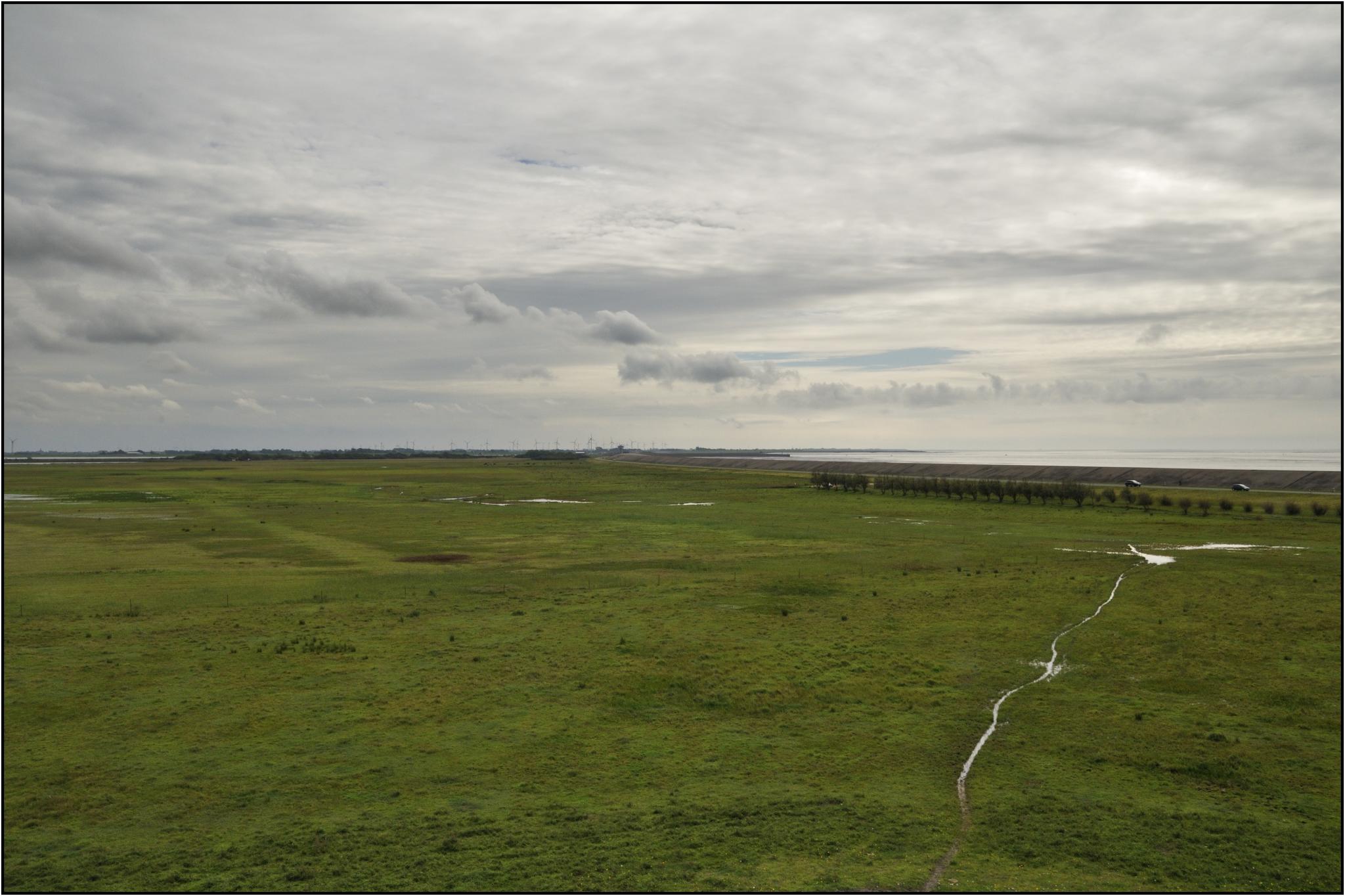
Am Deich

Foto-18

DE_Büsum_c_14228-1 copy

Büsum

Büsum

Büsum

2001-08-15_Buesum_11a

Nach einem Gewitter
Getting To Work

Sonnenaufgang am Eidersperrwerk

2001-08-16_Buesum_20a

Windräder
Topographic Map of Dorfstraße 24, Strübbel, Germany
Find elevation by address:

Places near Dorfstraße 24, Strübbel, Germany:
Strübbel
Schülperneuensiel 7, Schülp, Germany
Schülp
Wöhrden
Lehe
Wildpfal
69b
Eichelhäherweg 9, Wesseln, Germany
Lohe-rickelshof
Wesseln
Lohe-rickelshof
6a
Dammsfeld 1, Lehe, Germany
127a
Esmarchstraße 50
58a
Sankt Annen
Hauptstraße 8, Wiemerstedt, Germany
Wiemerstedt
Heide
Recent Searches:
- Elevation of Corso Fratelli Cairoli, 35, Macerata MC, Italy
- Elevation of Tallevast Rd, Sarasota, FL, USA
- Elevation of 4th St E, Sonoma, CA, USA
- Elevation of Black Hollow Rd, Pennsdale, PA, USA
- Elevation of Oakland Ave, Williamsport, PA, USA
- Elevation of Pedrógão Grande, Portugal
- Elevation of Klee Dr, Martinsburg, WV, USA
- Elevation of Via Roma, Pieranica CR, Italy
- Elevation of Tavkvetili Mountain, Georgia
- Elevation of Hartfords Bluff Cir, Mt Pleasant, SC, USA