Elevation of Dordabis, Namibia
Location: Namibia > Khomas Region >
Longitude: 17.6614872
Latitude: -22.948215
Elevation: 1498m / 4915feet
Barometric Pressure: 85KPa
Elevation Map:
Satellite Map:
Related Photos:
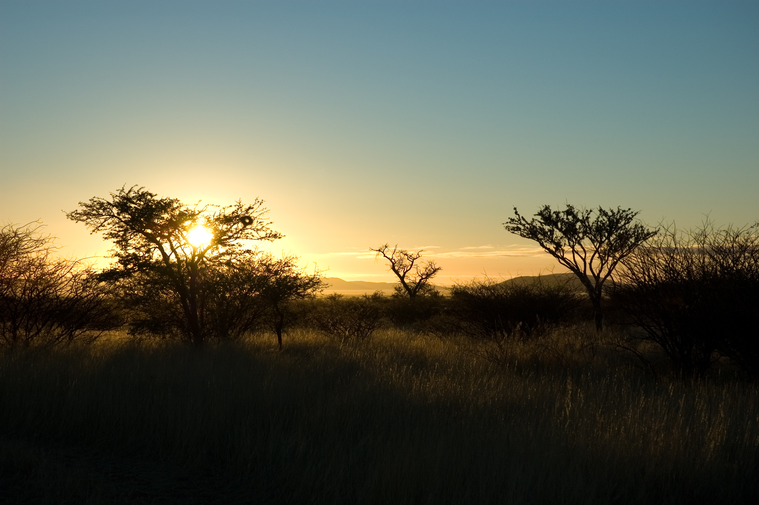
Autabib sunrise

20100804_1034-DS3_0942

20100804_1034-DS3_0941

20100804_1028-DS3_0939

20100804_1027-DS3_0937

20100804_1027-DS3_0936

20100804_1026-DS3_0935

20100804_1006-DS3_0934

20100804_1006-DS3_0933

20100804_1005-DS3_0932

cheetah 3

cheetah 2

cheetah tug-of-war 2

cheetah 4
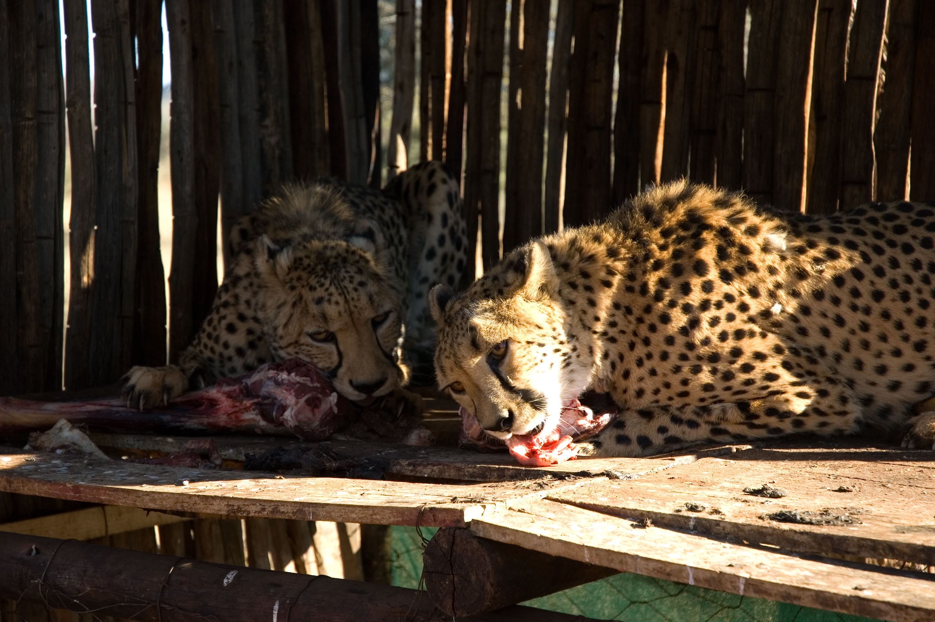
cheetahs eating
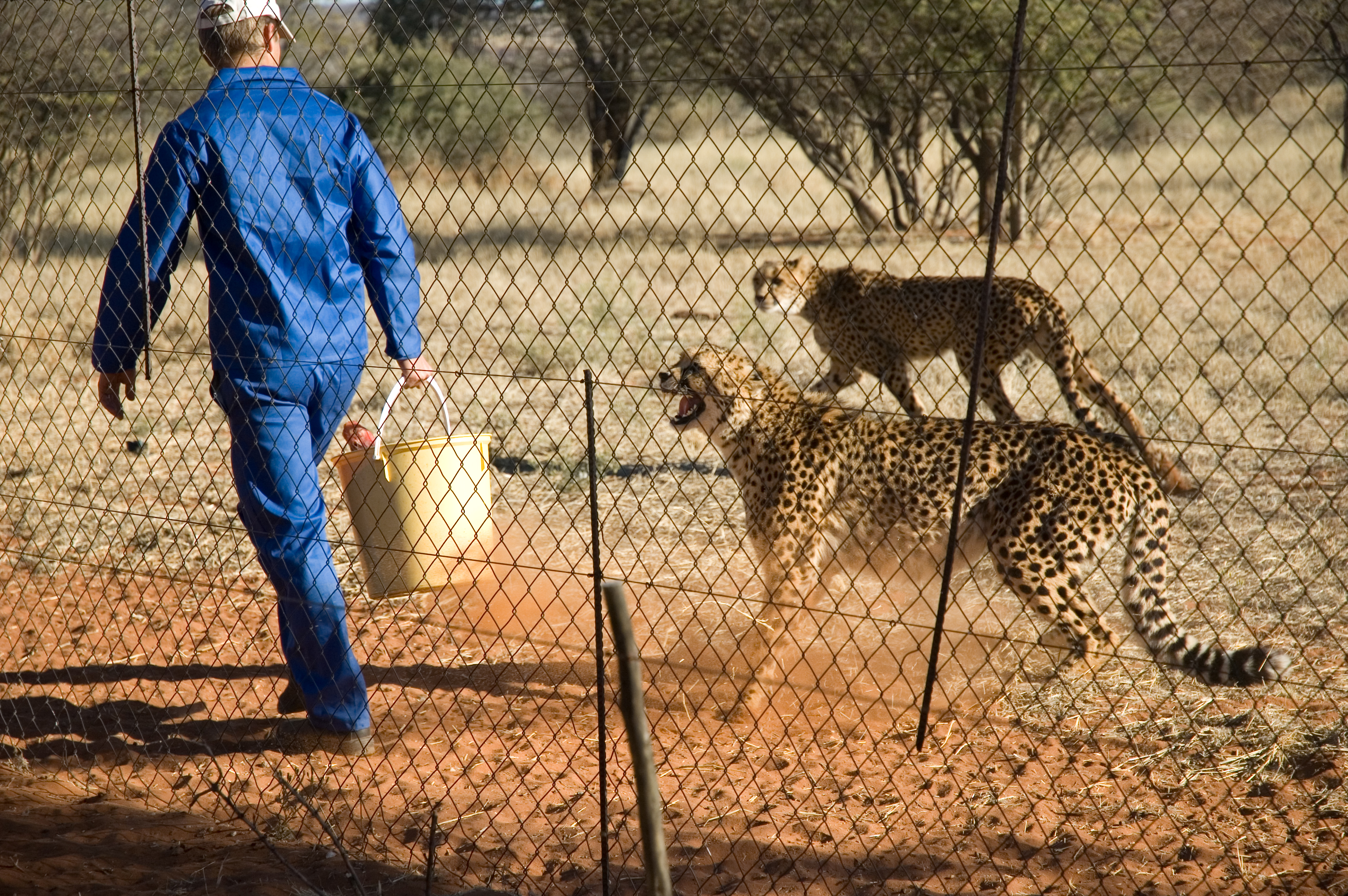
Feeding time
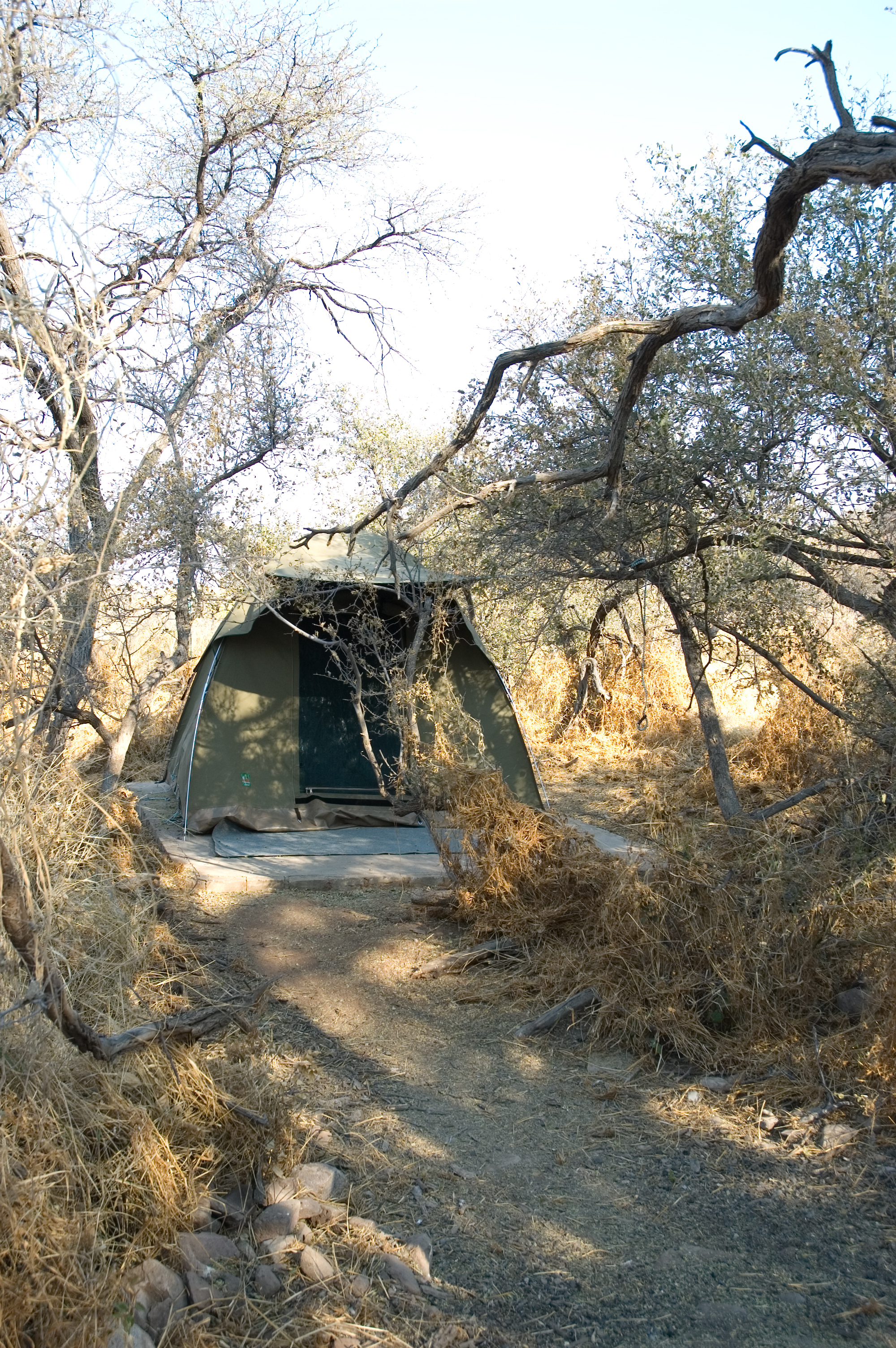
Our first tent at Autabib Farm
Topographic Map of Dordabis, Namibia
Find elevation by address:

Places near Dordabis, Namibia:
Police Station (dordabis)
Bergland
Bobo Campers Namibia
Khomas Region
Windhoek Mountain Lodge
Windhoek
Katutura Hospital
Khomasdal
Pack Safari
Krisante Street
Lafrenz Industrial
Tsumis
Recent Searches:
- Elevation of Corso Fratelli Cairoli, 35, Macerata MC, Italy
- Elevation of Tallevast Rd, Sarasota, FL, USA
- Elevation of 4th St E, Sonoma, CA, USA
- Elevation of Black Hollow Rd, Pennsdale, PA, USA
- Elevation of Oakland Ave, Williamsport, PA, USA
- Elevation of Pedrógão Grande, Portugal
- Elevation of Klee Dr, Martinsburg, WV, USA
- Elevation of Via Roma, Pieranica CR, Italy
- Elevation of Tavkvetili Mountain, Georgia
- Elevation of Hartfords Bluff Cir, Mt Pleasant, SC, USA