Elevation of Donnaha, Old Richmond, NC, USA
Location: United States > North Carolina > Forsyth County > Old Richmond > Tobaccoville >
Longitude: -80.432833
Latitude: 36.2276389
Elevation: 231m / 758feet
Barometric Pressure: 99KPa
Elevation Map:
Satellite Map:
Related Photos:
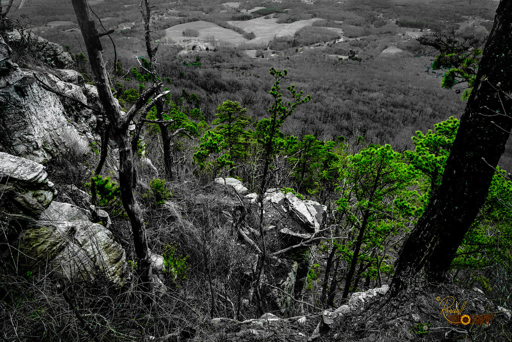
The Green Drama
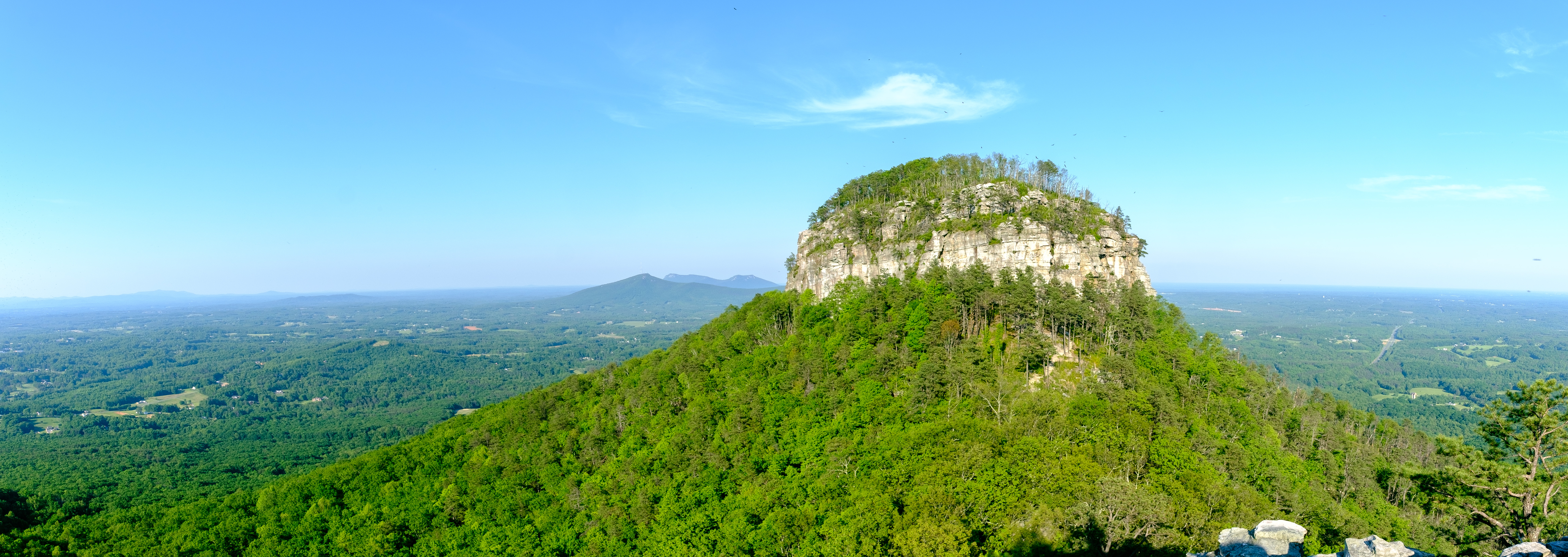
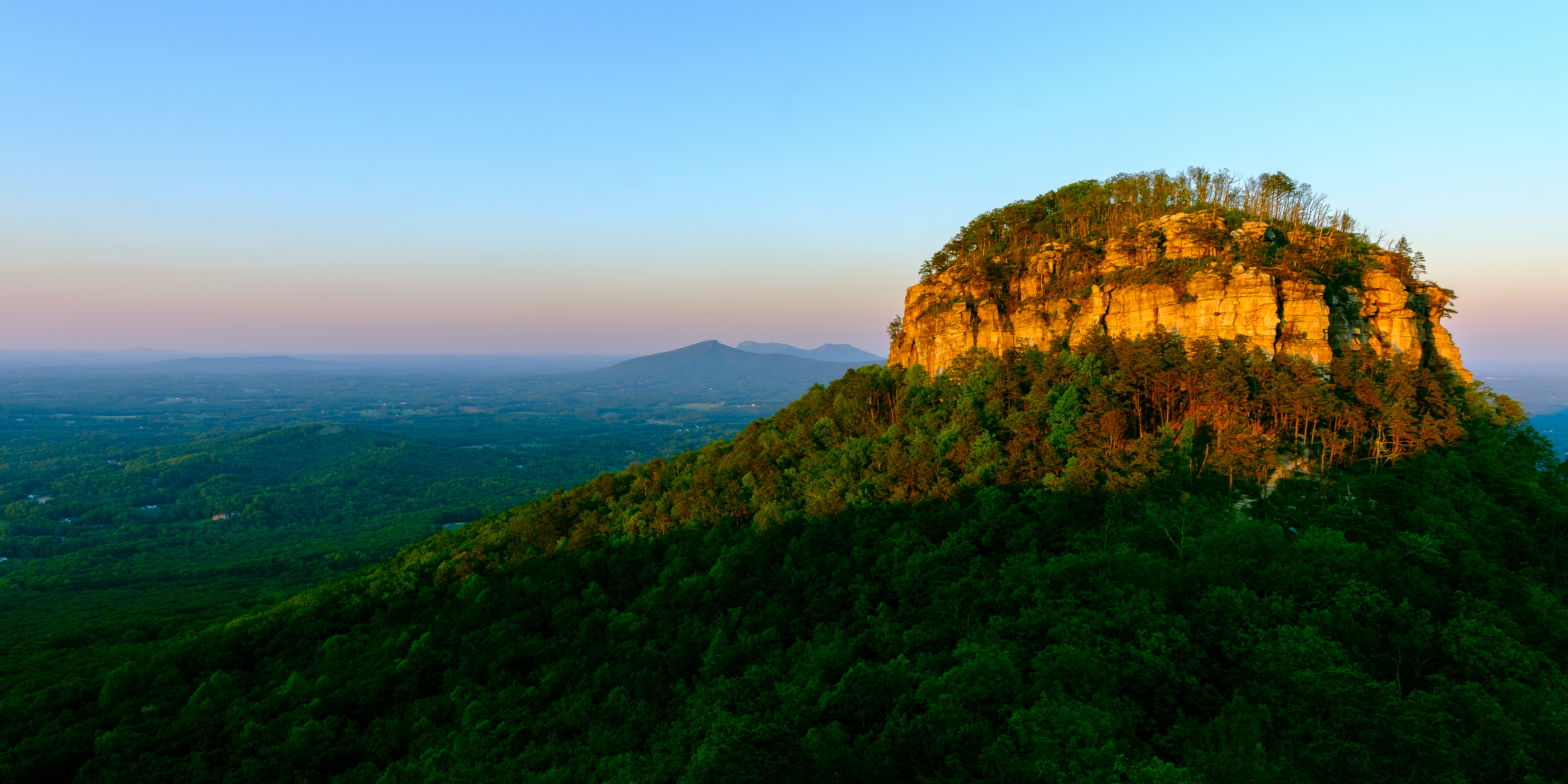
Pilot Mountain Panorama

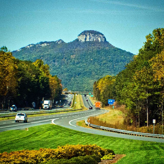
Pilot Mountain in North Carolina
Out on #bikeride ... #biketherapy #cycletherapy ... Looking east into #dtws #wsnc off of Vienna-Dozier road ...
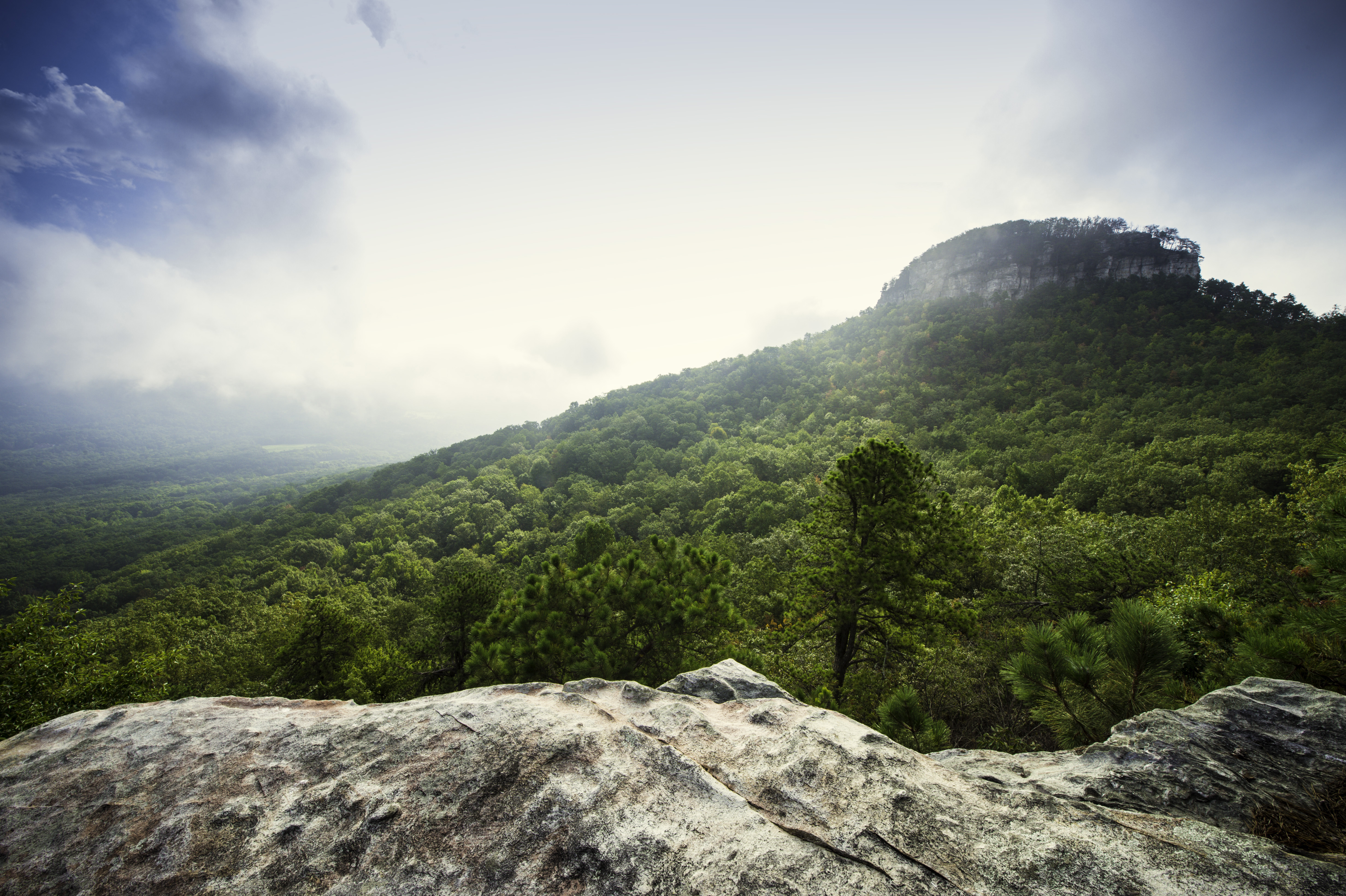
Fog Lifting off of Pilot Mountain

Appalachian layers

NC Yadkin bridge trestles cascading to infinity

A small Marina at Nassau in the Bahamas. #marina #boat #landscape #water #reflection #nassau #bahamas #downhomephoto
#landscape #pilotmountain #northcarolina #mountain #scenic #visitnc #downhomephoto

Believe it or not, this is Main Street in the big city of East Bend, NC. #eastbend #northcarolina #city #downtown #landscape #ycnc #yadkincounty #downhomephoto
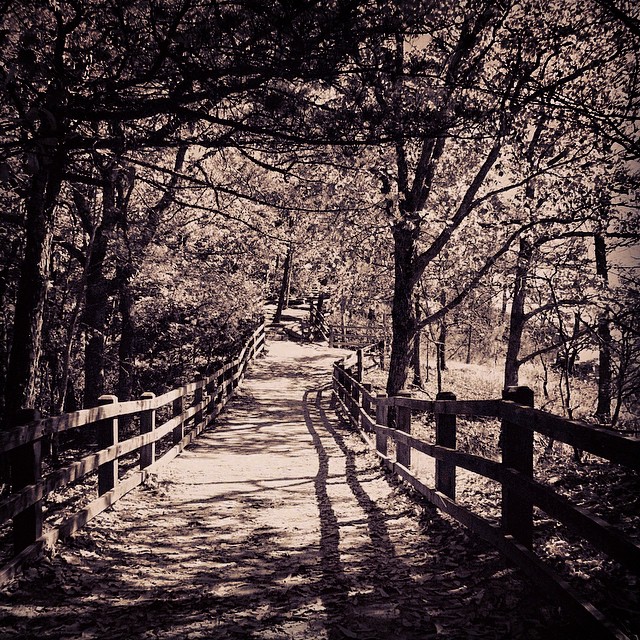
The trail leading to the Little Pinnacle at Stone Mountain. #landscape #pilotmountain #northcarolina #mountain #bnw #blackandwhite #downhomephoto
Pilot Mountain at Dusk
In the distance Saura Town Mtn ... #clouds #bikewsnc
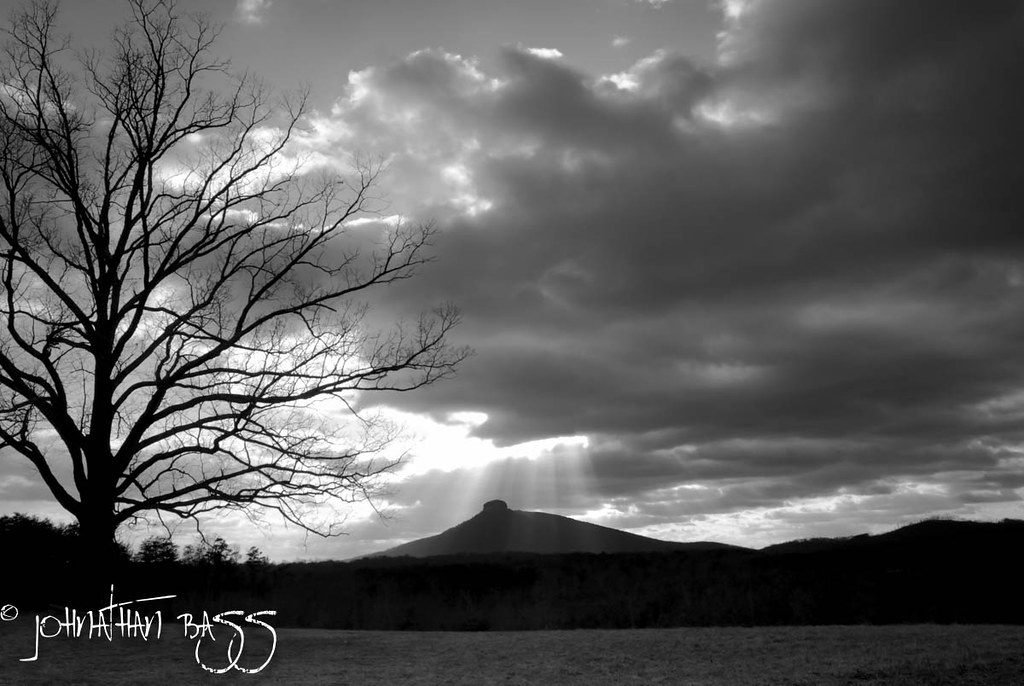
Pilot Mountain Sunrays

On our way to Pilot Mountain State Park! #landscape #pilotmountain #northcarolina #naturelovers #mountain #scenic #downhomephoto
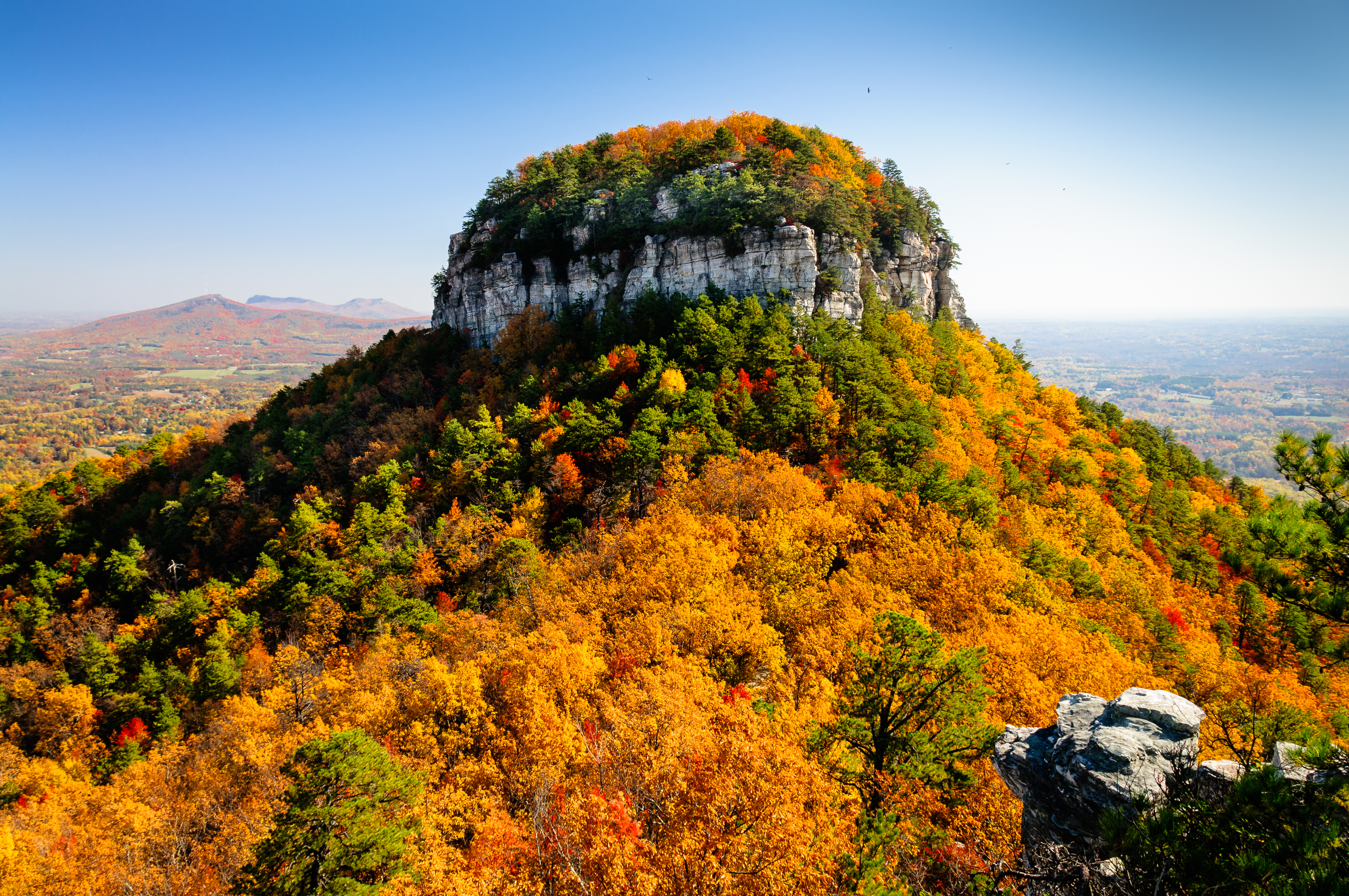
Pilot Mountain In The Fall
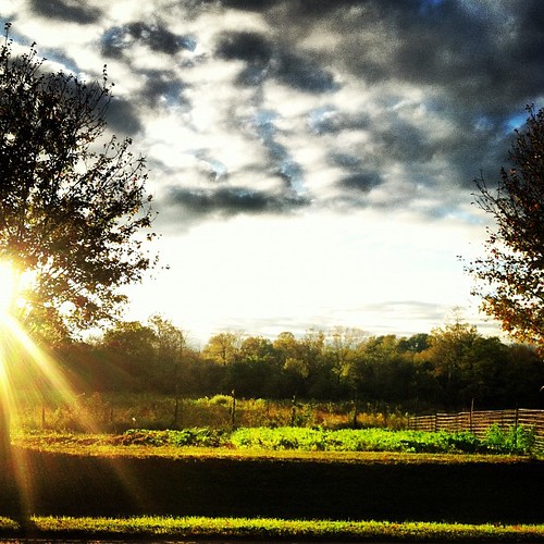
Sunset bike ride ... #bikeride #sunset #clouds
Out for a bike ride ... #sunshine #surly #bike

The pinnacle on Pilot Mountain. #landscape #pilotmountain #northcarolina #visitnc #fall #color #downhomephoto

View of Saura Town Mtn Day 6 of #30daysofbiking #surly
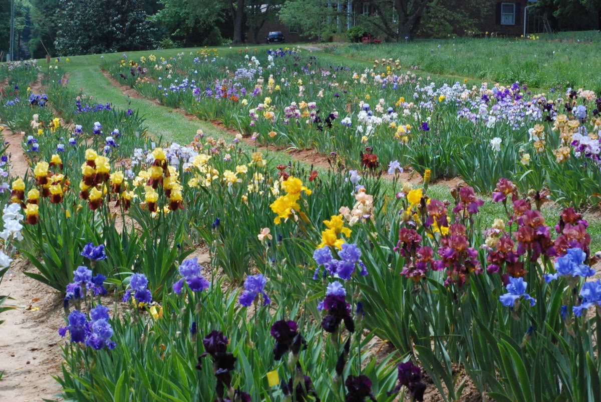
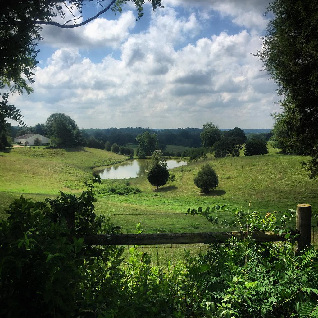
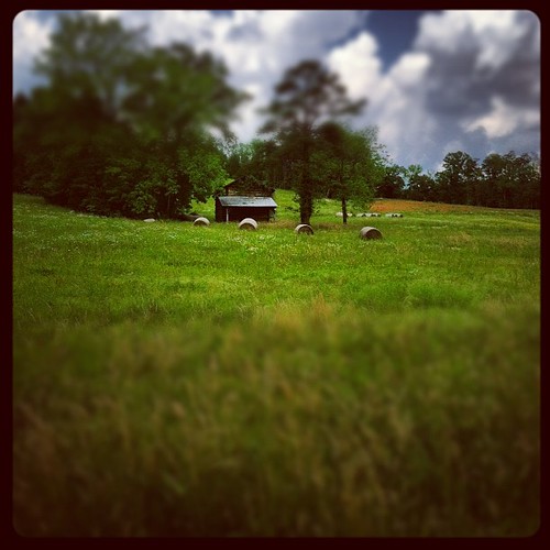
The Iris Farm
Topographic Map of Donnaha, Old Richmond, NC, USA
Find elevation by address:

Places near Donnaha, Old Richmond, NC, USA:
Old Richmond
120 Norwood Forest Ln
4201 Apperson Rd #4301
133 Lynne Ave
Tobaccoville Rd, Tobaccoville, NC, USA
Tobaccoville
125 Cobblestone Ln
1207 Grassy Creek Rd
2 Turtle Ln, East Bend, NC, USA
1045 W Old Phillips Rd
Shoals
165 King Arthur Dr
9584 Creek Farm Rd
W Dalton Rd, King, NC, USA
King
464 Caudle Rd
Pinnacle
134 Culler Rd
Glen Oaks Drive
177 Old Pinnacle Hotel Rd
Recent Searches:
- Elevation of Corso Fratelli Cairoli, 35, Macerata MC, Italy
- Elevation of Tallevast Rd, Sarasota, FL, USA
- Elevation of 4th St E, Sonoma, CA, USA
- Elevation of Black Hollow Rd, Pennsdale, PA, USA
- Elevation of Oakland Ave, Williamsport, PA, USA
- Elevation of Pedrógão Grande, Portugal
- Elevation of Klee Dr, Martinsburg, WV, USA
- Elevation of Via Roma, Pieranica CR, Italy
- Elevation of Tavkvetili Mountain, Georgia
- Elevation of Hartfords Bluff Cir, Mt Pleasant, SC, USA