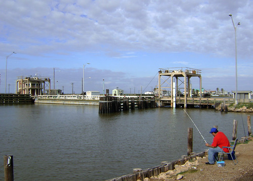
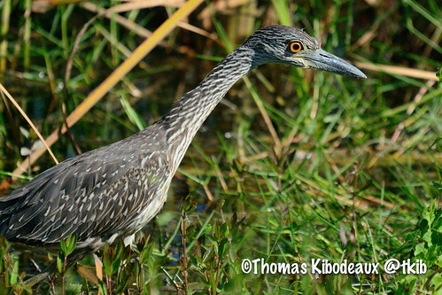
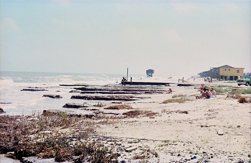
Elevation of Dolphin Way Road, Dolphin Way Rd, Bay City, TX, USA
Location: United States > Texas > Matagorda County > Bay City >
Longitude: -95.637204
Latitude: 28.7660099
Elevation: 1m / 3feet
Barometric Pressure: 101KPa
Related Photos:
Topographic Map of Dolphin Way Road, Dolphin Way Rd, Bay City, TX, USA
Find elevation by address:

Places near Dolphin Way Road, Dolphin Way Rd, Bay City, TX, USA:
3630 County Rd 201
956 Gulfview Rd
1954 Carancahua St
1954 County Rd 201
2006 County Rd 201
151 Seagull Rd
Pompano Street
6182 Southshore St
253 Neptune
253 Neptune
253 Neptune
Albacore Street
Seagull Road
Seagull Road
Seagull Road
996 Neptune
Marlin Drive
544 Marlin St
2640 Heron St
116 Heron St
Recent Searches:
- Elevation of Corso Fratelli Cairoli, 35, Macerata MC, Italy
- Elevation of Tallevast Rd, Sarasota, FL, USA
- Elevation of 4th St E, Sonoma, CA, USA
- Elevation of Black Hollow Rd, Pennsdale, PA, USA
- Elevation of Oakland Ave, Williamsport, PA, USA
- Elevation of Pedrógão Grande, Portugal
- Elevation of Klee Dr, Martinsburg, WV, USA
- Elevation of Via Roma, Pieranica CR, Italy
- Elevation of Tavkvetili Mountain, Georgia
- Elevation of Hartfords Bluff Cir, Mt Pleasant, SC, USA
