Elevation of Doghobble Rd, Lake Toxaway, NC, USA

Location: United States > North Carolina > Transylvania County > Hogback > Lake Toxaway >

Longitude: -82.887677

Latitude: 35.1567946

Elevation: 933m / 3061feet

Barometric Pressure: 91KPa

Elevation Map:

elevation map of Doghobble Rd, Lake Toxaway, NC, USA

Satellite Map:

Satellite map of Doghobble Rd, Lake Toxaway, NC, USA

Related Photos:

eastatoefalls waterfall rosman
Eastatoe Falls - View from the bottom
pentaxk100d
Main View of Connestee Falls
motion waterfall nc northcarolina waterfalls appalachian appalachia blueridgemountains blueridgeparkway mountainstream westernnc
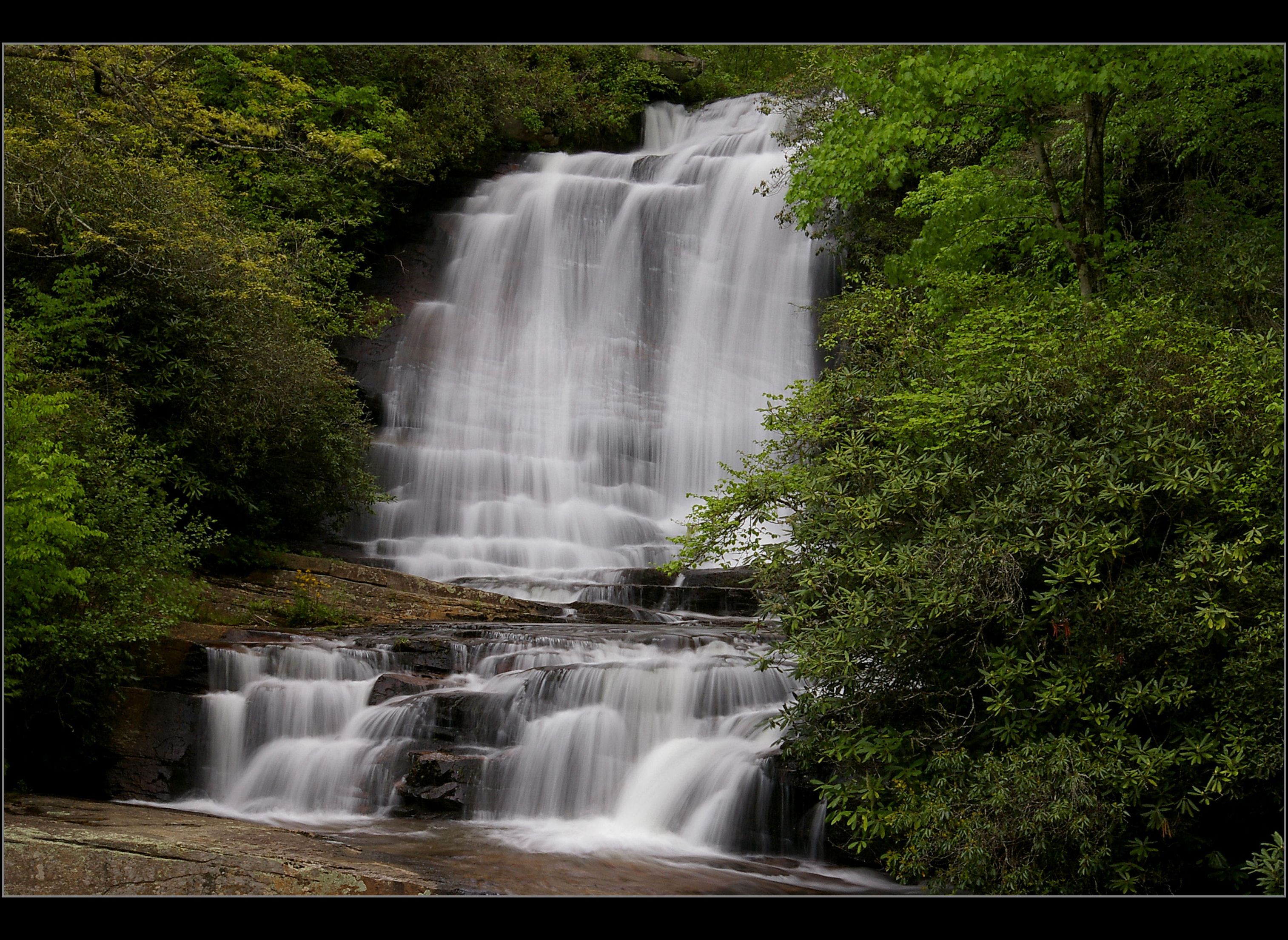
North Carolina Blue Ridge Waterfall - Stillness and Movement
pisgahastronomicalresearchinstitute pari astronomicalobservatory radiotelescope pisgahastronomicalresearchandscienceeducationalcenter space outerspace parsec rosmansatellitetrackingstation balsamgrove nc northcarolina mountains blueridgemountains wnc westernnorthcarolina pisgahnationalforest aerial aerialphoto aerialphotography aerialphotographer sigint signalsintelligence nsa nationalsecurityagency telescope base station spy spying rosmanresearchstation rrs transylvaniacounty satellite satellitedishs nasa nationalaeronauticsandspaceadministration militaryintelligence astronomy telescopes radioastronomy radiotelescopes eavesdropping projectladylove topsecret classified clandestine rosman unitedstatesofamerica
Pisgah Astronomical Research Institute Aerial View - PARI
pisgahnationalforest
I See Trout
uploadedviaflickrqcom waterfall falls stream creek mountains eastatoefalls blueridgemountains appalachianmountains northcarolina canonrebelt4i water unitedstates america waterfalls usa
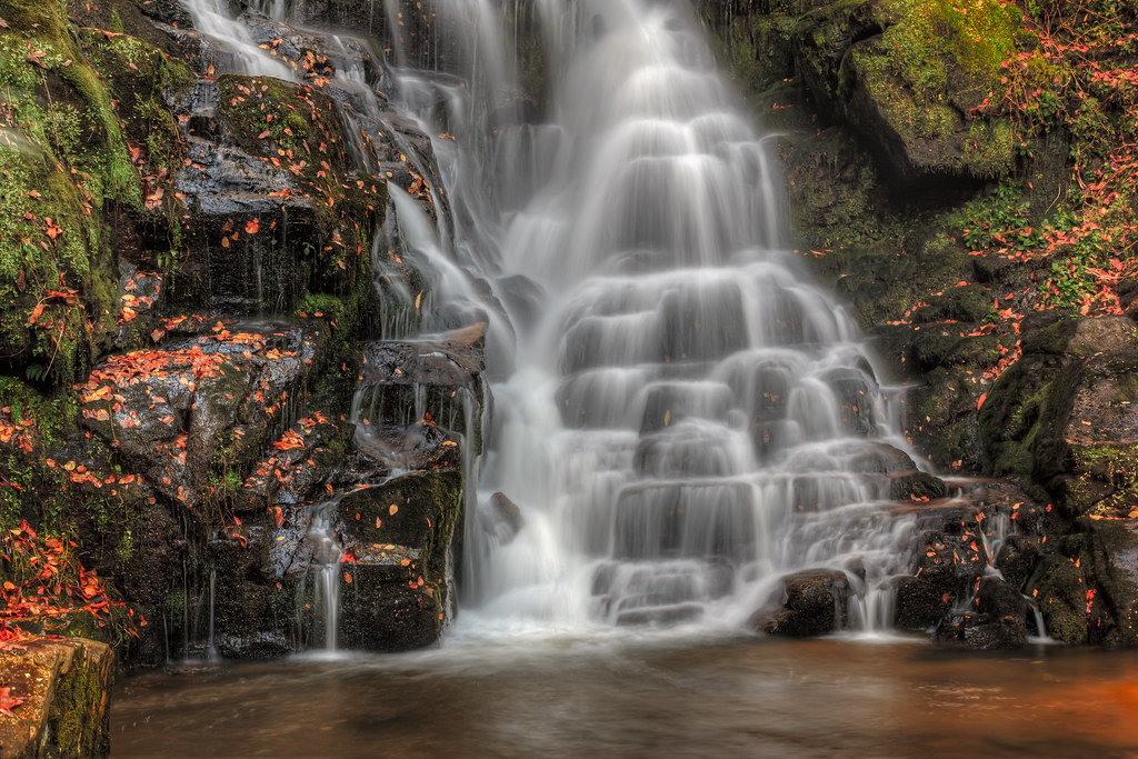
Closer View of Eastatoe Falls
blinkagain bestofblinkwinners blinksuperstars bestofsuperstars
Lower Eastatoe Falls View 2
river waterfall nc northcarolina frenchbroadriver nikkor1685vr frenchbroadfalls nd8xfilter gitzotripodwithmarkinshead livingwatersministriesproperty
French Broad Falls - Explore #316
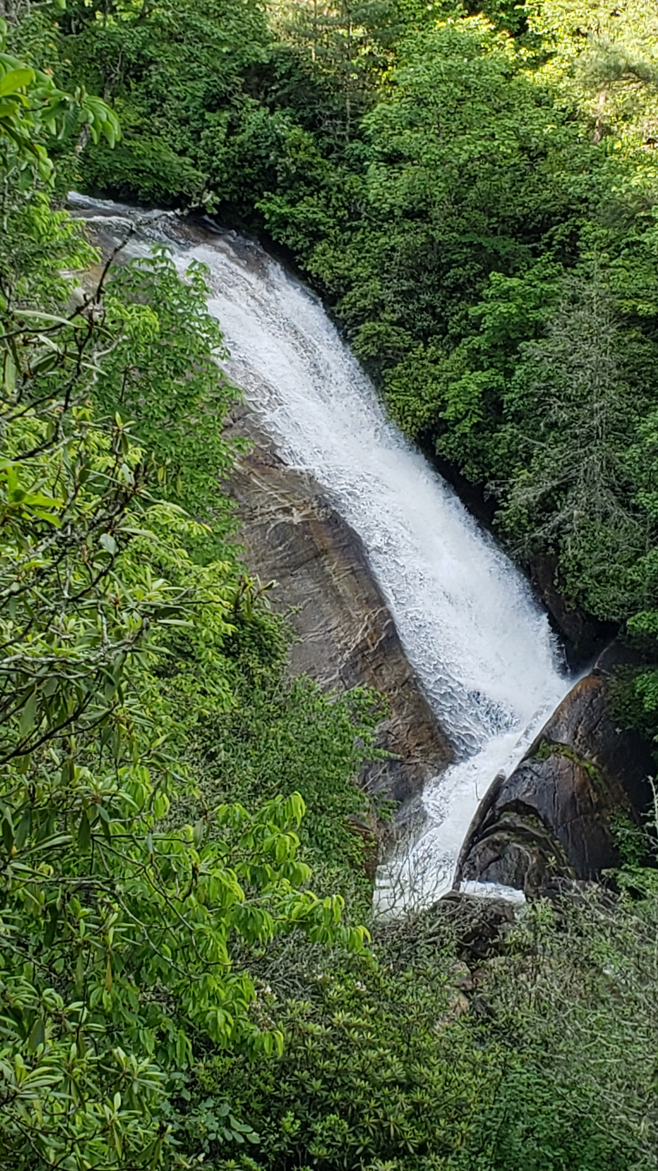
nature water landscape waterfall unitedstates january northcarolina falls 2015 laketoxaway toxawayfalls toxawayriver
Toxaway Falls
upperbearwallowfalls nationaltrailsday2018 gorgesstatepark waterfall northamerica blueridgeescarpment northcarolina unitedstatesofamerica transylvaniacounty usa nc
From the Observation Deck
waterfall waterfalls jocassee lakejocassee laurelforkfalls towawayriver
Laurel Fork Falls
rainbowfalls horsepastureriver nc northcarolina spray mist gorgesstatepark river
Rainbow Falls (North Carolina)
mountain sc air fork laurel sota summits w4c yaesuft817 alexloop ki4svm w4cus014
Laurel Fork Mtn QTH
nationaltrailsday2018 gorgesstatepark flora northamerica blueridgeescarpment northcarolina unitedstatesofamerica transylvaniacounty usa nc
Yellow Star Blossoms
mountain art pilot pisgah loeb
Pilot Mountain
Sassafras Mountain, SC
mountain art pilot pisgah loeb
Pilot Mountain
longexposure trees mountains water creek river waterfall nc rocks stream northcarolina cascades paradisefalls wnc jacksoncounty westernnorthcarolina ncmountains fullflow waterfallphotography davidhopkinsphotography
Paradise Falls Horizontal
art trail sota loeb artloebtrail summitsontheair cedarrockmountain elecraftkx3 ki4svm wh6le w4ccm081 88doublet
Operating position with a view on Cedar Rock Mtn
southcarolina lakejocassee sassafrasmountain netbros internetbrothers
Lake Jocassee, From Sassafras Mountain, South Carolina
nationaltrailsday2018 gorgesstatepark northamerica blueridgeescarpment northcarolina usa transylvaniacounty unitedstatesofamerica nc
Tree Trunk Hole
waterfall balsamgrove
Cascade on the North Branch French Broad River
waterfall balsamgrove shoalcreekfalls northbranchofthefrenchbroadriver
Close-up of the Confluence of the North Branch of the French Broad River and Shoal Creek Falls in Balsam Grove, NC
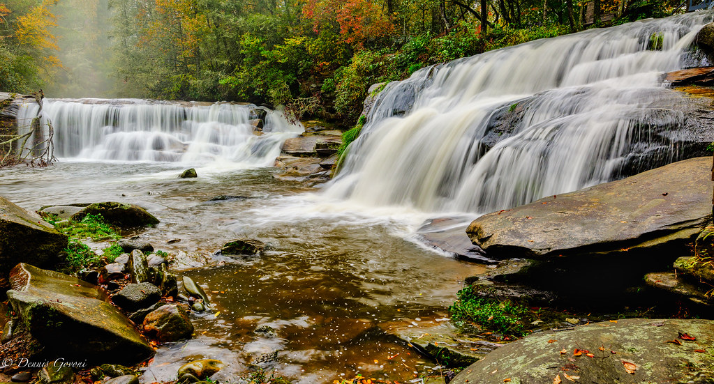
waterfall eastatoefalls
Eastatoe Falls
fog sunrise nc asheville northcarolina wnc brp westernnorthcarolina mountainridges valleyfog courthousevalleyoverlook
Sunrise from Courthouse Valley Overlook on the Blue Ridge Parkway
nikond90
More From Eastatoe Falls
pentaxk100d
Eastatoe Falls or The Old Name, Chapman Falls
waterfall eastatoefalls
Eastatoe Falls
nikon d500 falls nature landscape waterfall northcarolina whiteowlfalls water tree
White Owl Falls, North Carolina
autumn brevard fall landscapemountain mountains northcarolina trees water waterfall
Side Flow
Sunrise Over Courthouse Valley
2jtrip2009 5dclassic 5dc cpl canonef24mmf14l cothronphotography johncothron nantahalanationalforest tanaseecreek afternoonlight circularpolarizingfilter creek environment falling flowing forest freshwater landscape longexposure nature outdoor outside partlycloudy protected river scenic spring stream travel water waterfall northcarolina img670620090509coweb852018 ©johncothron2009 dillfalls
Dill Falls
longexposure autumn fall water leaves waterfall nc rocks hiking northcarolina hike rhododendron rhodo jacksoncounty schoolhousefalls waterfallphotography davidhopkinsphotography
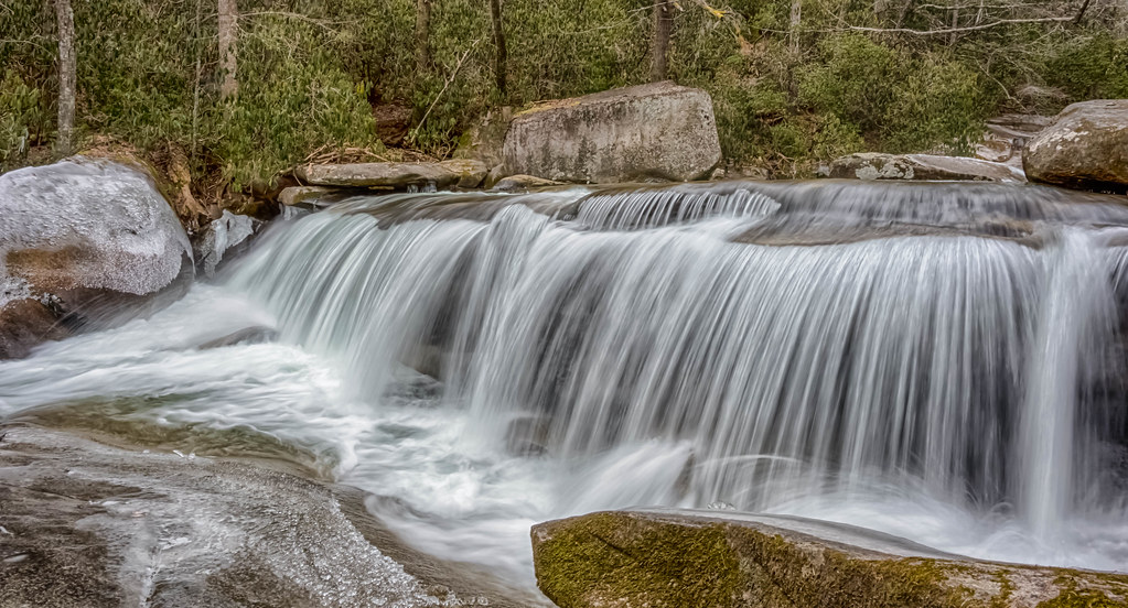
Schoolhouse Falls up Close
Eastatoe Falls in the Rain
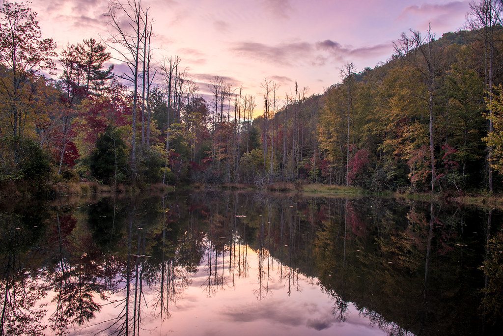
eastatoetransylvaniacounty nc northcarolina transylvania transylvaniacounty lake reflection mountains fall autumn
Morning Reflection
longexposure autumn reflection fall leaves waterfall nc northcarolina valley jacksoncounty panthertown waterfallphotography davidhopkinsphotography
Schoolhouse Falls
2jtrip2009 5dclassic 5dc americansouth balsamgrove cpl canonef24mmf14l carolinas cothronphotography courthousefalls dixie johncothron nc northcarolina pisgahnationalforest southatlanticstates southernregion thesouth transylvaniacounty us usa unitedstatesofamerica afternoonlight circularpolarizingfilter clearsky environment falling flowing forest landscape longexposure nature outdoor outside protected rock scenic spring sunny travel water waterfall weatherl img677920090509 ©johncothron2009 aspringgem
A Spring Gem
geo:lat=3527199443 geo:lon=8280852222 geotagged laurelfalls northcarolina pisgahforest unitedstates usa airterjun brevard buttergaptrail cascada cascade creek fallingwater green grogancreek grogancreekfalls grogancreekwaterfall landscape march2016 mist moss motion nature outdoor pisgahnationalforest pisgahrangerdistrict rhododendron rock rosebayrhododendron serene spring2016 transylvaniacounty transylvaniacountynorthcarolina trees vattenfall wasserfall water waterblur watermist watercourse waterfall waterfallongrogancreek waterval водопад شلال झरना น้ำตก 폭포 瀑布 cascades splash waterdefinition waterpath waterfallofnorthcarolina westernnorthcarolina westernnorthcarolinawaterfall wnc soe
Waterfall on Grogan Creek (Pisgah National Forest) *EXPLORED*
geo:lat=3511028770 geo:lon=8281713009 geotagged middlefork unitedstates usa brevard brevardnorthcarolina cascada cascade cascades creek northcarolinawaterfall eastatoe eastatoefalls eastatoefallsrosmannc estatoefalls fallingwater falls landscape motion nature nikon nikond800 northcarolina northcarolinawaterfalls outdoor pisgahforest pisgahnationalforest pisgahnationalforestrosmantransylvaniacountynorthcarolina pisgahrangerdistrict rock rosman rosmannc rosmannorthcarolina shoalcreek sky transylvaniacounty transylvaniacountynorthcarolina trees vattenfall wasserfall water waterblur waterdefinition watermist waterpath watercourse waterfall waterfallofnorthcarolina waterval wave westernnorthcarolina westernnorthcarolinawaterfall wnc водопад شلال झरना น้ำตก 폭포 瀑布 flickrtravelaward
Eastatoe Falls (Rosman, North Carolina)
eastatoe lake transylvania transylvaniacounty northcarolina sunrise
Morning near Eastatoe Falls, NC
autumn brevard fall landscapemountain mountains northcarolina trees water waterfall
Falls at Living Waters
waterfalls rocks stream creek trees pines logs moss carolina ncmountainman d70s phixe blueridgeparkway yabbadabbadoo water river lowresolutionversion nikon
Water and Moss