Elevation of Dodger Stadium, Fort Dodge, IA, USA
Location: United States > Iowa > Webster County > Fort Dodge >
Longitude: -94.170254
Latitude: 42.5184739
Elevation: 325m / 1066feet
Barometric Pressure: 97KPa
Elevation Map:
Satellite Map:
Related Photos:
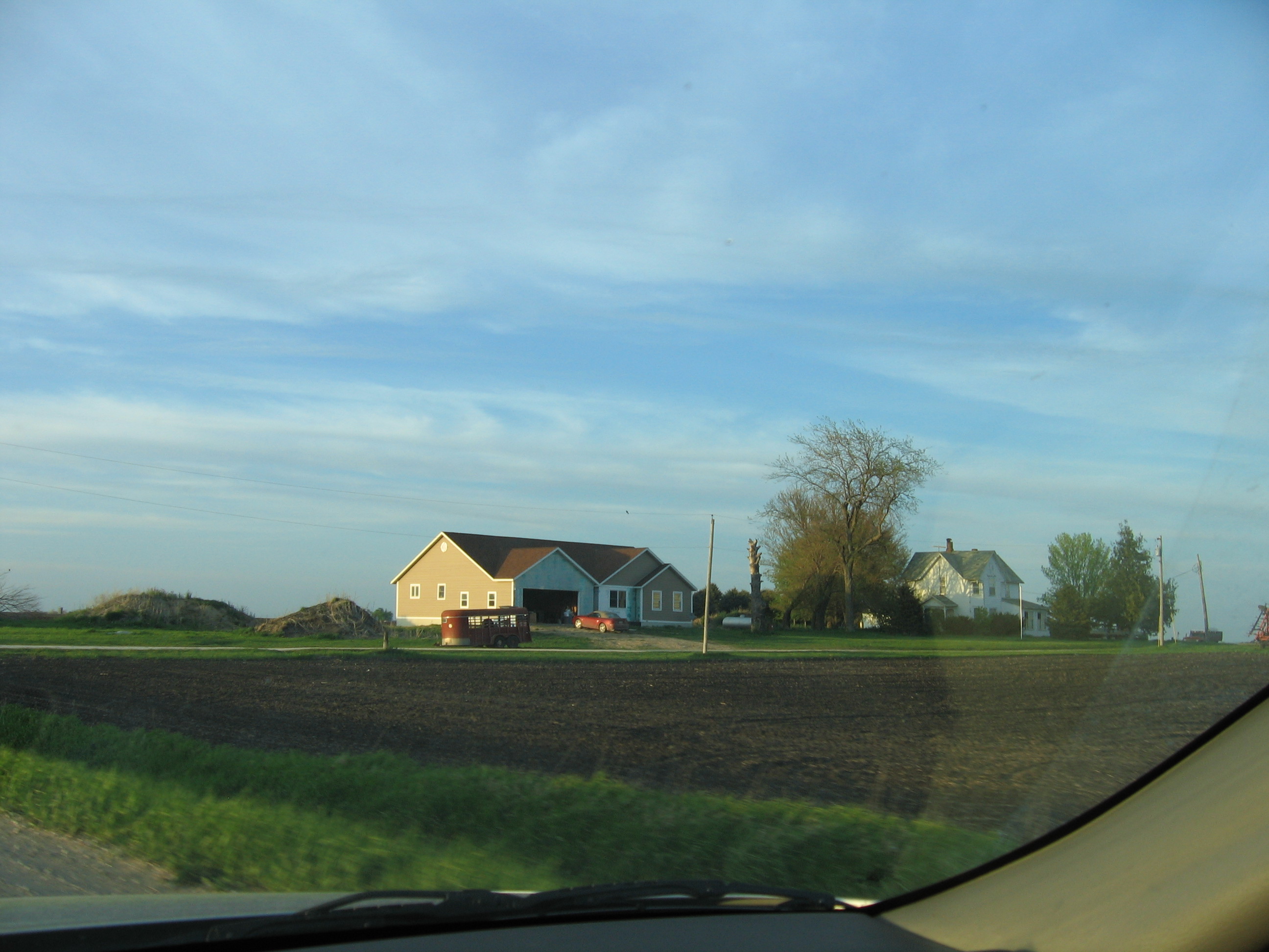
House Across Field 3
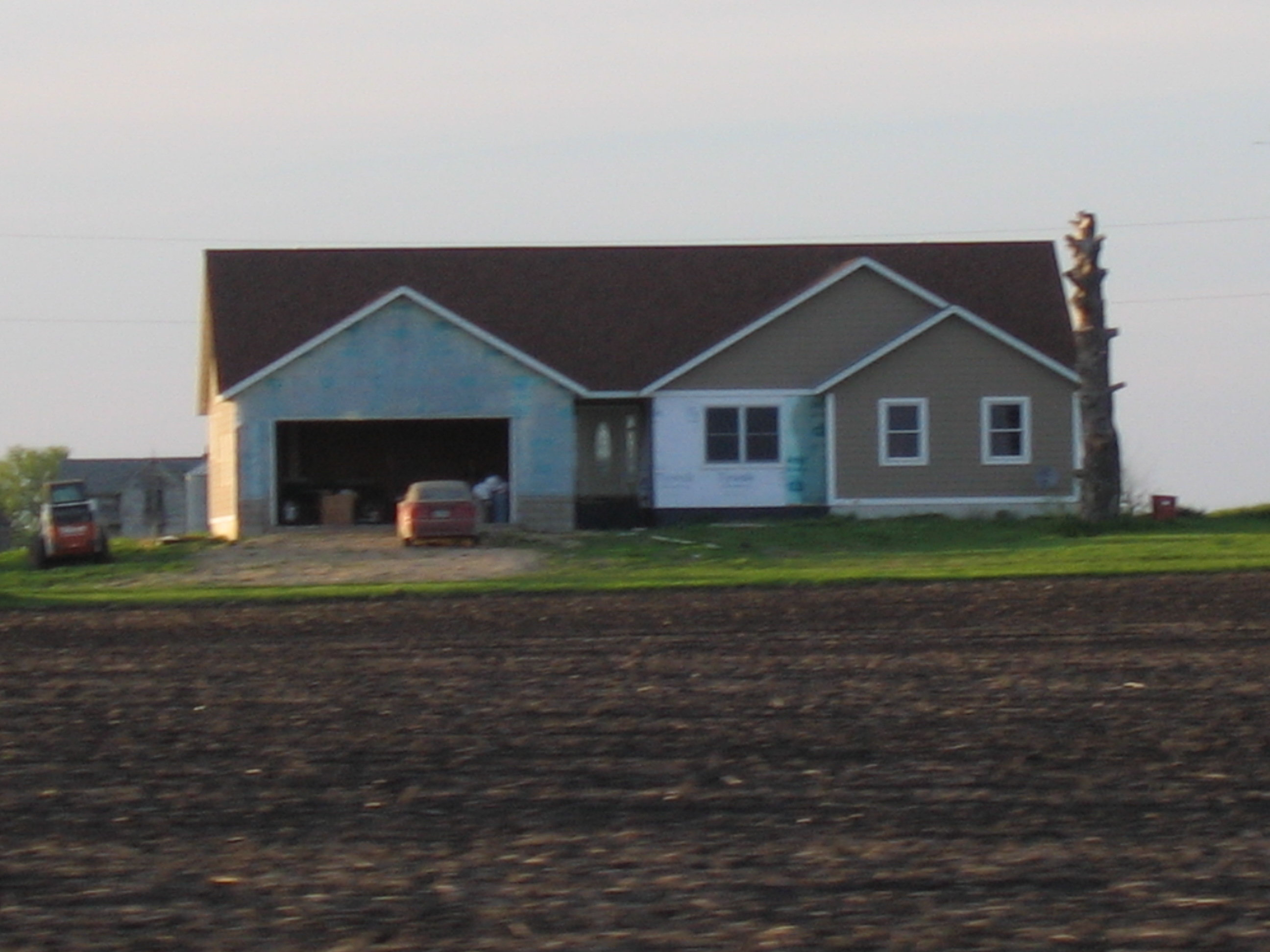
House Across Field
Topographic Map of Dodger Stadium, Fort Dodge, IA, USA
Find elevation by address:

Places near Dodger Stadium, Fort Dodge, IA, USA:
Dodger Stadium
Fort Dodge
437 Loomis Ave
2374 Mill Rd
2374 Mill Rd
Riverside Trail, Fort Dodge, IA, USA
2340 Riverside Trail
Coalville
Nelson Ave, Fort Dodge, IA, USA
th St, Otho, IA, USA
Co Hwy D33, Otho, IA, USA
Otho
Pleasant Valley
Elkhorn
Nelson Avenue
Otho
Webster County
th St, Duncombe, IA, USA
th St, Duncombe, IA, USA
Main St, Duncombe, IA, USA
Recent Searches:
- Elevation of Corso Fratelli Cairoli, 35, Macerata MC, Italy
- Elevation of Tallevast Rd, Sarasota, FL, USA
- Elevation of 4th St E, Sonoma, CA, USA
- Elevation of Black Hollow Rd, Pennsdale, PA, USA
- Elevation of Oakland Ave, Williamsport, PA, USA
- Elevation of Pedrógão Grande, Portugal
- Elevation of Klee Dr, Martinsburg, WV, USA
- Elevation of Via Roma, Pieranica CR, Italy
- Elevation of Tavkvetili Mountain, Georgia
- Elevation of Hartfords Bluff Cir, Mt Pleasant, SC, USA