Elevation of Dodding Ave, Lower Nicola, BC V0K 1Y0, Canada
Location: Canada > British Columbia > Thompson-nicola > Thompson-nicola M >
Longitude: -120.88401
Latitude: 50.156307
Elevation: 602m / 1975feet
Barometric Pressure: 94KPa
Elevation Map:
Satellite Map:
Related Photos:

Coquihalla View

Storm Front Over Nicola Valley

Coldwater hotel

Old Graveyard

Coldwater hotel

Old Graveyard

C-FHTQ - Summit Helicopters - Bell 206B Jetranger

Semi Rollover on the Coquihalla

Lundbom Commonage, BC, Canada
Golden field

Main stage. From camp.

5D3 24-70MM F2.8 II

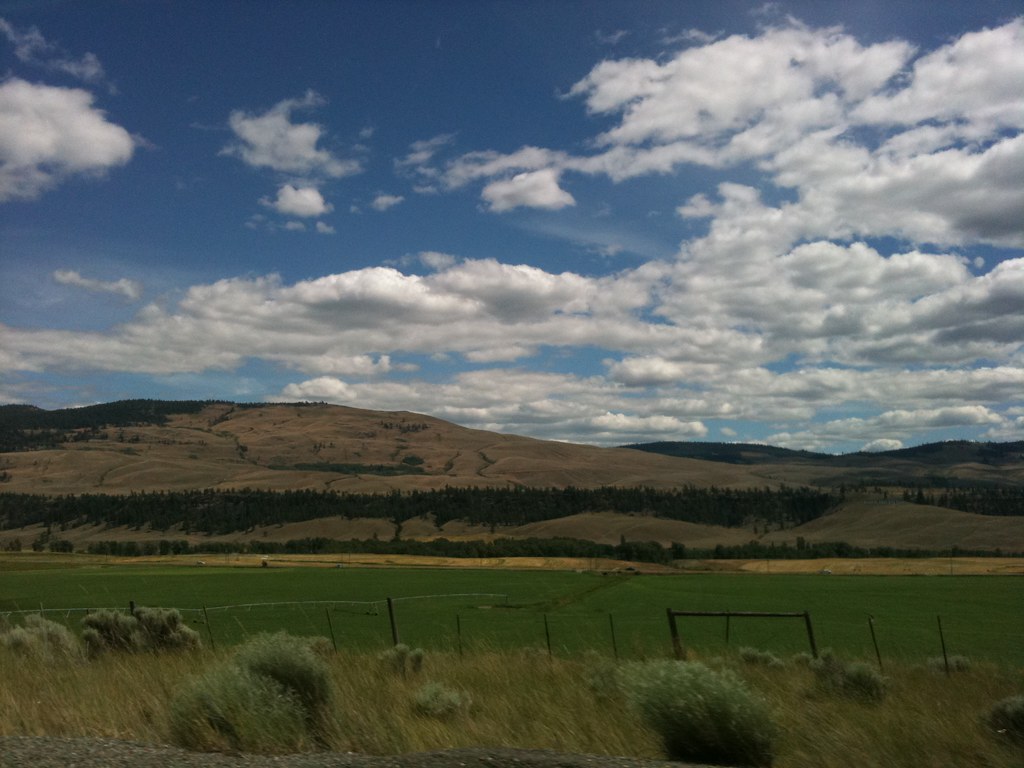
Nicola Valley BC

R2S 2013 3757 bwk

Ink Blot Creek_color

Clouds Over Nicola Lake

Highway 8, Nicola Valley

R2S 2013 3758 bwk

Hills Above Merritt
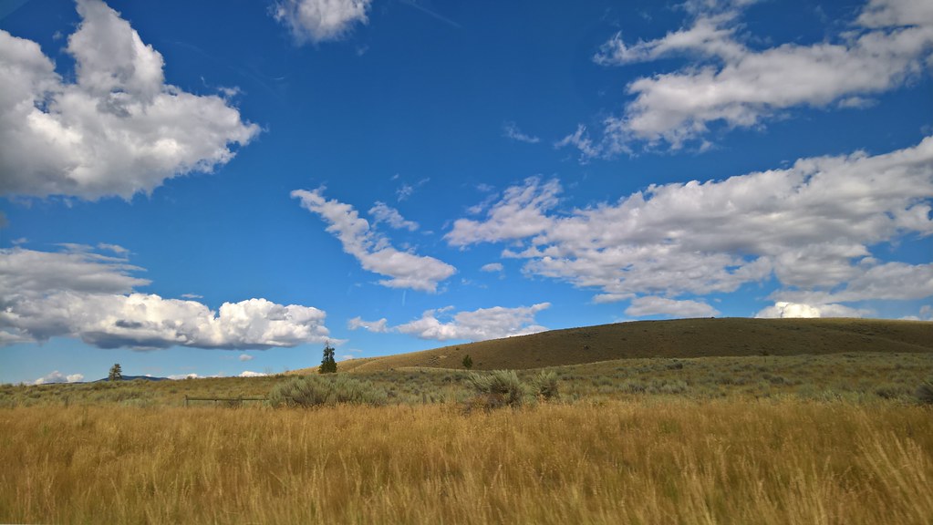
Nicola Valley

Death of a Forest

DSC_0612.jpg

R2S 2012 5130 bwk
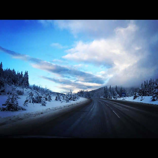
Perfect day for a road trip
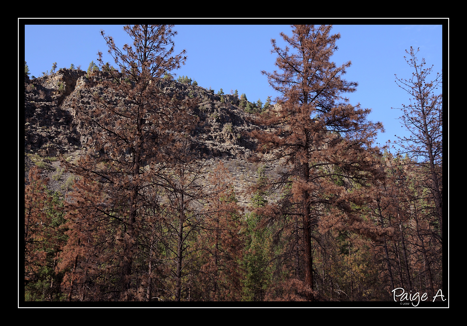
Natural Tragedy
Topographic Map of Dodding Ave, Lower Nicola, BC V0K 1Y0, Canada
Find elevation by address:

Places near Dodding Ave, Lower Nicola, BC V0K 1Y0, Canada:
Carrington
Neale Rd, Merritt, BC V0K, Canada
3375 Wildrose Way
1775 Juniper Dr
1802 Granite Ave
1700 Sunflower Ave
3104 Panorama Pl
Merritt
2760 Peregrine Way
Coquihalla Highway
Coquihalla Highway
1001 Coldwater Rd
Thompson-nicola
Kingsvale
Vipassana Meditation Centre Of Bc
Coquihalla Highway
258 Calcite Dr
Brookmere
341 Basalt Dr
Aspen Grove
Recent Searches:
- Elevation of Corso Fratelli Cairoli, 35, Macerata MC, Italy
- Elevation of Tallevast Rd, Sarasota, FL, USA
- Elevation of 4th St E, Sonoma, CA, USA
- Elevation of Black Hollow Rd, Pennsdale, PA, USA
- Elevation of Oakland Ave, Williamsport, PA, USA
- Elevation of Pedrógão Grande, Portugal
- Elevation of Klee Dr, Martinsburg, WV, USA
- Elevation of Via Roma, Pieranica CR, Italy
- Elevation of Tavkvetili Mountain, Georgia
- Elevation of Hartfords Bluff Cir, Mt Pleasant, SC, USA