Elevation of Dixie, GA, USA
Location: United States > Georgia > Brooks County >
Longitude: -83.664328
Latitude: 30.7857515
Elevation: 52m / 171feet
Barometric Pressure: 101KPa
Elevation Map:
Satellite Map:
Related Photos:

Star trail - 20 minutes - facing East
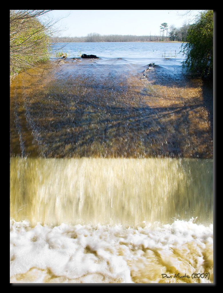
Lake Dam

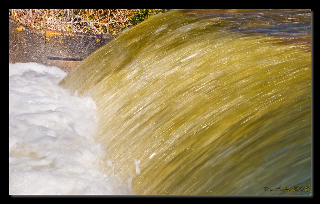
Lake Dam
Lake Dam

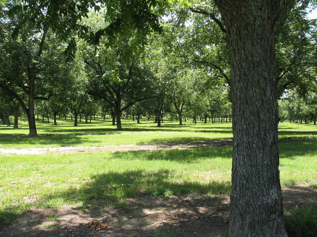
Pecan Grove 3 Boston GA
Pecan Grove 4 Boston GA

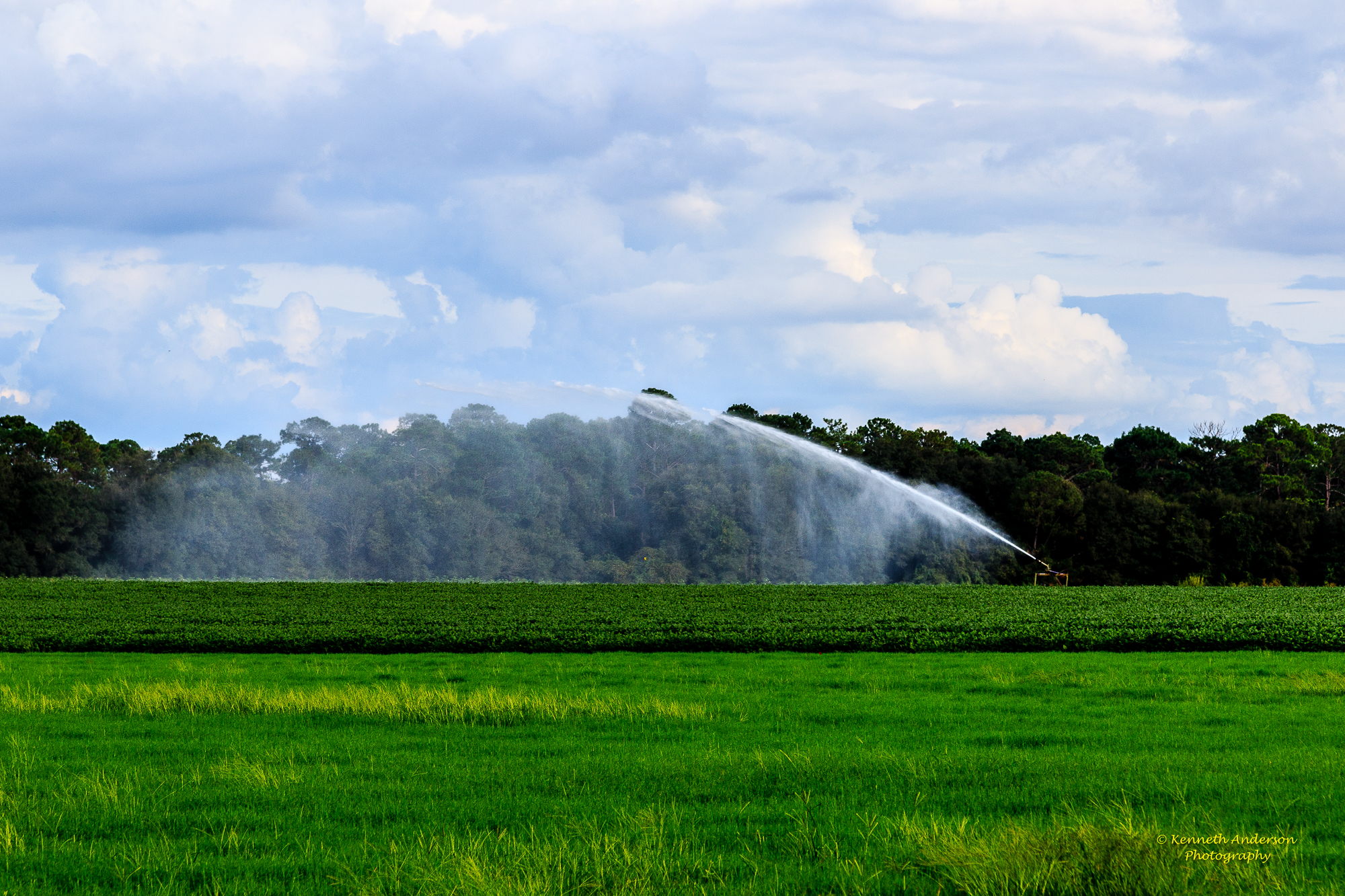
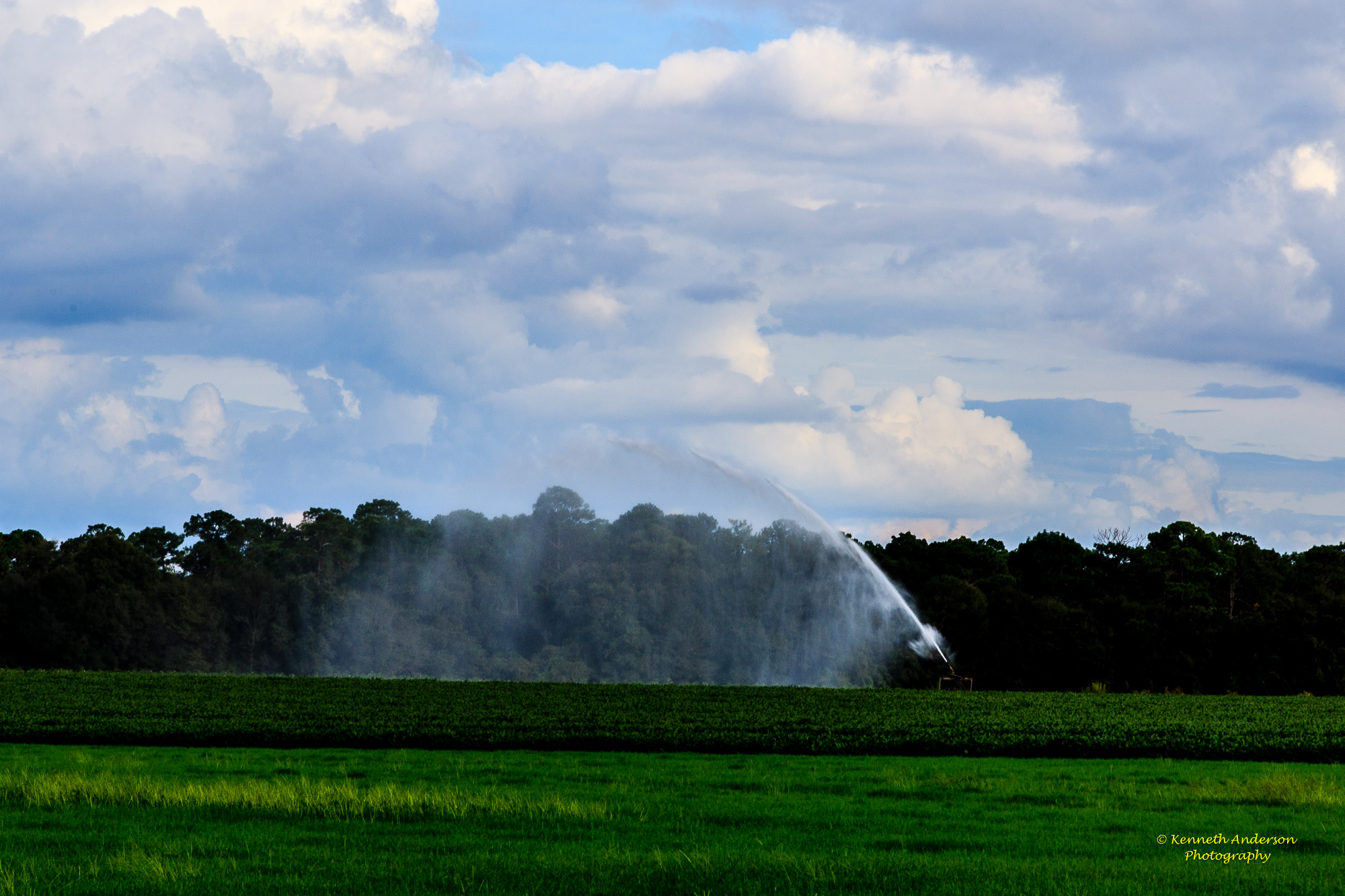
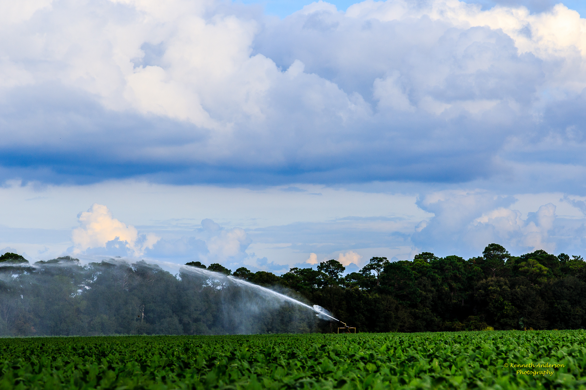
Thomas County Countryside-18.jpg
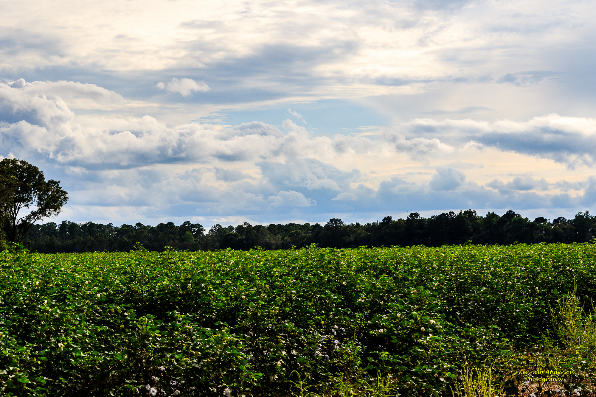
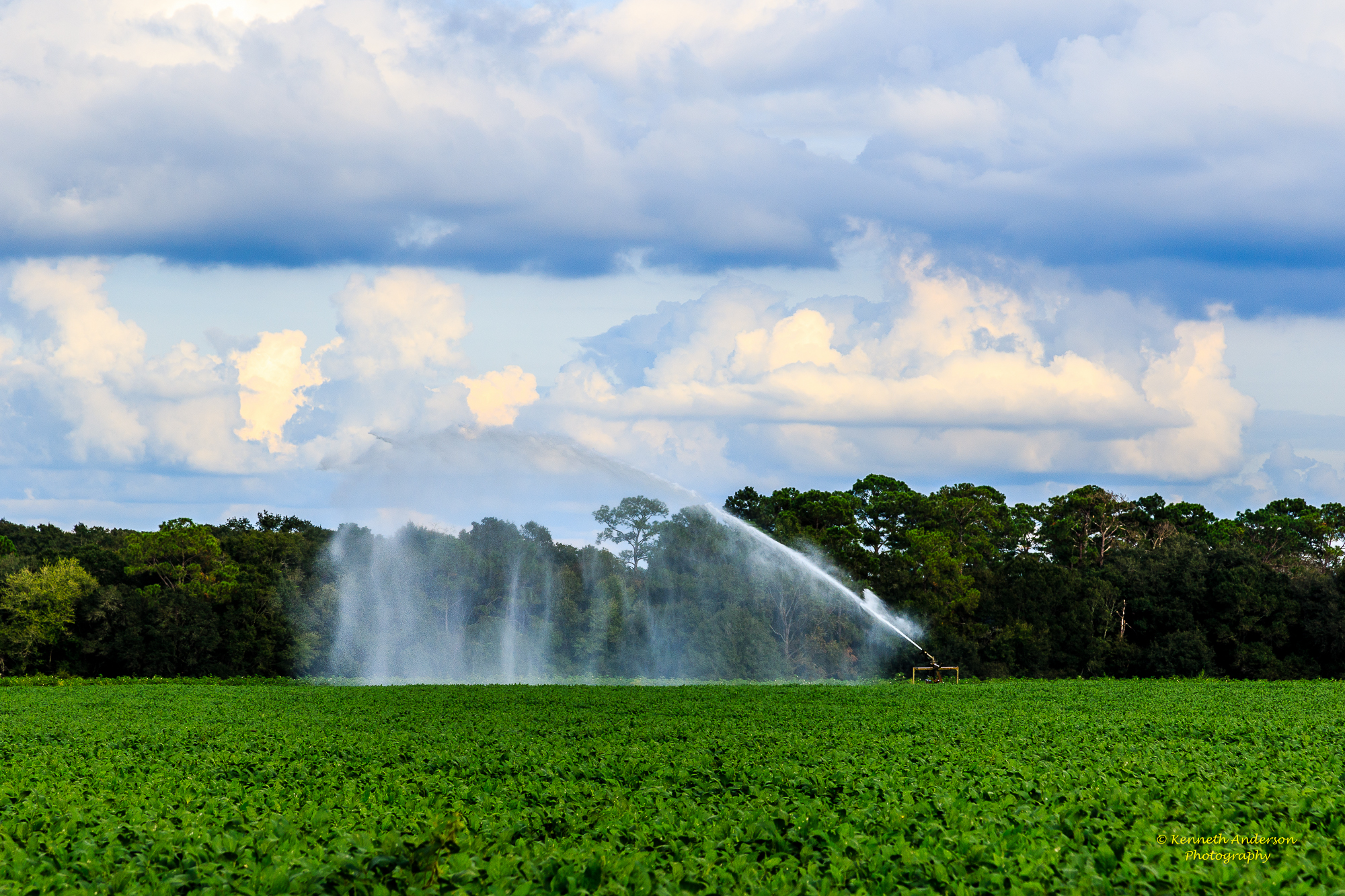
Thomas County Countryside-19.jpg
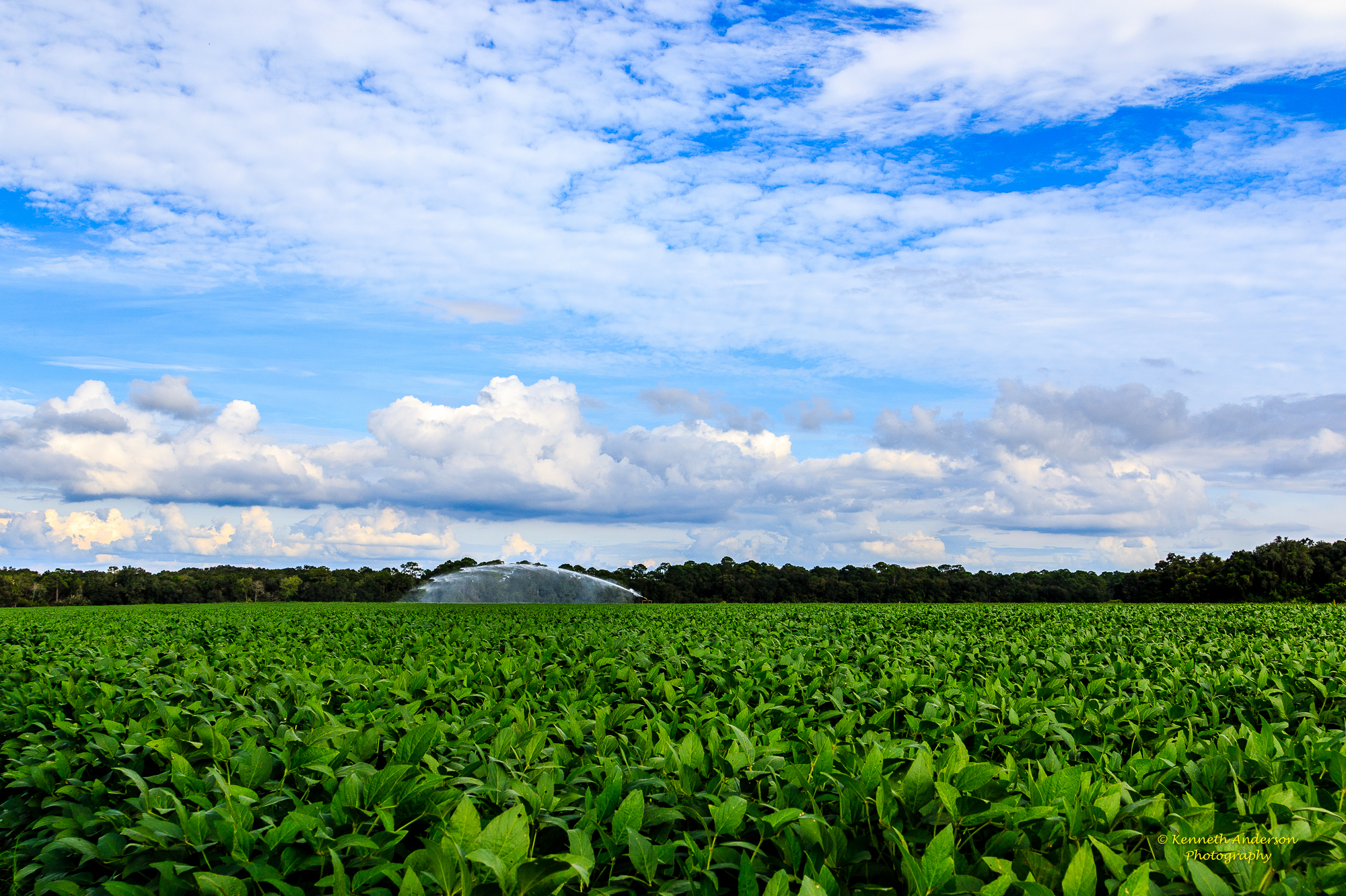
Thomas County Countryside-20.jpg

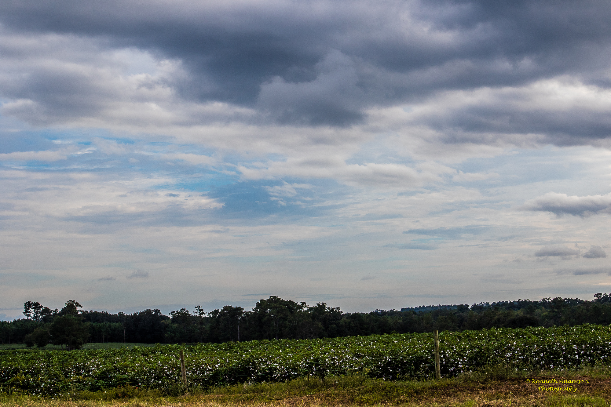
Thomas County Countryside-16.jpg

Thomas County Countryside-27.jpg
Thomas County Countryside-26.jpg
Thomas County Countryside-21.jpg
Thomas County Countryside-29.jpg

Thomas County Countryside-28.jpg
Thomas County Countryside-22.jpg
Plumbing Savannah, Georgia
Thomas County Countryside-24.jpg

Thomas County Countryside-17.jpg
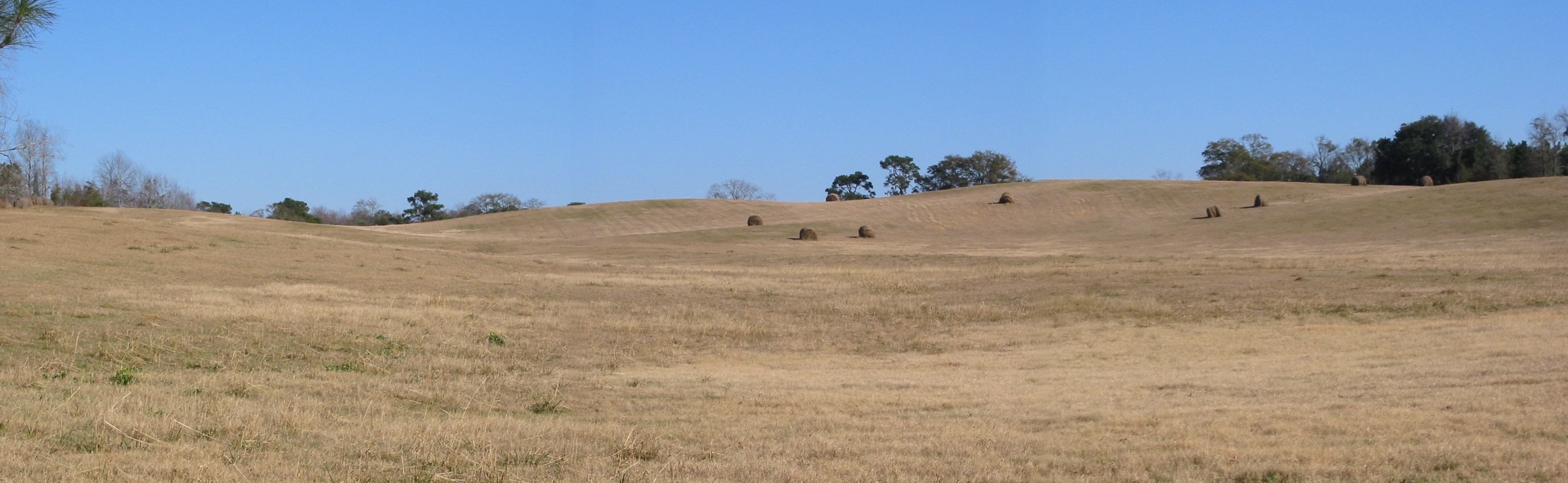
The Knoll
Topographic Map of Dixie, GA, USA
Find elevation by address:

Places in Dixie, GA, USA:
Places near Dixie, GA, USA:
Dixie Hwy, Dixie, GA, USA
353 Stewart Rd
Barwick Road
Quitman
Brooks County
9719 Moultrie Hwy
Coffee Rd, Quitman, GA, USA
US-84, Quitman, GA, USA
Ousley Rd, Valdosta, GA, USA
6500 Chug A Lug Rd
5778 Baxter Ln
5236 Snake Nation Rd
US-84, Valdosta, GA, USA
Pine Needle Dr N, Valdosta, GA, USA
James Road
Netherfield Ln, Valdosta, GA, USA
2000 Beverly Dr
Wellington Woods Dr, Hahira, GA, USA
4021 Kilarney Cir
Lantern Ln, Valdosta, GA, USA
Recent Searches:
- Elevation of Corso Fratelli Cairoli, 35, Macerata MC, Italy
- Elevation of Tallevast Rd, Sarasota, FL, USA
- Elevation of 4th St E, Sonoma, CA, USA
- Elevation of Black Hollow Rd, Pennsdale, PA, USA
- Elevation of Oakland Ave, Williamsport, PA, USA
- Elevation of Pedrógão Grande, Portugal
- Elevation of Klee Dr, Martinsburg, WV, USA
- Elevation of Via Roma, Pieranica CR, Italy
- Elevation of Tavkvetili Mountain, Georgia
- Elevation of Hartfords Bluff Cir, Mt Pleasant, SC, USA