Elevation map of Division No. 8, SK, Canada
Location: Canada > Saskatchewan >
Longitude: -108.73642
Latitude: 50.8429093
Elevation: 596m / 1955feet
Barometric Pressure: 94KPa
Elevation Map:
Satellite Map:
Related Photos:
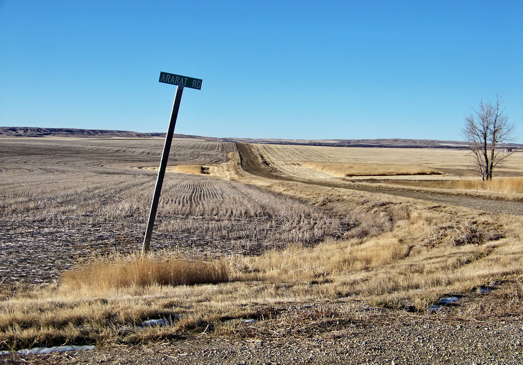
SKSW12a47 Ararat Road, RM Miry Creek, SK
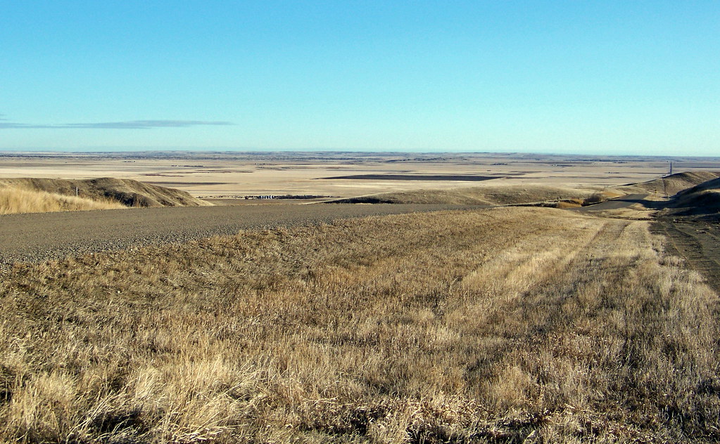
SKSW12a20 Abbey View, Miry Creek RM, SK 2012
SKSW12a25 Wayne Valley, Saskatchewan
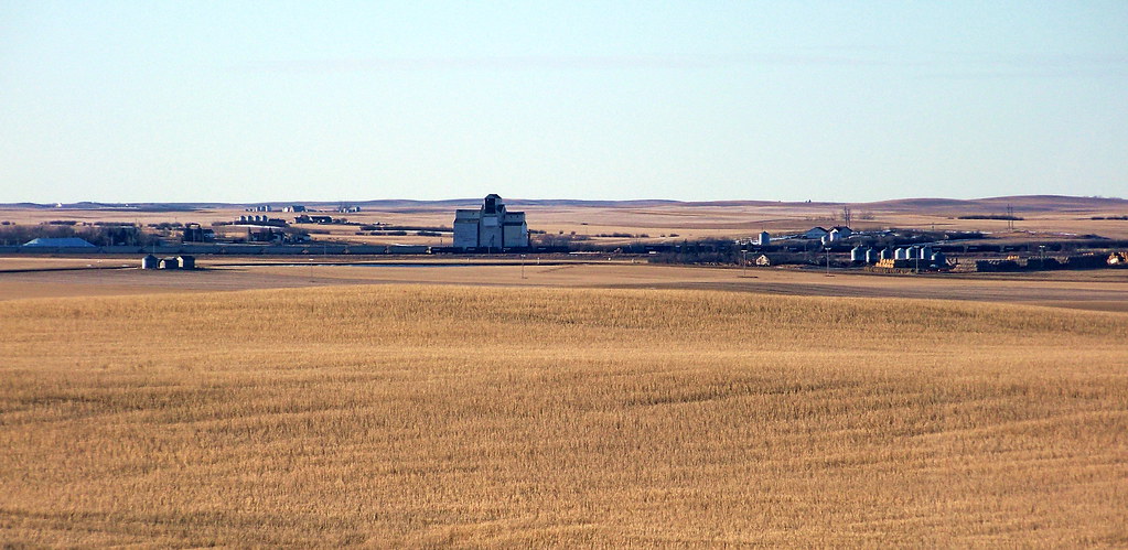
SKSW12a22 RM Miry Creek, Saskatchewan
SKSW11d35 Highway 32, Miry Creek SK 2011

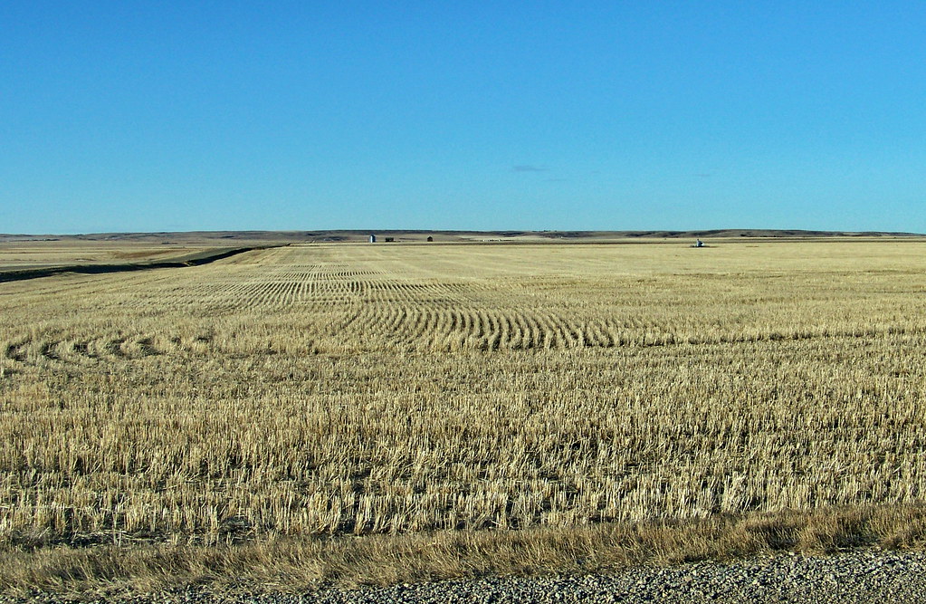
SKSW12a19 Miry Creek near Abbey, Saskatchewan

SKSW12a38 Miry Creek Gravel Pit, Saskatchewan
Topographic Map of Division No. 8, SK, Canada
Find elevation by address:

Places in Division No. 8, SK, Canada:
Chesterfield No. 261
Lancer
Swift Current
Success
Prelate
Main St, Mendham, SK S0N 1P0, Canada
Eatonia
Gull Lake
Cabri
Places near Division No. 8, SK, Canada:
Lancer
Balaclava St, Lancer, SK S0N 1G0, Canada
Prelate
Bishop St, Prelate, SK S0N 2B0, Canada
Kindersley
Eatonia
50 1 Ave, Laporte, SK S0L 1W0, Canada
Laporte
Herschel
Chesterfield No. 261
Main St, Mendham, SK S0N 1P0, Canada
Saskatchewan 21
Main St, Coleville, SK S0L 0K0, Canada
Coleville
Division No. 13
Major
Recent Searches:
- Elevation of Corso Fratelli Cairoli, 35, Macerata MC, Italy
- Elevation of Tallevast Rd, Sarasota, FL, USA
- Elevation of 4th St E, Sonoma, CA, USA
- Elevation of Black Hollow Rd, Pennsdale, PA, USA
- Elevation of Oakland Ave, Williamsport, PA, USA
- Elevation of Pedrógão Grande, Portugal
- Elevation of Klee Dr, Martinsburg, WV, USA
- Elevation of Via Roma, Pieranica CR, Italy
- Elevation of Tavkvetili Mountain, Georgia
- Elevation of Hartfords Bluff Cir, Mt Pleasant, SC, USA