Elevation of Distant Drums RV Resort, W Middle Verde Rd, Camp Verde, AZ, USA
Location: United States > Arizona > Yavapai County > Camp Verde >
Longitude: -111.86433
Latitude: 34.6126658
Elevation: 998m / 3274feet
Barometric Pressure: 90KPa
Elevation Map:
Satellite Map:
Related Photos:
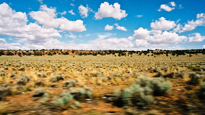
Drive by
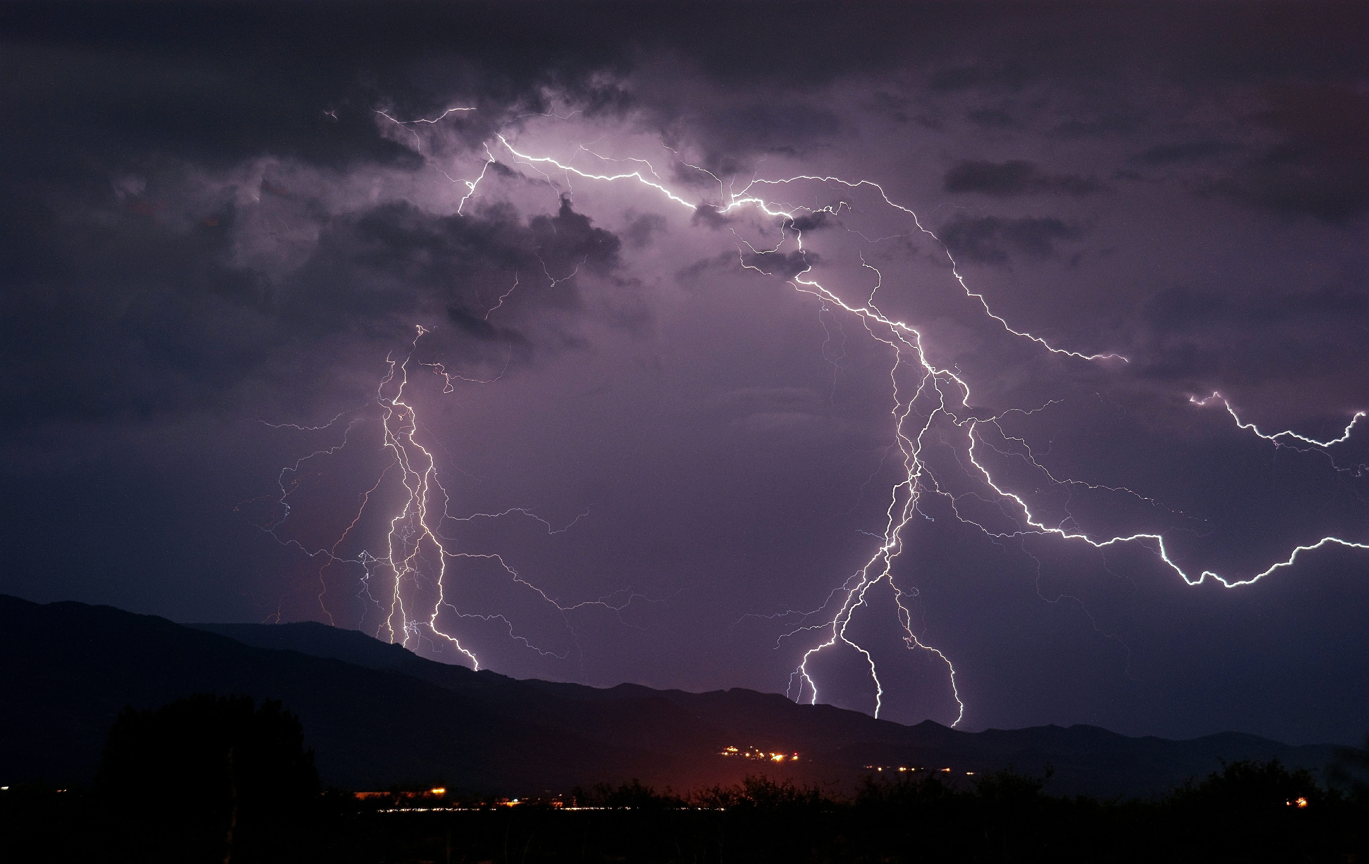
Lightning Above Jerome

DSC_0258 (>3500 views - Thank you for looking!)

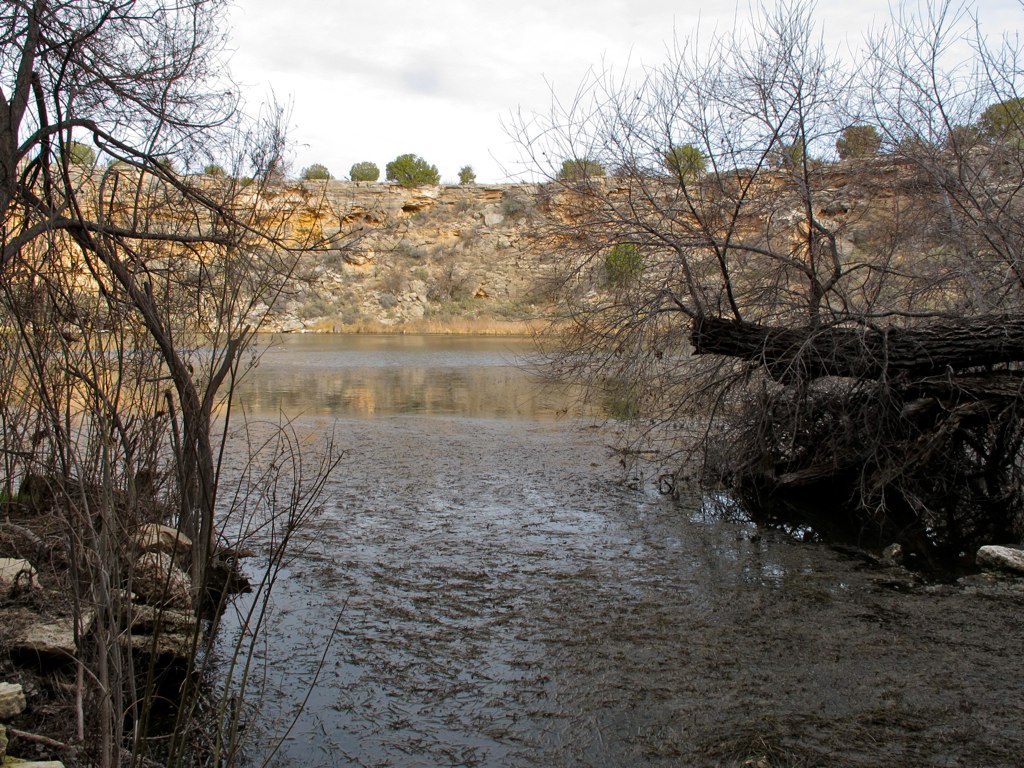
Beaver Creek

Feelin' Blue
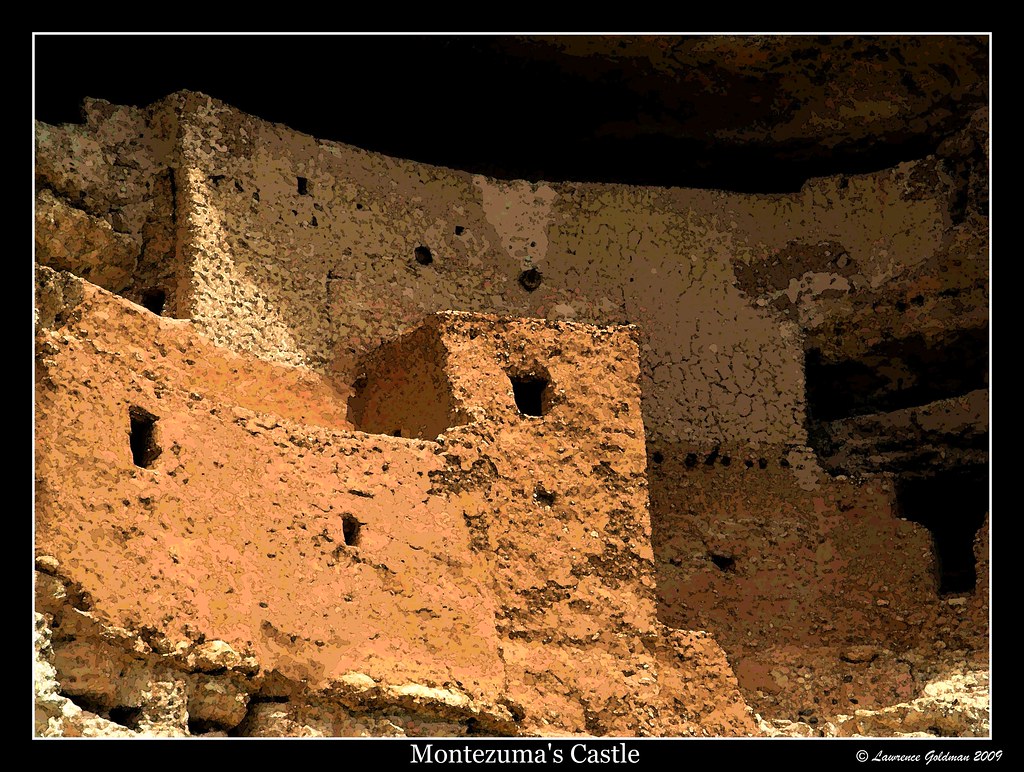
Close Up Montezuma's Castle
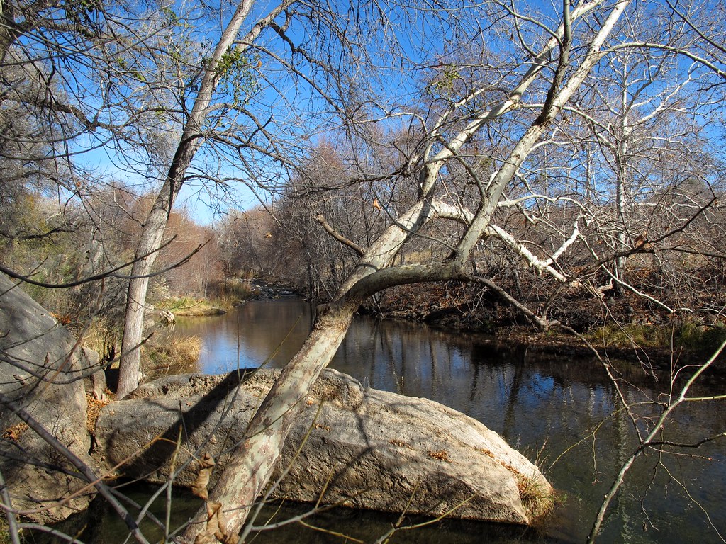
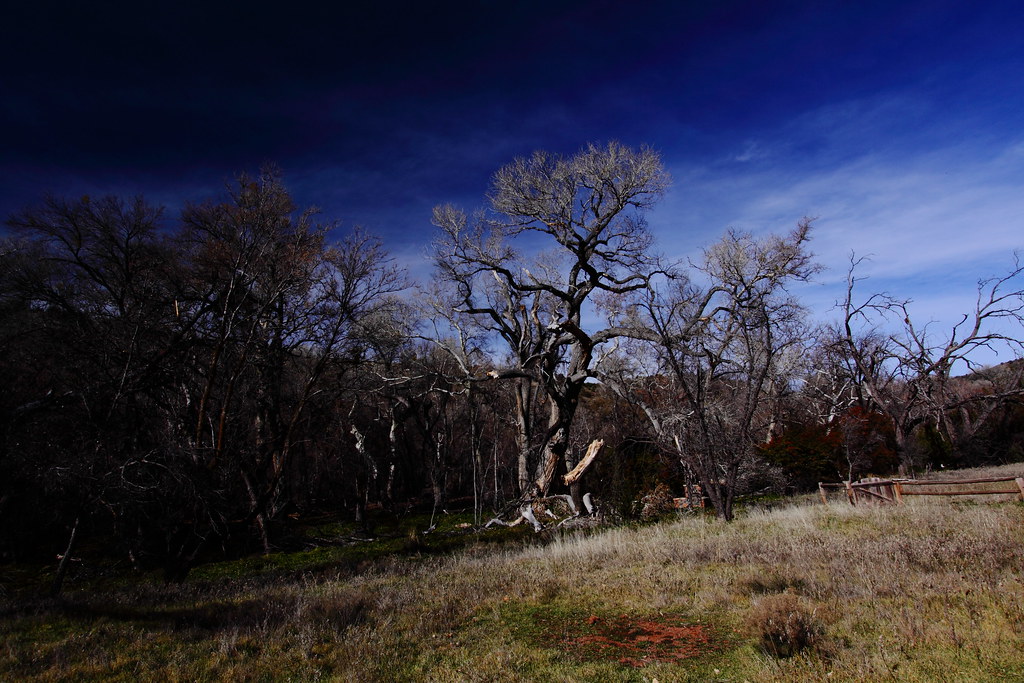
Winter Day Creekside
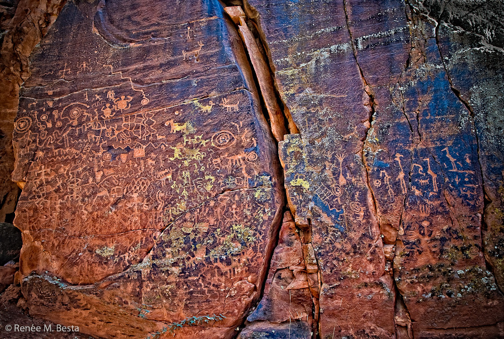
Hymn to Our Culture

Flight- The view from the basket below our hot air balloon ride today.
Reminders of the Past
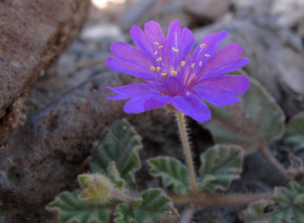
Trailing Four O'Clock

Montezuma Well

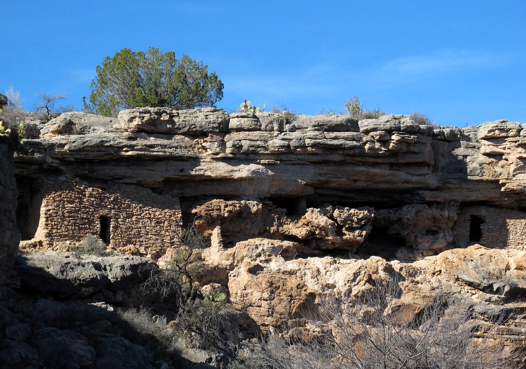
Sinagua Cliff Dwelling

Room with a view.
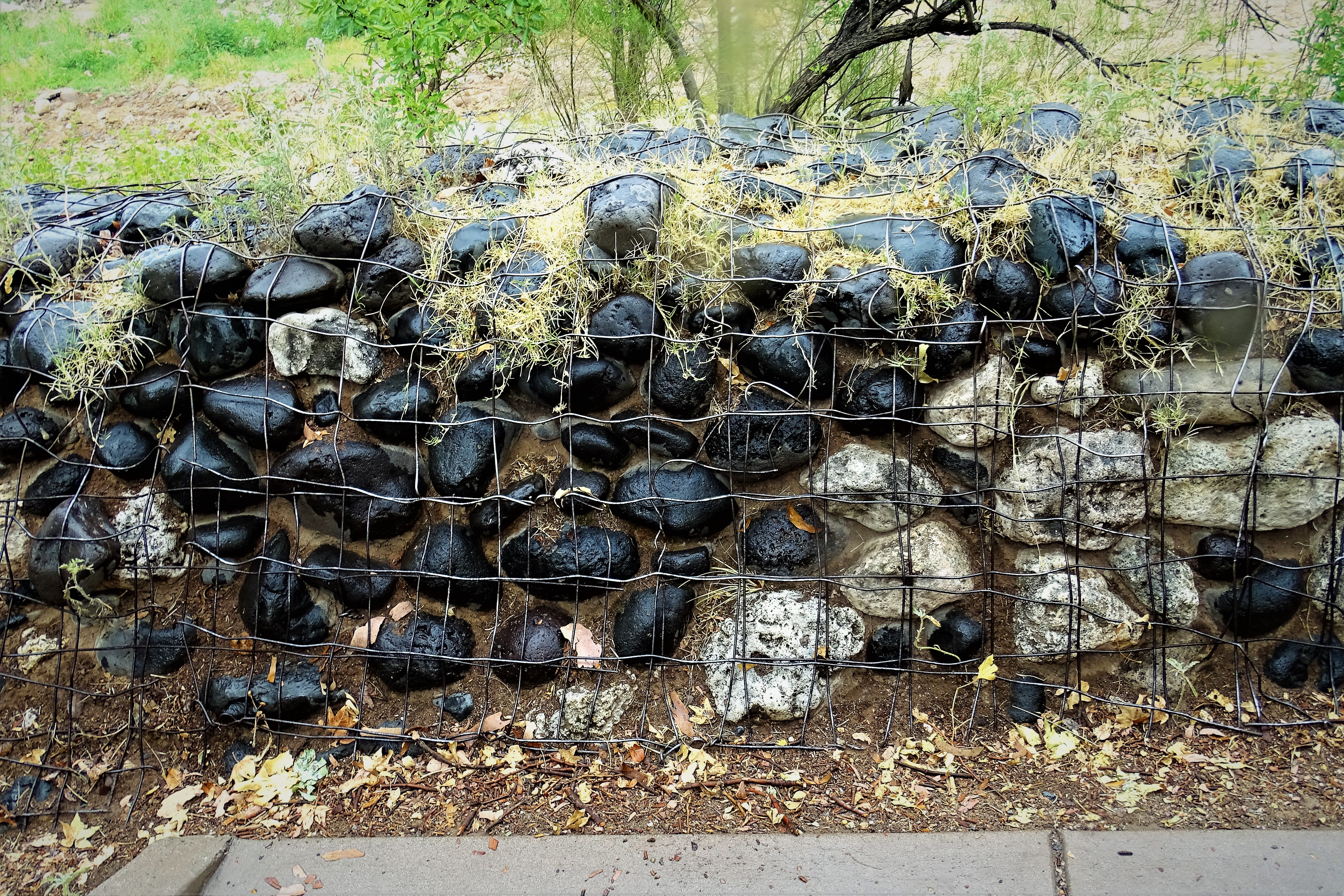
20170713 Gabion Basket at a well-preserved Sinagua dwelling located at Camp Verde, Arizona - Montezuma Castle

Montezuma Well
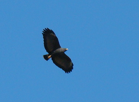
Common Black-hawk
10. A view of Montezuma Well from close to the swallet

View from the front porch
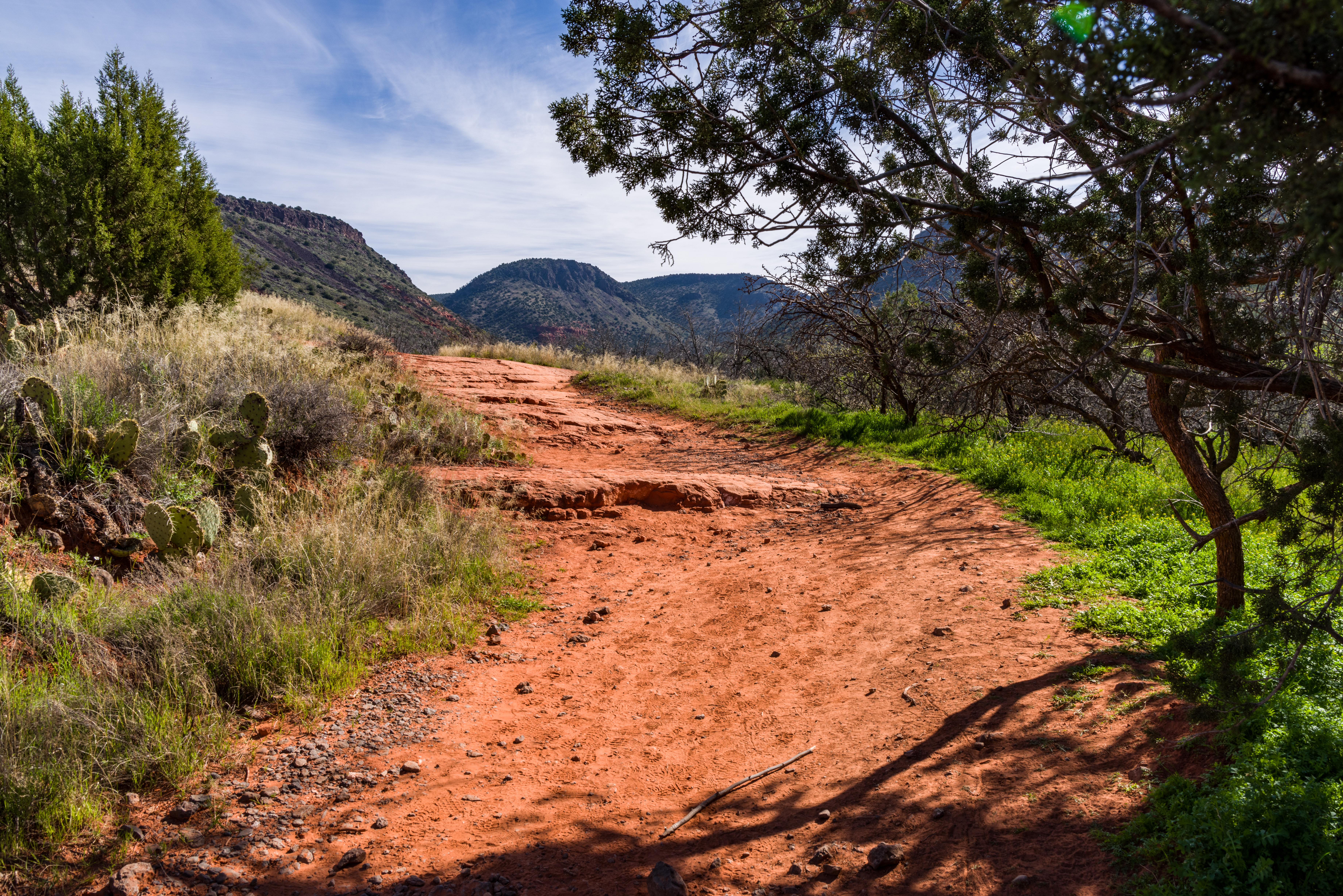
Bell Trail
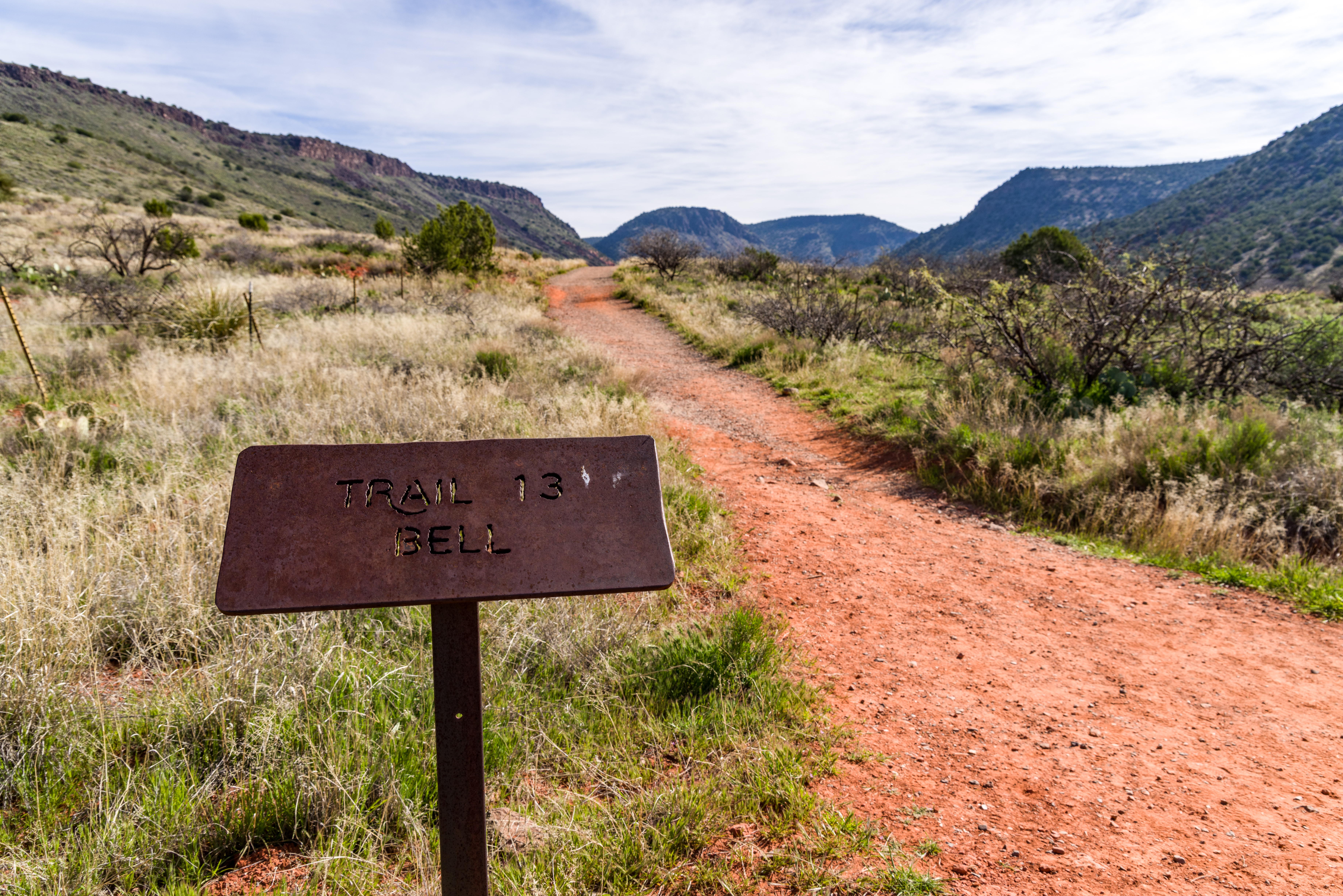
Bell Trail
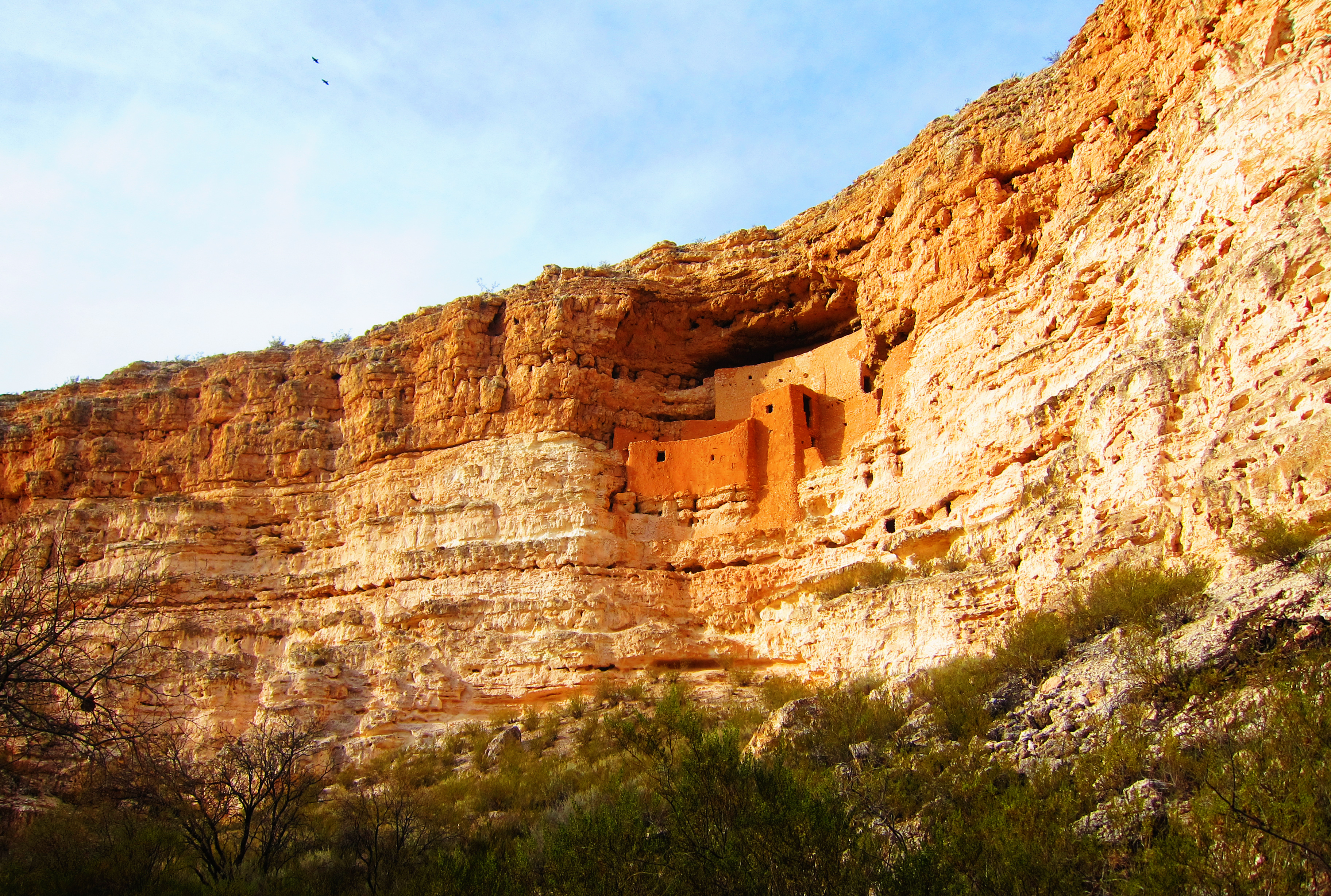
Montezuma's Castle
0272 V-Bar-V Heritage Site, Arizona
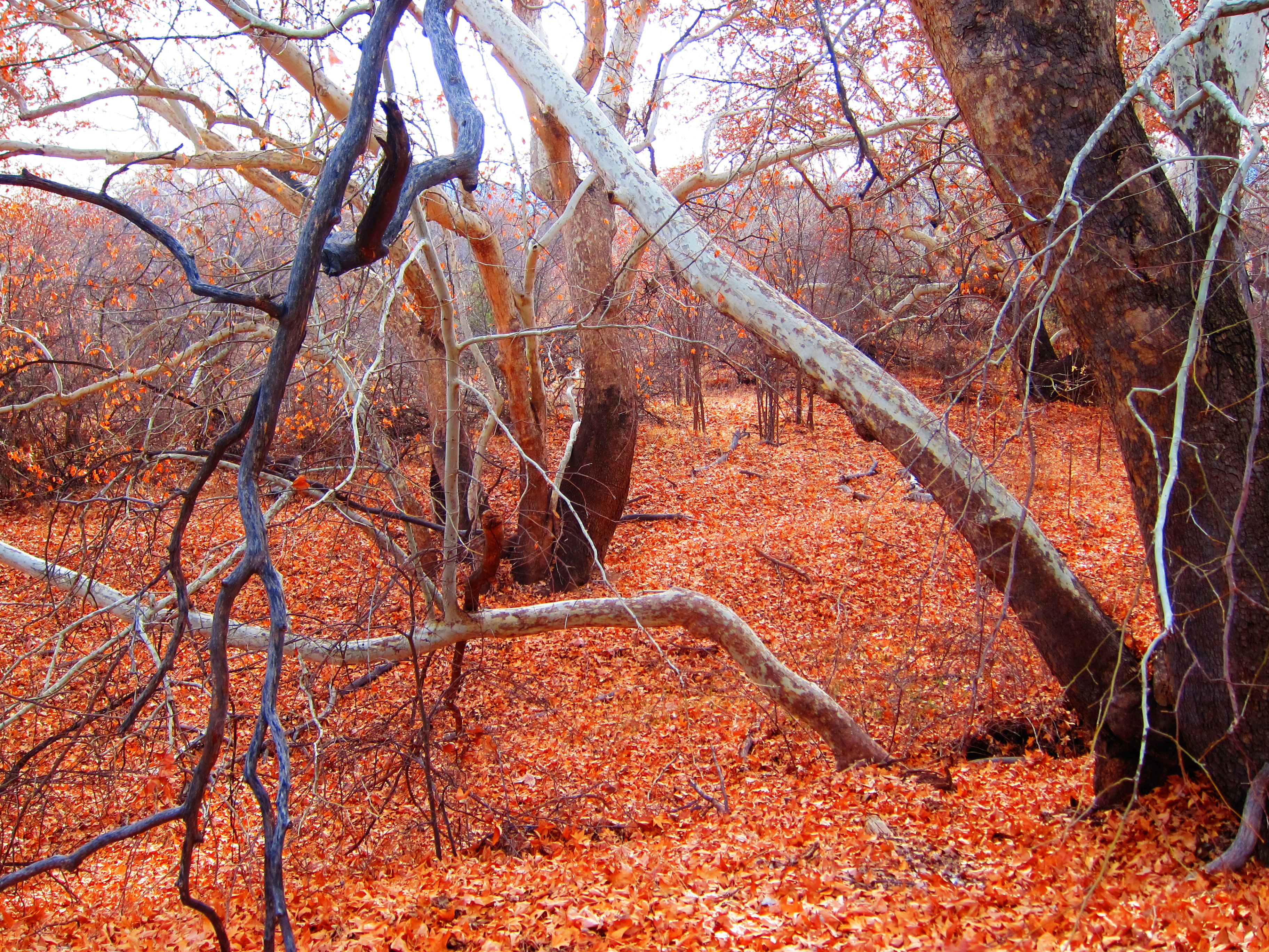
Fallen Leaves at Montezuma's Castle
Gateway to Rebirth

IMG_3484 img_20170213_122218750_hdr_32943819820_o
Montezuma Castle National Monument - Yavapai County, Arizona

IMG_3484 img_20170213_124538984_hdr_33326389745_o

IMG_3484 img_20170213_124800071_hdr_32483745284_o
Montezuma Well
Montezuma Well

Montezuma_Well_20171111_006-HDR-Edit-Edit
IMG_5074.jpg
Montezuma Castle National Monument - Yavapai County, Arizona

IMG_3484 img_20170213_124807064_hdr_33326397185_o
Verde River Canoe Trip
171. Montezuma's Well national monument, AZ.
Panorama from the McGuireville Rest Area on I-17
Topographic Map of Distant Drums RV Resort, W Middle Verde Rd, Camp Verde, AZ, USA
Find elevation by address:

Places near Distant Drums RV Resort, W Middle Verde Rd, Camp Verde, AZ, USA:
555 W Middle Verde Rd
333 W Middle Verde Rd
Reservation Loop Rd, Camp Verde, AZ, USA
2360 Wiki Way
North Trails End
W Buffalo Trail, Camp Verde, AZ, USA
2675 N Thomas Paine Cir
1640 Az-260
340 N Goswick Way
Camp Verde
West Azure Drive
S McCracken Ln, Camp Verde, AZ, USA
S Canal Cir, Camp Verde, AZ, USA
S Pearl Dr, Camp Verde, AZ, USA
S Landon Ln, Camp Verde, AZ, USA
S Glenrose Dr, Camp Verde, AZ, USA
2440 S Glenrose Dr
Wingfield
Clear Creek
Hardy Ln, Camp Verde, AZ, USA
Recent Searches:
- Elevation of Elwyn Dr, Roanoke Rapids, NC, USA
- Elevation of Congressional Dr, Stevensville, MD, USA
- Elevation of Bellview Rd, McLean, VA, USA
- Elevation of Stage Island Rd, Chatham, MA, USA
- Elevation of Shibuya Scramble Crossing, 21 Udagawacho, Shibuya City, Tokyo -, Japan
- Elevation of Jadagoniai, Kaunas District Municipality, Lithuania
- Elevation of Pagonija rock, Kranto 7-oji g. 8"N, Kaunas, Lithuania
- Elevation of Co Rd 87, Jamestown, CO, USA
- Elevation of Tenjo, Cundinamarca, Colombia
- Elevation of Côte-des-Neiges, Montreal, QC H4A 3J6, Canada