Elevation of Diskal, Maharashtra, India
Location: India > Maharashtra > Satara >
Longitude: 74.292754
Latitude: 17.8109162
Elevation: 853m / 2799feet
Barometric Pressure: 91KPa
Elevation Map:
Satellite Map:
Related Photos:

Valley View

Drive to our farms

19668 Palace Queen Humsafar Express
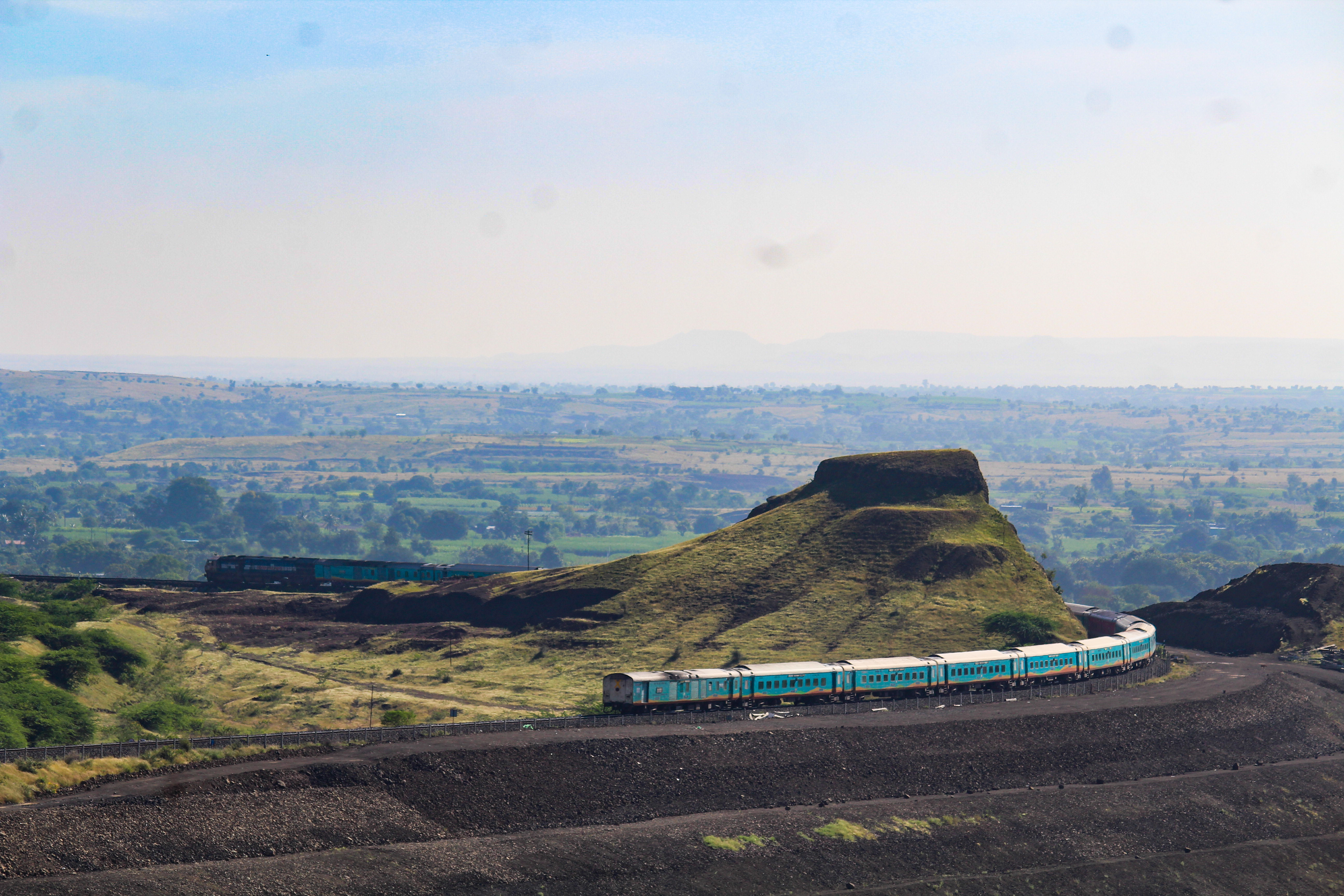
Humsafar swings Kati Pahadi

Near cane farming

Cane farming

With my inlaw's farm
Topographic Map of Diskal, Maharashtra, India
Find elevation by address:

Places near Diskal, Maharashtra, India:
Lalagun
Mol
Chinchani
Pangarkhel
Navalewadi
Garavadi
Budh
Nagnathawadi
Manjarwadi
Rajapur
Tathavada
Veloshi
Tardaf
Korhale
Zadakbaichiwadi
Rui
Dhawal
Upalve
Mirewadi
Aljapur
Recent Searches:
- Elevation of Corso Fratelli Cairoli, 35, Macerata MC, Italy
- Elevation of Tallevast Rd, Sarasota, FL, USA
- Elevation of 4th St E, Sonoma, CA, USA
- Elevation of Black Hollow Rd, Pennsdale, PA, USA
- Elevation of Oakland Ave, Williamsport, PA, USA
- Elevation of Pedrógão Grande, Portugal
- Elevation of Klee Dr, Martinsburg, WV, USA
- Elevation of Via Roma, Pieranica CR, Italy
- Elevation of Tavkvetili Mountain, Georgia
- Elevation of Hartfords Bluff Cir, Mt Pleasant, SC, USA