Elevation of Dishon, Israel
Location: Israel > North District > Tzfat >
Longitude: 35.517572
Latitude: 33.082318
Elevation: 435m / 1427feet
Barometric Pressure: 96KPa
Elevation Map:
Satellite Map:
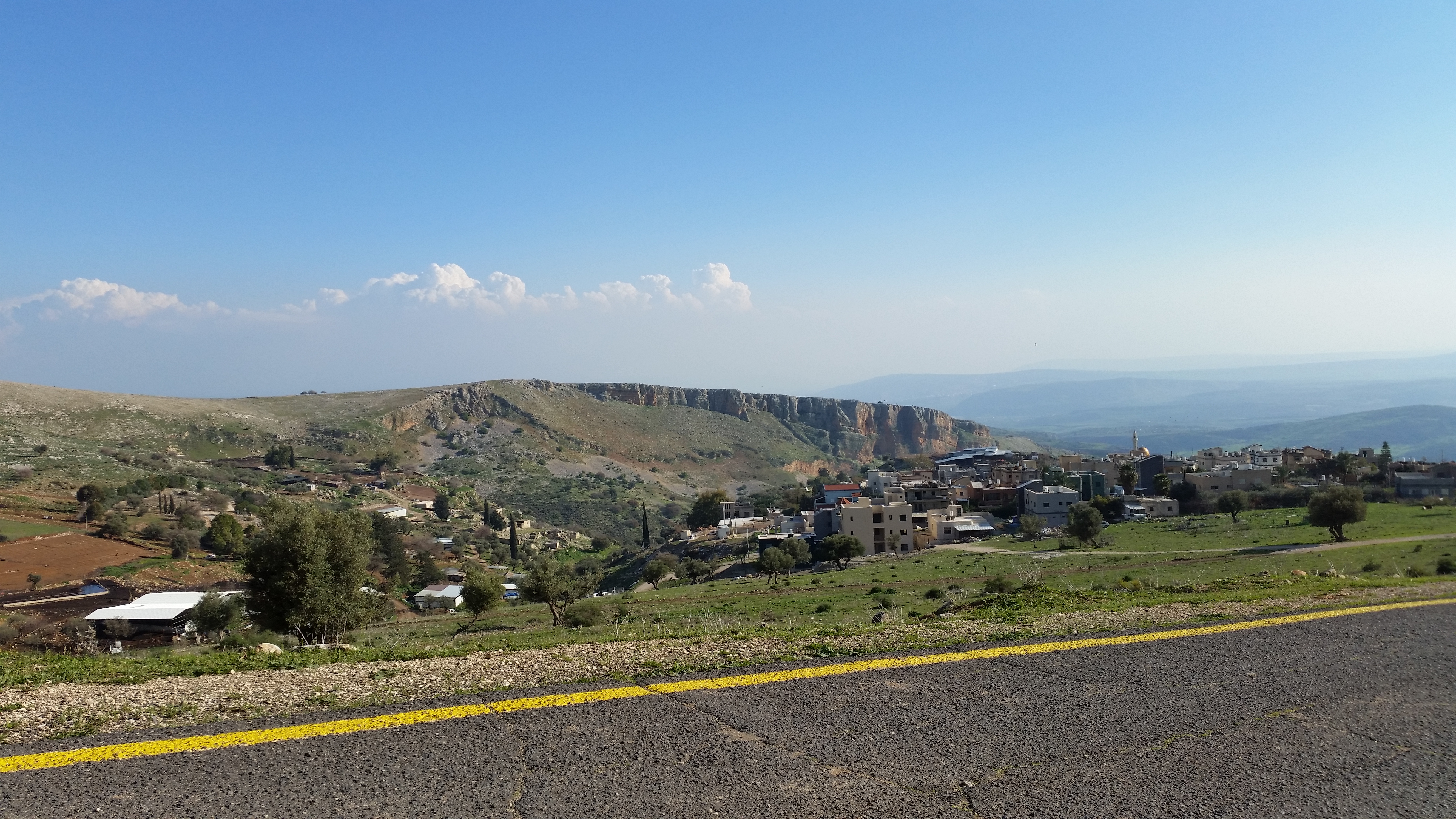
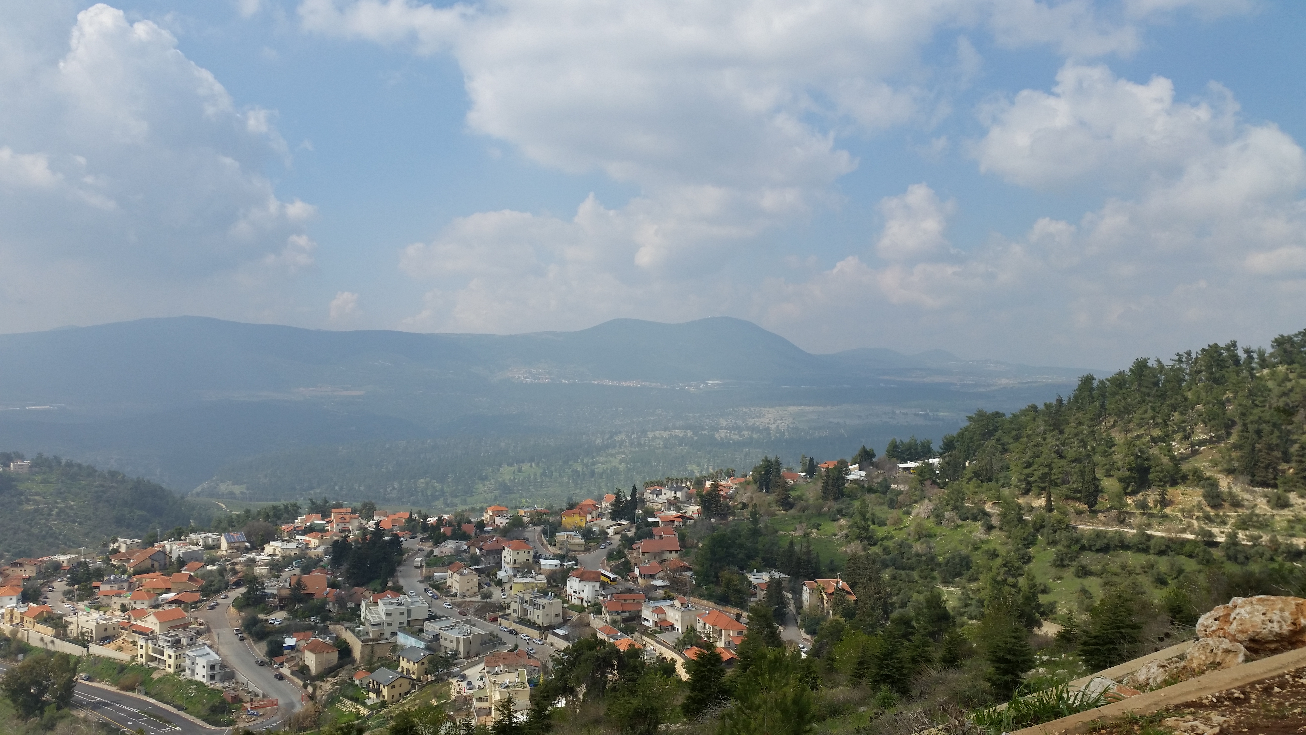
Related Photos:
Hahula Pano

Mt. Hermon with Snow

Nimrod menorah

View from Nimrod Lookout
Looking out from Nimrod Lookout

Driving in Golan View

Misty lake view

From a point of view of an ant!
Agamon view

View From Mount Adir

Nimrod Lookout

artist quarters

Memorial Site for Nimrod

View From Mount Adir

Mishmar Ha Yarden. South of former Lake Huleh (Meron) showing former French frontier post (J'sr Banat Ya'qub) at the Jordan

Jordan river valley view from the Golan Heights

View to the North from Safed

Army Bridge

View from the citadel.

Ethiopian Absorption Center

Hula National Park

Holy land fields

Hula Valley

Morning Fog!

Before the Storm

Butterfly - Park HaHula פרפר - אגמון החולה
Mountain Above the Kibbutz
.
.

Hula Valley Nature Reserve

Travel Pedestrian Bridge

Colors and layers!

more of the same

Darkened hills

The Sun Sets

Hula-0314-20120318.jpg

Hula Nature Reserve שמורת טבע חולה
Topographic Map of Dishon, Israel
Find elevation by address:

Places near Dishon, Israel:
Tzfat
Dalton
Hula Nature Reserve
Eye Banbury
Tel Hazor National Park - גן לאומי תל חצור-כולל מוזיאון
Tel Hazor National Park
Ma'ayan Ein Gever
Bat-ya'ar Farm
Emek Hulah
Bint Jbeil
Har No`azim
Hula Valley
Merom Hagalil
Rosh Pinna
Manara
Manara Cliff - Upper"
Safed
Gadot
Mount Meron
Ein Zeved
Recent Searches:
- Elevation of Corso Fratelli Cairoli, 35, Macerata MC, Italy
- Elevation of Tallevast Rd, Sarasota, FL, USA
- Elevation of 4th St E, Sonoma, CA, USA
- Elevation of Black Hollow Rd, Pennsdale, PA, USA
- Elevation of Oakland Ave, Williamsport, PA, USA
- Elevation of Pedrógão Grande, Portugal
- Elevation of Klee Dr, Martinsburg, WV, USA
- Elevation of Via Roma, Pieranica CR, Italy
- Elevation of Tavkvetili Mountain, Georgia
- Elevation of Hartfords Bluff Cir, Mt Pleasant, SC, USA