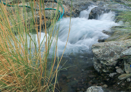
Elevation of Dima Wattayeen, Oman
Location: Oman > Ash Sharqiyah North Governorate >
Longitude: 58.5086818
Latitude: 23.0026623
Elevation: 943m / 3094feet
Barometric Pressure: 90KPa
Related Photos:
Topographic Map of Dima Wattayeen, Oman
Find elevation by address:

Places near Dima Wattayeen, Oman:
Ibra
Ash Sharqiyah North Governorate
Al Jarda
Wadi Hatat
Al Amerat Cricket Ground Oman Cricket (ministry Turf)
Jebel Sifah
Al Amarat
Al Qabil
Sifa Beach
Al Mudaybi
Jabreen Complex
Al Ghubrah South
Al Khuwayr South
Muscat
Muscat Governorate
Al Khuwair Street
Madinat As Sultan Qaboos
Street 15
As Sultan Qaboos Port
Port Of Sultan Qaboos Psq
Recent Searches:
- Elevation of Corso Fratelli Cairoli, 35, Macerata MC, Italy
- Elevation of Tallevast Rd, Sarasota, FL, USA
- Elevation of 4th St E, Sonoma, CA, USA
- Elevation of Black Hollow Rd, Pennsdale, PA, USA
- Elevation of Oakland Ave, Williamsport, PA, USA
- Elevation of Pedrógão Grande, Portugal
- Elevation of Klee Dr, Martinsburg, WV, USA
- Elevation of Via Roma, Pieranica CR, Italy
- Elevation of Tavkvetili Mountain, Georgia
- Elevation of Hartfords Bluff Cir, Mt Pleasant, SC, USA


