Elevation of Dillon Cone, Canterbury, New Zealand
Location: New Zealand > Marlborough > Clarence >
Longitude: 173.224166
Latitude: -42.271666
Elevation: 1618m / 5308feet
Barometric Pressure: 83KPa
Elevation Map:
Satellite Map:
Related Photos:
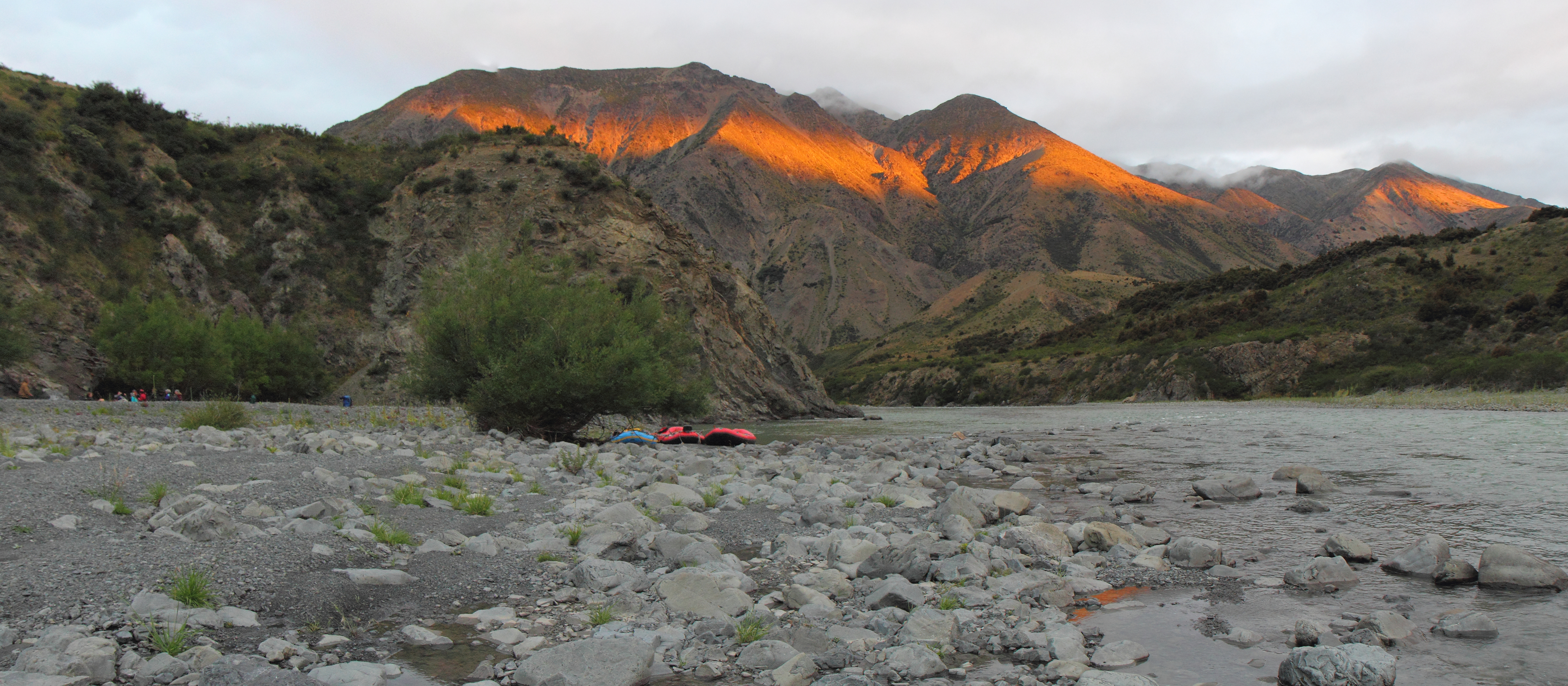
Sunset at Rough Creek campsite, Clarence River valley
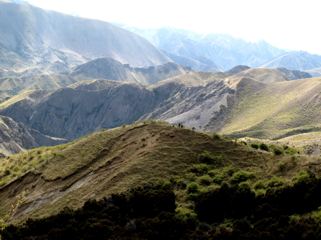
Clarence Reserve.
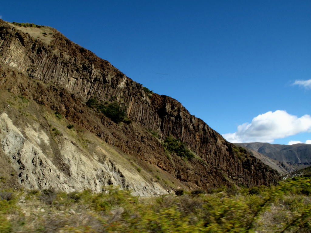
Volcanics near Seymour Stream
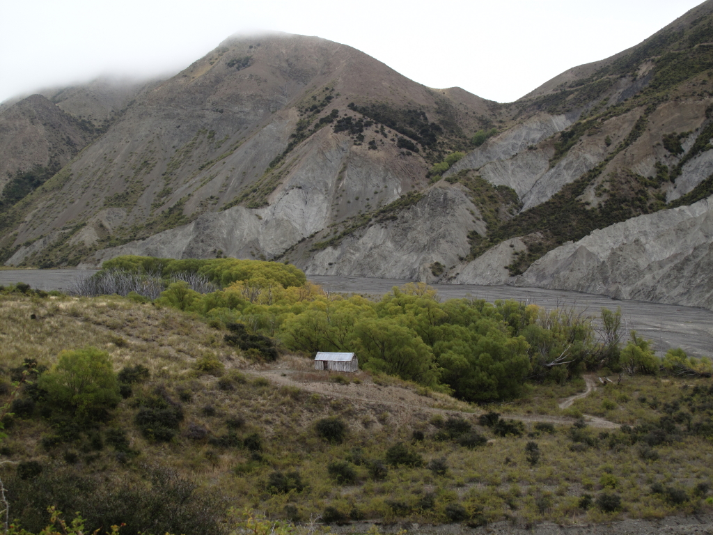
old willows hut
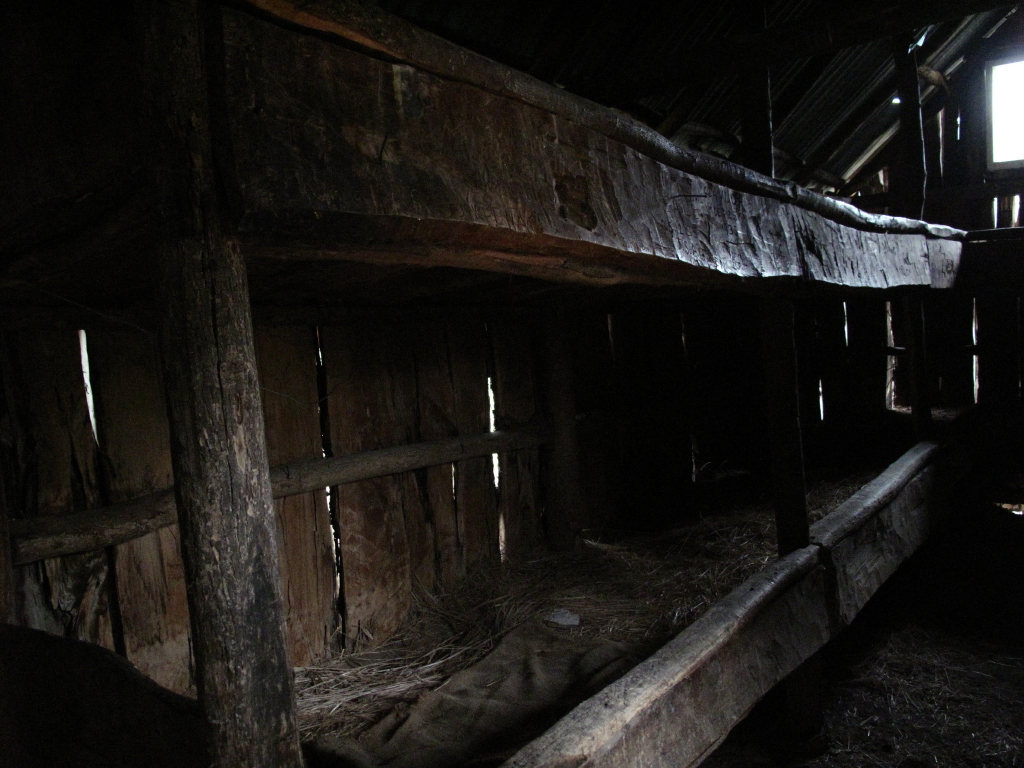
Bunks in the old willows musterers hut , Clarence Reserve.
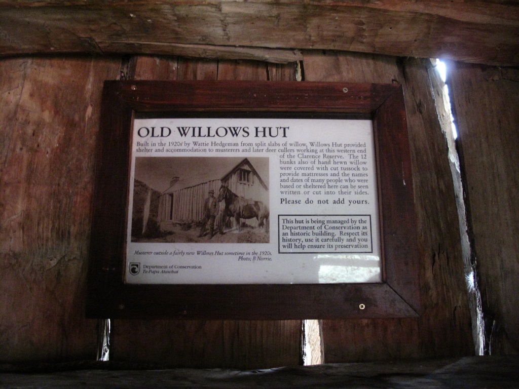
old willows musterers hut , Clarence Reserve.
Other side empty too

Jon on the Molesworth
Topographic Map of Dillon Cone, Canterbury, New Zealand
Find elevation by address:

Places near Dillon Cone, Canterbury, New Zealand:
Mt Lyford Alpine Resort
Stag And Spey
Lyford
Kaikoura District
Hundalee Road
341 Hundalee Road
Ferniehurst
Hundalee
Manakau
Mangamaunu
51 Deer Park Road
Cheviot
Recent Searches:
- Elevation of Corso Fratelli Cairoli, 35, Macerata MC, Italy
- Elevation of Tallevast Rd, Sarasota, FL, USA
- Elevation of 4th St E, Sonoma, CA, USA
- Elevation of Black Hollow Rd, Pennsdale, PA, USA
- Elevation of Oakland Ave, Williamsport, PA, USA
- Elevation of Pedrógão Grande, Portugal
- Elevation of Klee Dr, Martinsburg, WV, USA
- Elevation of Via Roma, Pieranica CR, Italy
- Elevation of Tavkvetili Mountain, Georgia
- Elevation of Hartfords Bluff Cir, Mt Pleasant, SC, USA