Elevation of Dillendorf, Germany

Location: Germany > Rhineland-palatinate >

Longitude: 7.3833144

Latitude: 49.9249814

Elevation: 344m / 1129feet

Barometric Pressure: 97KPa

Elevation Map:

elevation map of Dillendorf, Germany

Satellite Map:

Satellite map of Dillendorf, Germany

Related Photos:

pictures sky color green yellow composition germany landscape deutschland focus flickr fuji foto view image wind photos pics picture pic images alemania fujifilm fotografia capture landschaft windrad imagen windenergie fujifilmxpro1 fujinonxf1855mm tresmariasinpie
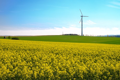
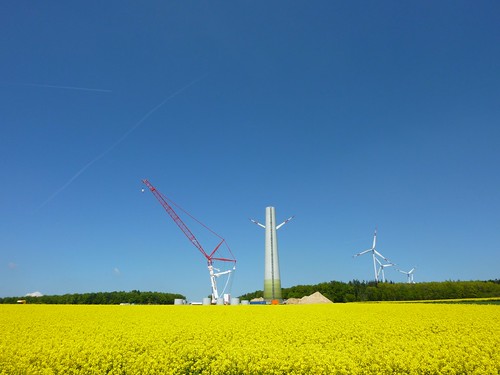
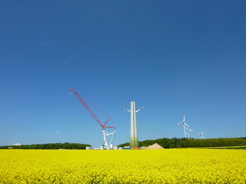
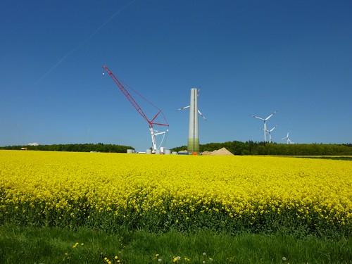
"Rapsfeld" near the airbase Hahn, Germany
trees windows summer sun reflection history water pool weather architecture buildings germany landscape town europe sunny places oldbuildings flags elements flagpole rhinelandpalatinate simmern
Simmern 23 July 2014-0008.jpg
pictures flowers urban sunlight flores train germany landscape deutschland photo focus scenery flickr fuji foto view image photos pics picture eisenbahn pic images fotos alemania fujifilm fotografia landschaft imagen löwenzahn xpro1 stillgelegtebahnstrecke fujifilmxpro1 fujinonxf1855mm tresmariasinpie
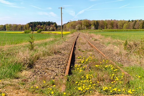
No train
art astro attraction beauty blue colours dark dusk faith fantastic forest germany heaven highiso hunsrueck life light longexposure meteorites milkyway naturallight naturalphenomenon naturalworld nature naturephotograph night old outdoor peace purple quiet rhinelandpalatinate shadow silence sky spectacle splendid sprawling spring stars theinfinity illerich rheinlandpfalz deutschland
the Infinity
trees architecture forest 35mm germany deutschland europa europe hills wald bäume rlp rheinlandpfalz hügel kirn rhinelandpalatinate nahetal naheland nikond7100 ivvymillion
hospital views
germany geotagged deutschland europa europe whiskey finepix alemania whisky fujifilm 2008 allemagne deu germania singlemalt rheinlandpfalz kirn e900 finepixe900 kyrburg whiskymuseum hennweiler kirn2008 sralf72 kallenfels
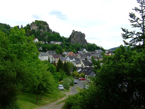
Blick auf Kallenfels, View at Kallenfels
Motorradtour_Rhein_2010 - 59
sun tree field grass sunrise canon counter s100
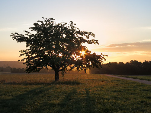
Sunrise in the field
Motorradtour_Rhein_2010 - 58
trail wandern saar deutsche steig edelstein herrstein hochwald bachweg starse mittelalterpfad hunsück premiumwandern
Mittelalterpfad 144/365
Motorradtour_Rhein_2010 - 57
landscape himmel zaun wasserturm kirchberg hunsrück nex5r sel20f28
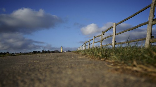
Kirchberg Hunsrück
landscape hdr windkraft hunsrück
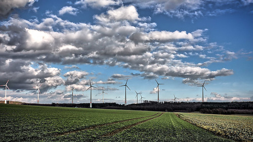
Green Power
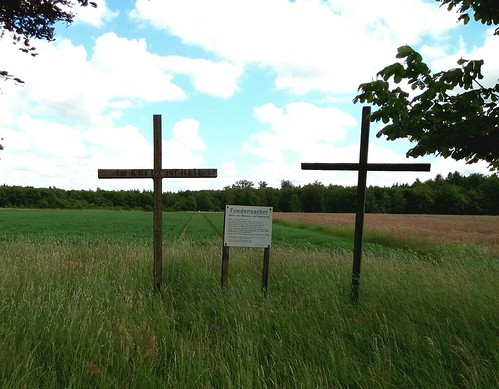
Friedensacker bei Bell
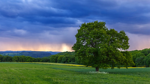
krone warm natur wiese himmel wolken gras grün blitz landschaft blätter weite gewitter baum regen horizont rasen frühling idylle heiss unwetter ferne ruhe
Frühlingsgewitter
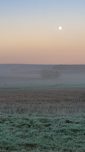
moon de deutschland morgen rheinlandpfalz sulzbach hunsrück
151127-0031.jpg
Motorradtour_Rhein_2010 - 63
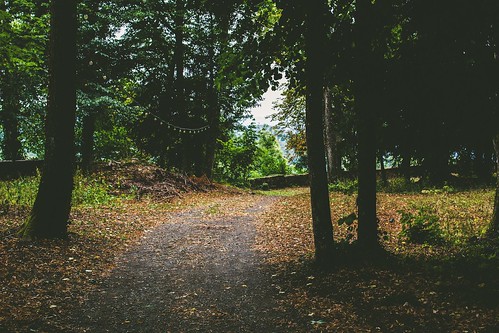
autumn fall nature 35mm germany deutschland countryside europa europe path herbst rlp rheinlandpfalz rhinelandpalatinate nahetal naheland dhaun kellenbachtal schlossdhaun nikond7100 ivvymillion
i'm not the type to say i told you so
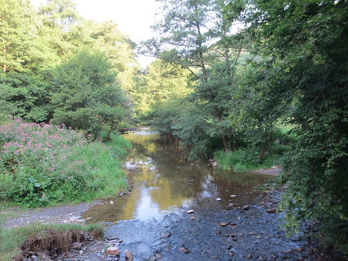
Hahnenbachfurt beim "Forellenhof"
blur sommer natur sonne wald baum frühling verschwommen maserung
Partly Blurry
blur sommer natur fluss sonne wald baum rinde verschwommen maserung
Partly Blurry