Elevation of Dili, Timor-Leste
Location: Timor-leste >
Longitude: 125.587669
Latitude: -8.2449613
Elevation: 307m / 1007feet
Barometric Pressure: 98KPa
Elevation Map:
Satellite Map:
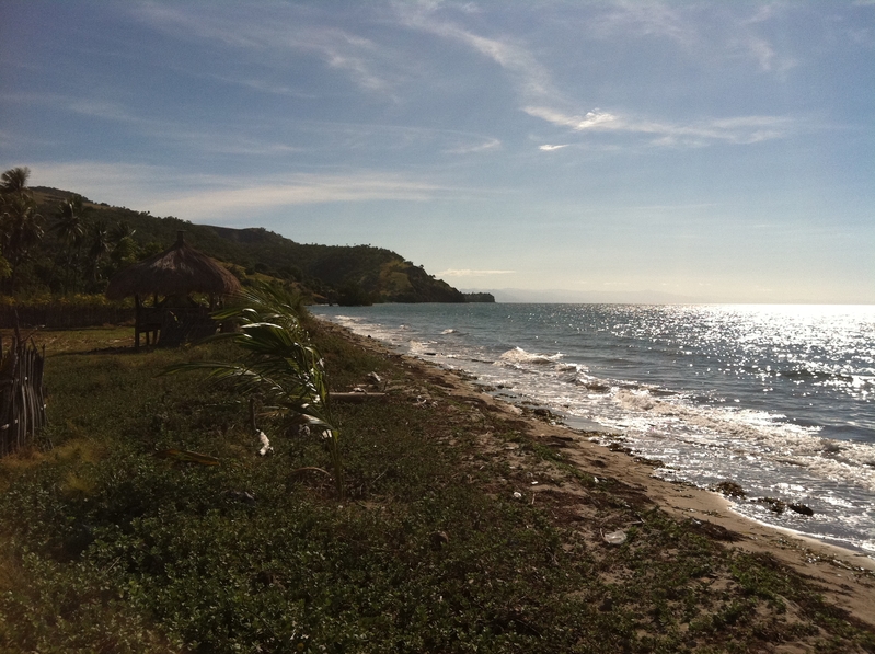
Related Photos:

Atauro View From Ferry

Atauro Paradise

Moon set, early morning fisherman

Praia de Beloi

Atauro Island

Atauro Island

Dawn in Atauro

A hora do regresso está perto

Morning sea "shower"

Toward Atauro Island
Atauro Island
Topographic Map of Dili, Timor-Leste
Find elevation by address:

Places in Dili, Timor-Leste:
Recent Searches:
- Elevation of Corso Fratelli Cairoli, 35, Macerata MC, Italy
- Elevation of Tallevast Rd, Sarasota, FL, USA
- Elevation of 4th St E, Sonoma, CA, USA
- Elevation of Black Hollow Rd, Pennsdale, PA, USA
- Elevation of Oakland Ave, Williamsport, PA, USA
- Elevation of Pedrógão Grande, Portugal
- Elevation of Klee Dr, Martinsburg, WV, USA
- Elevation of Via Roma, Pieranica CR, Italy
- Elevation of Tavkvetili Mountain, Georgia
- Elevation of Hartfords Bluff Cir, Mt Pleasant, SC, USA