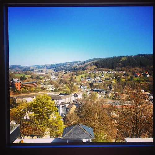
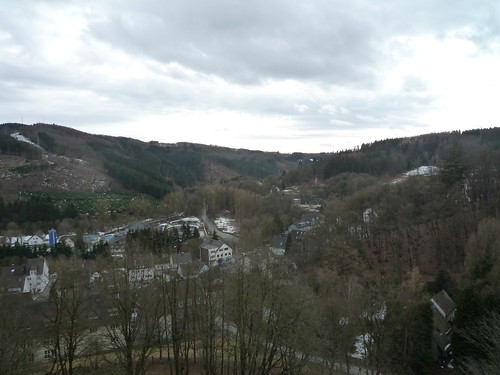
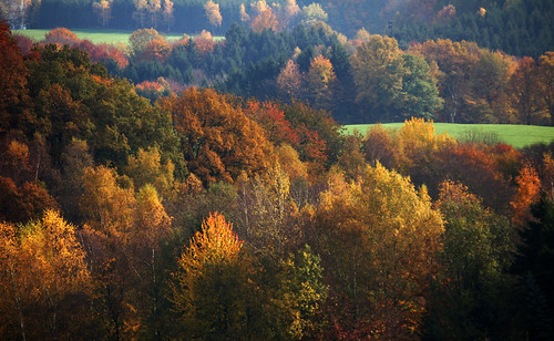
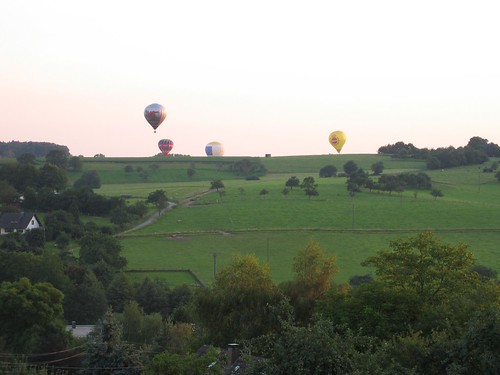
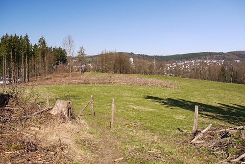
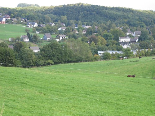
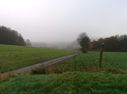
Elevation of Dieringhausen, Germany
Location: Germany > North Rhine-westphalia > Cologne >
Longitude: 7.52688190
Latitude: 50.9829226
Elevation: 171m / 561feet
Barometric Pressure: 99KPa
Related Photos:
Topographic Map of Dieringhausen, Germany
Find elevation by address:

Places near Dieringhausen, Germany:
Burbachstraße 32, Gummersbach, Germany
Lobscheid
Lambachtalstraße 9, Engelskirchen, Germany
Oesinghausen
Gasthaus Zum Lambachtal
Strombach
279b
Niederseßmar
Gummersbach
Herreshagen
Tiefentaler Weg 2, Gummersbach, Germany
Am Lepperberg 24
Alte Landstraße 3, Gummersbach, Germany
Jedinghagen
Elbach
Niedernhagen
Steinbruch Talbecke
Becke
Marienheide
Engelskirchen
Recent Searches:
- Elevation of Corso Fratelli Cairoli, 35, Macerata MC, Italy
- Elevation of Tallevast Rd, Sarasota, FL, USA
- Elevation of 4th St E, Sonoma, CA, USA
- Elevation of Black Hollow Rd, Pennsdale, PA, USA
- Elevation of Oakland Ave, Williamsport, PA, USA
- Elevation of Pedrógão Grande, Portugal
- Elevation of Klee Dr, Martinsburg, WV, USA
- Elevation of Via Roma, Pieranica CR, Italy
- Elevation of Tavkvetili Mountain, Georgia
- Elevation of Hartfords Bluff Cir, Mt Pleasant, SC, USA
