Elevation of Dickerson Mill Rd, Moneta, VA, USA
Location: United States > Virginia > Bedford County > Lakes > Moneta >
Longitude: -79.694123
Latitude: 37.2521312
Elevation: 340m / 1115feet
Barometric Pressure: 97KPa
Elevation Map:
Satellite Map:
Related Photos:

611 Crossing Falling Creek; Hardy, VA

2019 04-20 1202-7 UP-CNW SD70ACe-1995 E/B 188 Thaxton, VA

2019 04-20 1202-4 UP-CNW SD70ACe-1995 E/B 188 Thaxton, VA
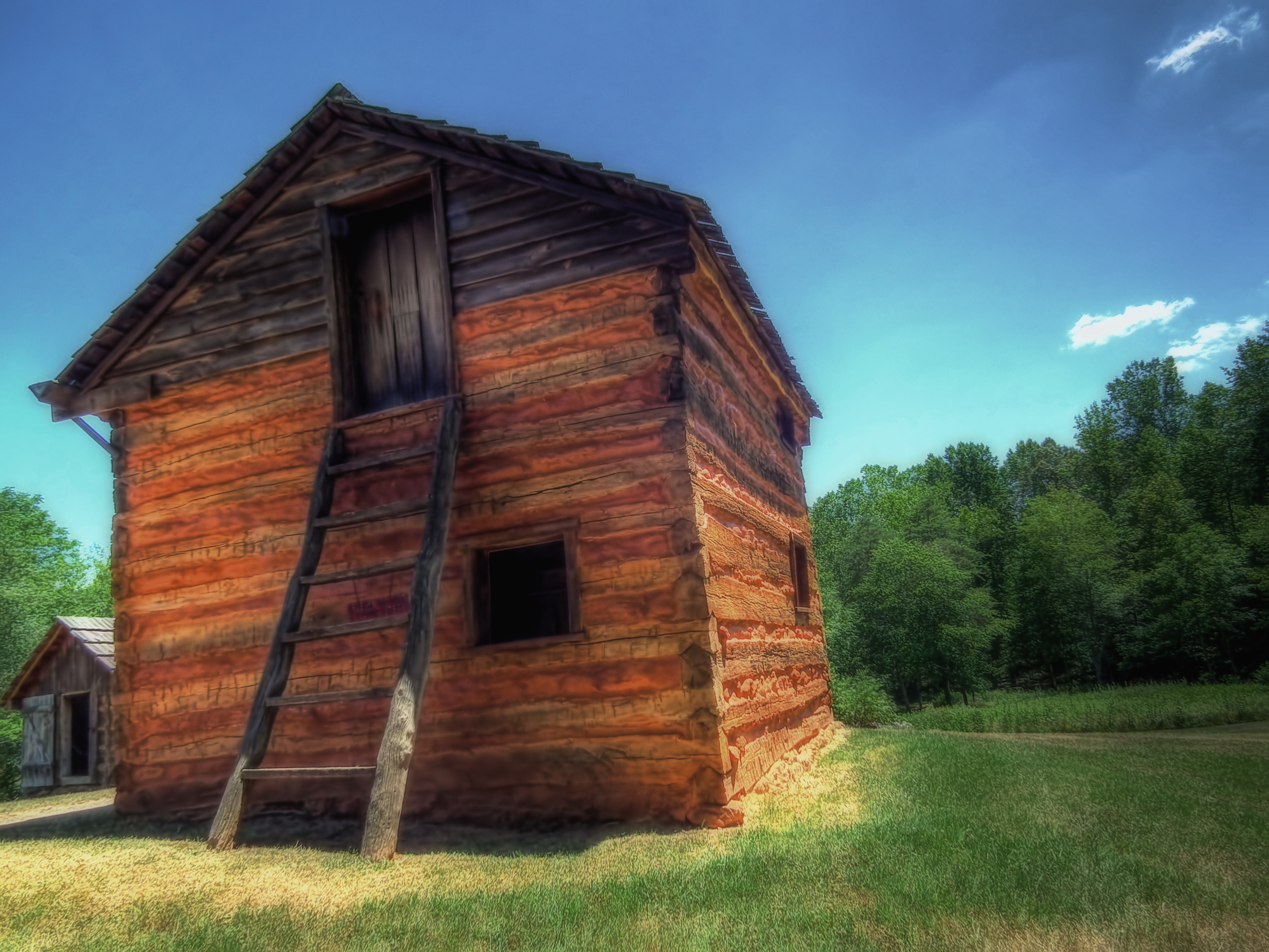
Reconstructed Slave Cabin

view inside the old Promise Land School, Bedford County, Virginia

view inside the old Promise Land School, Bedford County, Virginia

view inside the old Promise Land School, Bedford County, Virginia

view inside the old Promise Land School, Bedford County, Virginia

view inside the old Promise Land School, Bedford County, Virginia

A Field of Susans 2

Fall in Virginia 2008

Beets and Cold Water

The Potter

Scarecrow Fence

Day 55 -- UFO?

Red Jungle

Blacksmith Shop

A Field of Susans
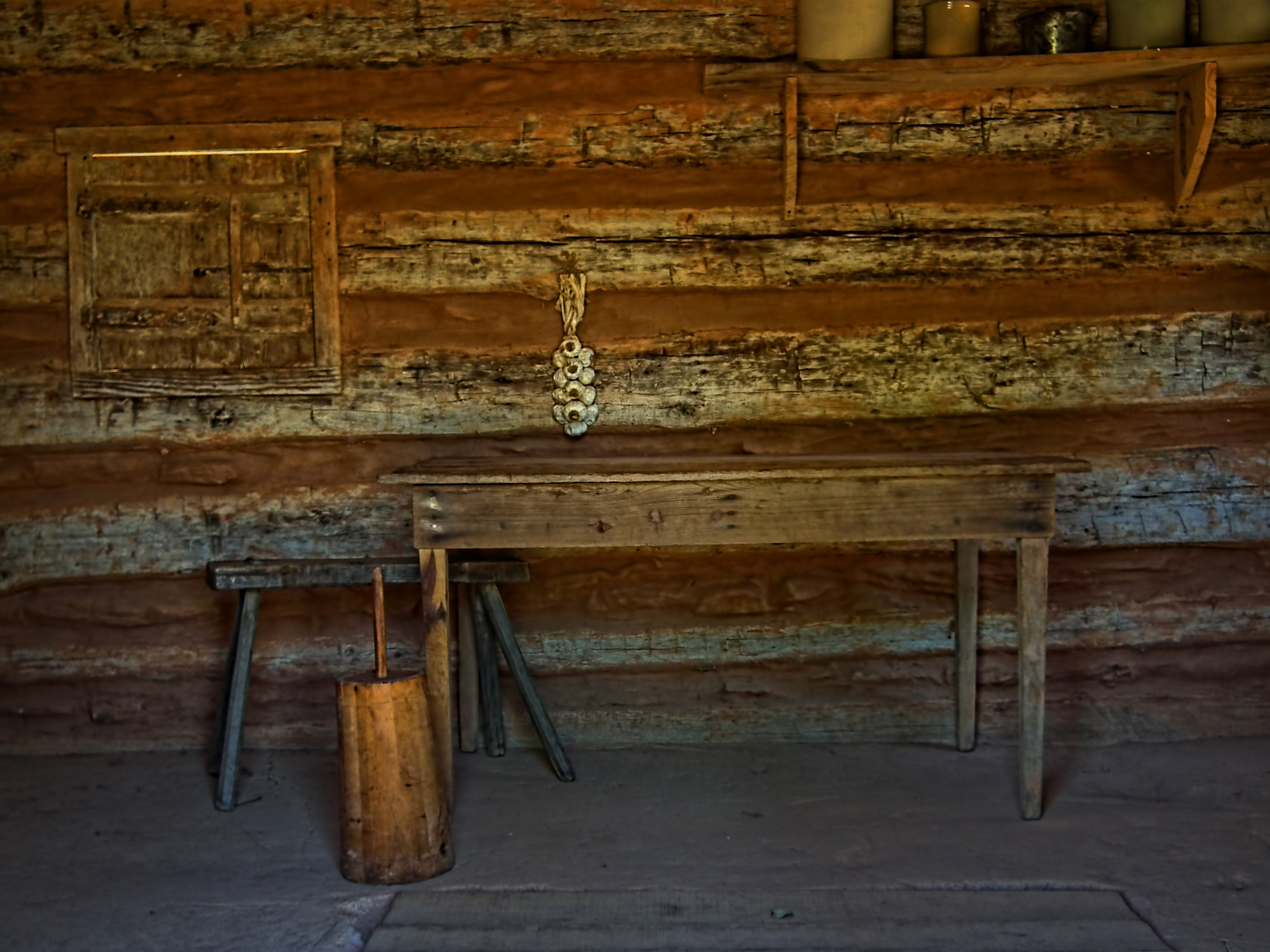
Table and Churn

Tobacco Field

Curing Tobacco

Down the Lazy River

Franklin County Sunset

Diesel Ducy at Smith Mountain Lake
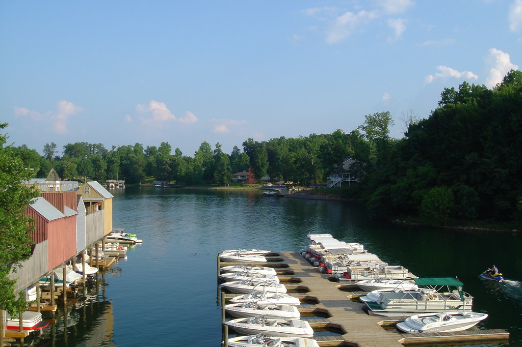
Smith Mountain Lake

Smith Mountain Lake

Morning fog

View from the bridge on hardy

Fog Below

Golden hair

Sun&Clouds

Smith Mountain Lake

Make Hay...

2018.10.20.2891 Roanoke River Gorge Under Three-Quarter Moon

Whatta Sky
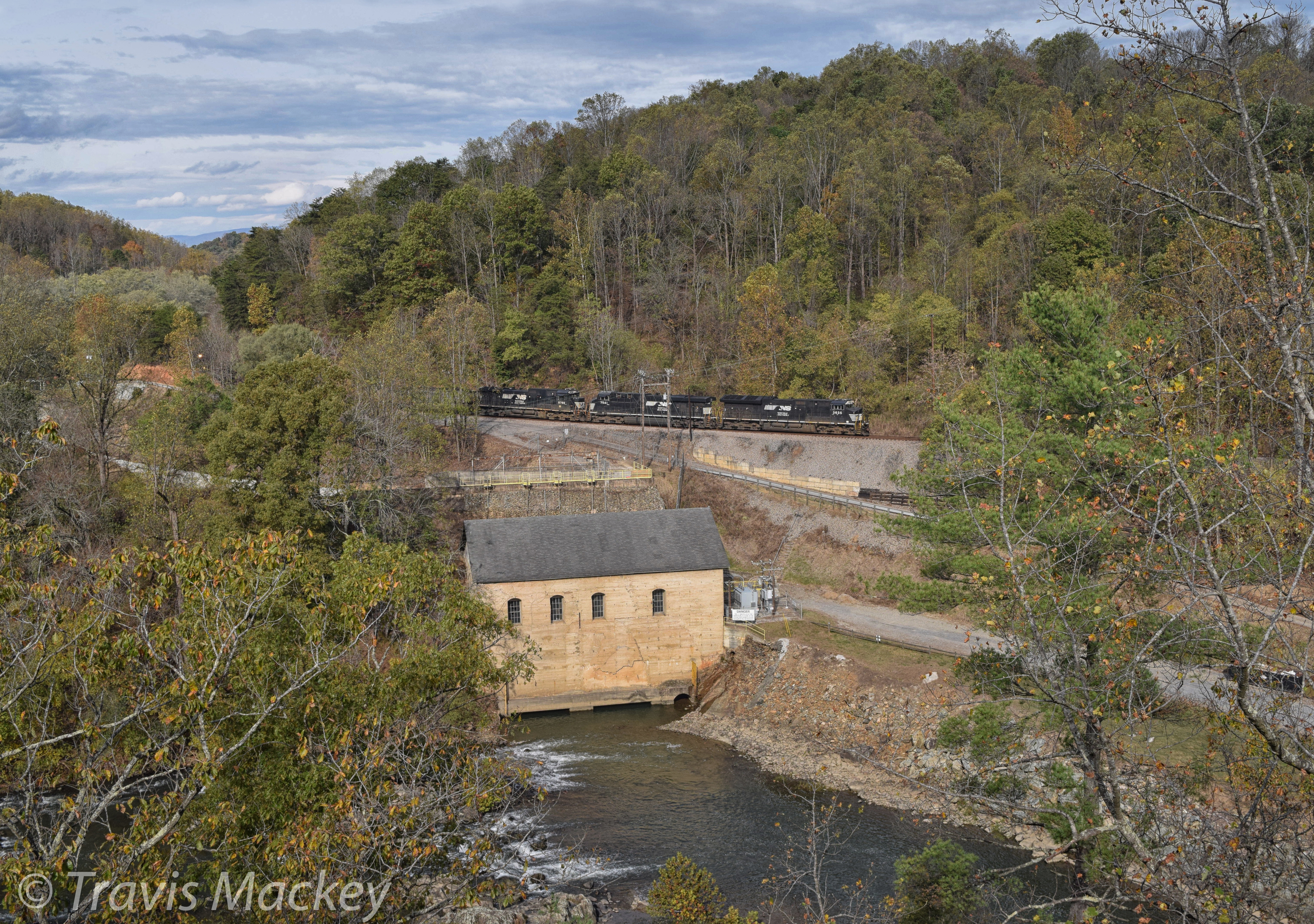
NS 820 at Blue Ridge PKWY
Vanishing Darkness

Calm water snow scene II

Autumn's First Sunset [Explored!] - Roanoke VA Photography Terry Aldhizer

Day 84 -- Blue sunset
Topographic Map of Dickerson Mill Rd, Moneta, VA, USA
Find elevation by address:

Places near Dickerson Mill Rd, Moneta, VA, USA:
Chamblissburg
Goodview
1397 Black Feather Rd
1092 Gemstone Ln
103 Sailaway Ct
2365 Lipscomb Rd
110 Hickory Lake Ln
1068 Anna Ln
3831 Hardy Rd
1870 Turner Branch Rd
Moneta
690 Northridge Rd
Meadow Point Dr, Moneta, VA, USA
201 Oak Hollow Rd
612 Merriman Way Rd
594 Middle Valley Rd
Booker T Washington Hwy, Moneta, VA, USA
Gills Creek
Westlake Corner
708 High Point Rd
Recent Searches:
- Elevation of Corso Fratelli Cairoli, 35, Macerata MC, Italy
- Elevation of Tallevast Rd, Sarasota, FL, USA
- Elevation of 4th St E, Sonoma, CA, USA
- Elevation of Black Hollow Rd, Pennsdale, PA, USA
- Elevation of Oakland Ave, Williamsport, PA, USA
- Elevation of Pedrógão Grande, Portugal
- Elevation of Klee Dr, Martinsburg, WV, USA
- Elevation of Via Roma, Pieranica CR, Italy
- Elevation of Tavkvetili Mountain, Georgia
- Elevation of Hartfords Bluff Cir, Mt Pleasant, SC, USA