Elevation of Diana Drive, Diana Dr, Georgia, USA
Location: United States > Georgia > Union County > Blairsville >
Longitude: -84.050831
Latitude: 34.8324558
Elevation: 652m / 2139feet
Barometric Pressure: 94KPa
Elevation Map:
Satellite Map:
Related Photos:

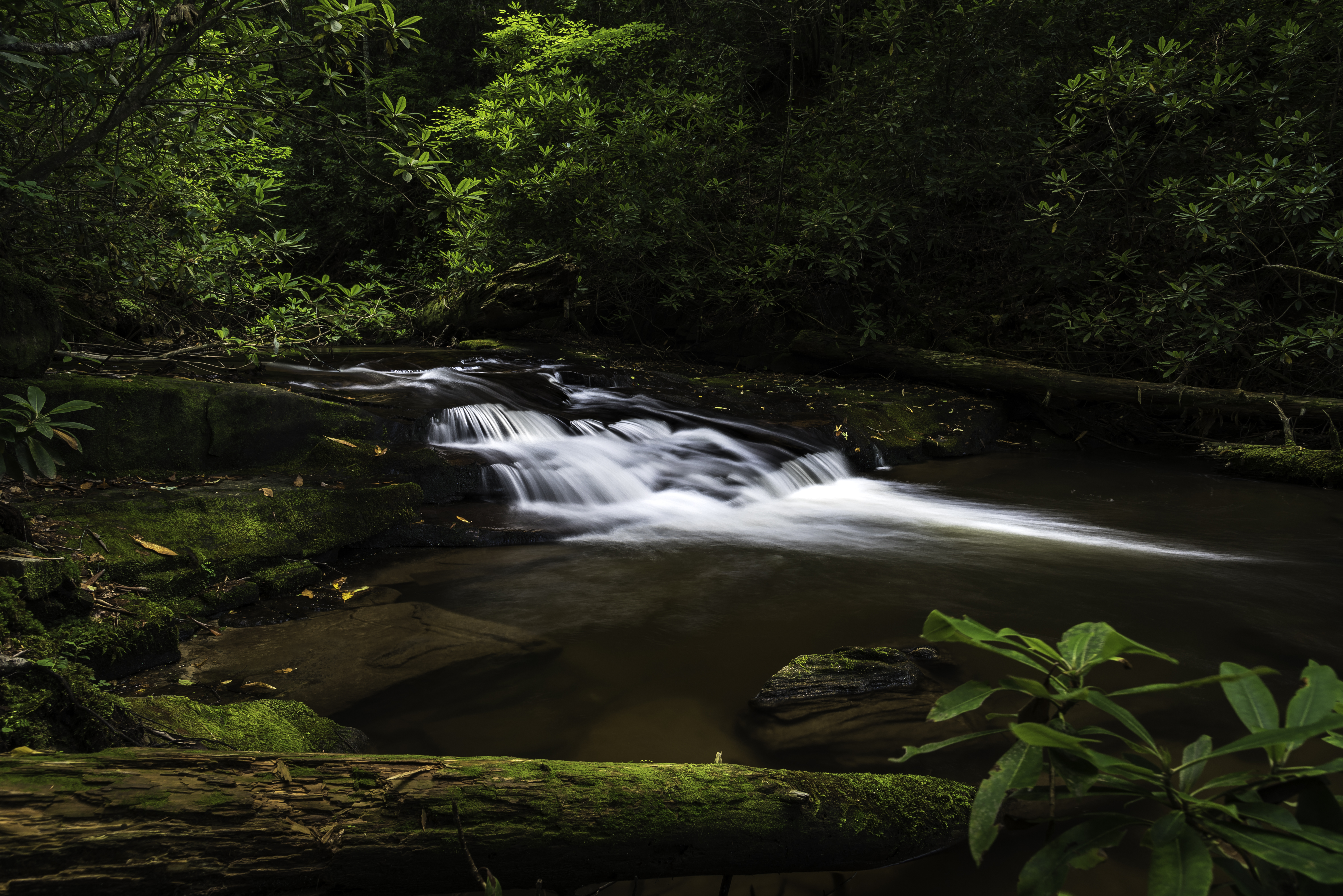
Sea Creek Falls-Toby Gant-2014
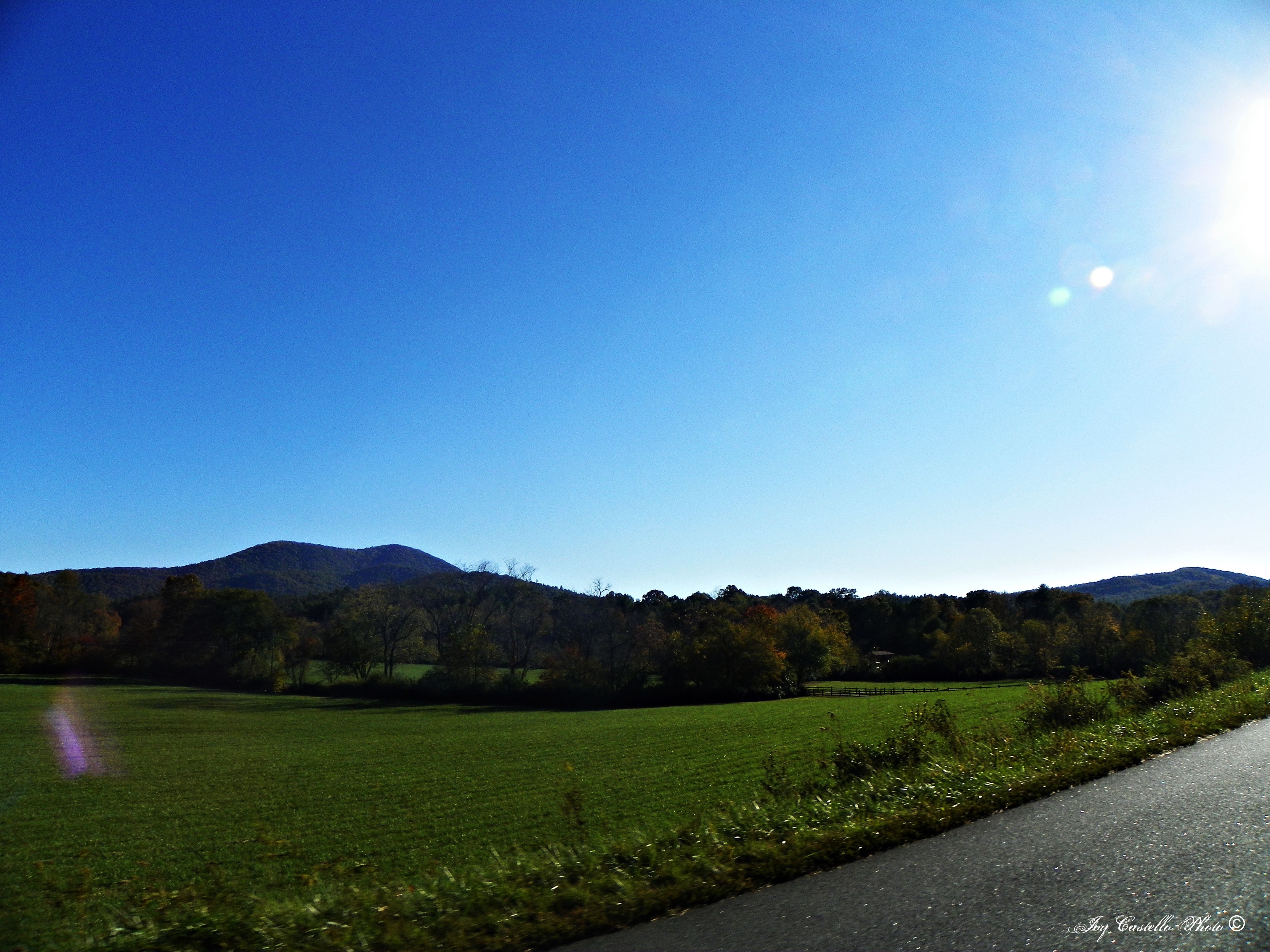
A green land
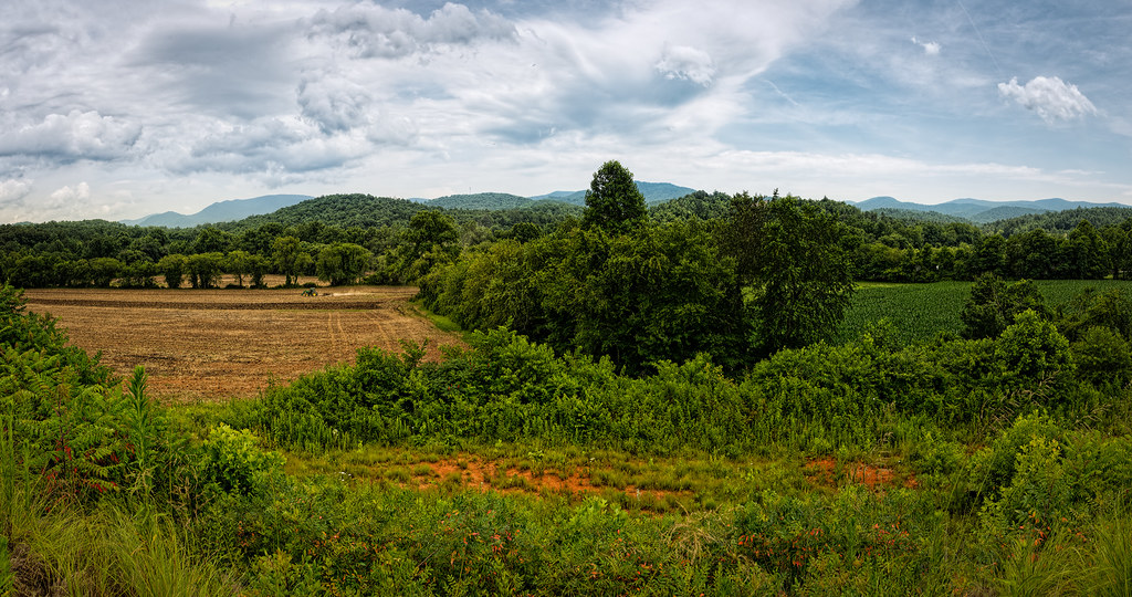
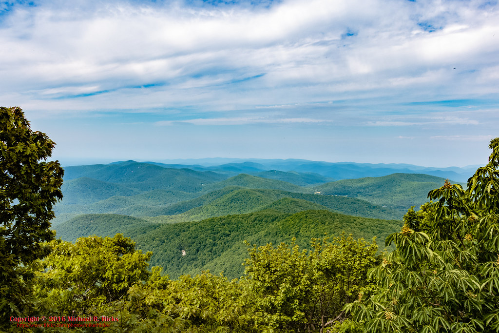
Mountains in Fannin County, Georgia

Mountain Lakes

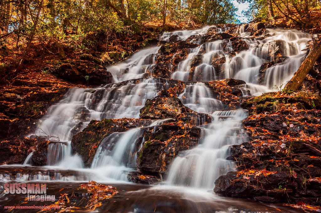
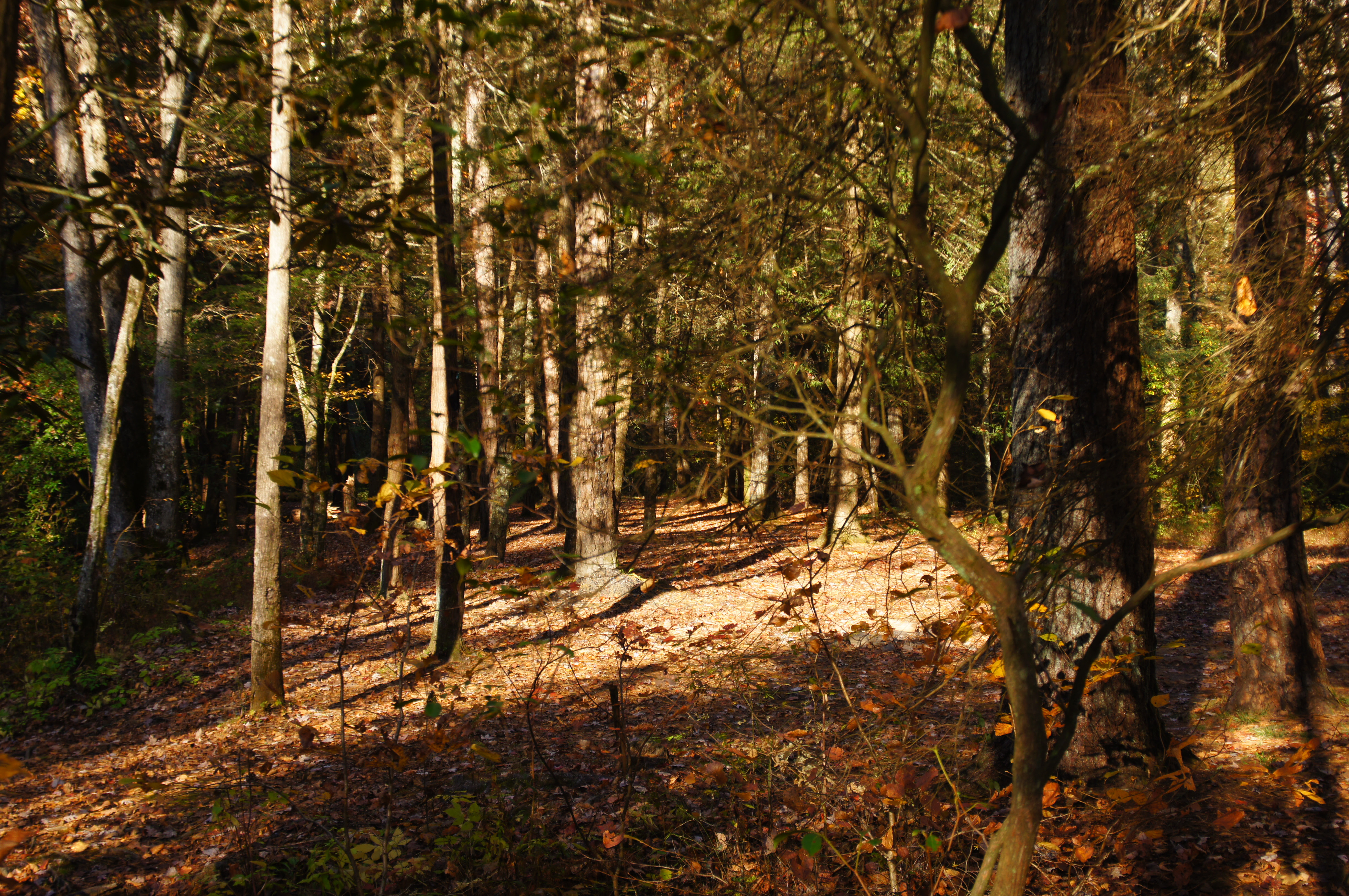
autumn's fade
Finish the plowing before it rains

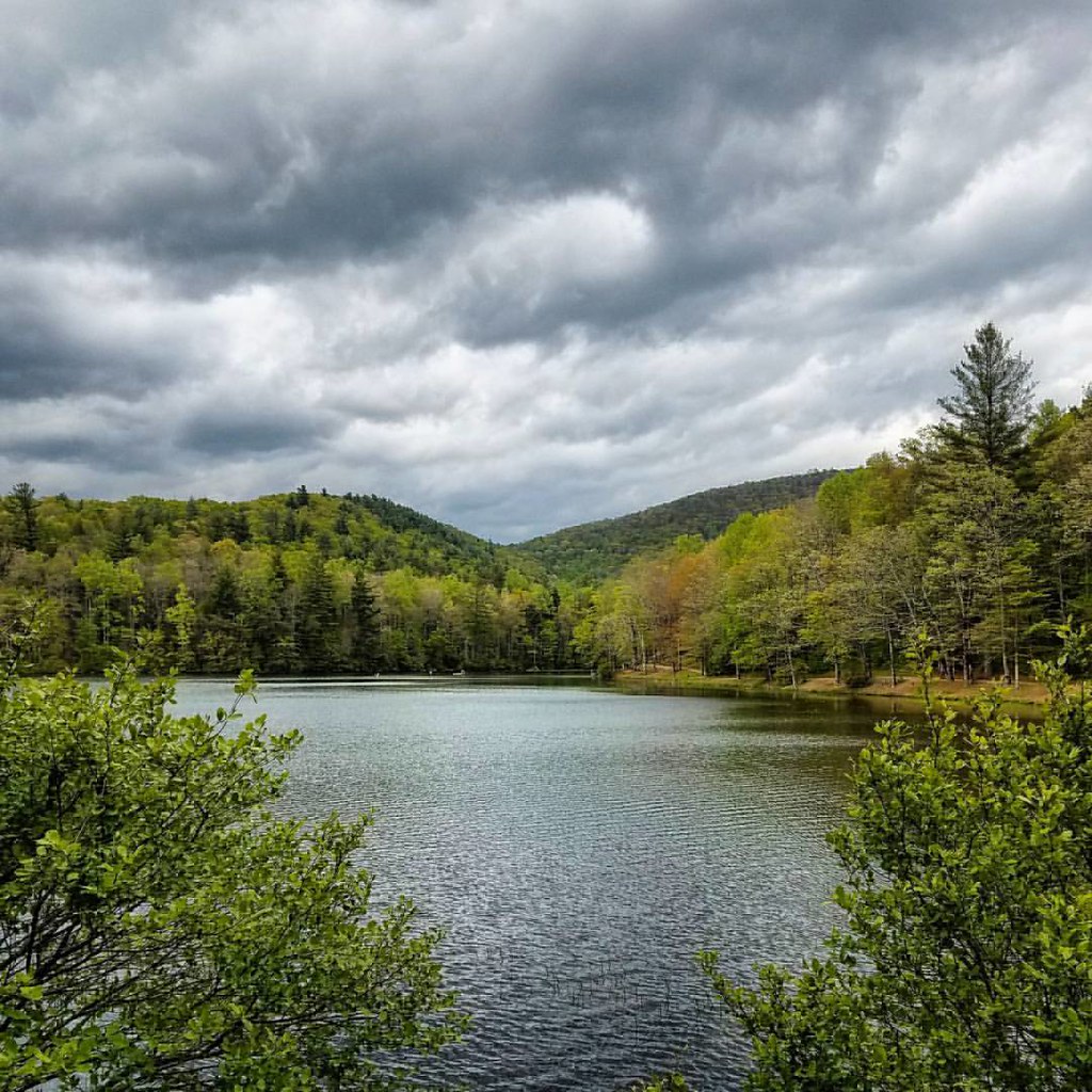
Reflections on Lake Trahlyta

#water #falls #rock #soft #vogelstatepark #mountains #camping #winter
Wolf Creek Falls
Lake Winfield Scott

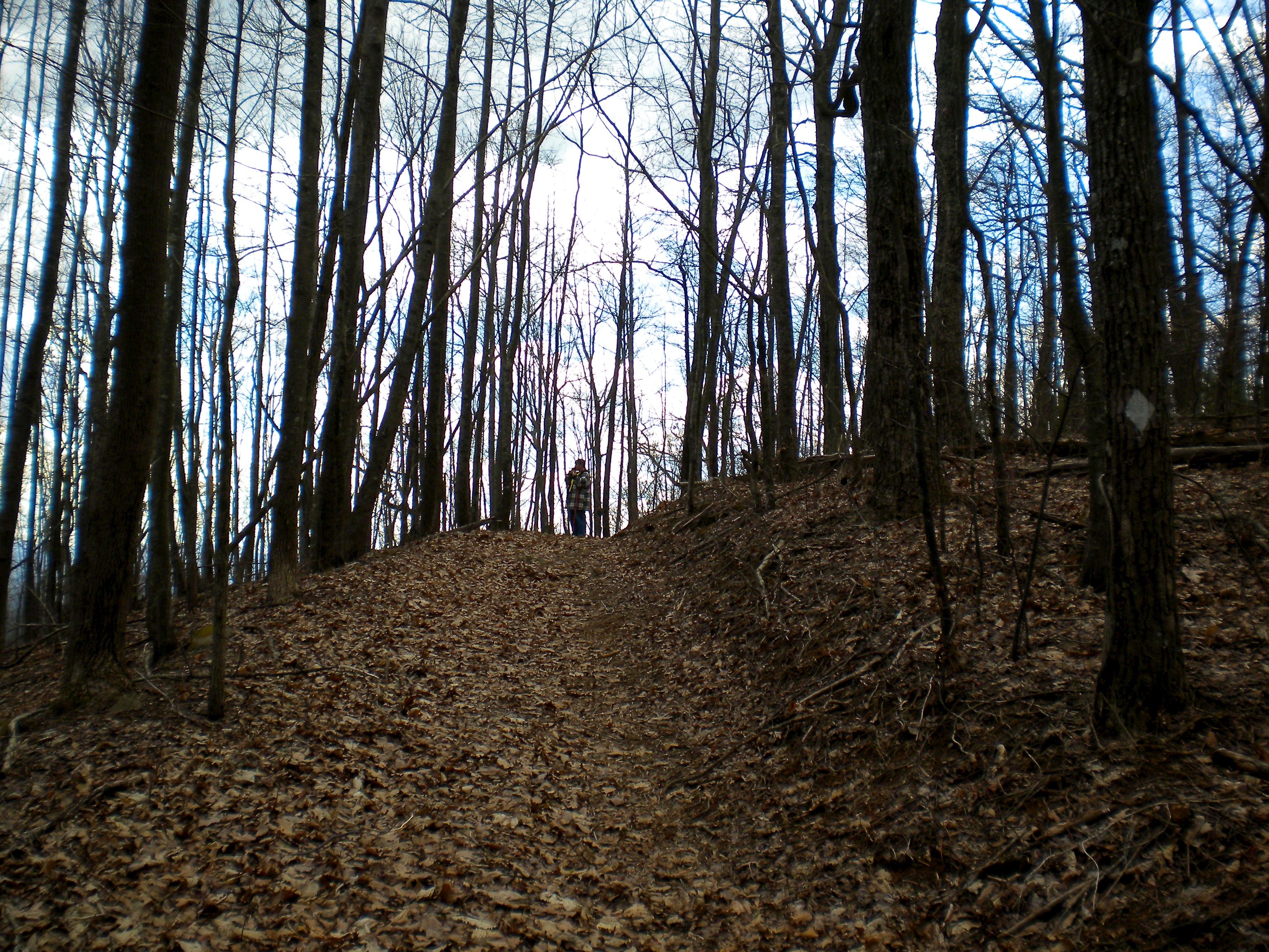
Appalachian Trail, New Year's Day

_DSC9910_edited-1.JPG
Deadennen Mtn
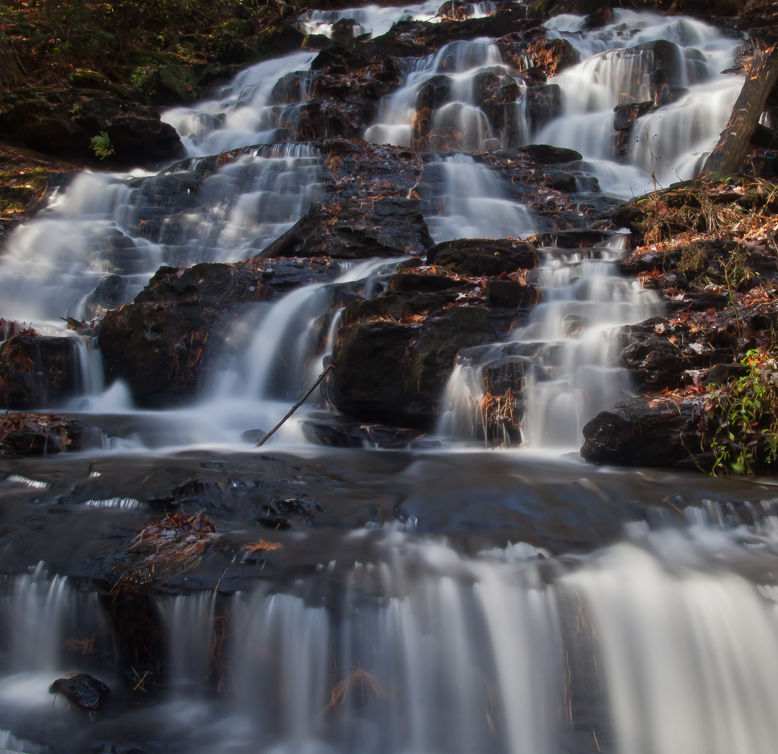
Waterfall at Lake Trahlyta

Lake Winfield Scott - instax version
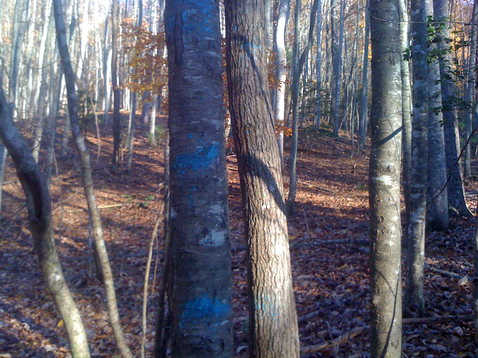
Blue Stripes
At Blood Mountain Shelter Shelter
DSC03979.JPG

Byron Reese

Camera Roll-335
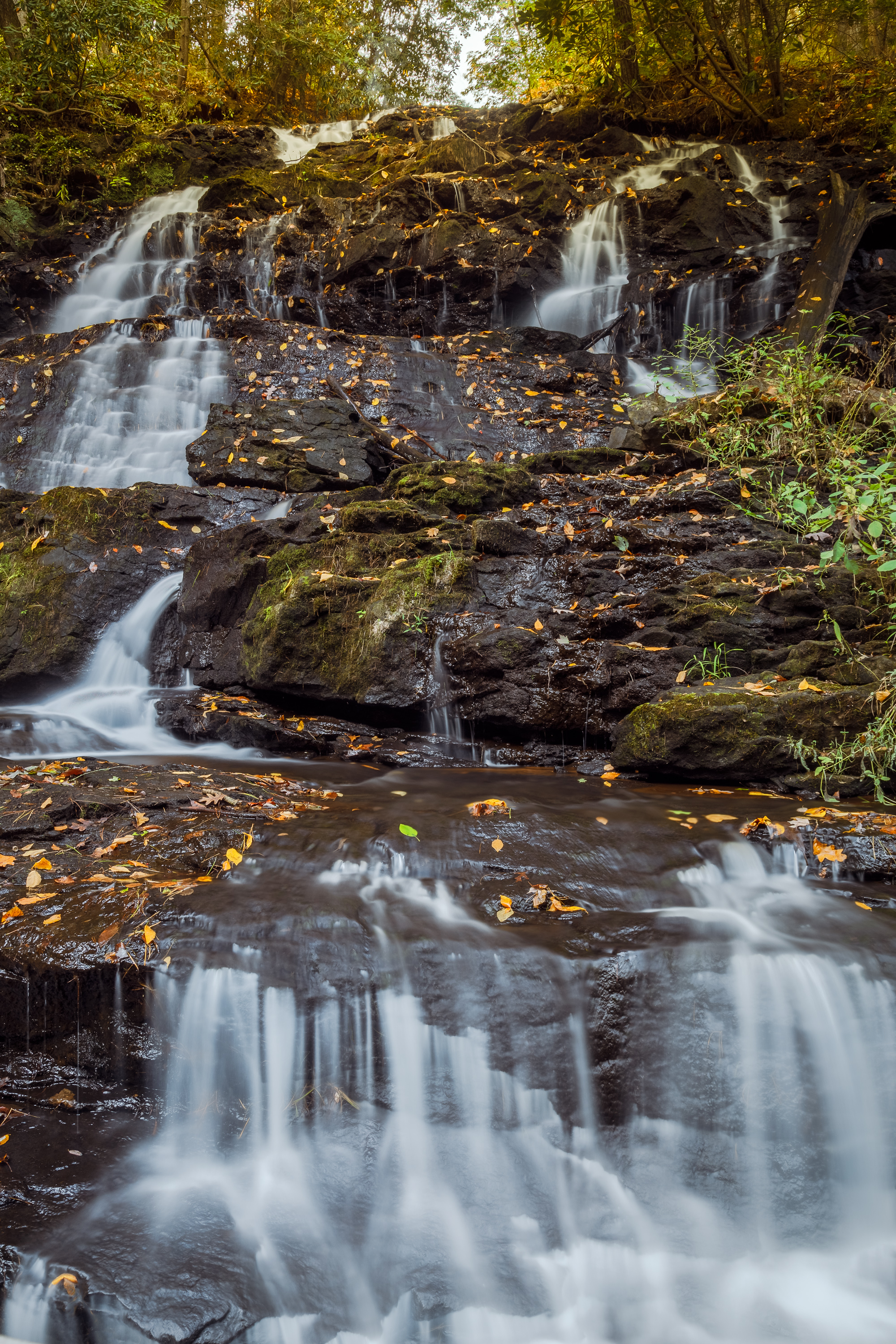
Trahlta Falls
Topographic Map of Diana Drive, Diana Dr, Georgia, USA
Find elevation by address:

Places near Diana Drive, Diana Dr, Georgia, USA:
Treetop Lane
14 Treetop Ln
122 Treetop Ln
Roberts Road
205 Roberts Rd
Blue Ridge Hwy, Blairsville, GA, USA
17 Enchanted Forest Ln
1440 Hicks Gap Rd
75 Smoke Rise Ridge
Chestnut Ridge Road
172 English Rose Ln
Smoke Rise Ridge
28 Squirrel Trail
636 Black Forest Ln
Chigger Ridge Road
131 Chigger Ridge Rd
131 Chigger Ridge Rd
131 Chigger Ridge Rd #6
131 Chigger Ridge Rd
204 Tanner Cove Rd
Recent Searches:
- Elevation of Corso Fratelli Cairoli, 35, Macerata MC, Italy
- Elevation of Tallevast Rd, Sarasota, FL, USA
- Elevation of 4th St E, Sonoma, CA, USA
- Elevation of Black Hollow Rd, Pennsdale, PA, USA
- Elevation of Oakland Ave, Williamsport, PA, USA
- Elevation of Pedrógão Grande, Portugal
- Elevation of Klee Dr, Martinsburg, WV, USA
- Elevation of Via Roma, Pieranica CR, Italy
- Elevation of Tavkvetili Mountain, Georgia
- Elevation of Hartfords Bluff Cir, Mt Pleasant, SC, USA