Elevation of Dharapani, Nepal
Location: Nepal > Mid-western Region > Bheri >
Longitude: 81.96
Latitude: 28.42
Elevation: 1188m / 3898feet
Barometric Pressure: 88KPa
Elevation Map:
Satellite Map:
Related Photos:

Naga raja
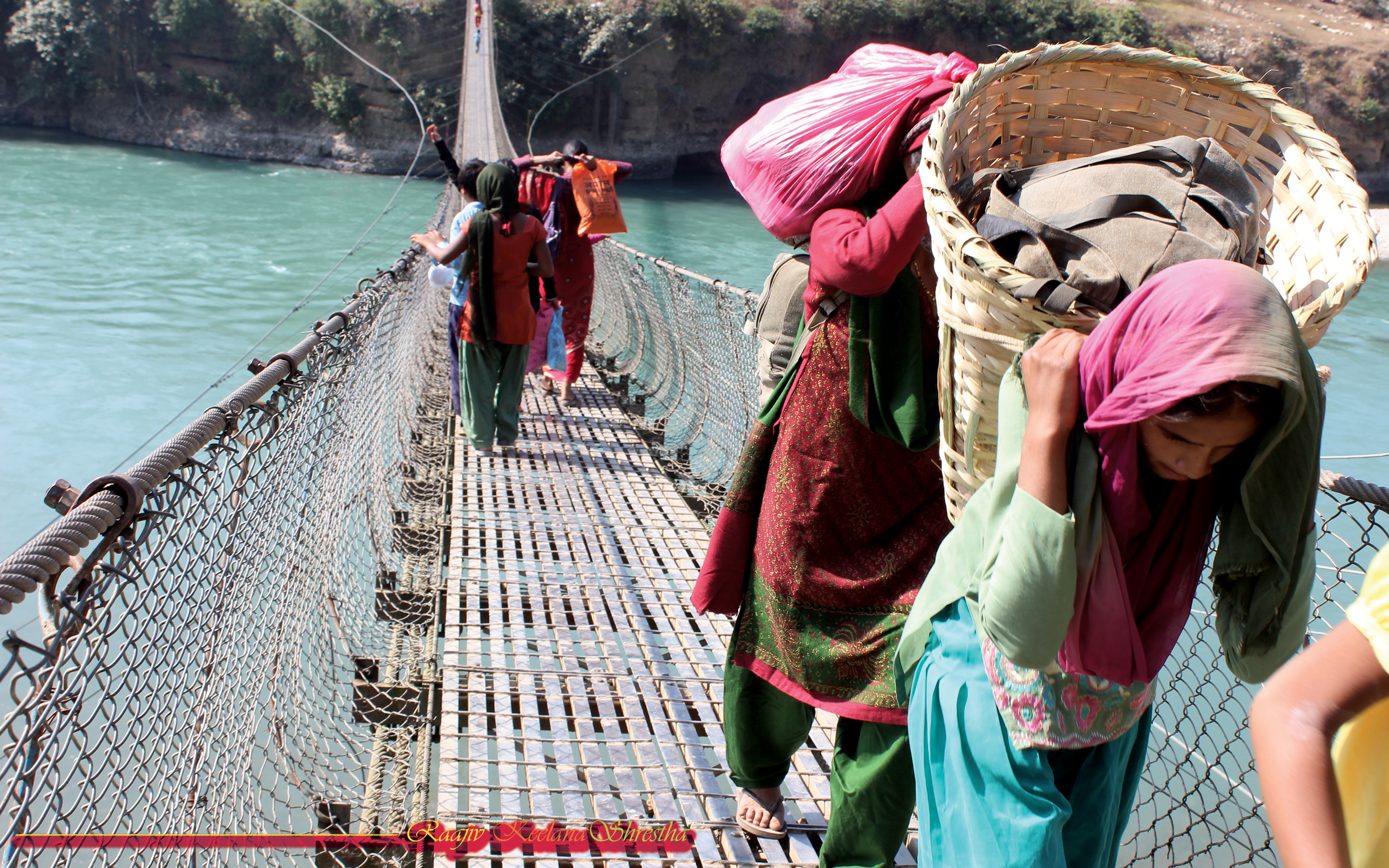
Life cycle of village of Nepal
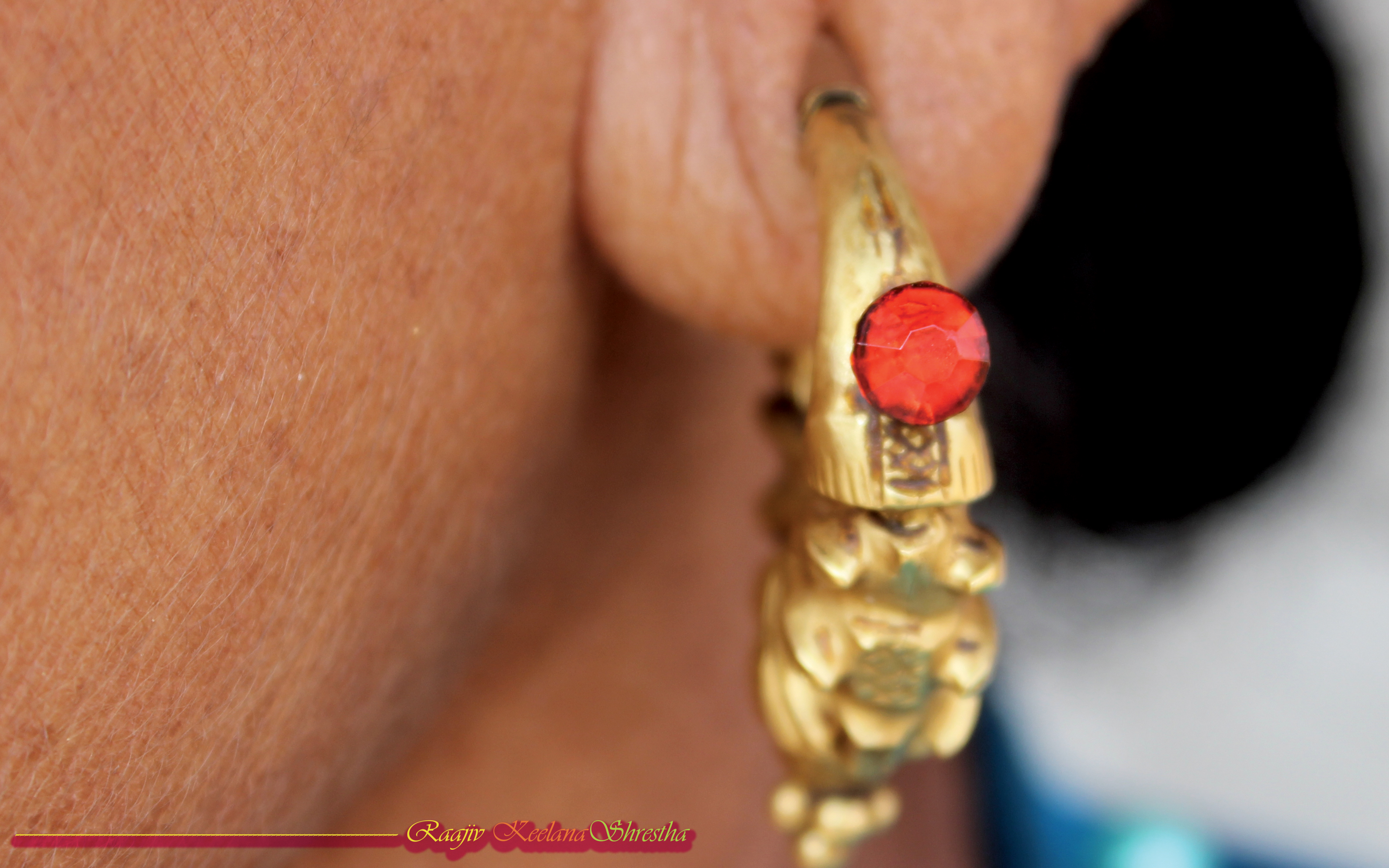
Traditional ear ring-Marwadi
Topographic Map of Dharapani, Nepal
Find elevation by address:

Places near Dharapani, Nepal:
Surkhet
Bheri
Rukum Chaurjahari Airport
Kohalpur
Bijayashwari
Dhakadam
Kapurkot
Simli
Tulsipur
Mathillo Dungeshwor Bazar, Dailekh
Rapti
Salleri
Khara
Bhalakcha
Rukum Salle Airport
Holeri
Dailekh
Banfikot
Rukum
Musikot
Recent Searches:
- Elevation of Corso Fratelli Cairoli, 35, Macerata MC, Italy
- Elevation of Tallevast Rd, Sarasota, FL, USA
- Elevation of 4th St E, Sonoma, CA, USA
- Elevation of Black Hollow Rd, Pennsdale, PA, USA
- Elevation of Oakland Ave, Williamsport, PA, USA
- Elevation of Pedrógão Grande, Portugal
- Elevation of Klee Dr, Martinsburg, WV, USA
- Elevation of Via Roma, Pieranica CR, Italy
- Elevation of Tavkvetili Mountain, Georgia
- Elevation of Hartfords Bluff Cir, Mt Pleasant, SC, USA