Elevation of Dhanolti, Uttarakhand, India
Location: India > Uttarakhand > Tehri Garhwal >
Longitude: 78.2376466
Latitude: 30.426677
Elevation: 2189m / 7182feet
Barometric Pressure: 78KPa
Elevation Map:
Satellite Map:
Related Photos:

Road view from Shiv Mandir

Sweet Shop, Mussoorie, India

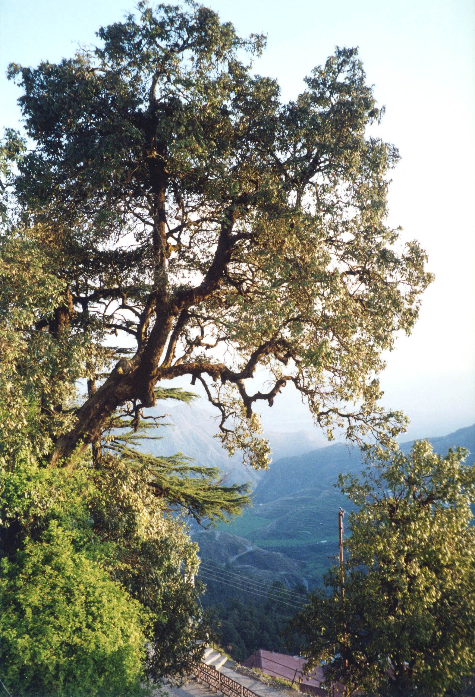
Himalayan Foothills - Uttarakhand, India

After a few sunny days, Mussoorie has seen intermittent rain and a storm today. A view of the hills on Camel's back road with heavily overcast skies. Mar 20, 2019 Mar 20, 2019 Mar 20, 2019

Red Stone Camp Clouds View

Mussoorie, Uttarakhand, India

Mussorrie view

Mussoorie, Uttarakhand, India

Breathtaking View from the Hill. What an awesome place to get married.. #mussourie #hills #wedding

Showered With Flowers

Mussoorie, Uttarakhand, India

Mussoorie View
Mussoorie, Uttarakhand, India

View of another falls near Bhatta Falls

Mussoorie View

Mussoorie View

Mussoorie ropeway vanishes into the low clouds
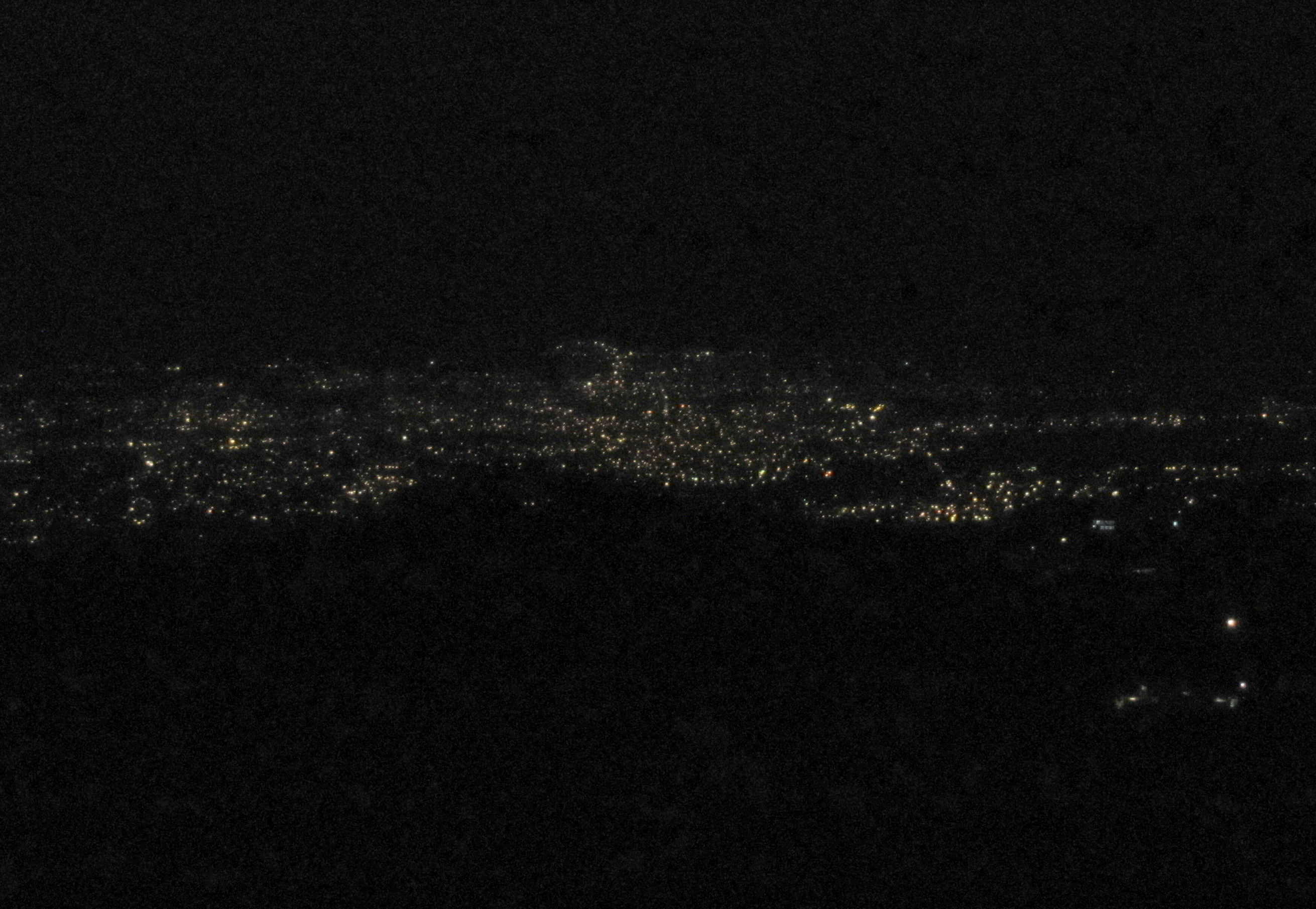
Lights of Dehradun from Landour
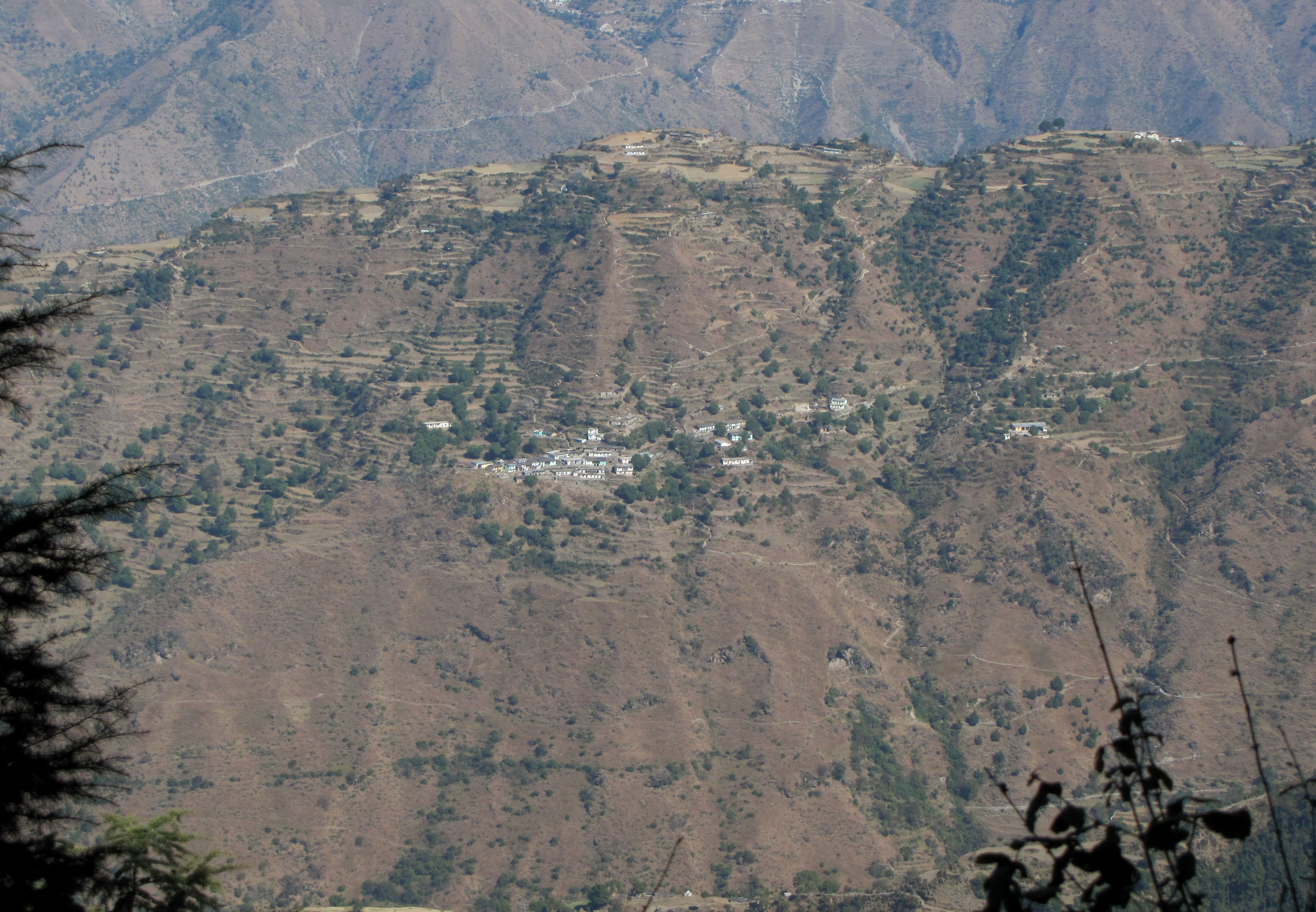
Village View from Sisters Bazaar

Eyebrow View

Eyebrow View

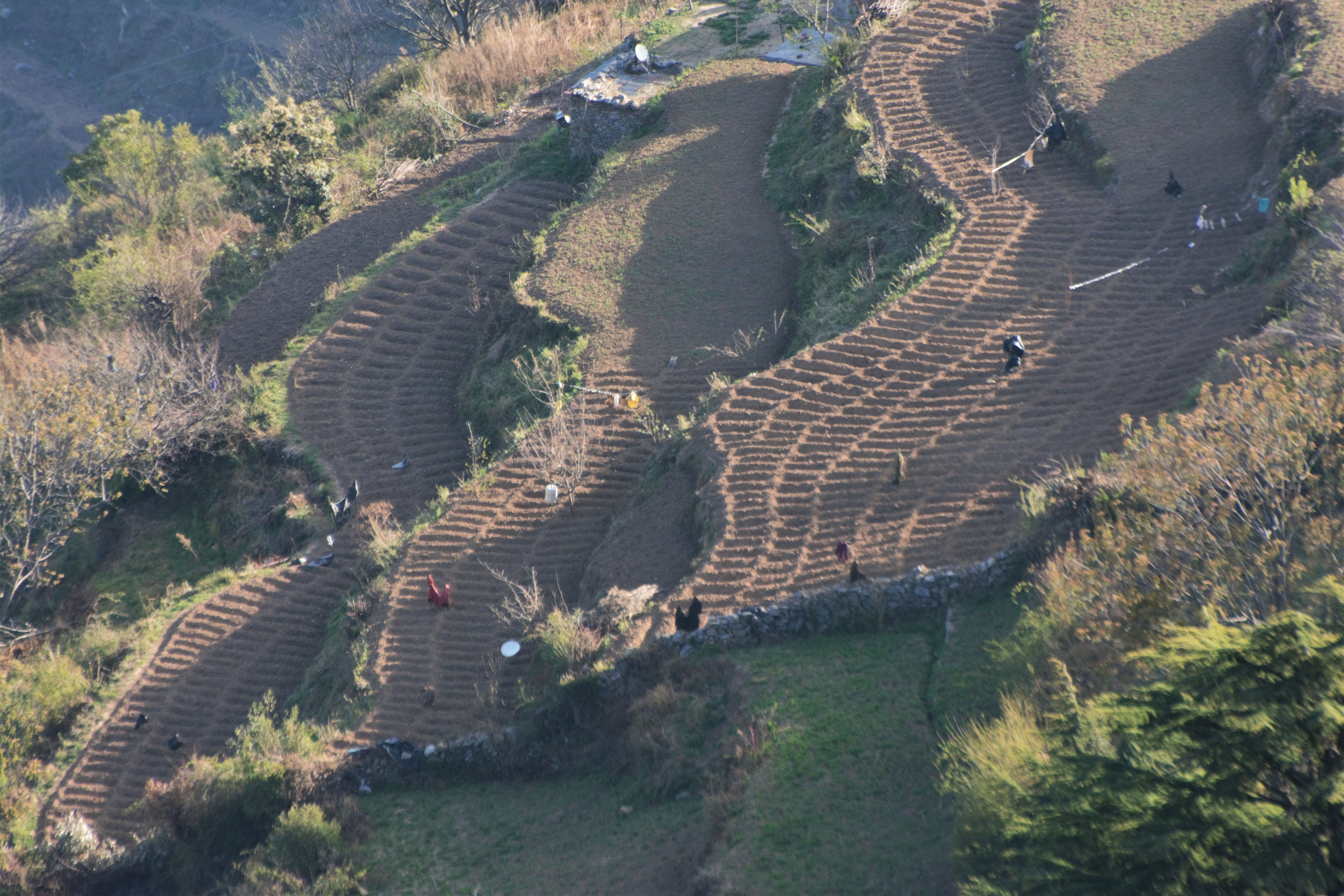
Potato plantation

Bandar Punch from Lal Tibba

Sunrise over Kaudia Range

Bandar Punch from Lal Tibba

Bandar Punch from Lal Tibba

Bandar Punch from Lal Tibba

"Mountains are the beginning and end of all natural scenery" - John Ruskin

Pine Forest in Tehri Garhwal

The Potato Fields of Kaudia

Chamba Valley sunrise
Potato Fields of Kaudia Range

The potato fields of Kaudia

Mussoorie Lake.

Potato Fields of Kaudia Range
Topographic Map of Dhanolti, Uttarakhand, India
Find elevation by address:

Places near Dhanolti, Uttarakhand, India:
Dhanaulti
Surkanda Devi Temple
Saklana Range
Kanatal Inn
Kanatal
Timilimansingh
Sahastradhara
Kaudia Range
Landour
F36w+3m
Naya Mohalla
Gujrami
Laluri
Lal Tibba View Point
Dit University
The Mall Road
Kandikhal
Classic Hill Top Resort - Chamba (uttarakhand)
Mussoorie
Khalanga
Recent Searches:
- Elevation of Corso Fratelli Cairoli, 35, Macerata MC, Italy
- Elevation of Tallevast Rd, Sarasota, FL, USA
- Elevation of 4th St E, Sonoma, CA, USA
- Elevation of Black Hollow Rd, Pennsdale, PA, USA
- Elevation of Oakland Ave, Williamsport, PA, USA
- Elevation of Pedrógão Grande, Portugal
- Elevation of Klee Dr, Martinsburg, WV, USA
- Elevation of Via Roma, Pieranica CR, Italy
- Elevation of Tavkvetili Mountain, Georgia
- Elevation of Hartfords Bluff Cir, Mt Pleasant, SC, USA