Elevation of Dhankuta District Hospital, Hulak Tole & Thadobazar Street, Dhankuta, Nepal
Location: Nepal > Eastern Region > Koshi >
Longitude: 87.3434937
Latitude: 26.9720588
Elevation: -10000m / -32808feet
Barometric Pressure: 295KPa
Elevation Map:
Satellite Map:
Related Photos:

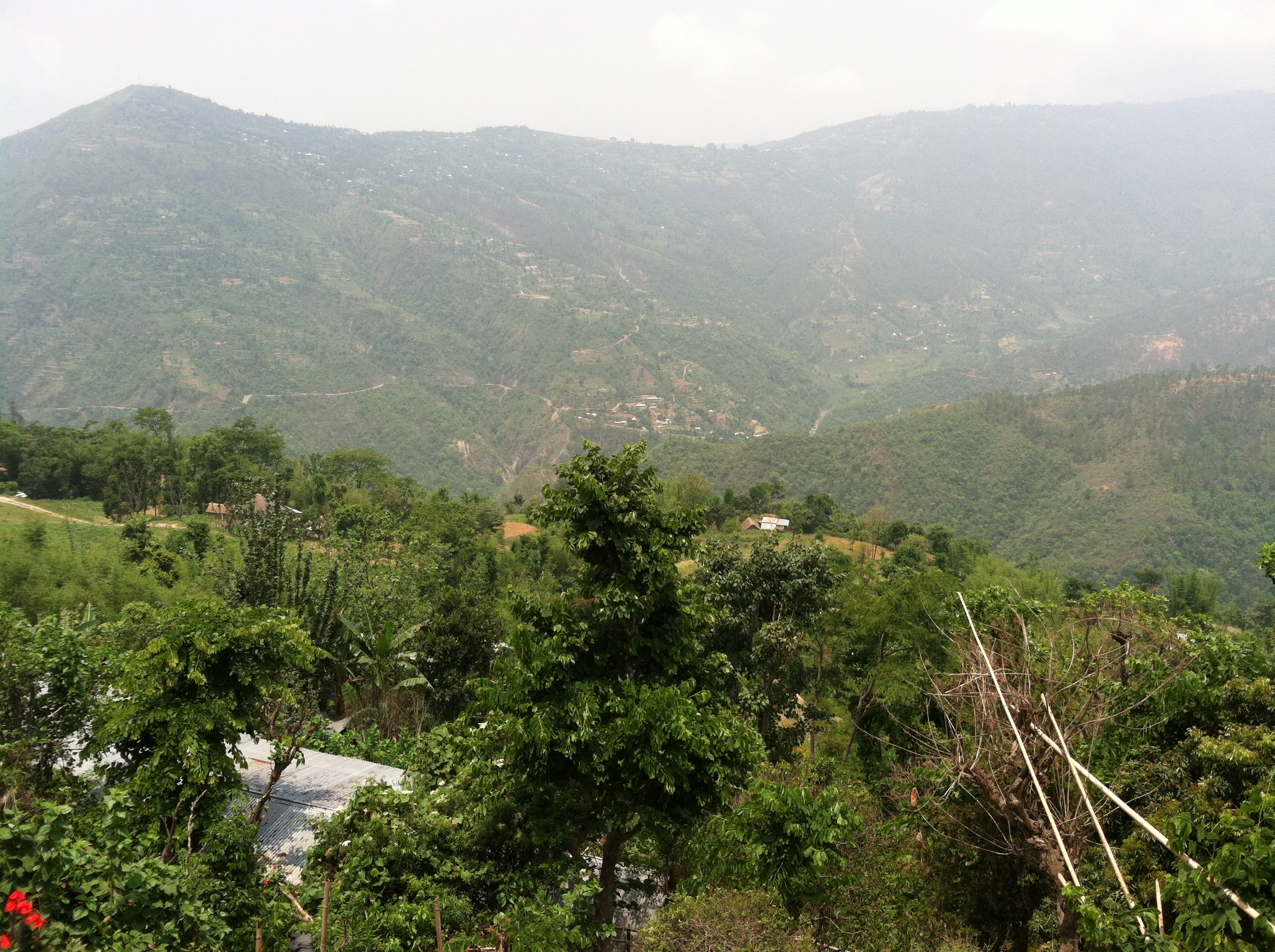
Nepalese Landscape
View from our porch

Nepal (38) - 30Sep10, Hile (Nepal)

Nepal (38) [Round] - 30Sep10, Hile (Nepal)

Nepal (39) - 30Sep10, Hile (Nepal)

Tea Plantation
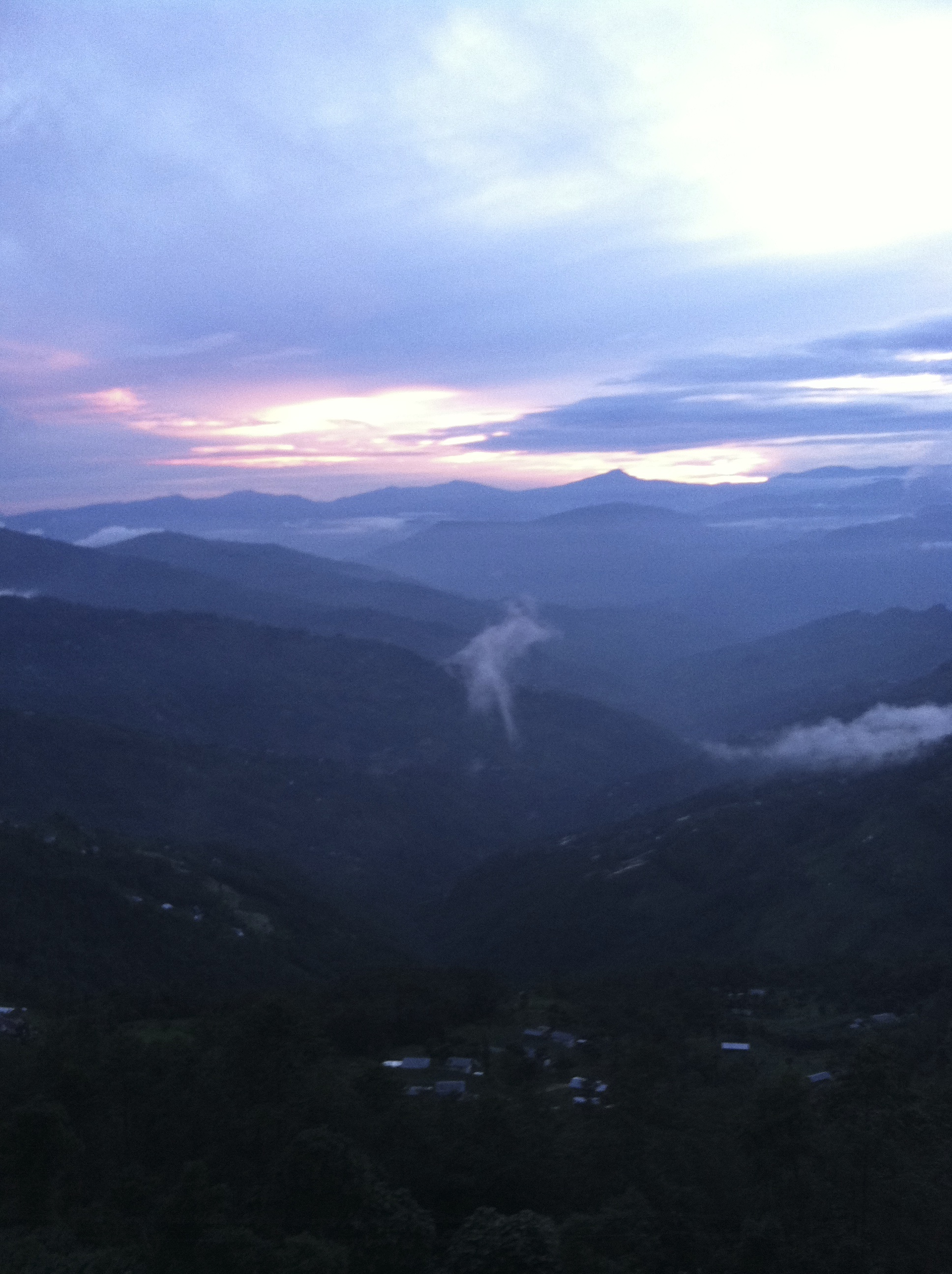
Sindhuwa sunsets 2

Dhankuta Days 2
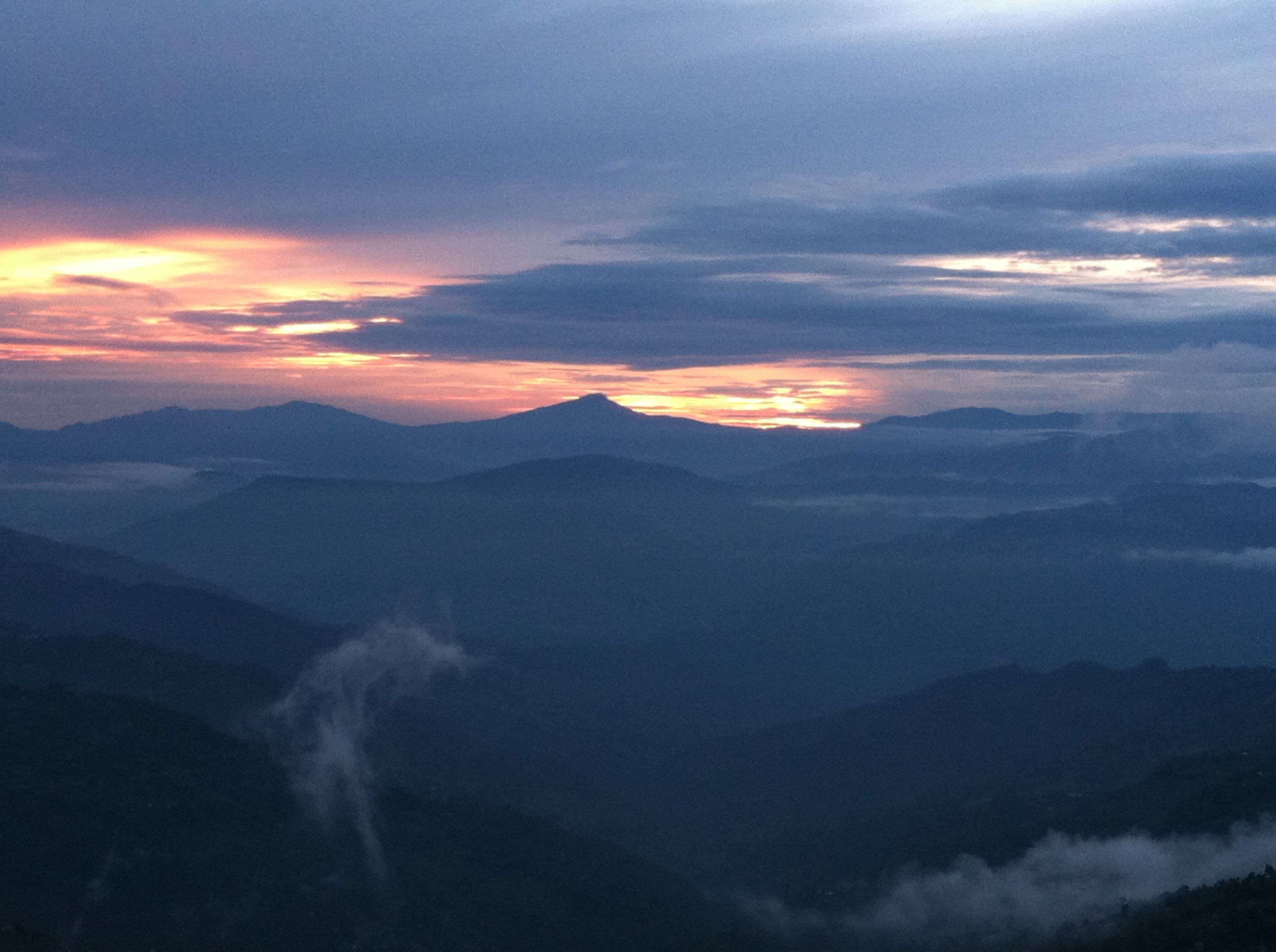
Sindhuwa sunsets
Topographic Map of Dhankuta District Hospital, Hulak Tole & Thadobazar Street, Dhankuta, Nepal
Find elevation by address:

Places near Dhankuta District Hospital, Hulak Tole & Thadobazar Street, Dhankuta, Nepal:
Dhankuta
Dhankuta
Hile
Koshi
Bhedetar
Sindhuwa Bazar
Leguwa
Birjung Marg
Mouwa
Dharan
Tinjure Danda
Bhogateni
Tamaphok
Letang Bhogateni
Terhathum
Sherjong
Sarangdanda
Gufa Pokhari
Guphapokhari
Province No. 1
Recent Searches:
- Elevation of Corso Fratelli Cairoli, 35, Macerata MC, Italy
- Elevation of Tallevast Rd, Sarasota, FL, USA
- Elevation of 4th St E, Sonoma, CA, USA
- Elevation of Black Hollow Rd, Pennsdale, PA, USA
- Elevation of Oakland Ave, Williamsport, PA, USA
- Elevation of Pedrógão Grande, Portugal
- Elevation of Klee Dr, Martinsburg, WV, USA
- Elevation of Via Roma, Pieranica CR, Italy
- Elevation of Tavkvetili Mountain, Georgia
- Elevation of Hartfords Bluff Cir, Mt Pleasant, SC, USA