Elevation of Dewhurst, WI, USA
Location: United States > Wisconsin > Clark County >
Longitude: -90.734273
Latitude: 44.4535828
Elevation: 287m / 942feet
Barometric Pressure: 98KPa
Elevation Map:
Satellite Map:
Related Photos:
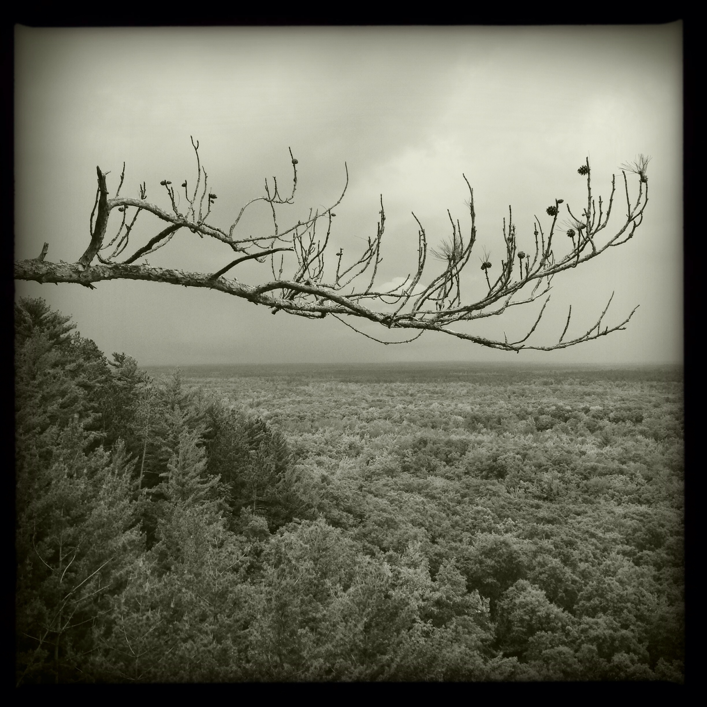
View from Levis Mound, Wisconsin

Massey Harris tractor
HDR Photos-35
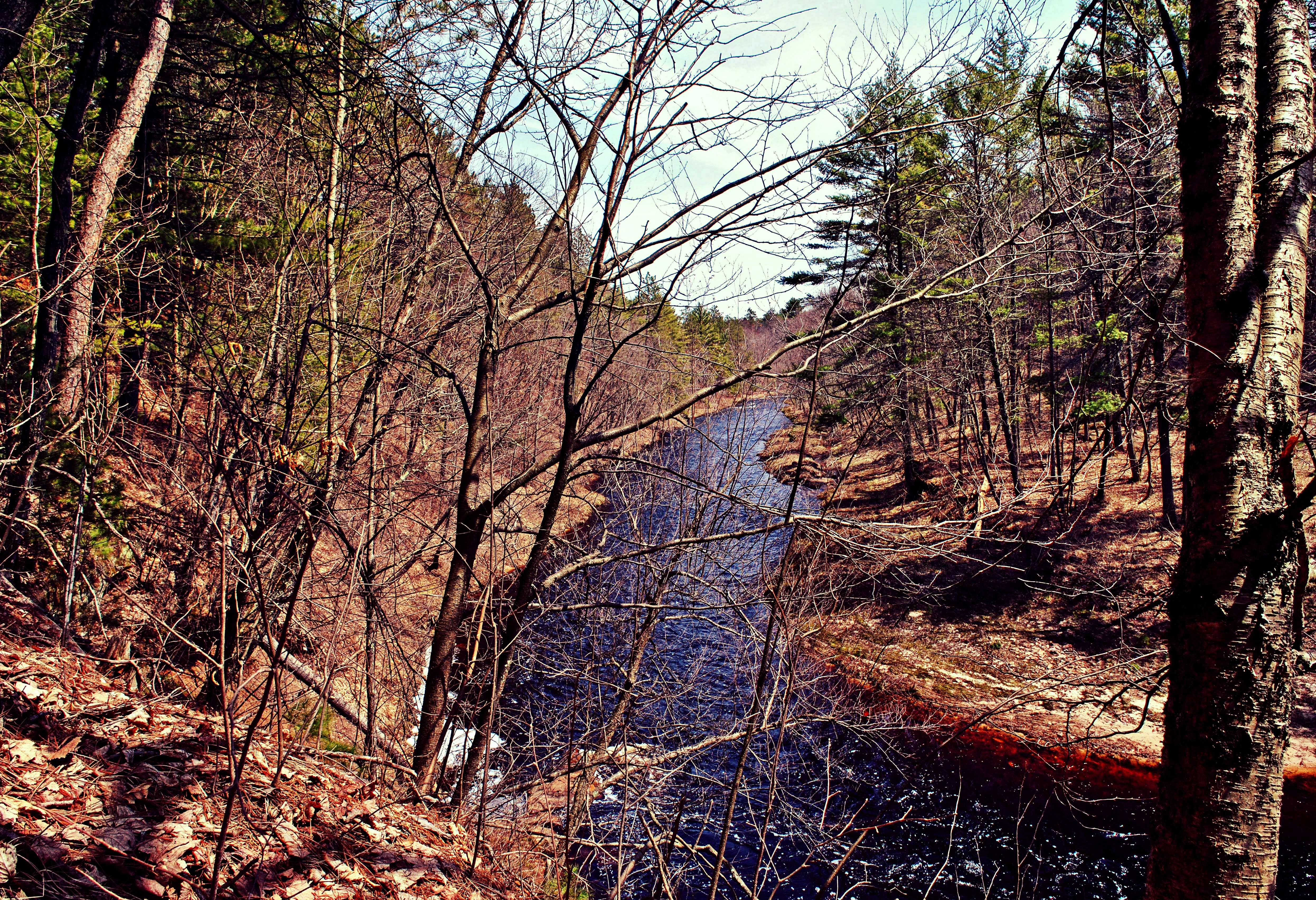
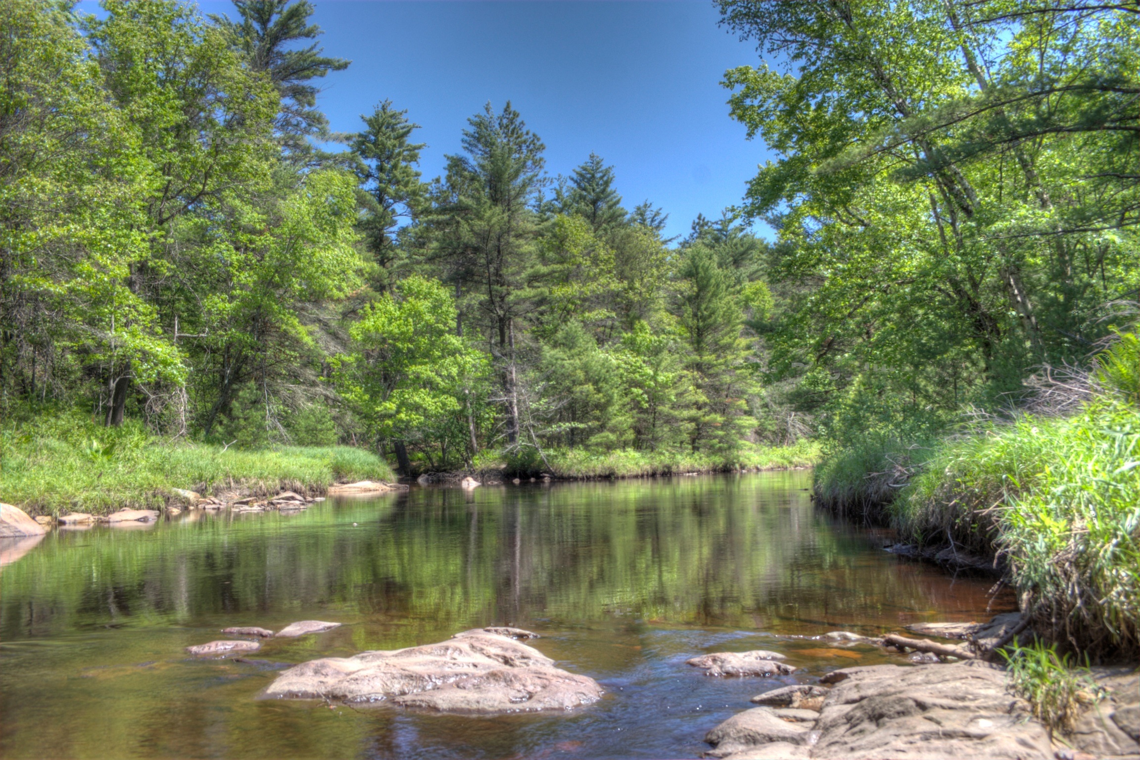
Morrison Creek
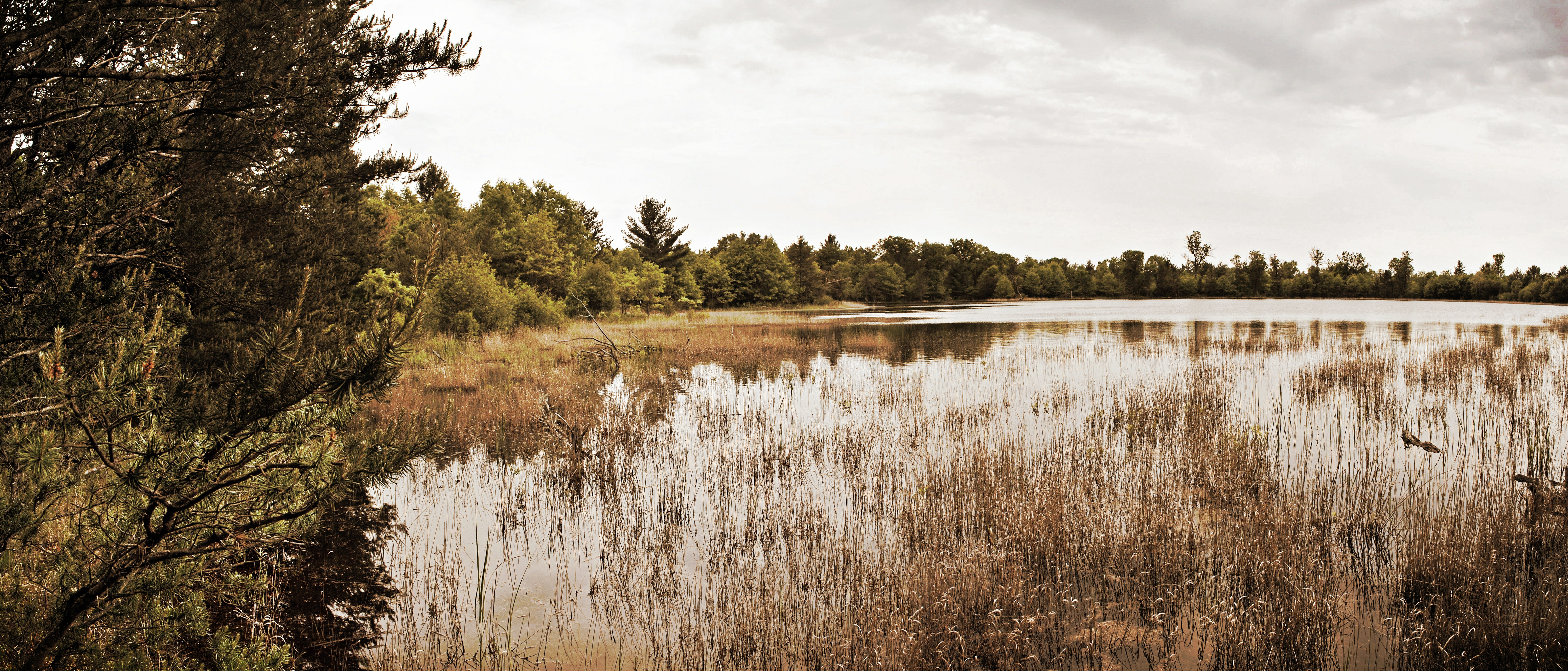
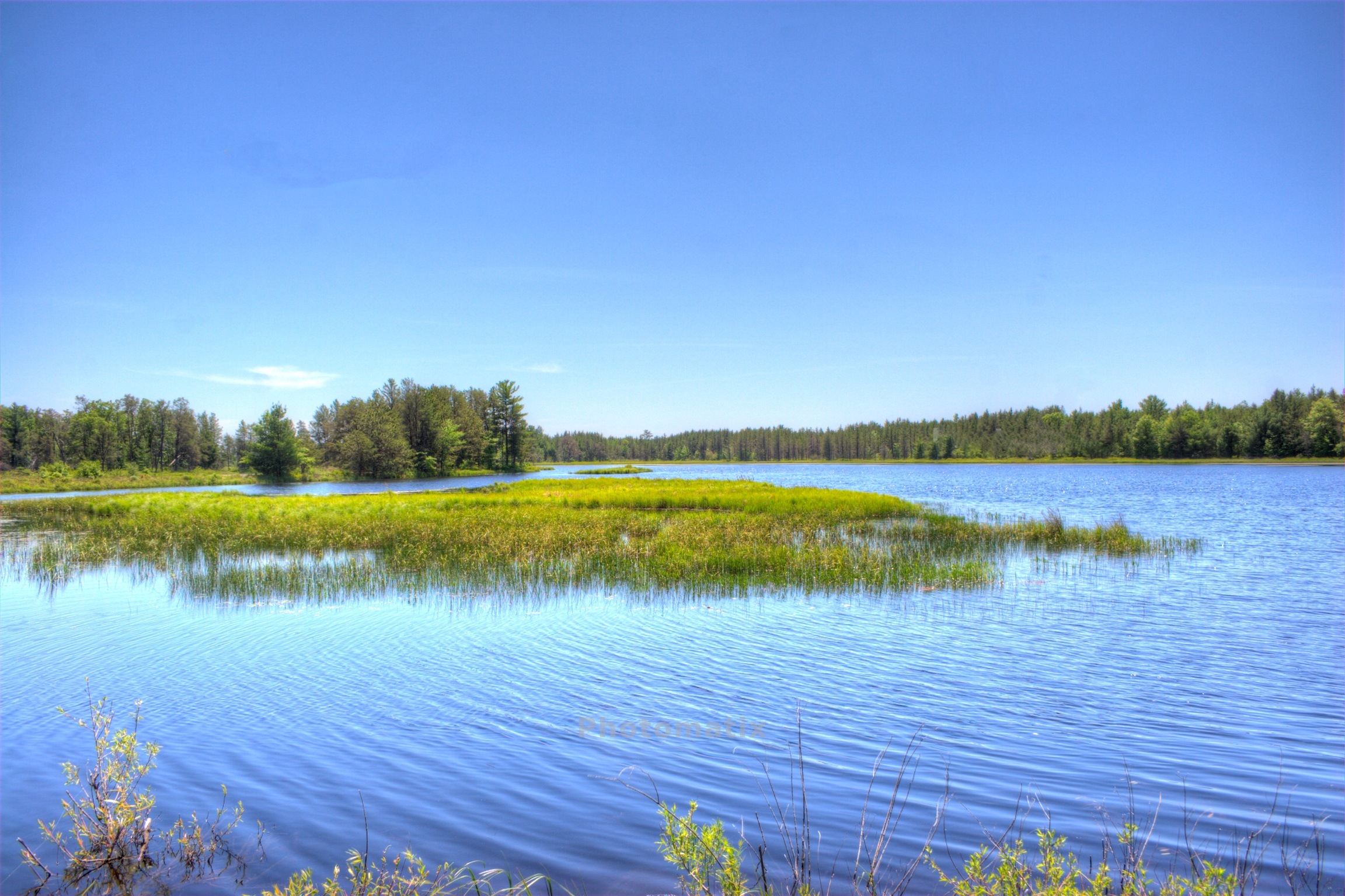
Brockway Ponds State Natural Area
HDR Photos-33
09-14-2013 Ride
On Wildcat Mound
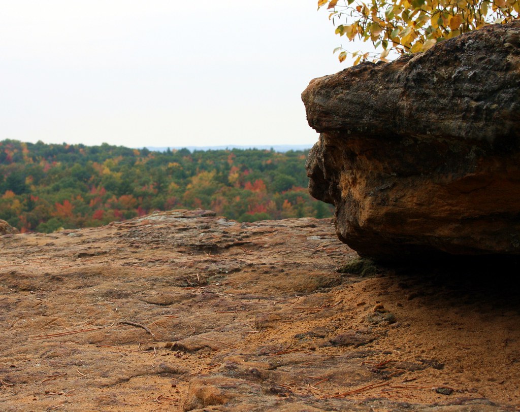
On Wildcat Mound
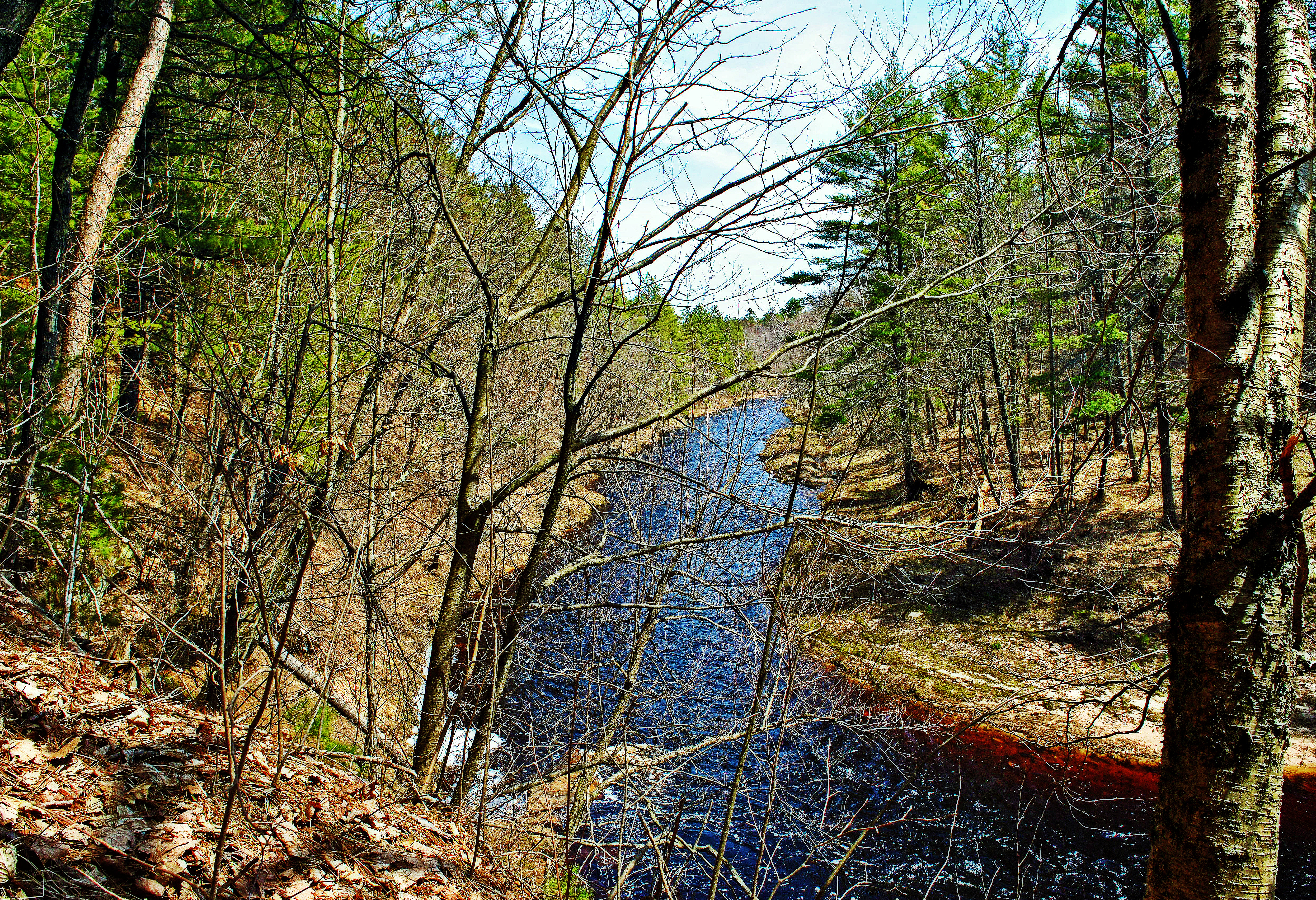
Morrison Creek
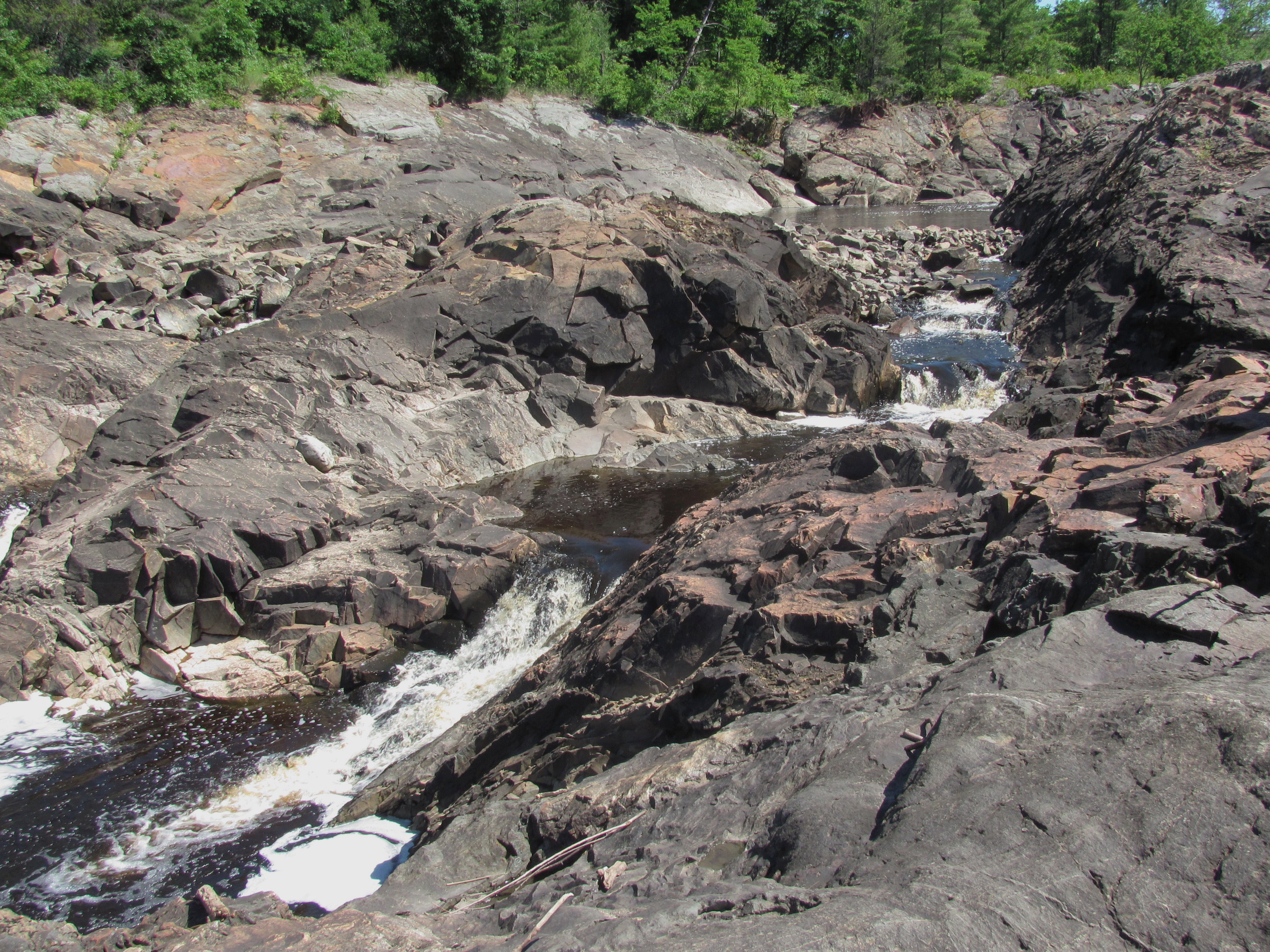
28 4th rapids
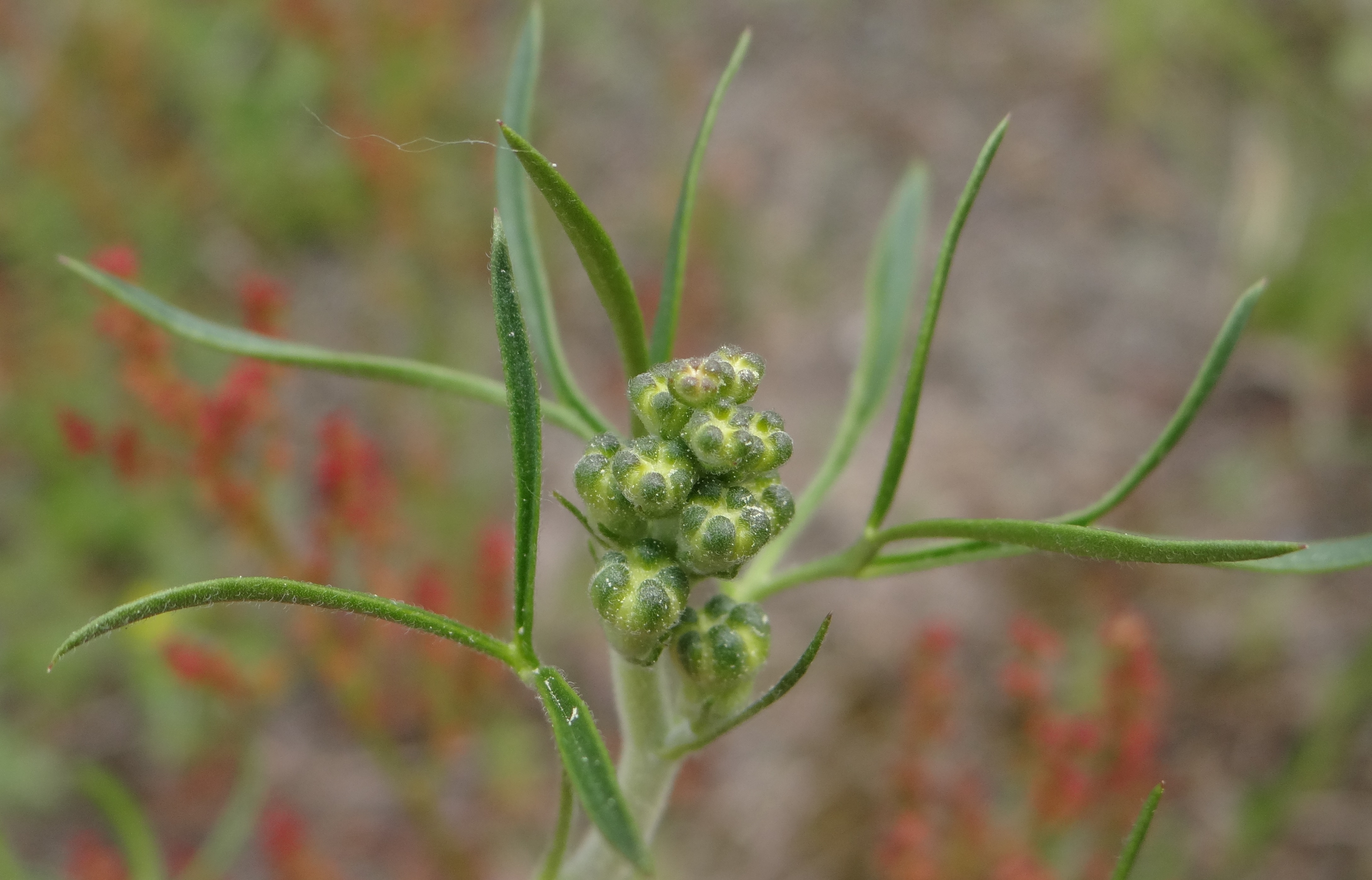
Plains Larkspur Buds
On Wildcat Mound

4 first 2 rapids
Gold Star Tribute
On Wildcat Mound
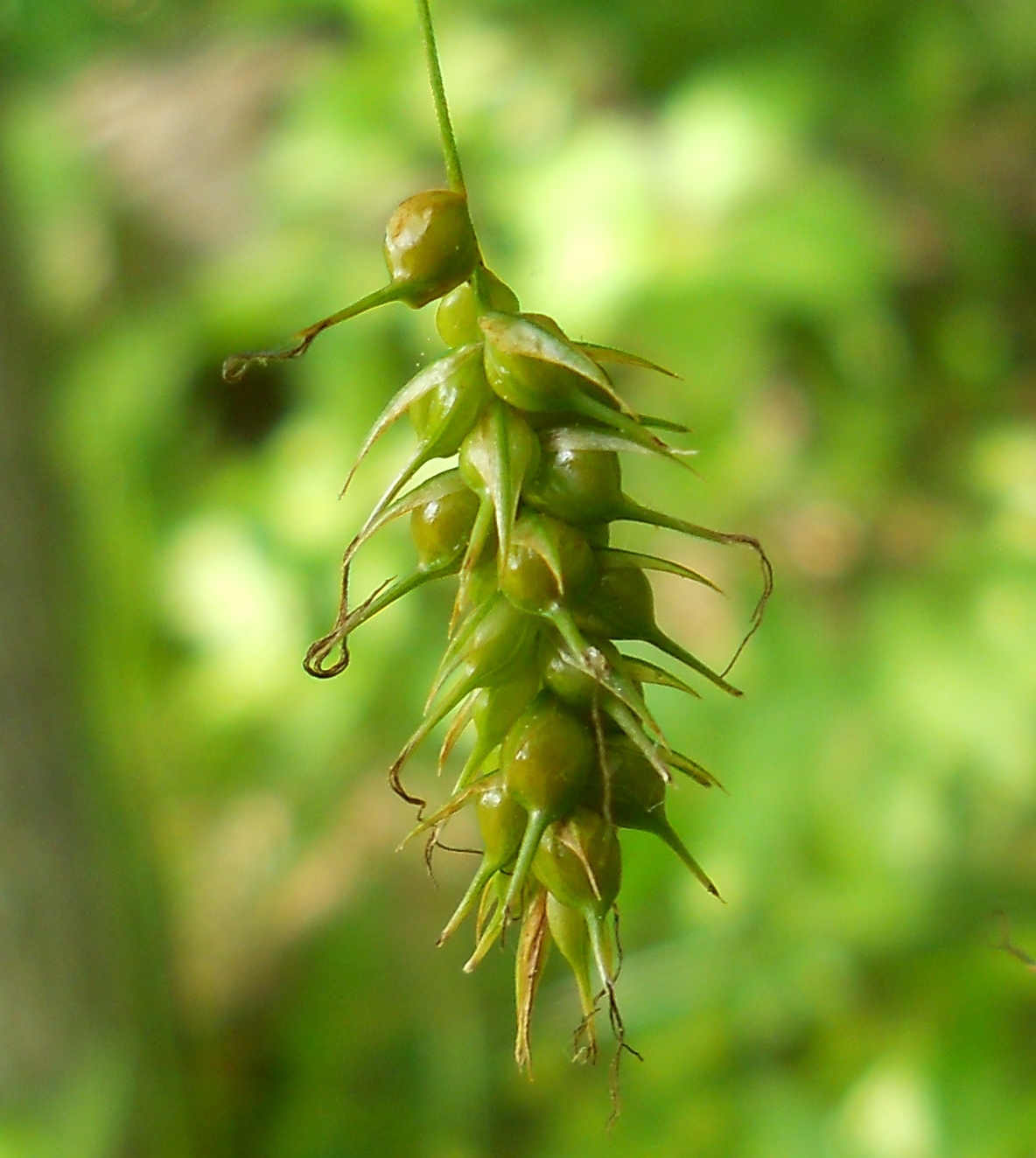
Sprengel's Sedge (Carex sprengelii)
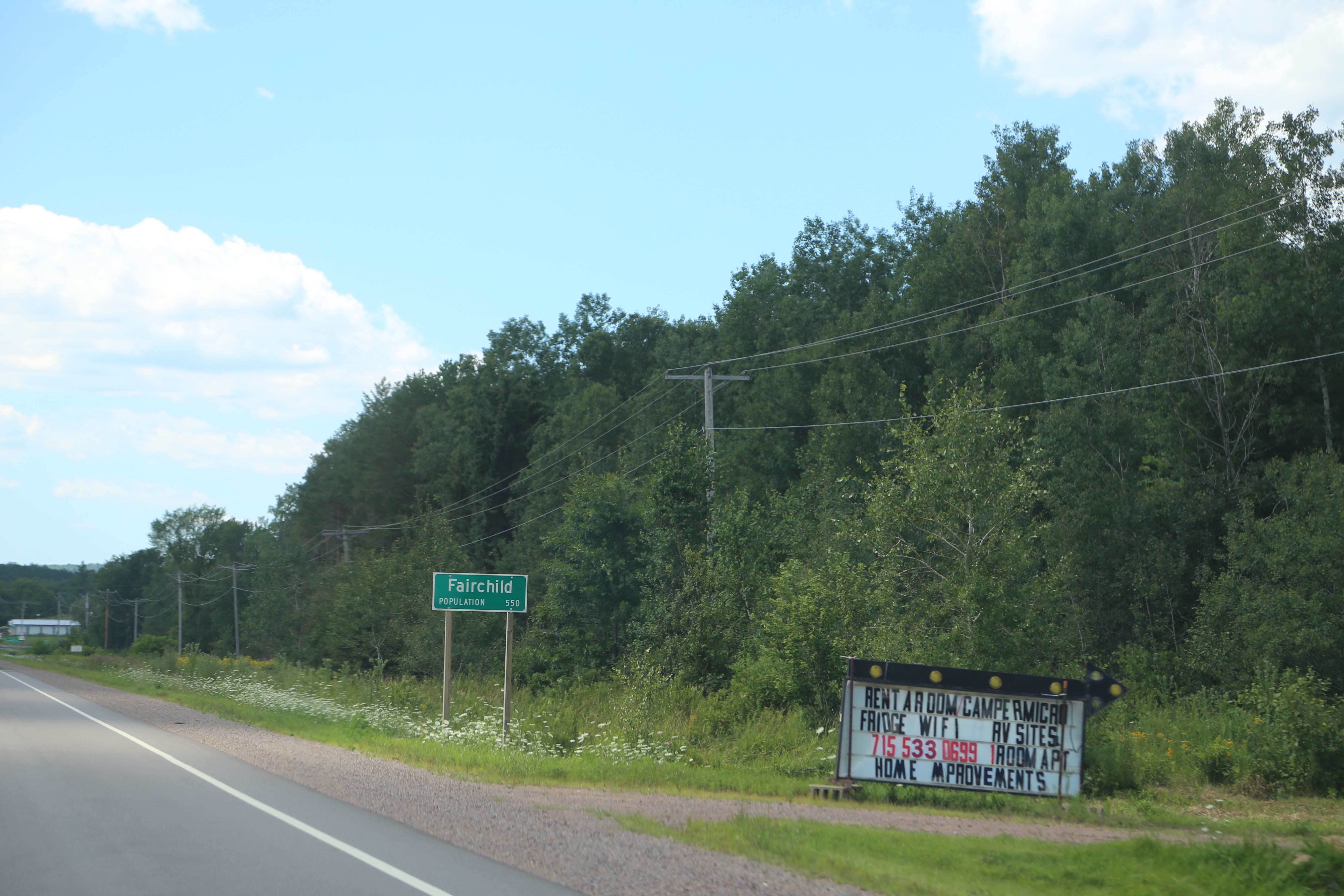
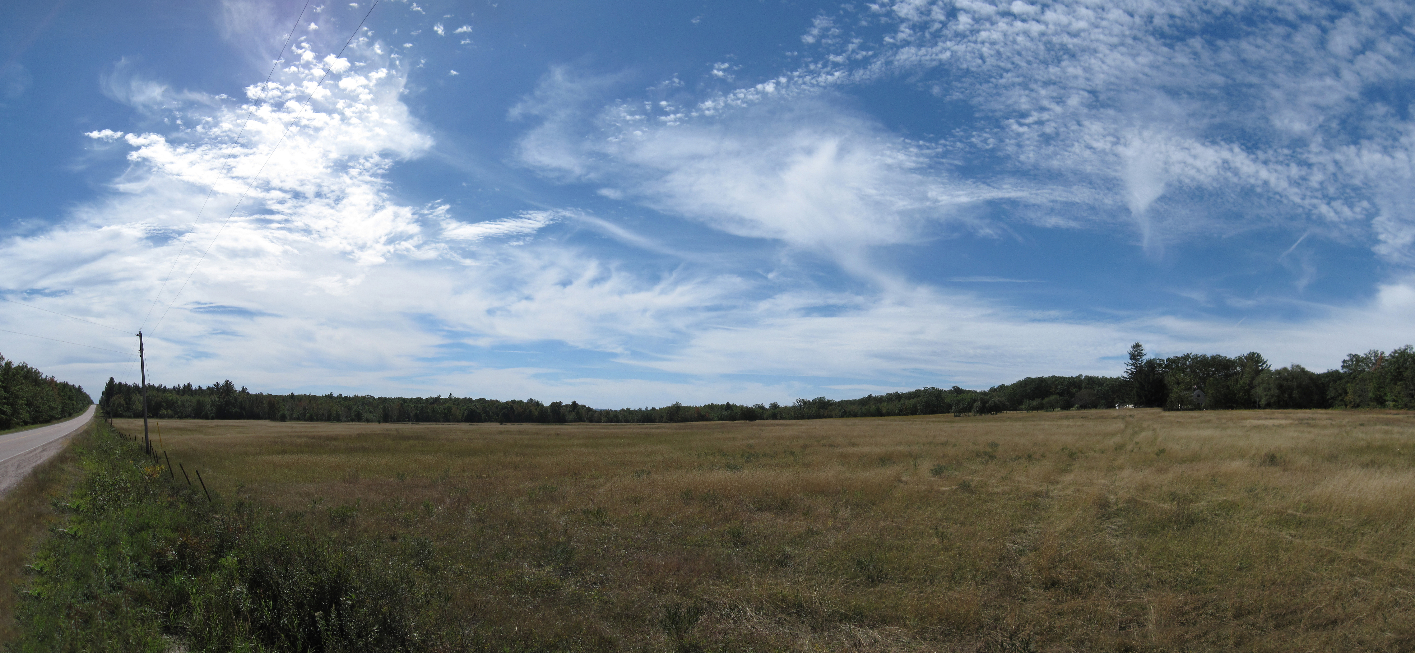
Fairchild Wisconsin, Trempealeau County WI
07-31-2015 Ride - The Highground Memorial
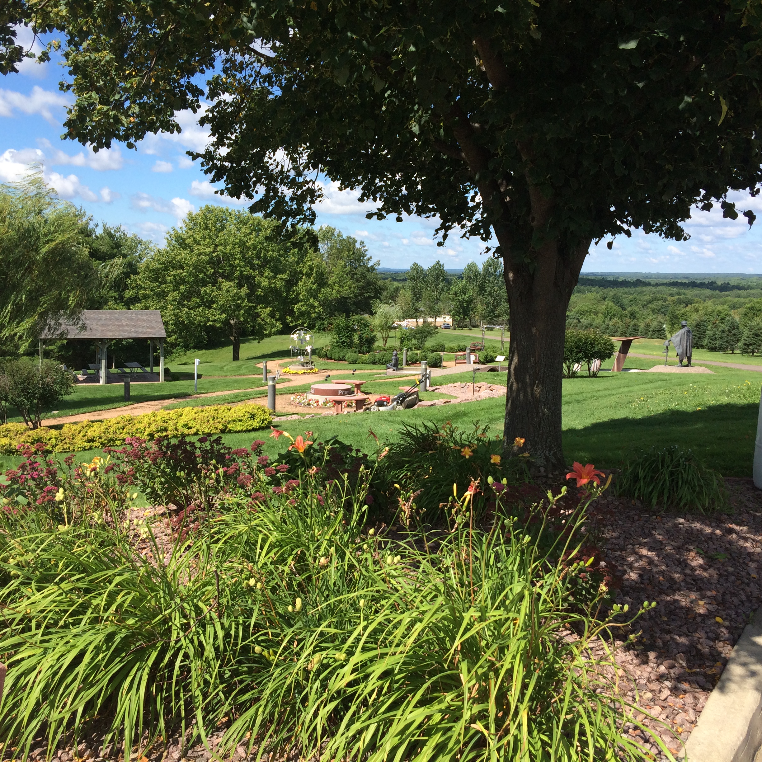
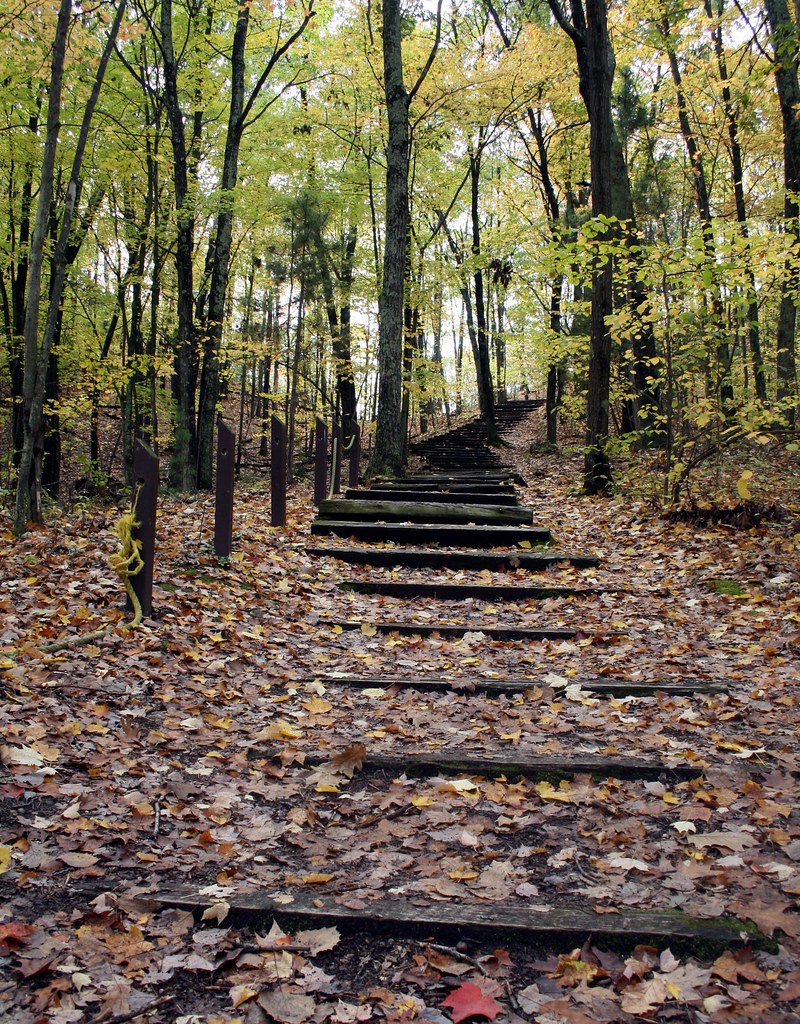
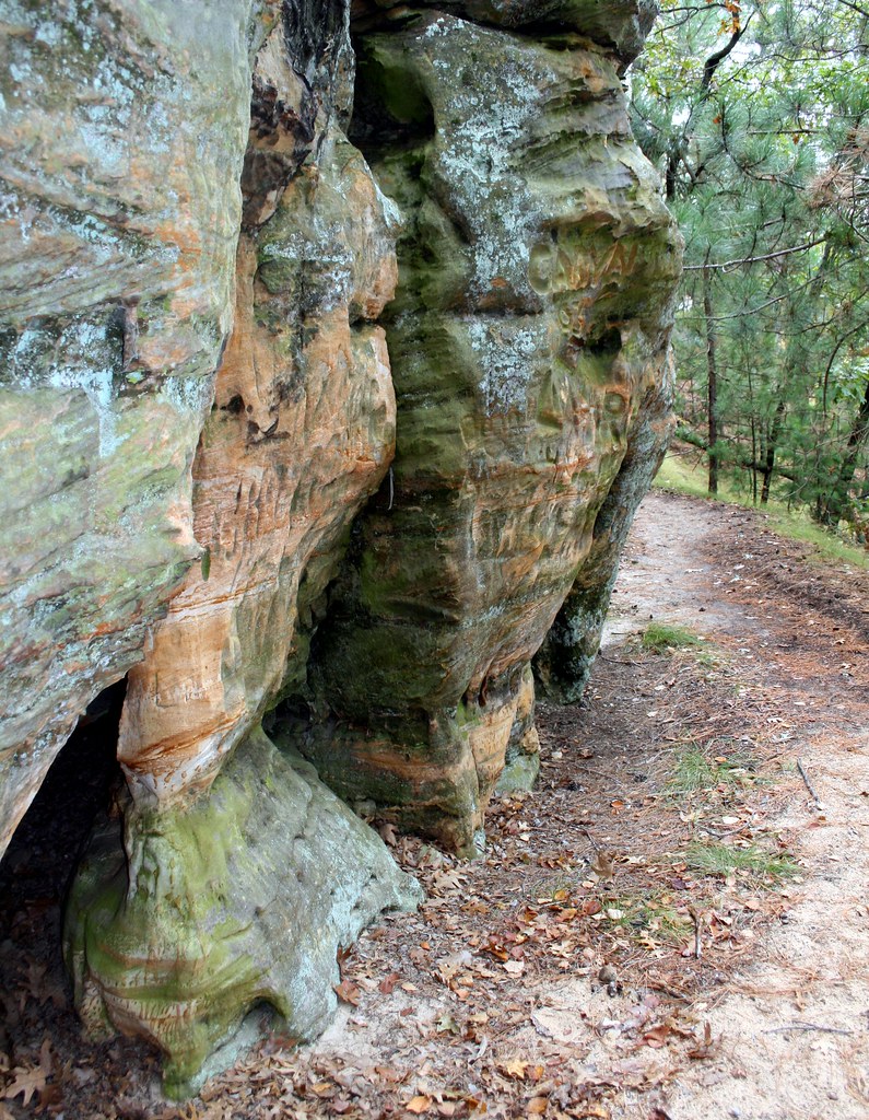
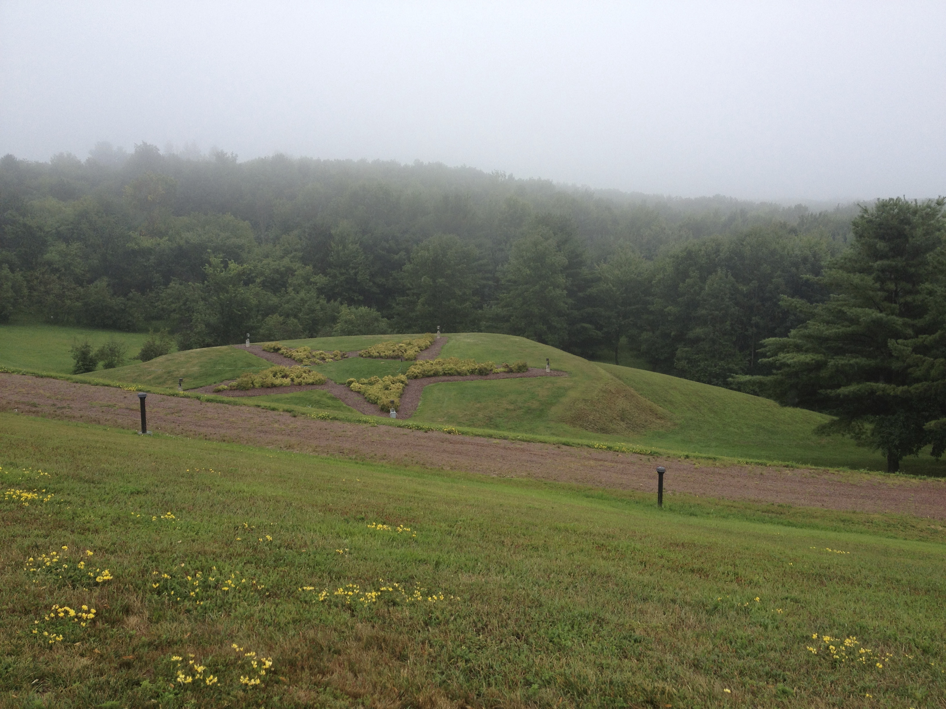
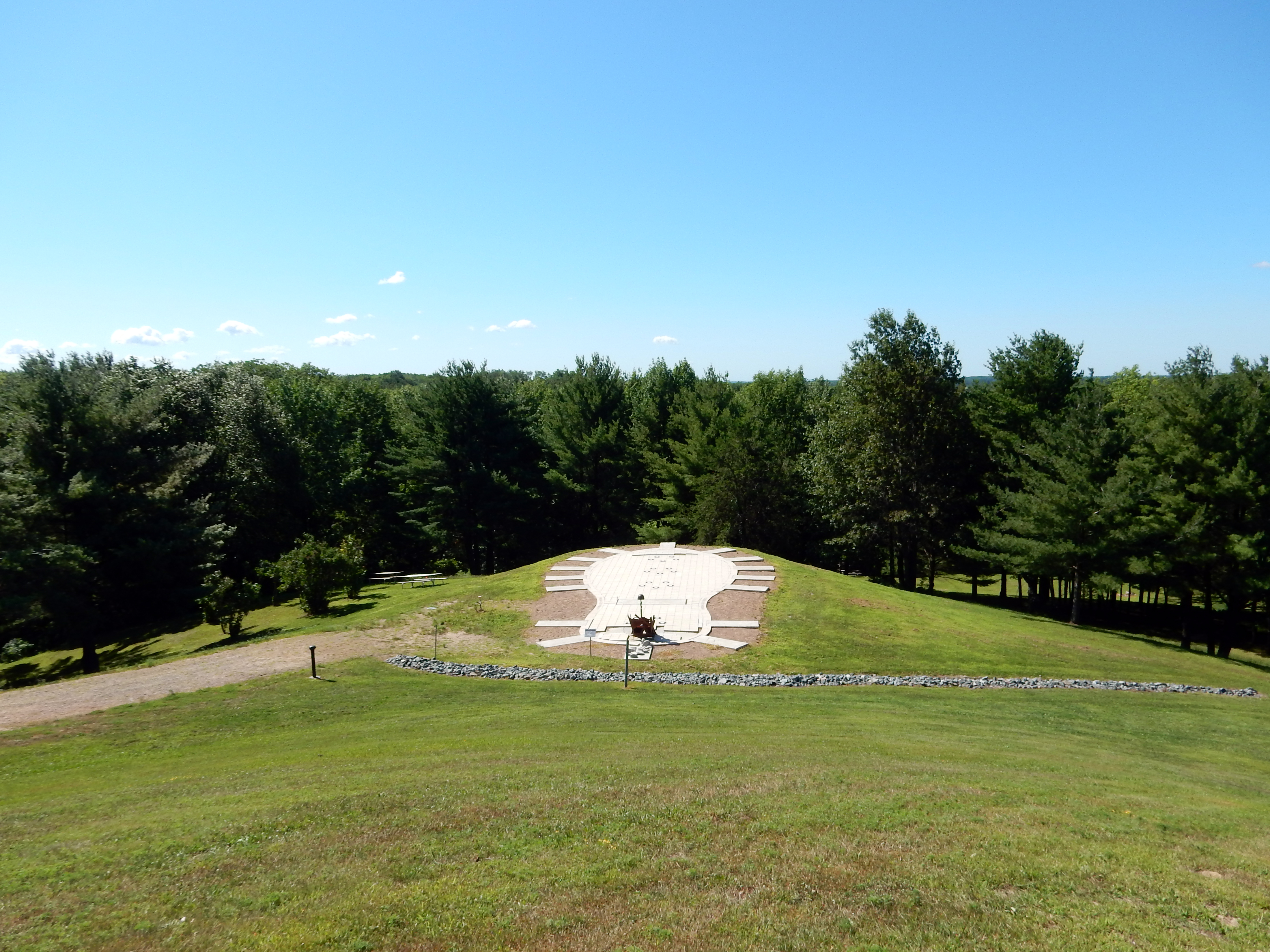
The Highground

The Highground
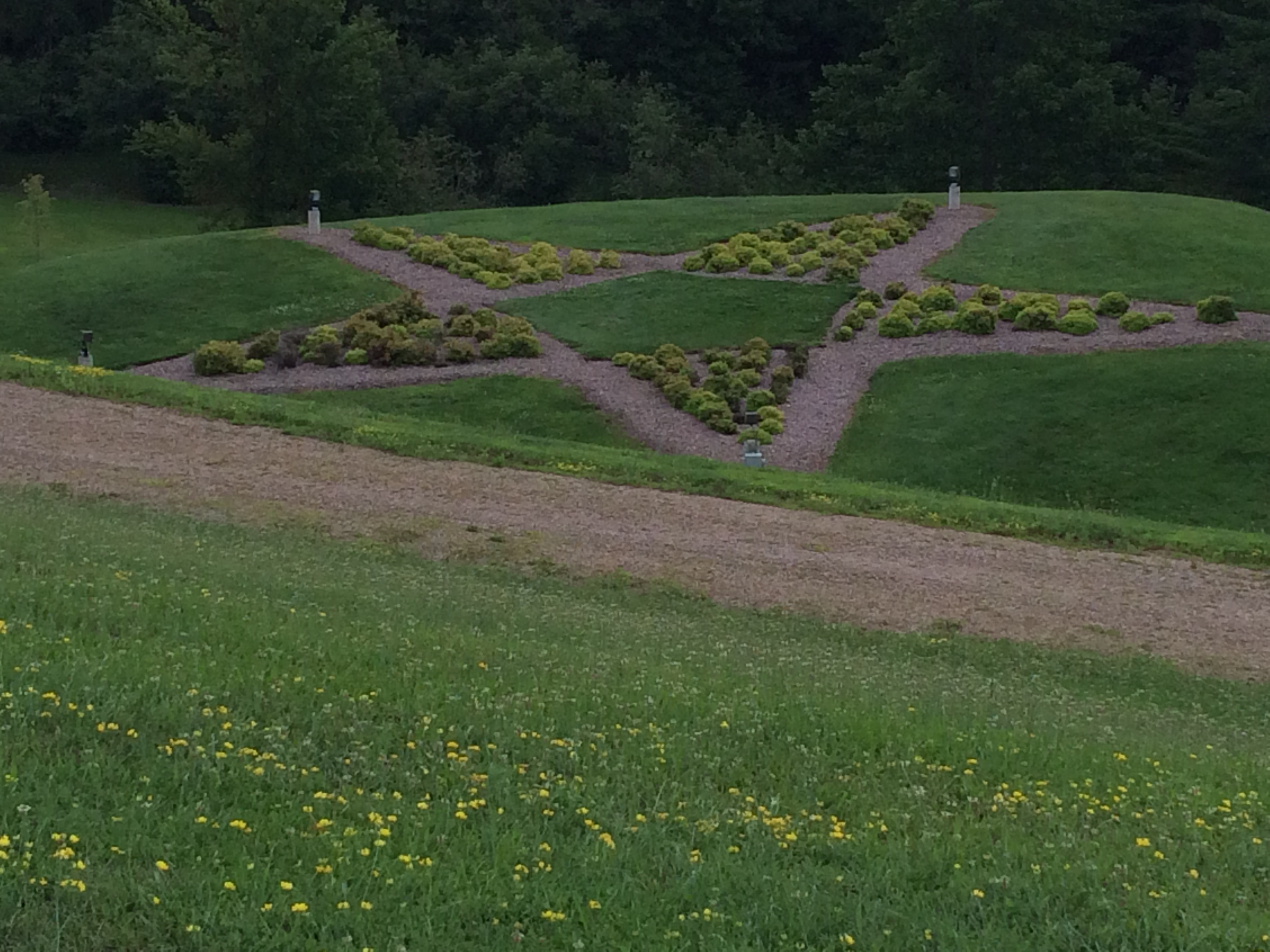
The Highground
Topographic Map of Dewhurst, WI, USA
Find elevation by address:

Places in Dewhurst, WI, USA:
Places near Dewhurst, WI, USA:
N1035
S Main St, Merrillan, WI, USA
W8813
Pine Valley
Brockway
Jackson County
W10003
Neillsville
Hewett St, Neillsville, WI, USA
Adams
Black River Falls
Nash Road
405 Wi-54 Trunk
620 Gebhardt Rd
W11347 Spaulding Rd
Millston
Miller Avenue
Hixton
N7551 Squirrel Rd
Manchester
Recent Searches:
- Elevation of Corso Fratelli Cairoli, 35, Macerata MC, Italy
- Elevation of Tallevast Rd, Sarasota, FL, USA
- Elevation of 4th St E, Sonoma, CA, USA
- Elevation of Black Hollow Rd, Pennsdale, PA, USA
- Elevation of Oakland Ave, Williamsport, PA, USA
- Elevation of Pedrógão Grande, Portugal
- Elevation of Klee Dr, Martinsburg, WV, USA
- Elevation of Via Roma, Pieranica CR, Italy
- Elevation of Tavkvetili Mountain, Georgia
- Elevation of Hartfords Bluff Cir, Mt Pleasant, SC, USA