Elevation of Desert Hills, New River, AZ, USA
Location: United States > Arizona > Maricopa County > Phoenix >
Longitude: -112.12821
Latitude: 33.8129803
Elevation: 530m / 1739feet
Barometric Pressure: 95KPa
Elevation Map:
Satellite Map:
Related Photos:
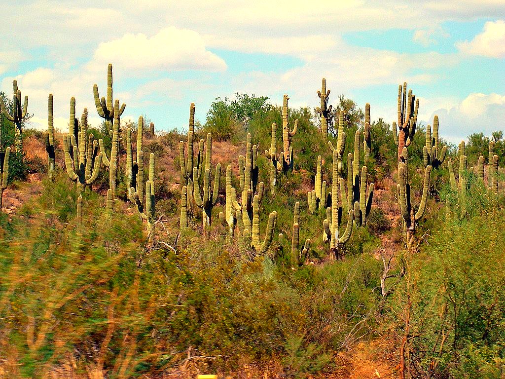
Desert Forest
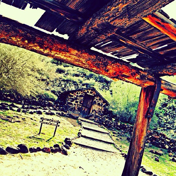
View from rickety old porch. #igers #igdaily #igersaz #instaaz #insta_america #ig_captures #iphoneonly #ic_nature #ic_landscapes #desert

Social Media Mixed Icons - Banner
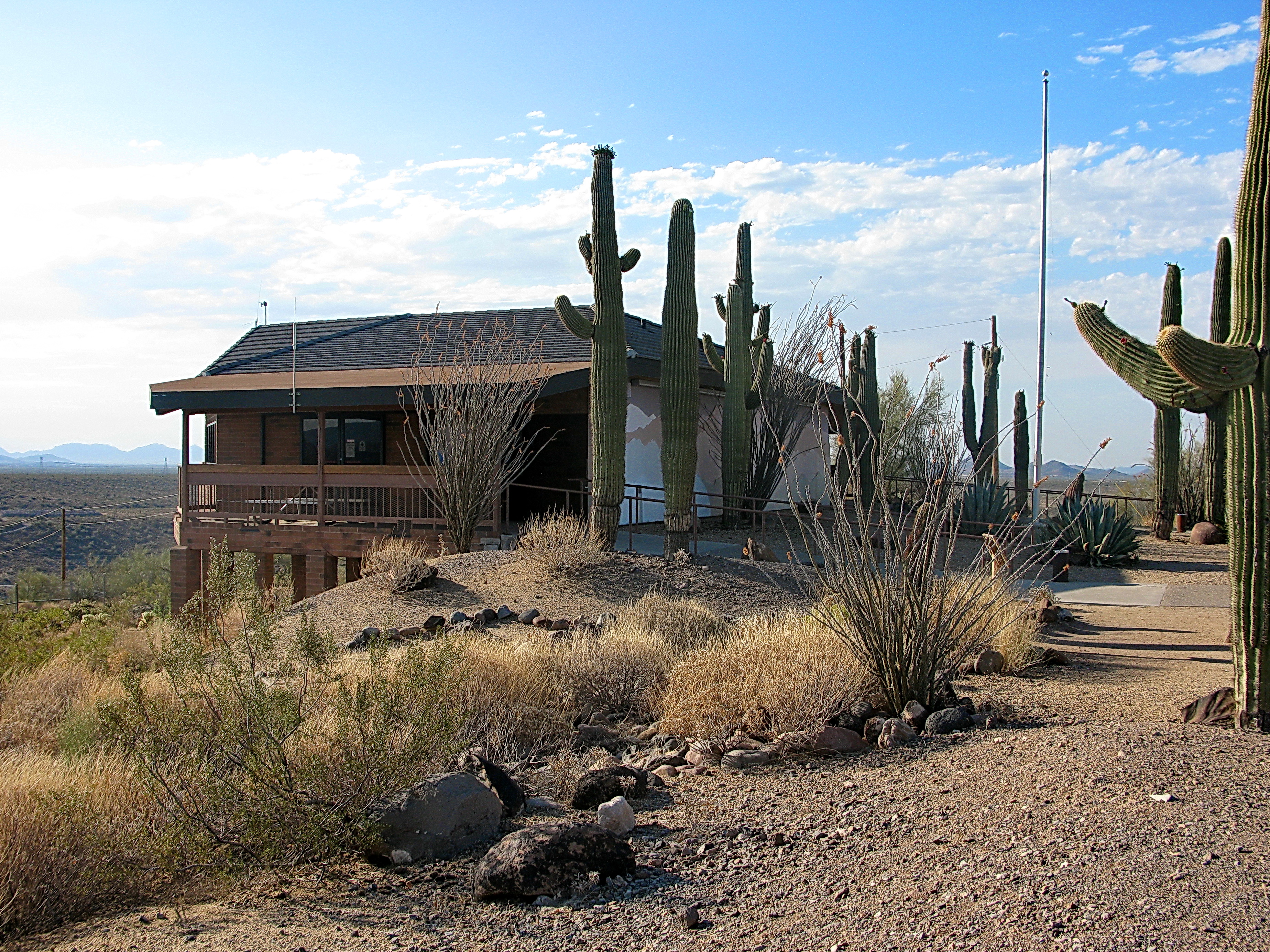
Cave Creek Recreation Area Nature Center

Supermoon to Supermoon

Custom Van.1..... with a modification to the licence plate.
Cave Creek Recreation Area Nature Center
2014-01-20 09.36.15
The West Gets All The Best Colors . . .
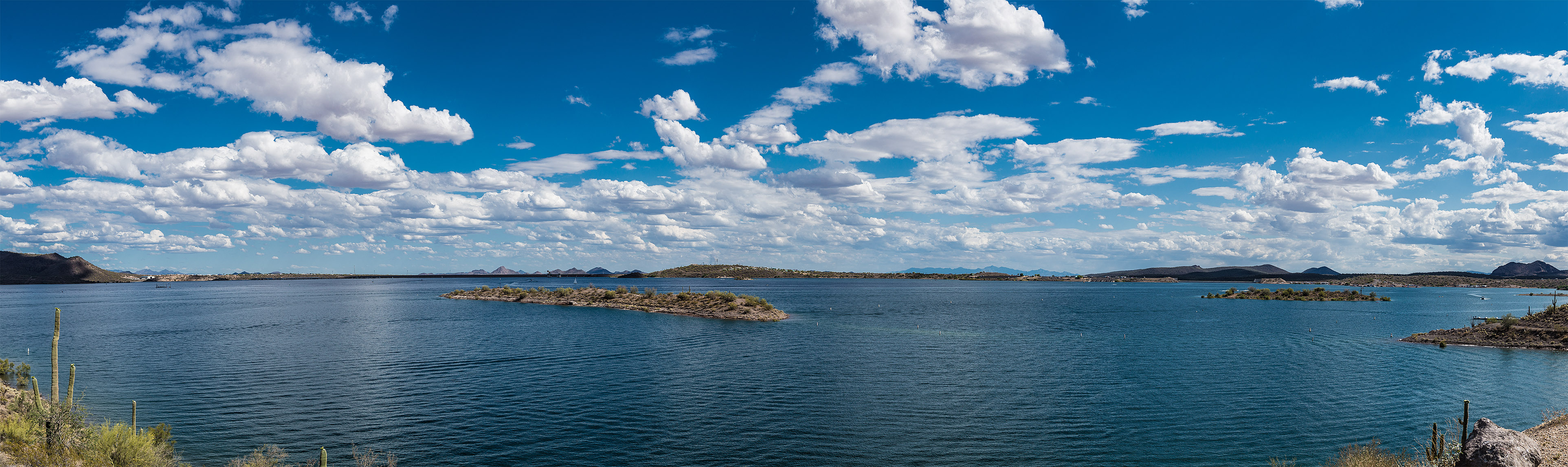
Desert Outdoor Center - Lake Pleasant
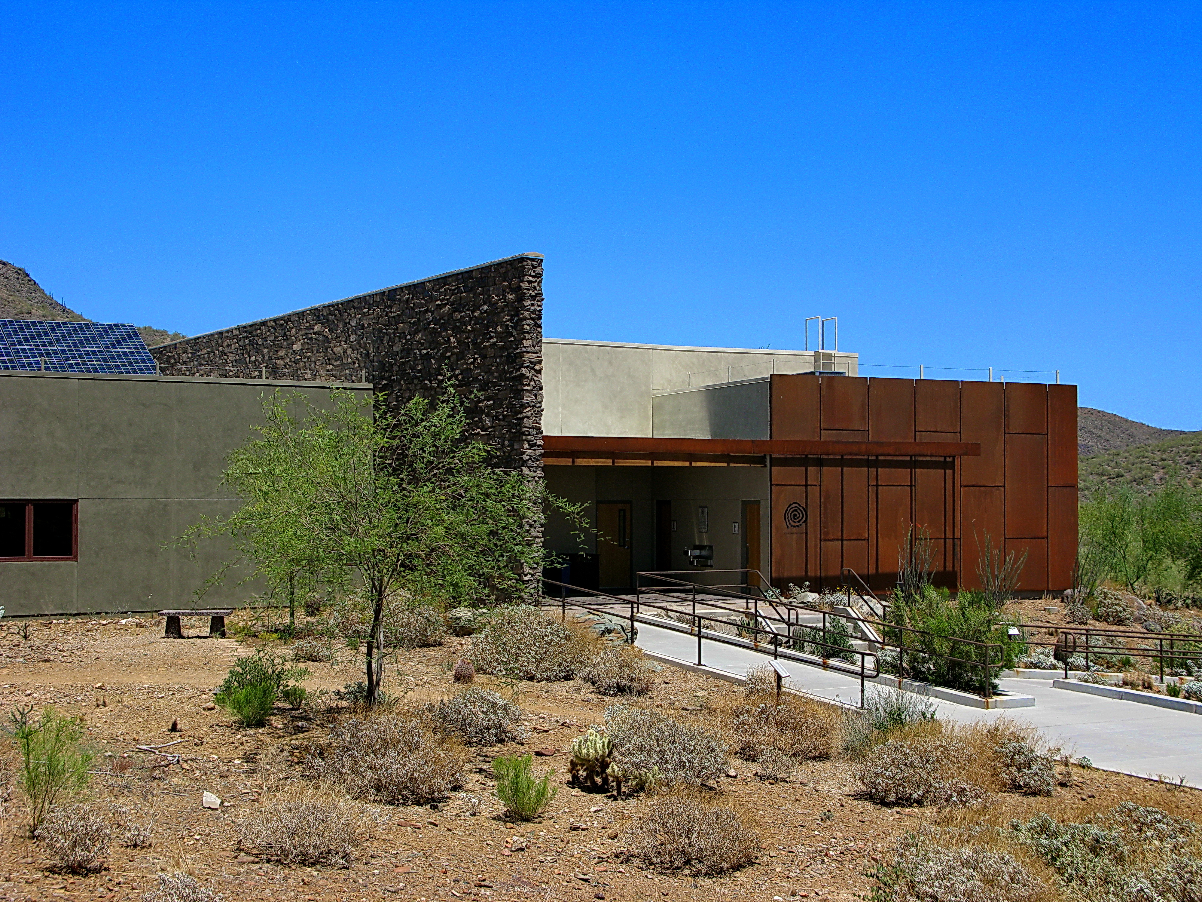
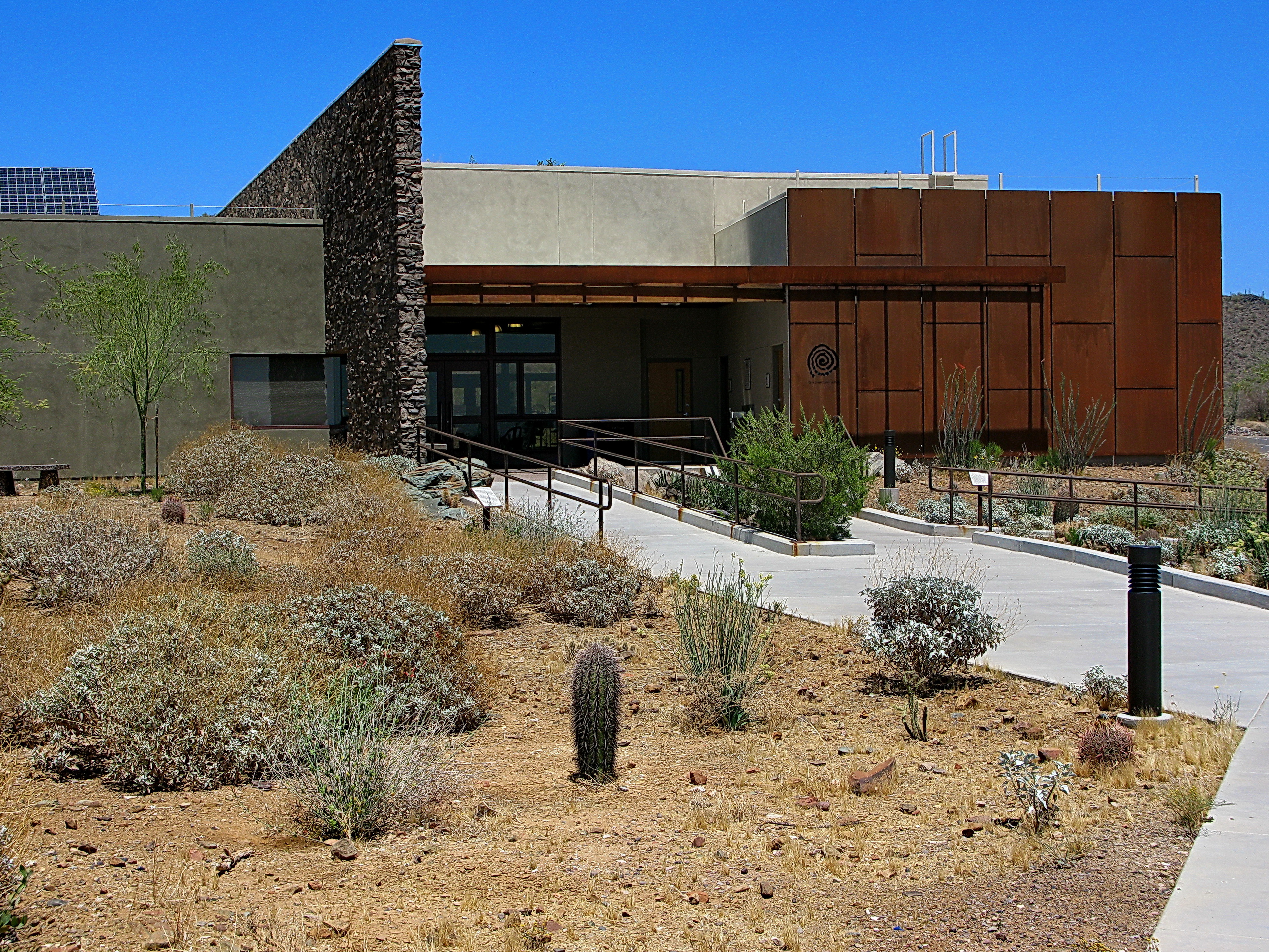
Cave Creek Recreation Area Visitor Center - LEED Certified
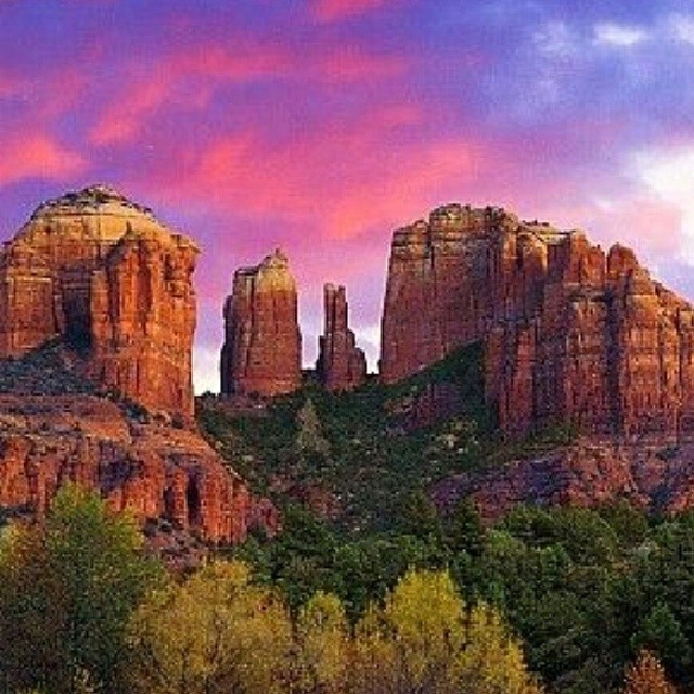
Sedona, Arizona. Breath taking views. #mountain #mountains #sky #beautiful #view #scenery #nature #hike #hiking #landscape #clouds #ic_landscapes #mountainview #bestoftoday #nature_seekers #instanature #instanaturelover #landscape_lovers #peak #landscapes
More friday afternoon views.

Inside-out view
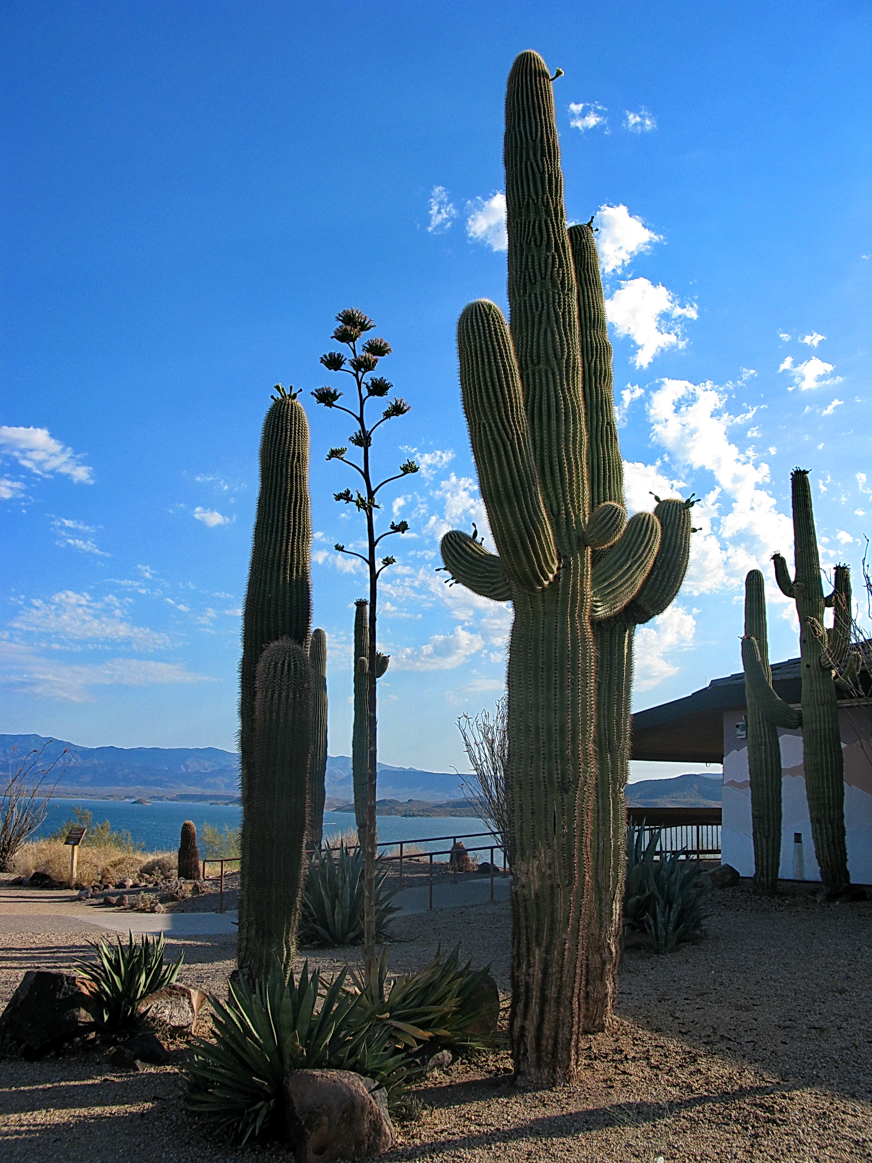
Saguaros by Lake Pleasant Visitor Center
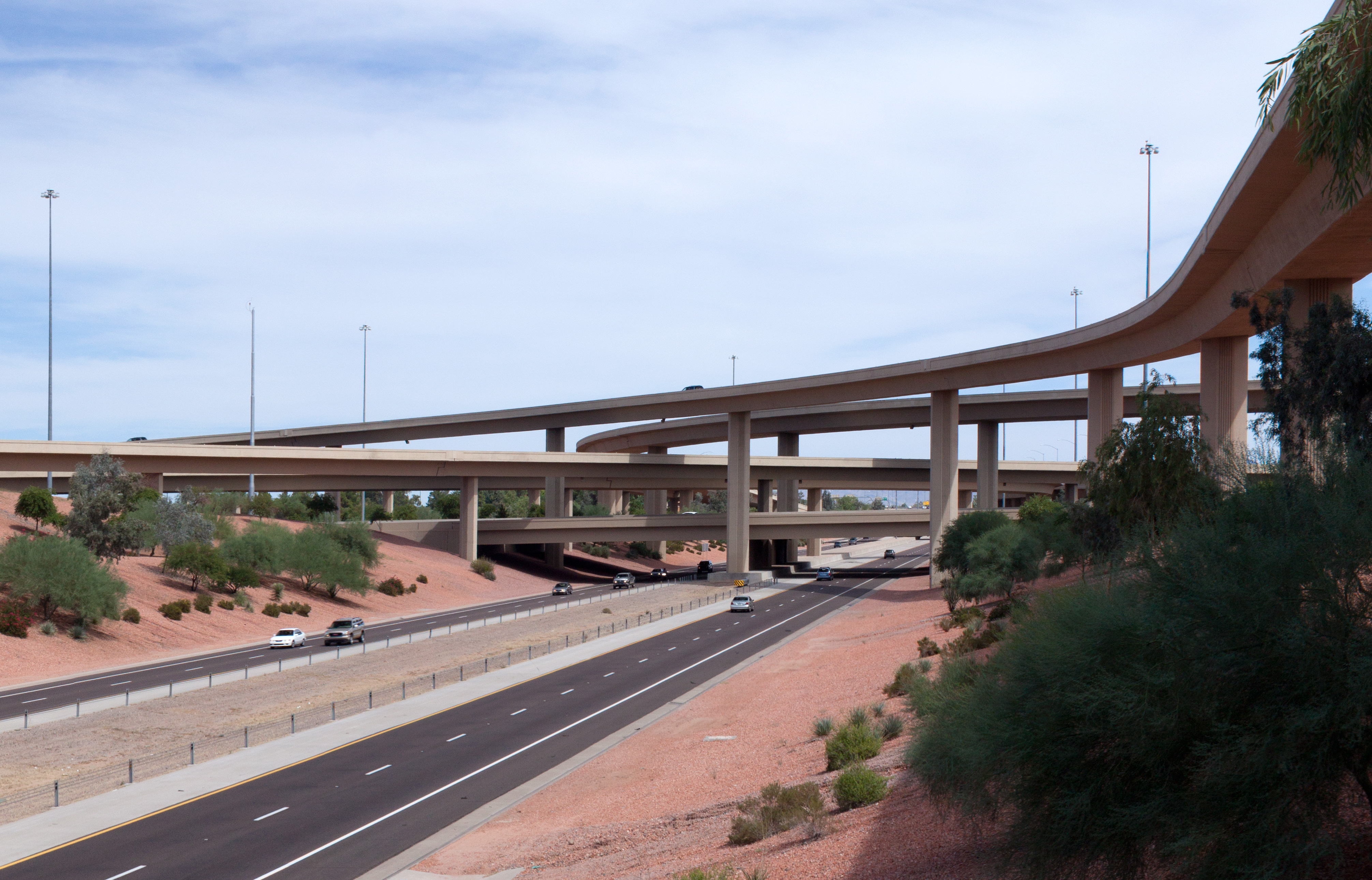
Loop 101 and Interstate 17 Interchange (9-cropped)
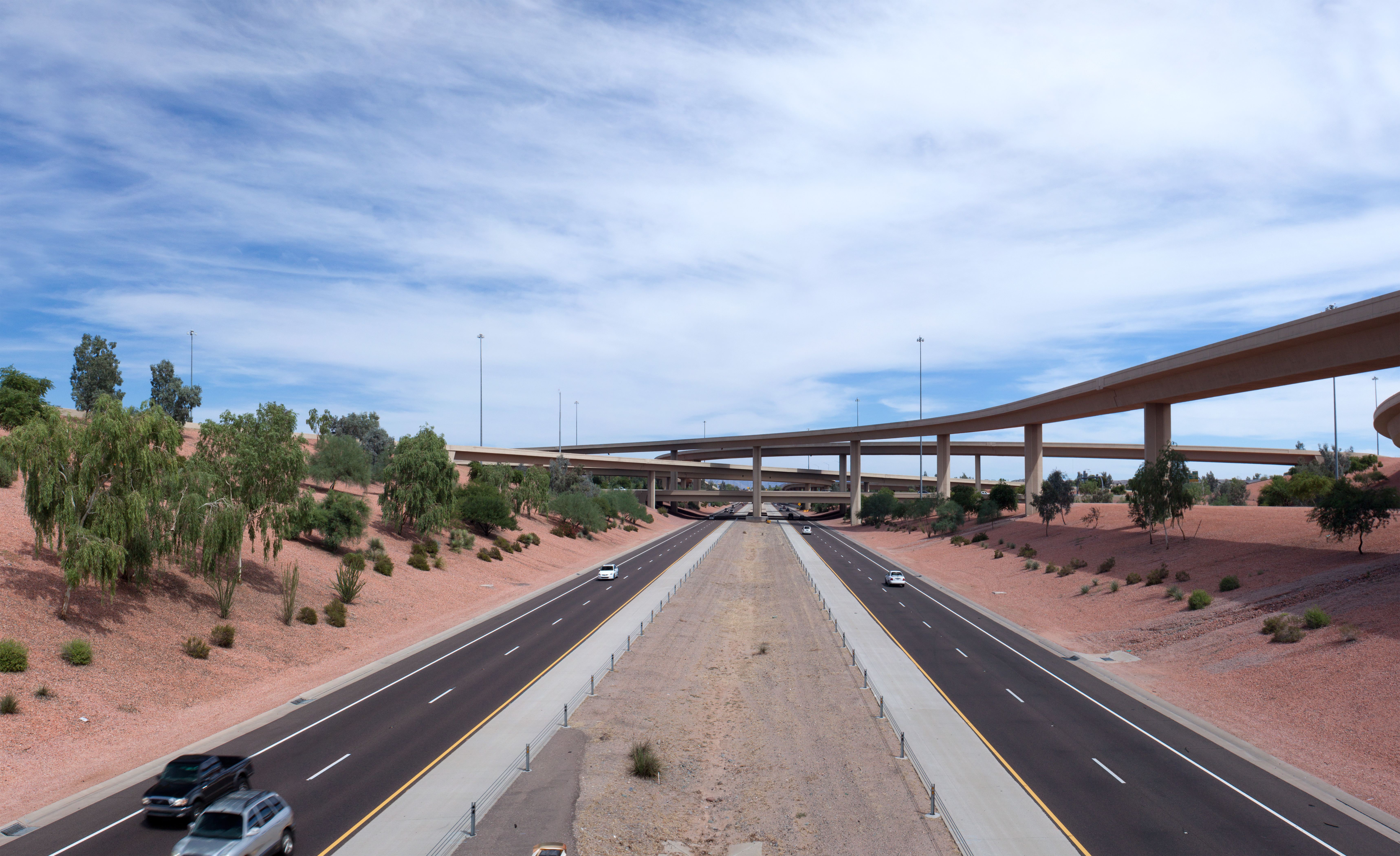
Loop 101 and Interstate 17 Interchange (1)
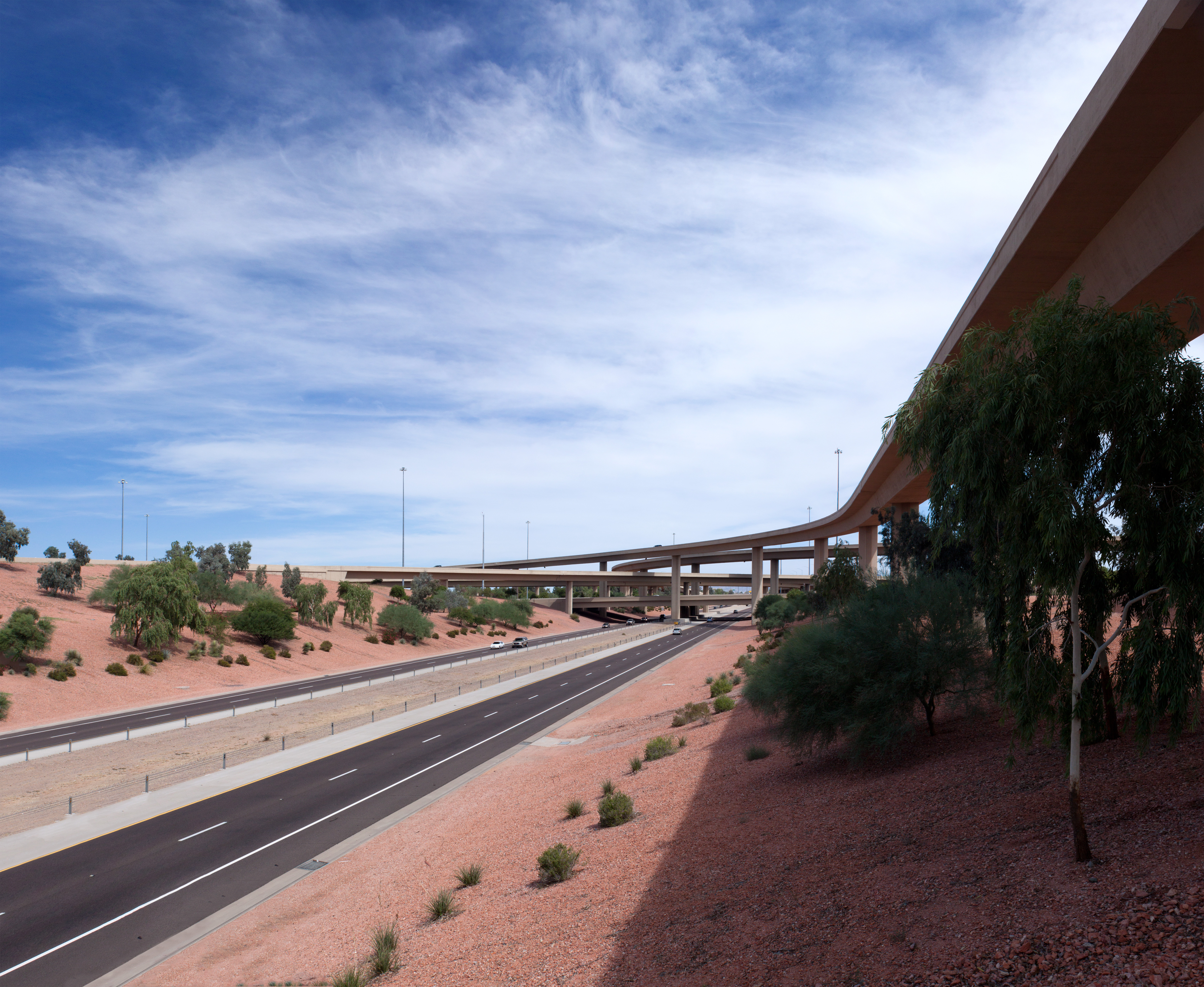
Loop 101 and Interstate 17 Interchange (9)
Lake Pleasant Visitor Center
Best Seats in the House
0725120548a.jpg

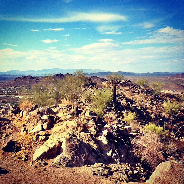
Peoria West Wing Mountain Preserve
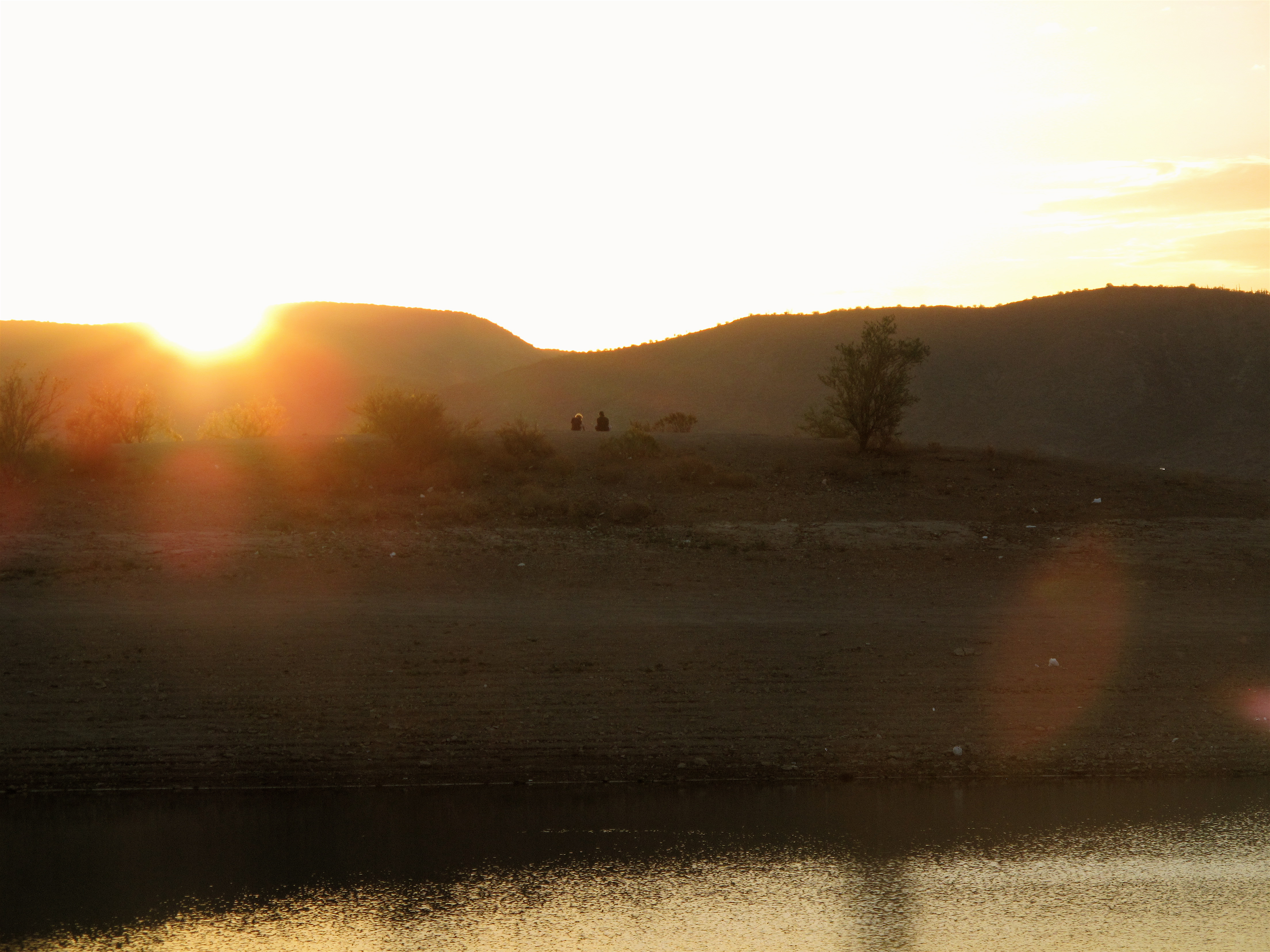
Arizona sunset

Sleeping Indian Mountain
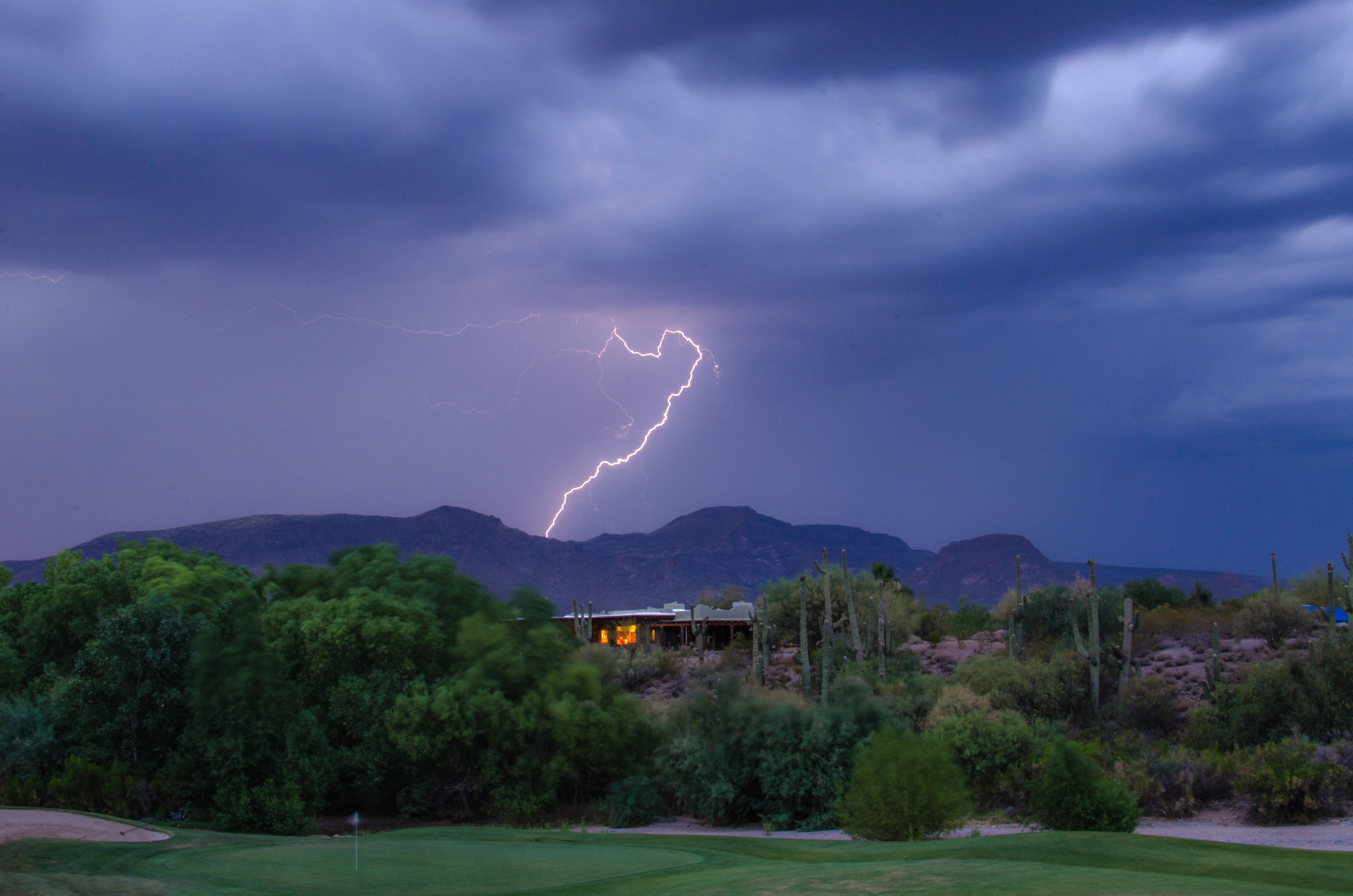
Lightning from Cave Creek

Late afternoon hike. Wish I'd brought the mtb
That day on the beach

Hard life...

The desert at dusk is so beautiful #instagramaz
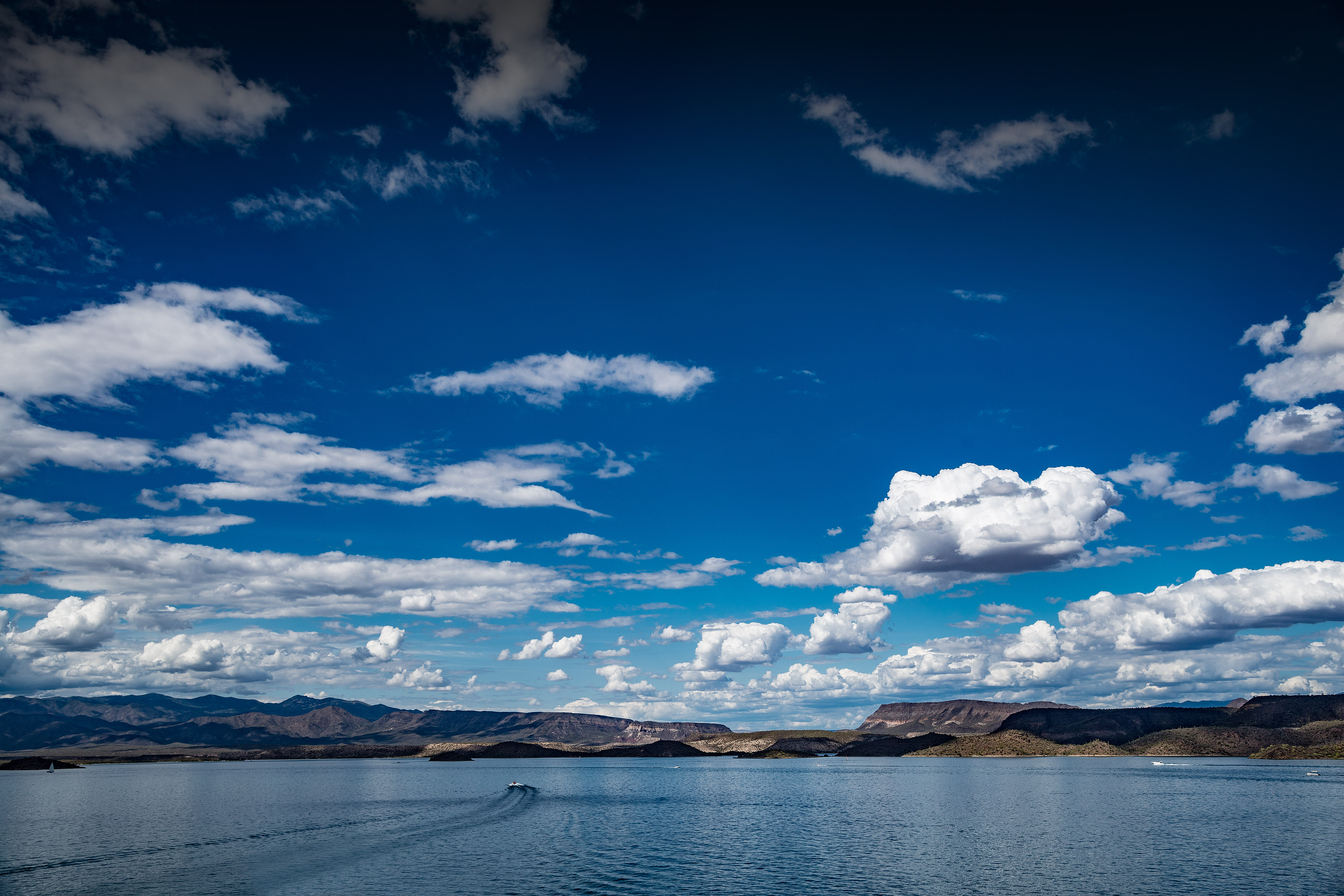
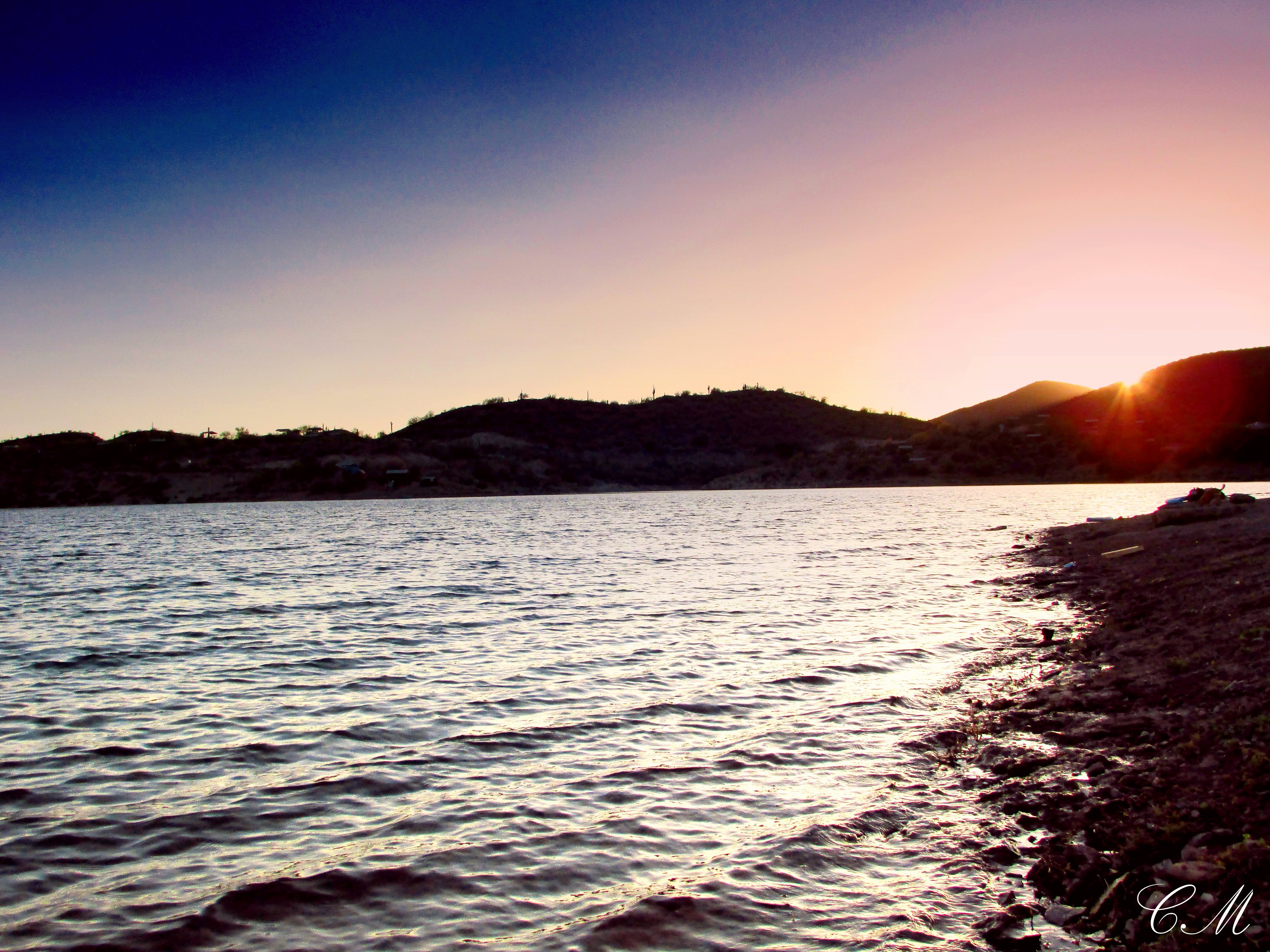
Lake Pleasant, Arizona
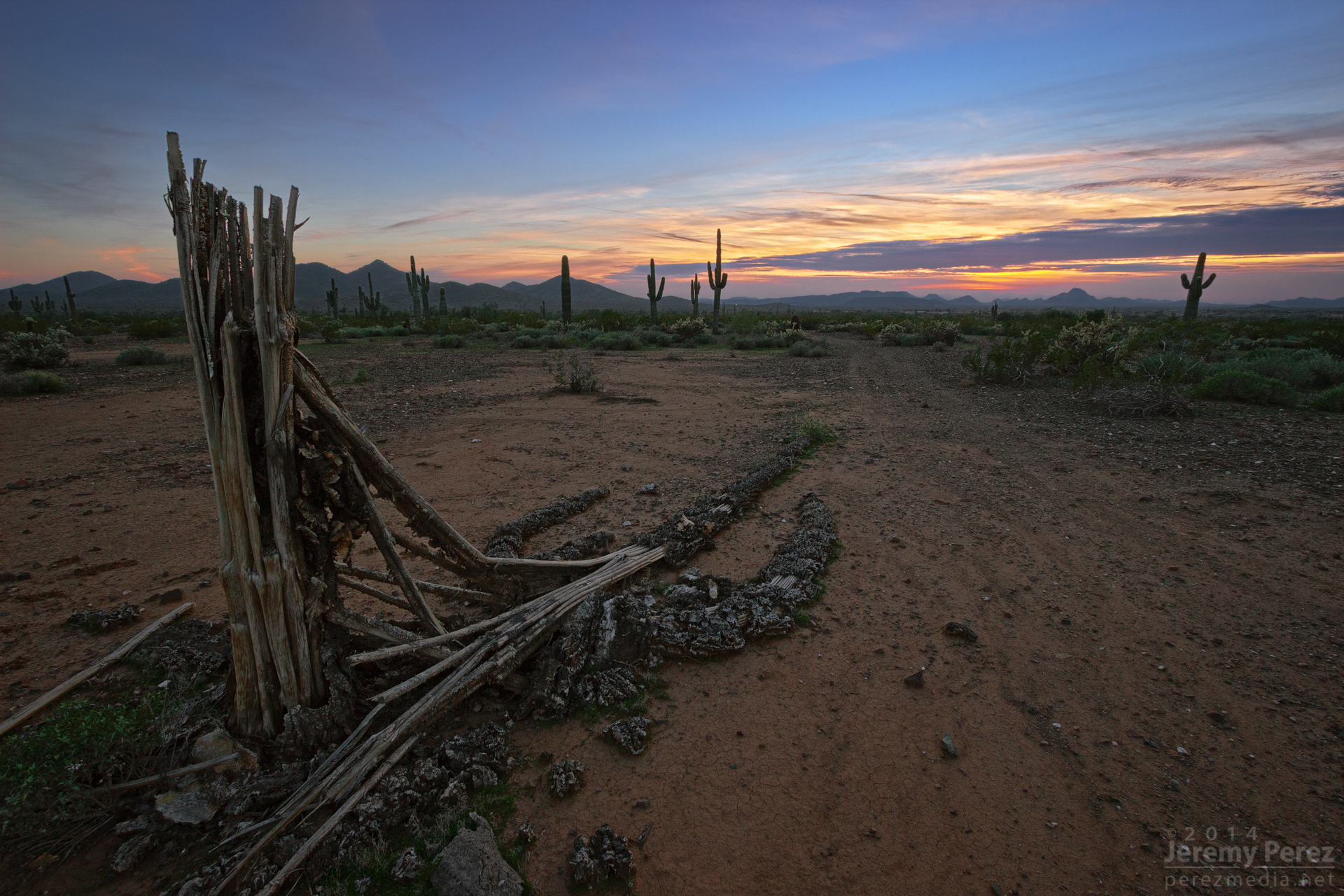
Relic of a Mighty One

Peoria West Wing Mountain Preserve
Lake Pleasant, Arizona

Peoria West Wing Mountain Preserve
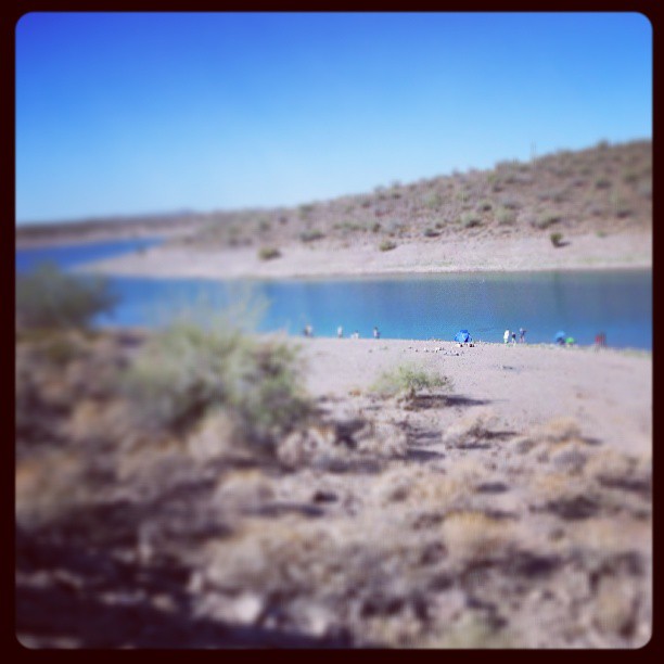
#fishing at the lake.
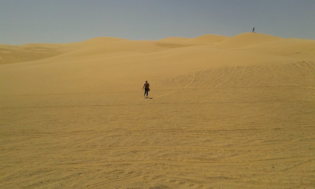
Imperial Sand Dűnes
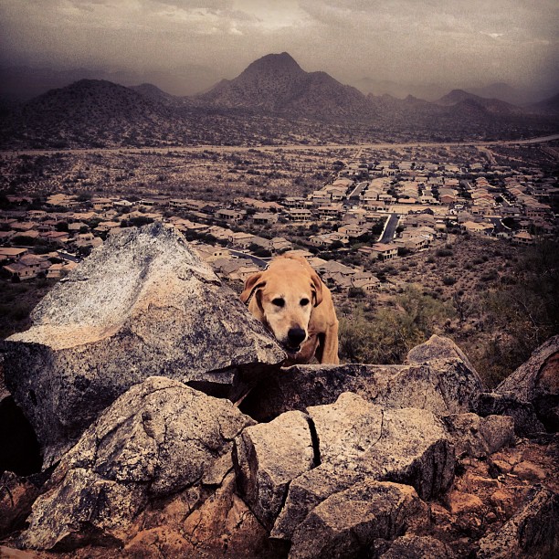
Hiking with the hounds.
Friday afternoon trail romp

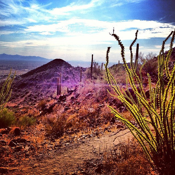
Xavi on Black Canyon Trail
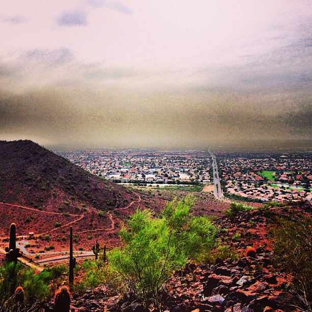
More dust storms
Topographic Map of Desert Hills, New River, AZ, USA
Find elevation by address:

Places near Desert Hills, New River, AZ, USA:
3333 W Long Rifle Rd
Ben Avery Shooting Facility
4044 W Black Canyon Blvd
2407 W Desert Ranch Rd
38626 N Donovan Ct
Phoenix, AZ, USA
40325 N Exploration Trail
3537 W Webster Ct
3165 W Keller Dr
Anthem
40826 N Columbia Trail
2102 W Hidden Treasure Way
39514 N White Tail Ln
1767 W Owens Way
1771 W Morse Dr
2819 W Reedy Creek Dr
1619 W Owens Way
41707 N Golf Crest Rd
2532 W Muirfield Dr
1958 W Wayne Ln
Recent Searches:
- Elevation of Corso Fratelli Cairoli, 35, Macerata MC, Italy
- Elevation of Tallevast Rd, Sarasota, FL, USA
- Elevation of 4th St E, Sonoma, CA, USA
- Elevation of Black Hollow Rd, Pennsdale, PA, USA
- Elevation of Oakland Ave, Williamsport, PA, USA
- Elevation of Pedrógão Grande, Portugal
- Elevation of Klee Dr, Martinsburg, WV, USA
- Elevation of Via Roma, Pieranica CR, Italy
- Elevation of Tavkvetili Mountain, Georgia
- Elevation of Hartfords Bluff Cir, Mt Pleasant, SC, USA