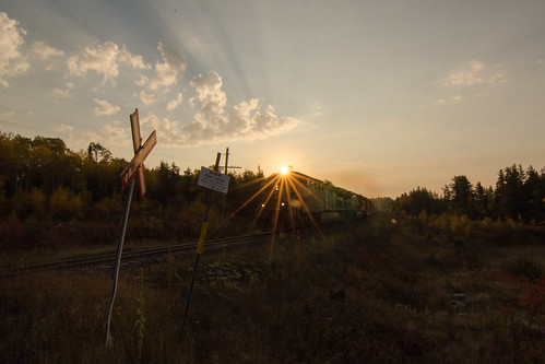
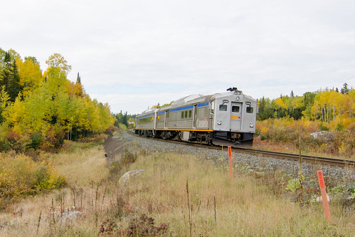
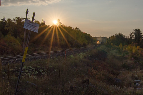
Elevation of Des Sapins Ave, Dubreuilville, ON P0S 1B0, Canada
Location: Canada > Ontario > Algoma District > Dubreuilville > Dubreuilville >
Longitude: -84.554421
Latitude: 48.3493587
Elevation: 338m / 1109feet
Barometric Pressure: 0KPa
Related Photos:
Topographic Map of Des Sapins Ave, Dubreuilville, ON P0S 1B0, Canada
Find elevation by address:

Places near Des Sapins Ave, Dubreuilville, ON P0S 1B0, Canada:
Dubreuilville
Dubreuilville
Wawa
Wawa
Mission Road
Best Northern Motel And Restaurant
White River
White River
Hornepayne
86 Third Ave
Third Ave, Hornepayne, ON P0M, Canada
86 Third St
White Lake Provincial Park Campground
Recent Searches:
- Elevation of Sullivan Hill, New York, New York, 10002, USA
- Elevation of Morehead Road, Withrow Downs, Charlotte, Mecklenburg County, North Carolina, 28262, USA
- Elevation of 2800, Morehead Road, Withrow Downs, Charlotte, Mecklenburg County, North Carolina, 28262, USA
- Elevation of Yangbi Yi Autonomous County, Yunnan, China
- Elevation of Pingpo, Yangbi Yi Autonomous County, Yunnan, China
- Elevation of Mount Malong, Pingpo, Yangbi Yi Autonomous County, Yunnan, China
- Elevation map of Yongping County, Yunnan, China
- Elevation of North 8th Street, Palatka, Putnam County, Florida, 32177, USA
- Elevation of 107, Big Apple Road, East Palatka, Putnam County, Florida, 32131, USA
- Elevation of Jiezi, Chongzhou City, Sichuan, China
- Elevation of Chongzhou City, Sichuan, China
- Elevation of Huaiyuan, Chongzhou City, Sichuan, China
- Elevation of Qingxia, Chengdu, Sichuan, China
- Elevation of Corso Fratelli Cairoli, 35, Macerata MC, Italy
- Elevation of Tallevast Rd, Sarasota, FL, USA
- Elevation of 4th St E, Sonoma, CA, USA
- Elevation of Black Hollow Rd, Pennsdale, PA, USA
- Elevation of Oakland Ave, Williamsport, PA, USA
- Elevation of Pedrógão Grande, Portugal
- Elevation of Klee Dr, Martinsburg, WV, USA


