Elevation of Derma, MS, USA
Location: United States > Mississippi > Calhoun County >
Longitude: -89.284515
Latitude: 33.8556691
Elevation: 89m / 292feet
Barometric Pressure: 100KPa
Elevation Map:
Satellite Map:
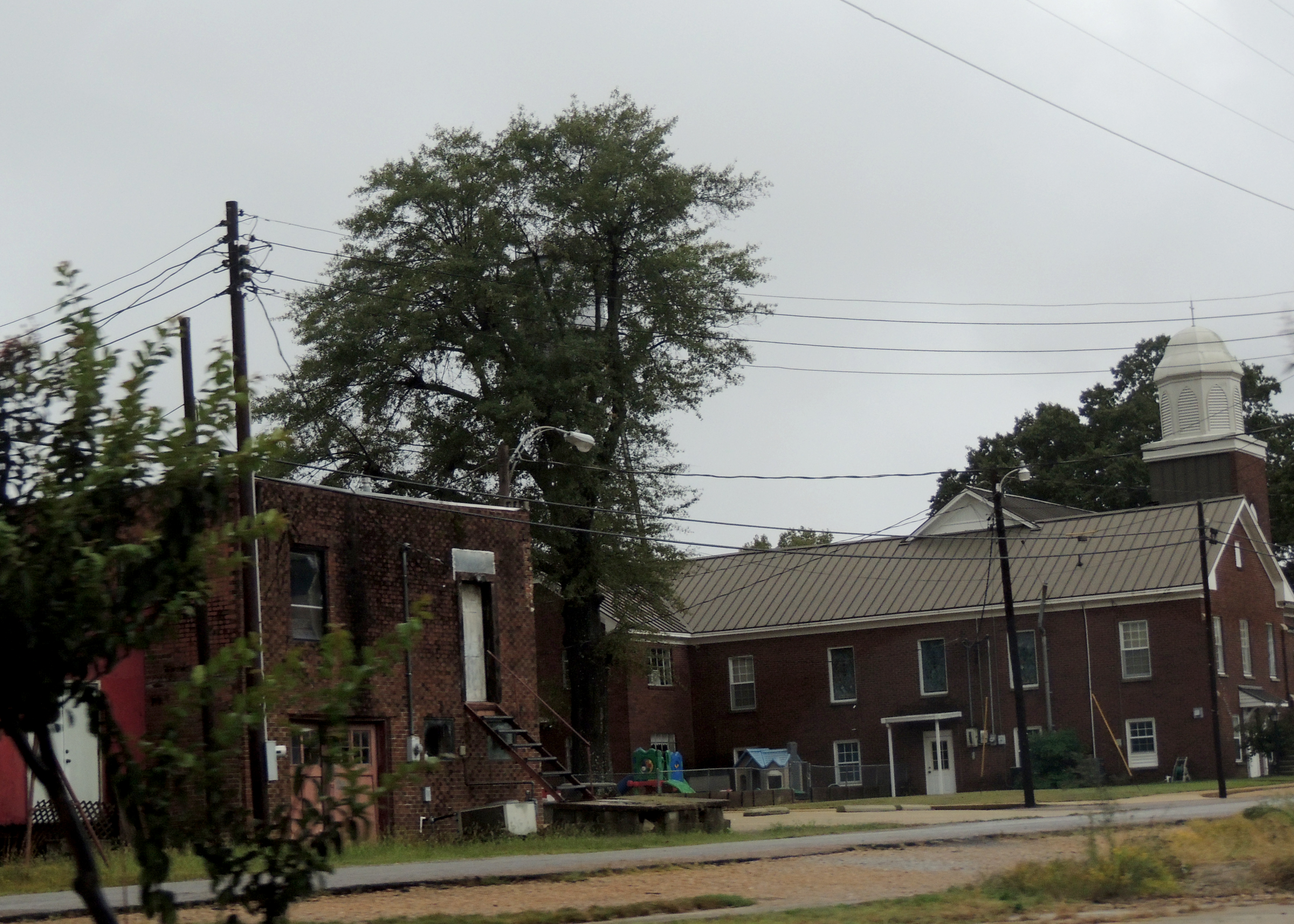
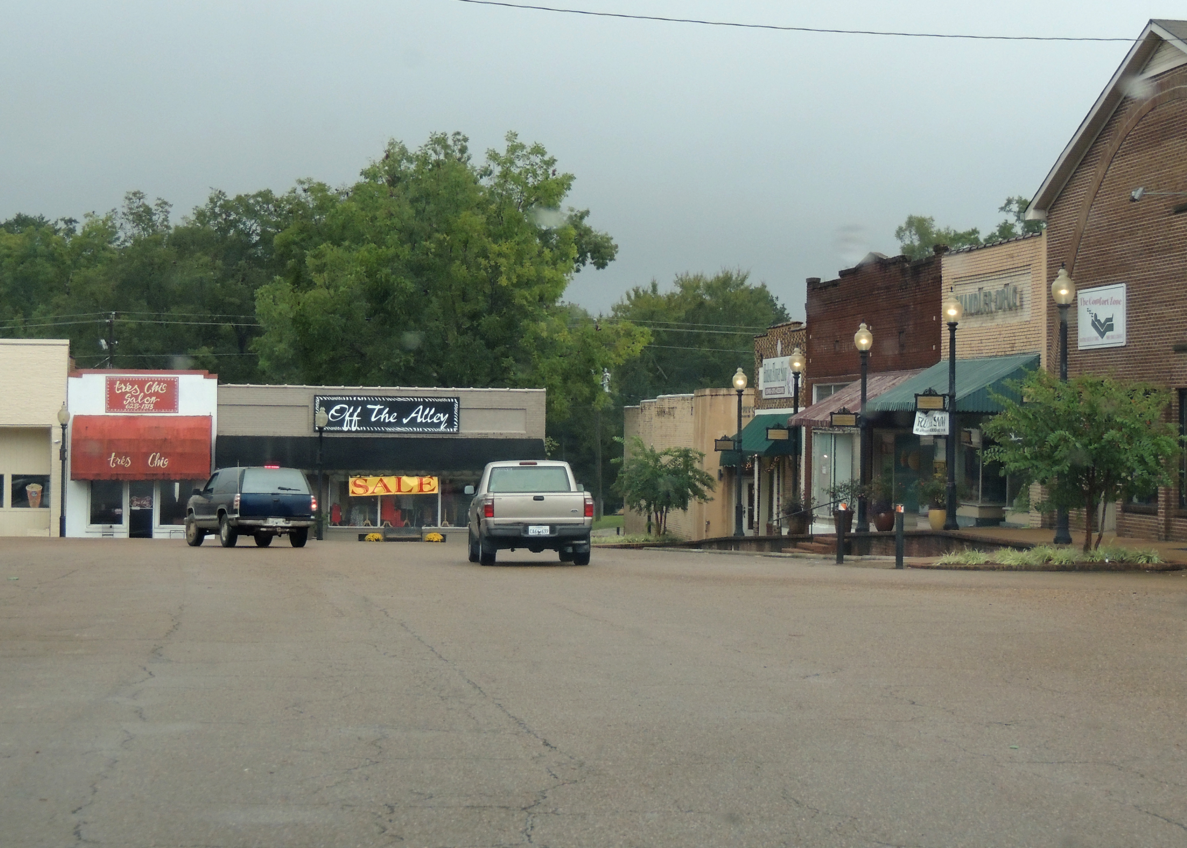
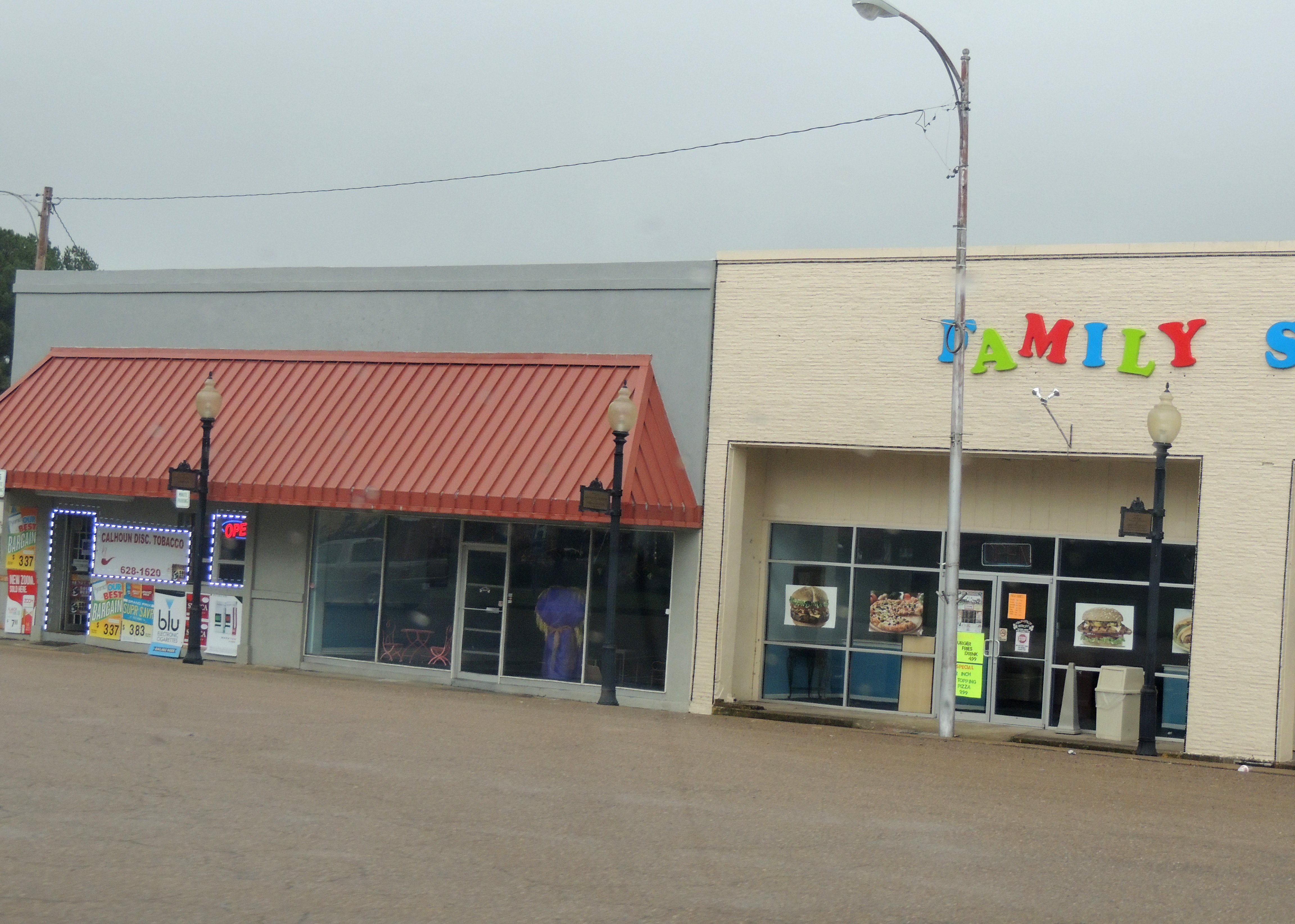
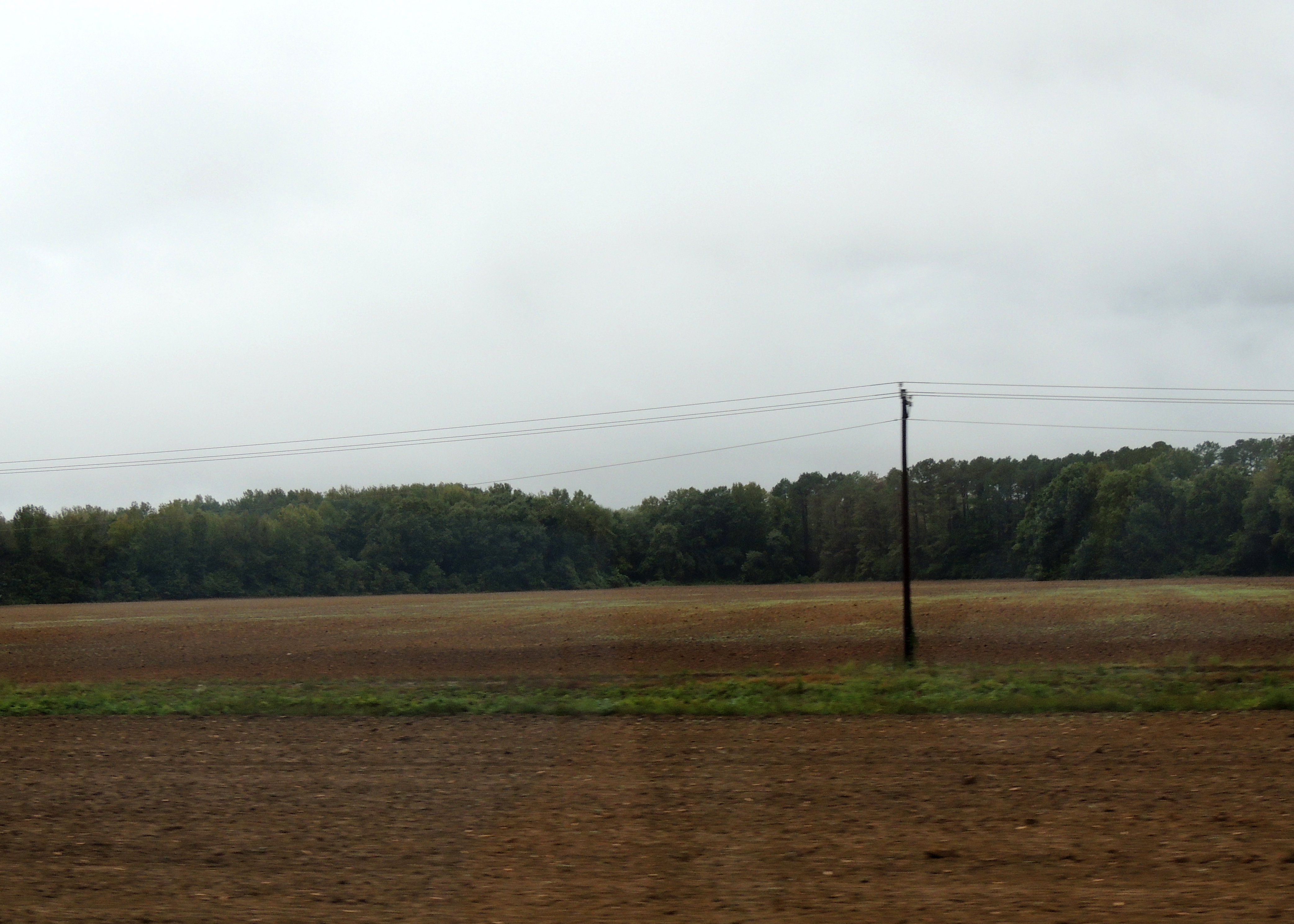
Related Photos:

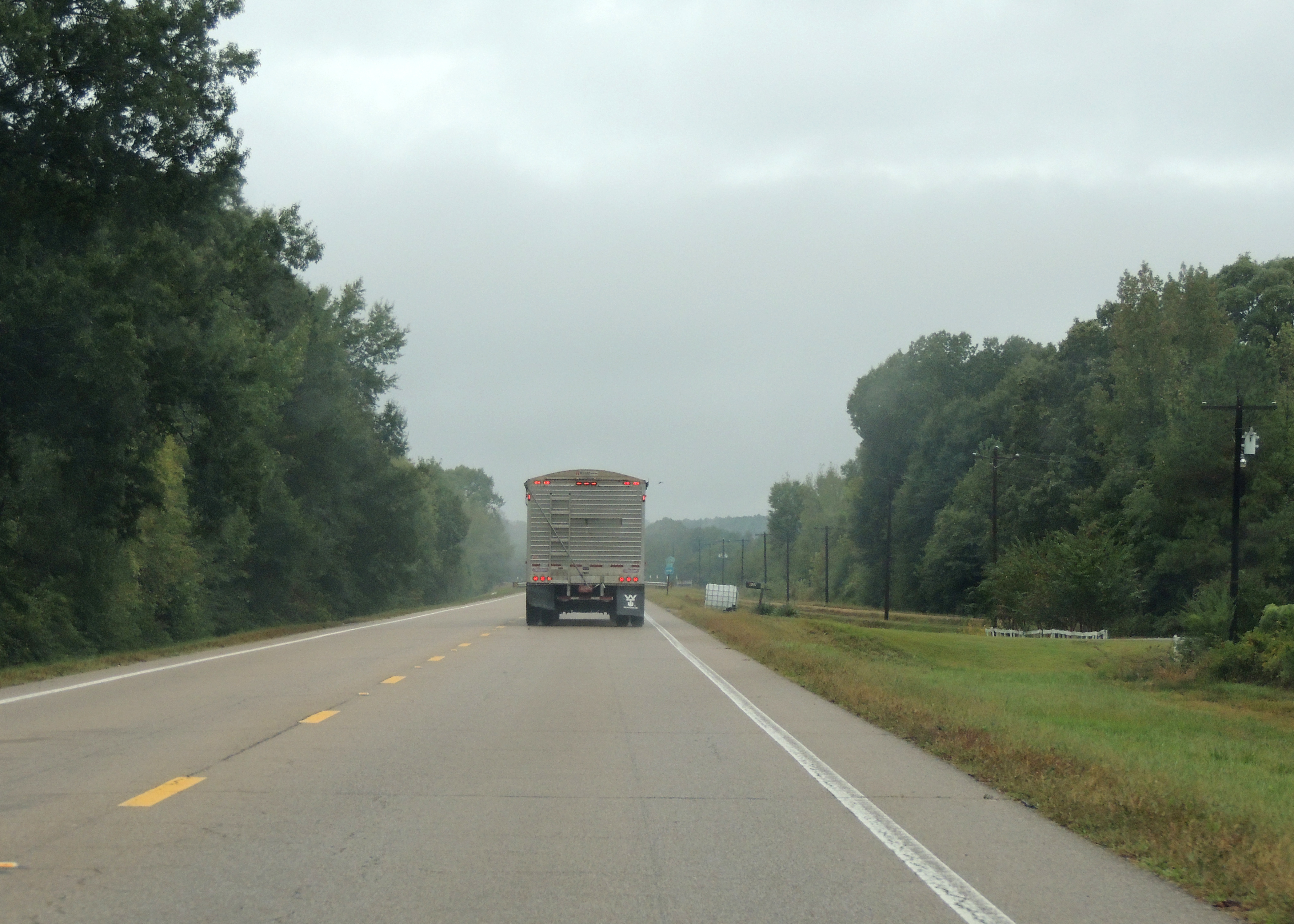
drive down

drive down
drive down

drive down
drive down
drive down
drive down

drive down

drive down
drive down

drive down
drive down
drive down

drive down

drive down

drive down
drive down
drive down

Haworth, Inc
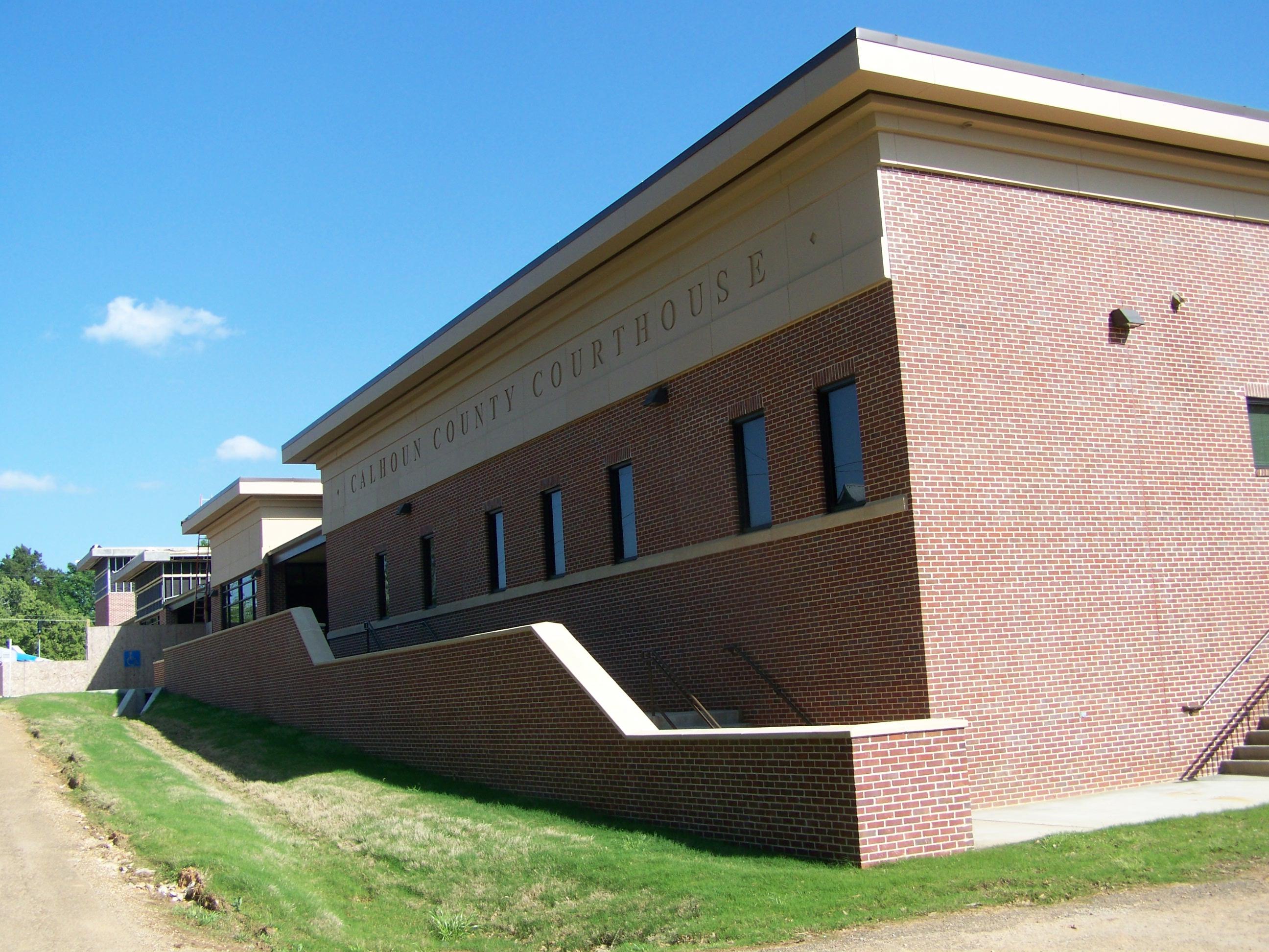
Calhoun County Courthouse- Pittsboro MS (1)
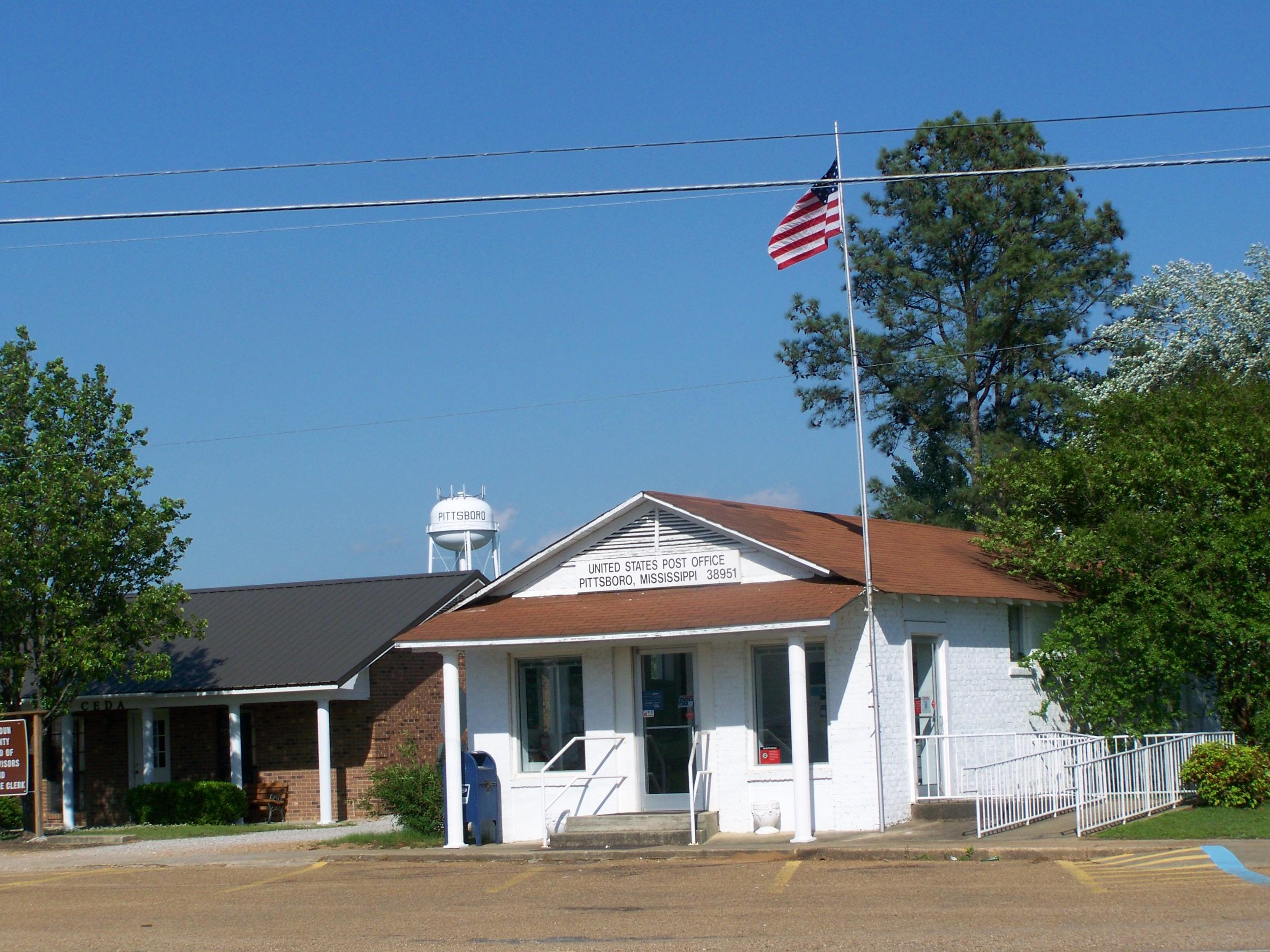
Pittsboro MS
Topographic Map of Derma, MS, USA
Find elevation by address:

Places in Derma, MS, USA:
Places near Derma, MS, USA:
E Main St, Derma, MS, USA
Calhoun County
259 Co Rd 123
MS-8, Houston, MS, USA
MS-, Coffeeville, MS, USA
Woodland
Co Rd, Bruce, MS, USA
Chickasaw County
Natchez Trace Parkway
Houston
525 Co Rd 409
Cooke Road
Co Rd, Woodland, MS, USA
New Houlka
362 Lindsey Loop
MS-, Pontotoc, MS, USA
4038 Macedonia Rd
4038 Macedonia Rd
4038 Macedonia Rd
4038 Macedonia Rd
Recent Searches:
- Elevation of Corso Fratelli Cairoli, 35, Macerata MC, Italy
- Elevation of Tallevast Rd, Sarasota, FL, USA
- Elevation of 4th St E, Sonoma, CA, USA
- Elevation of Black Hollow Rd, Pennsdale, PA, USA
- Elevation of Oakland Ave, Williamsport, PA, USA
- Elevation of Pedrógão Grande, Portugal
- Elevation of Klee Dr, Martinsburg, WV, USA
- Elevation of Via Roma, Pieranica CR, Italy
- Elevation of Tavkvetili Mountain, Georgia
- Elevation of Hartfords Bluff Cir, Mt Pleasant, SC, USA