Elevation of Derby Ave NW, Swisher, IA, USA
Location: United States > Iowa > Johnson County > Monroe > Swisher >

Longitude: -91.762819

Latitude: 41.8362361

Elevation: 260m / 853feet

Barometric Pressure: 98KPa

Elevation Map:

elevation map of Derby Ave NW, Swisher, IA, USA
Satellite Map:

Satellite map of Derby Ave NW, Swisher, IA, USA
Related Photos:

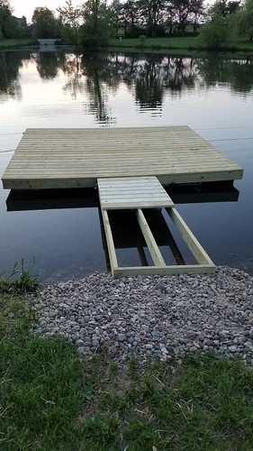
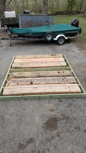
Frisk Dock Walkway
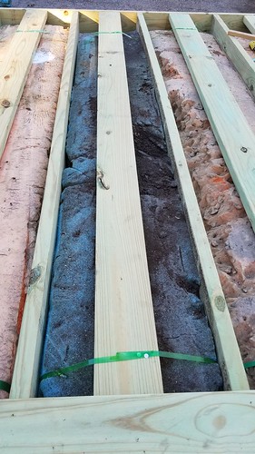
A new dock that my parents are building, due to the old one rotting and falling apart.
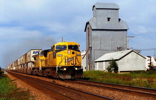
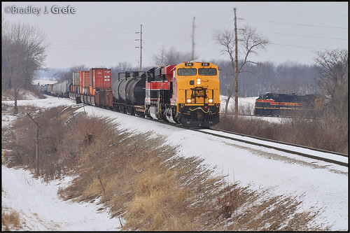
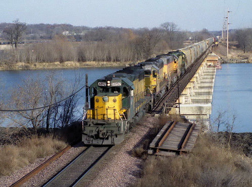
train rail iowa transportation hawkeye
Norway-Iowa, that is.
Frisk Dock Summer 2018
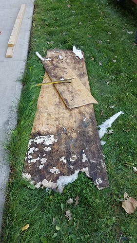
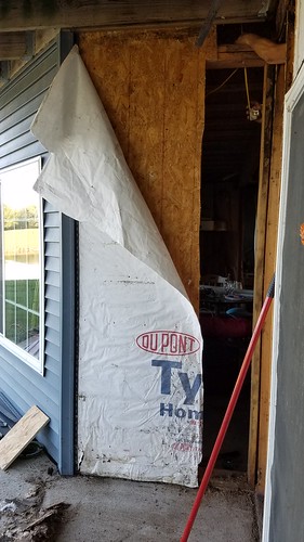
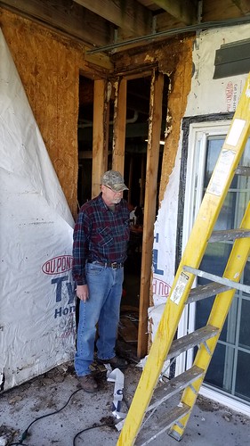
Patio wall rot repair 2017
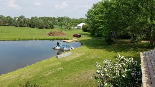
A new dock that my parents are building, due to the old one rotting and falling apart.
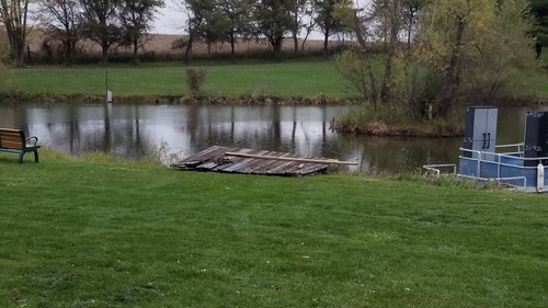
The ending of the old rotting dock
CBBI meets CRSA - Yocum Connection
train rail iowa transportation hawkeye
The North Western
Scattered view.
geotagged nikonn75 cedarrapidsia crst promaster100400ƒ4567
CRST school CRIA
Lapland Longspurs
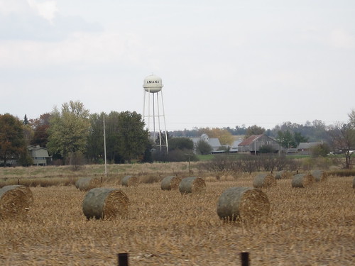
scenery watertower iowa amana amanacoloniesiowa canonpowershots95
View of Amana from Road 10-11
iowa amanaiowa amanacolonies historicgermanvillagelandmark autumn fallseason scenery alongtheroad fallcolors hilltop view zoom 2017 sonyrx100ii
Amana backroads drive 10-24-17 02
Patio wall rot repair 2017
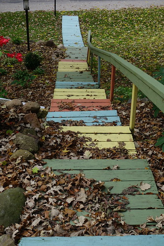
iowa amanaiowa amanacolonies historicgermanvillagelandmark autumn fallseason fallleaves steps multicolors deborahkimmgallery view 2017 sonyrx100ii
Amana, Deborah Kimm Gallery 10-24-17 08
Minors - Midwest League 2013 - Cedar Rapids Kernels vs. Beloit Snappers
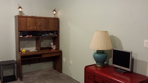
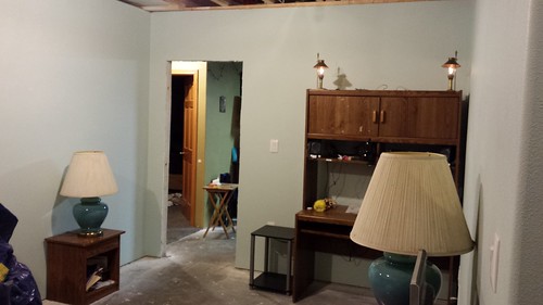
Basement Office Progress 2016
Patio wall rot repair 2017
Basement Office Progress 2016
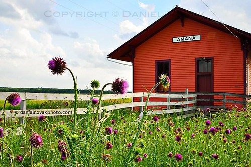
old orange plant field station rural train fence unitedstates bright thistle iowa trainstation ia bloom historical amana
Old Train Station in Amana, Iowa (IA) (DTA_4465)
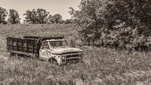
truck ruraldecay sepia platinum monochrome blackandwhite amanacolonies homestead iowa grass trees roadside nikond7100 afsdxvrnikkor18200mmf3556gifed oliverleverittphotography
Dead Truck
film landscape kodak iowa panoramic hasselblad xpan 400vc
Hawkeye Wildlife Management Area
red sun color field liberty dawn corn north harvest iowa rise
Corn field at dawn
raw
DSC01072.ARW
Iowa wind power!
film landscape kodak iowa panoramic hasselblad xpan 400vc
Hawkeye Wildlife Management Area
square squareformat iphoneography instagramapp uploaded:by=instagram
Iowa autumn. #northliberty
road farm country farming iowa line pole beatles abbeyroad agriculture hilly gravel bentoncounty goldenslumberscarrythatweighttheend ©shariharvey
Boy, you're gonna carry that weight . . . (5 of 8)
Horses in the Pasture (8)
park jones rapids cedar hdr cedarrapids jonespark
Sun peeking out
square squareformat iphoneography instagramapp uploaded:by=instagram
#goodmorningiowa heading back to the 413 now.
Yellow & Blue.
city train river rail iowa rapids cedar transportation and hawkeye mid gp9 crandic
Iowa 1995
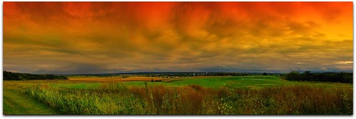
sky panorama clouds saturated colorful pano surreal iowa golfcourse roygbiv amanacolonies middleamanaiowa
Amana Colonies
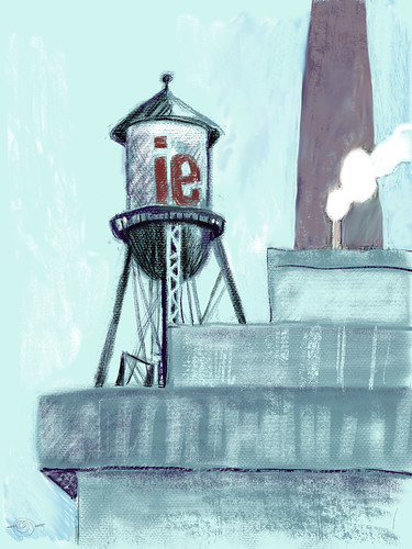
landscape industriallandscape watertower cedarrapidsiowa digitaldrawing procreate smokestack marciamilnerbrage
IE Water Tower, Prairie Creek Generating Station
canoneos20d amana otherbirds
June 30 2007 134
canoneos20d amana otherbirds
June 30 2007 134
canoneos20d amana otherbirds
June 30 2007 134
raw iphotooriginal iphotoconverted
DSC00129.ARW
Cloud patch.