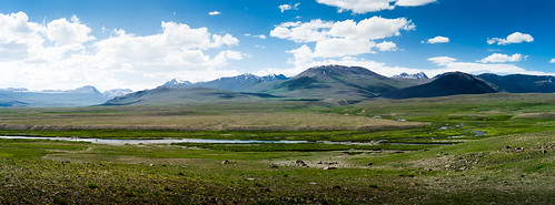
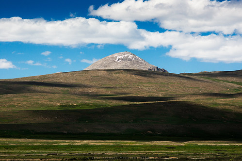
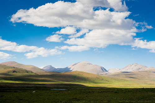
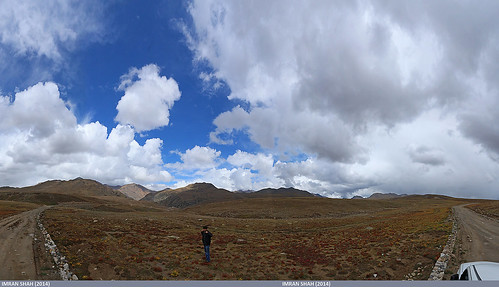
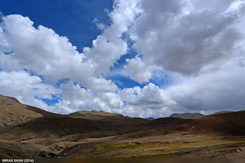
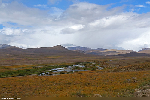
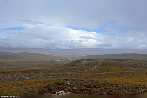
Elevation of Deosai National Park, Deosai Park Rd
Longitude: 75.471831
Latitude: 34.9704848
Elevation: 4216m / 13832feet
Barometric Pressure: 60KPa
Related Photos:
Topographic Map of Deosai National Park, Deosai Park Rd
Find elevation by address:

Places near Deosai National Park, Deosai Park Rd:
Bara Pani Bridge
Deosai Plains
Deosai Top
Rainbow Lake
Astore Valley
Burzil Pass
Minimarg-domel Road
Minimarg
Dras
Hotel Sonamarg Glacier
Sonamarg
Hotel Village Walk
Thajiwas Glacier, Sonmarg, Kashmir
Forest Block
Amarnath Temple
Panchatarani
Taobat
Gurez Valley
Mount Kolahoi
Amarnath Gufa
Recent Searches:
- Elevation of Corso Fratelli Cairoli, 35, Macerata MC, Italy
- Elevation of Tallevast Rd, Sarasota, FL, USA
- Elevation of 4th St E, Sonoma, CA, USA
- Elevation of Black Hollow Rd, Pennsdale, PA, USA
- Elevation of Oakland Ave, Williamsport, PA, USA
- Elevation of Pedrógão Grande, Portugal
- Elevation of Klee Dr, Martinsburg, WV, USA
- Elevation of Via Roma, Pieranica CR, Italy
- Elevation of Tavkvetili Mountain, Georgia
- Elevation of Hartfords Bluff Cir, Mt Pleasant, SC, USA
