Elevation of Dentonville Rd, Okmulgee, OK, USA
Location: United States > Oklahoma > Okmulgee County > Okmulgee >
Longitude: -96.139287
Latitude: 35.7155272
Elevation: 215m / 705feet
Barometric Pressure: 99KPa
Elevation Map:
Satellite Map:
Related Photos:
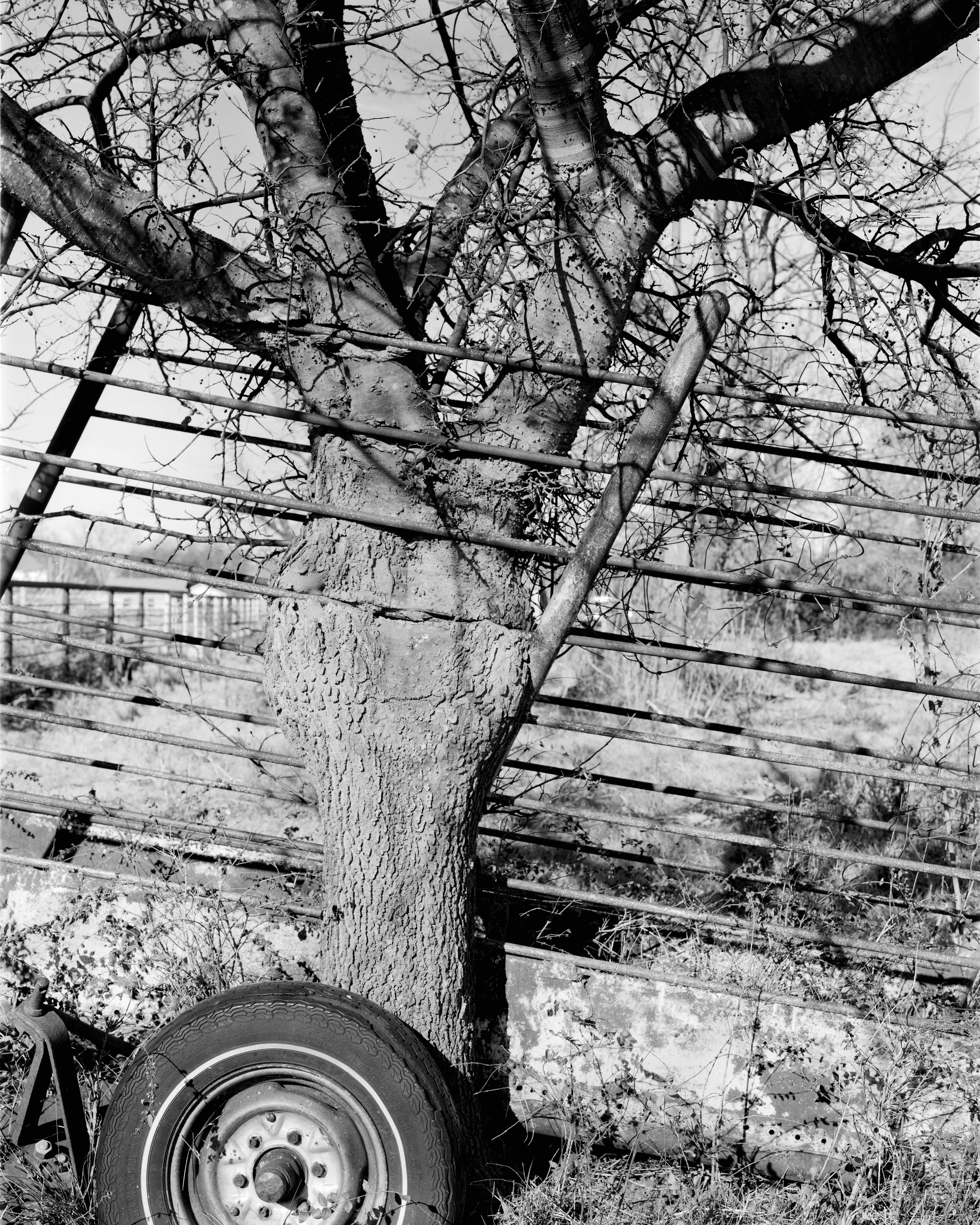
Tree and chute

Feet up, Sun down

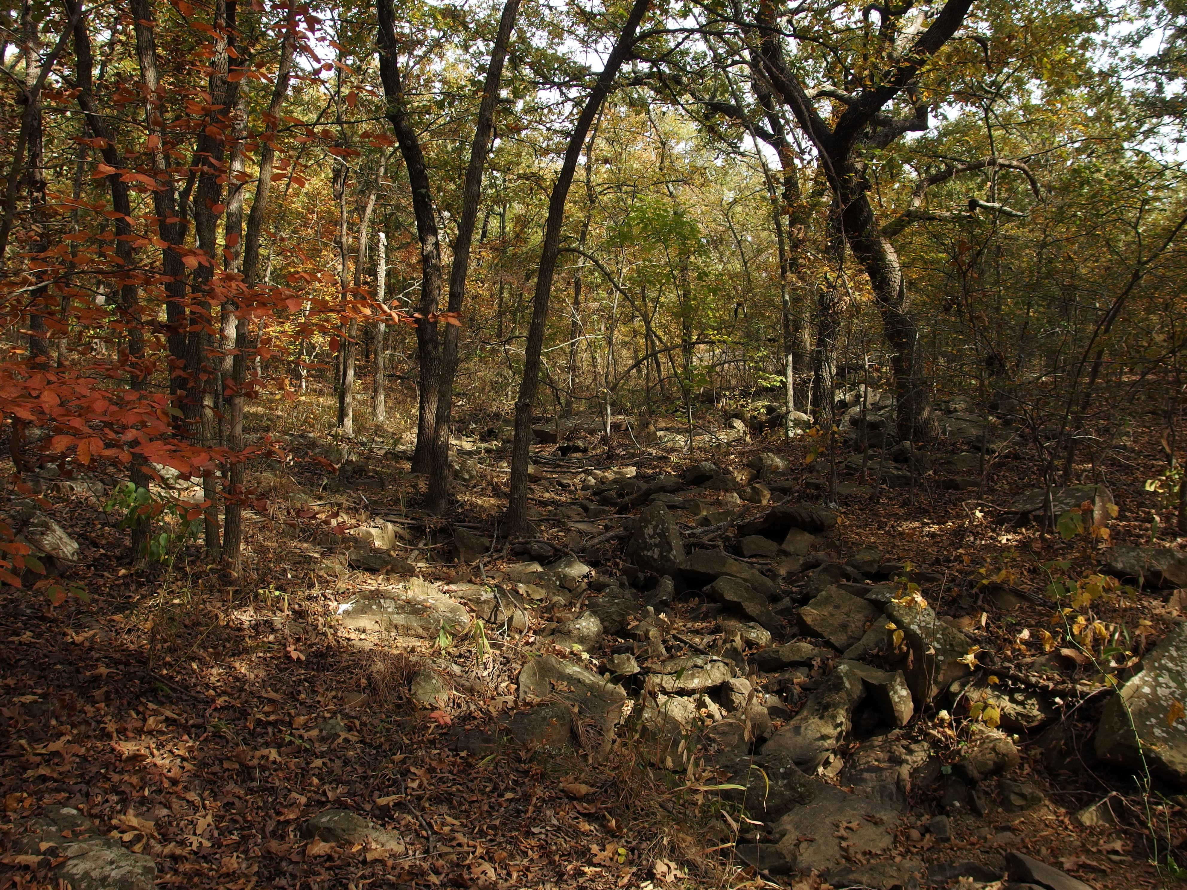
the slow death...

the dam at lake okmulgee

lake okmulgee

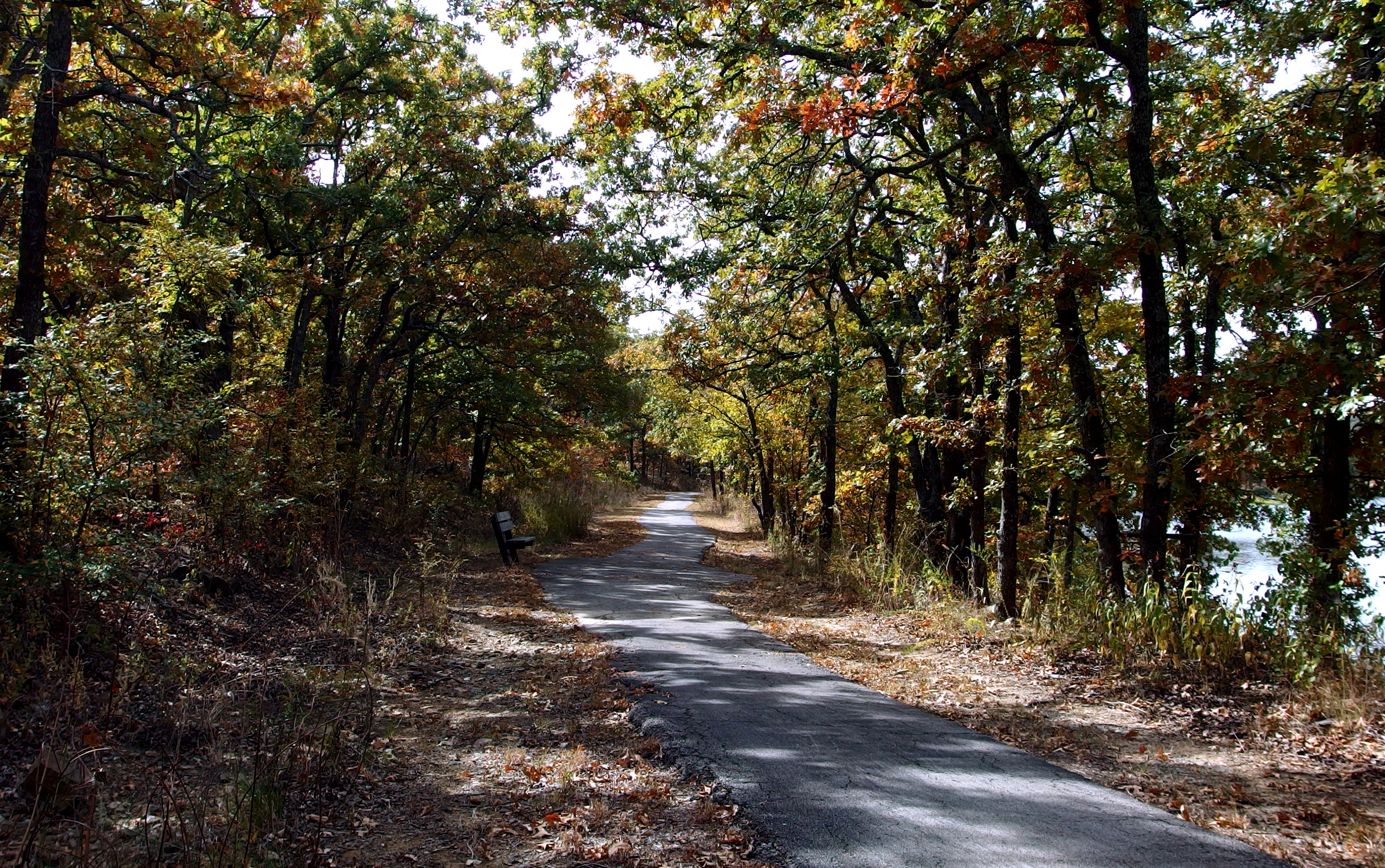
Fall Sunset at Dripping Springs
IMG_2072.JPG

Red Oak Pavilion
IMG_2062.JPG
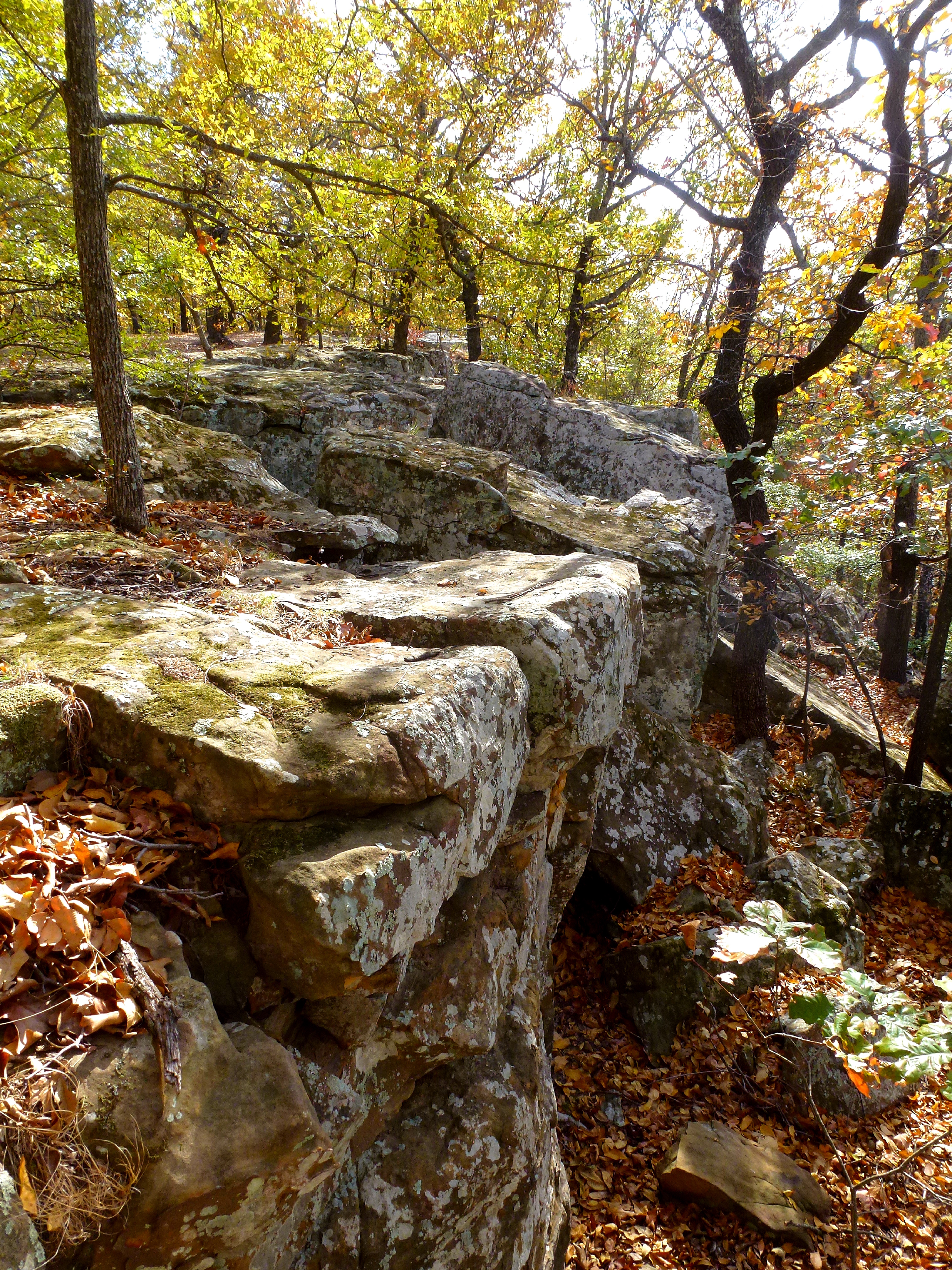
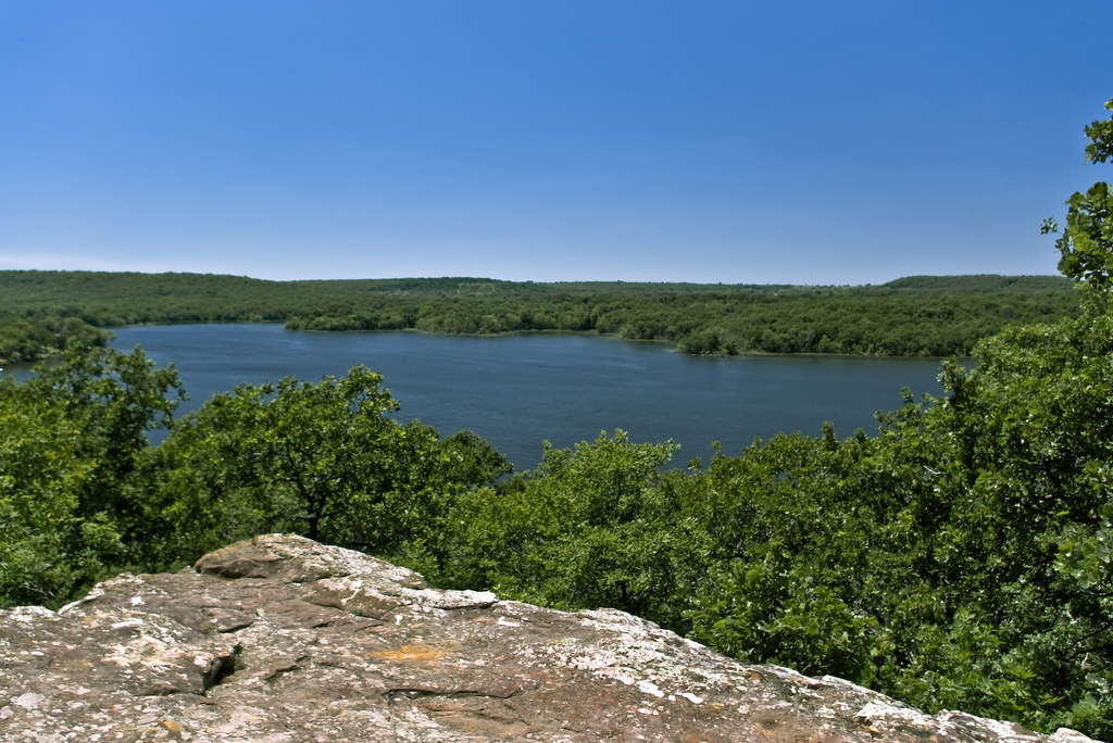
Bluff Above Okmulgee Lake
77 Counties - Okmulgee County
OK Fall Fest 2015 (30)

one of the few things this town does have is a great lake #okmulgee #okmulgeelake #oklahoma #sunset
OK Fall Fest 2015 (35)
Topographic Map of Dentonville Rd, Okmulgee, OK, USA
Find elevation by address:

Places near Dentonville Rd, Okmulgee, OK, USA:
Dentonville Rd, Beggs, OK, USA
Beggs
19285 Dripping Springs Lake Rd
Okmulgee County
Okmulgee County
West 321st Street South
30052 W 311th St S
Okmulgee
S Wood Dr, Okmulgee, OK, USA
Creek County
Kellyville
14140 Lone Star Rd
39 E Falcon Dr
E Rd, Okemah, OK, USA
17230 South 19th East Avenue
208 E 149th St
Kelly Lane Park
2120 W Taft Ave
2120 W Taft Ave
Glenpool
Recent Searches:
- Elevation of Corso Fratelli Cairoli, 35, Macerata MC, Italy
- Elevation of Tallevast Rd, Sarasota, FL, USA
- Elevation of 4th St E, Sonoma, CA, USA
- Elevation of Black Hollow Rd, Pennsdale, PA, USA
- Elevation of Oakland Ave, Williamsport, PA, USA
- Elevation of Pedrógão Grande, Portugal
- Elevation of Klee Dr, Martinsburg, WV, USA
- Elevation of Via Roma, Pieranica CR, Italy
- Elevation of Tavkvetili Mountain, Georgia
- Elevation of Hartfords Bluff Cir, Mt Pleasant, SC, USA