Elevation of Dell Road, Dell Rd, Landing, NJ, USA

Location: United States > New Jersey > Morris County > Roxbury Township > Landing >

Longitude: -74.649441

Latitude: 40.9128158

Elevation: 313m / 1027feet

Barometric Pressure: 98KPa

Elevation Map:

elevation map of Dell Road, Dell Rd, Landing, NJ, USA

Satellite Map:

Satellite map of Dell Road, Dell Rd, Landing, NJ, USA

Related Photos:

lines square pattern curves lightfixture
Look Up!
longexposure camp lake reflection water boats singing listeningto nj skills boyscouts lilypads stories fires jossstone mosquitoes allamuchy millipedes mightaswell mindbodysoul muscanetcong thepersuasions singthegratefuldead
bow to the calm
Coleus Leaves
water pennsylvania falls foliage pa poconos bushkill
DSC_0079.jpg
panorama canal lock nj tiltshift morriscanal musconetcong blacksmithshop waterloovillage d700 guardlock nikon24mmf35pcetiltshift
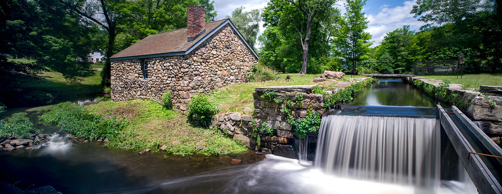
Canal Lock PANO re-worked
smack53 nikon d100 nikond100 murielhepnerpark denville newjersey autumn autumnseason fall fallseason water lake pond reflections
Muriel Hepner Park_4764
smack53 nikon d100 nikond100 murielhepnerpark denville newjersey autumn autumnseason fall fallseason water lake pond reflections
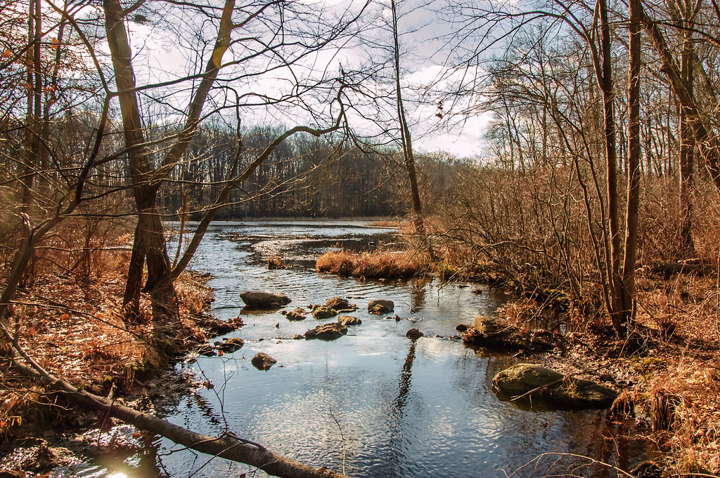
Muriel Hepner Park_4763
news church statue canon photography marketing blog interestingness interesting catholic image rss faith prayer religion jesus nj picture photojournalism blogger images lord blogs christian explore photoblog photograph catholicchurch bloglines feed christianity weblogs catholicism flickrblog stainedglasswindow prayers feeds netnewswire votivecandles pressrelease jesusstatue saintmaryschurch fineartphotos powershotg7 denvillenj catholicprayers christianmiracles themiracleprayer scaredheartofjesus miracleprayer christianprayers fatherpetermrookey servitefathers internationalcompassionministry
Sacred Heart of Jesus and The Miracle Prayer
smack53 nikon d100 nikond100 murielhepnerpark denville newjersey autumn autumnseason fall fallseason closeup macro berries branch bokeh
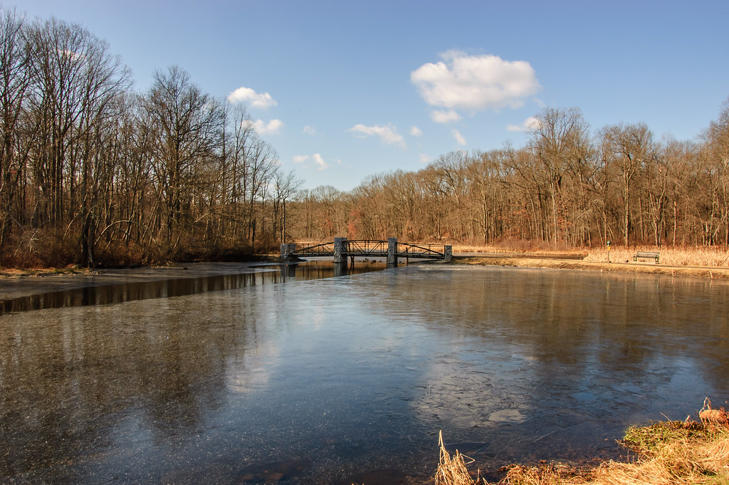
Muriel Hepner Park_4779
longexposure light moon reflection night clouds dark newjersey nj morriscounty rockawaytownship whitemeadowlake
White Meadow Lake
statepark autumn color fall leaves yellow newjersey woods places np picnictable delawarewatergap watergap wyojones allemunchystatepark allemunchytownship
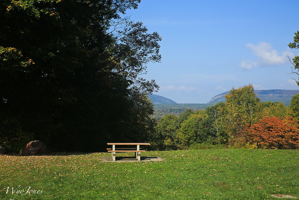
Distant Veiw of the Delaware Water Gap
square squareformat iphoneography instagramapp uploaded:by=instagram
My view for the next 3 weeks. #nature
street old longexposure church wall night newjersey perspective nj historic playhouse rockaway startrails bellandbarter
bell and barter star trails
garden newjersey community education action environmental bee honeybee outreach beekeeping roxbury apiary beekeeper
Roxbury Community Apiary August 2013 - 0001
newjersey nj vulture soaring allamuchy turkeyvulture scenicoverlook thermalling i80eastscenicoverlook
Wingspans and Clouds
cloud lake cloudy indianlake atx124afprodx tonalcontrast tokina1224dxii topazdetail topazbweffects
Stormy Skies
Happy Snowsgiving!
ice icestorm d90 lakeshawnee
Ice Storm 2nd Beach View
newjersey nj panoramic hawkwatch wildcat overlook hibernia wildcatridge
Wildcat Ridge Hawkwatch Pano, Hibernia, NJ
road park street trees winter blackandwhite snow shadows grain pole wires hedge brundage ononesoftware sigma1770os perfecteffects8
Leaving Brundage Park
toms tomsdiner diner newjersey ledgewood rt46 circle closed sign neon wavy difference orange pink tones gradiant psychedelic hot hotpink dutchangle
Tom's Diner - Ledgewood, New Jersey