Elevation of Degaon, Maharashtra, India
Location: India > Maharashtra > Satara >
Longitude: 74.0593872
Latitude: 17.6321418
Elevation: 687m / 2254feet
Barometric Pressure: 93KPa
Elevation Map:
Satellite Map:
Related Photos:

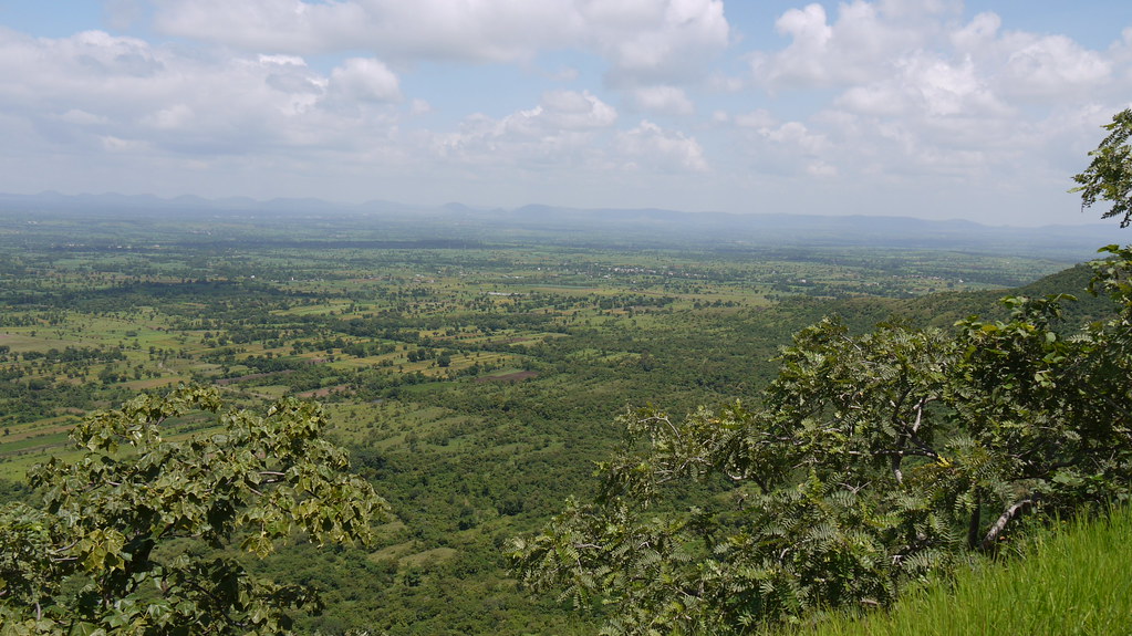
... view from Pateshwar hill

... view from Pateshwar hill

... view from Pateshwar hill

... view from Pateshwar hill
... view from Pateshwar
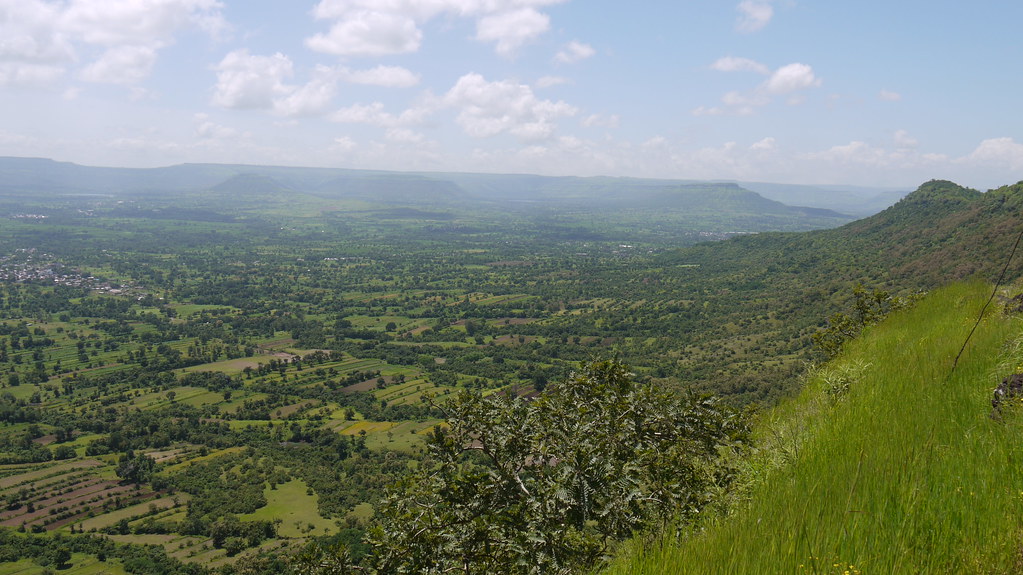
... view from Pateshwar

... view from Pateshwar

lake side view
Untitled-2

Tumbe (Kannada: ತುಂಬೆ)

Spermacoce pusilla

Blainvillea acmella

Spermacoce pusilla

Sclerocarpus africanus Jacq.

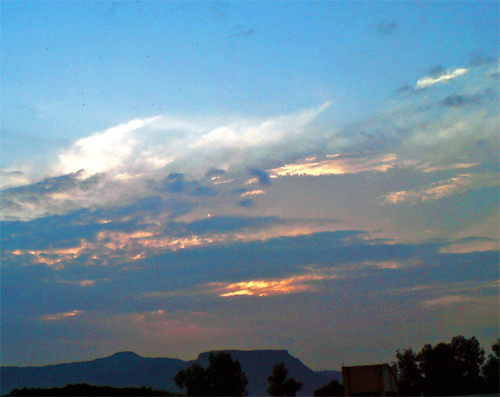
Sahyadri Hills

Striga ¿ densiflora / angustifolia ?

In the grass land

कास पठार,सातारा.
Topographic Map of Degaon, Maharashtra, India
Find elevation by address:

Places in Degaon, Maharashtra, India:
Places near Degaon, Maharashtra, India:
Rajewadi
Karandwadi
Degaon Road
New English School Nigadi Tarf Satara
Sawantnagar
Kaloshi
Shendre
Kodoli
Ram Nagar Colony
Manik Nagar
Chowgule Industries Pvt.ltd., Satara W
Nishigandha Colony
Satara
Vechale
Ganesh Nagar
Savali Agro Tech
Ambedkar Nagar
Khavali
Satara
Yashwant Colony
Recent Searches:
- Elevation of Corso Fratelli Cairoli, 35, Macerata MC, Italy
- Elevation of Tallevast Rd, Sarasota, FL, USA
- Elevation of 4th St E, Sonoma, CA, USA
- Elevation of Black Hollow Rd, Pennsdale, PA, USA
- Elevation of Oakland Ave, Williamsport, PA, USA
- Elevation of Pedrógão Grande, Portugal
- Elevation of Klee Dr, Martinsburg, WV, USA
- Elevation of Via Roma, Pieranica CR, Italy
- Elevation of Tavkvetili Mountain, Georgia
- Elevation of Hartfords Bluff Cir, Mt Pleasant, SC, USA