Elevation of Deer Haven Drive, Deer Haven Dr, Zachary, LA, USA

Location: United States > Louisiana > East Baton Rouge Parish > > Zachary >

Longitude: -91.215722

Latitude: 30.6789553

Elevation: 33m / 108feet

Barometric Pressure: 101KPa

Elevation Map:

elevation map of Deer Haven Drive, Deer Haven Dr, Zachary, LA, USA

Satellite Map:

Satellite map of Deer Haven Drive, Deer Haven Dr, Zachary, LA, USA

Related Photos:

orange black photoshop zoo nikon stripes tiger batonrouge bengal hdr orangeandblack lucisart photomatix pseudohdr d80 batonrougezoo topazadjust
Eyes of the Tiger
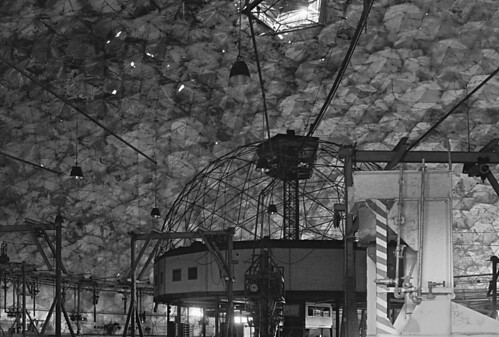
blackandwhite bw abandoned film train tmax interior batonrouge rails demolished geodesicdome rbuckminsterfuller razed buckydome derelictbuilding kansascitysouthernrailway synergetics oldandbeautiful uniontankcarmaintenancefacility tchoward
Union Tank Car Geodesic Dome Interior 2
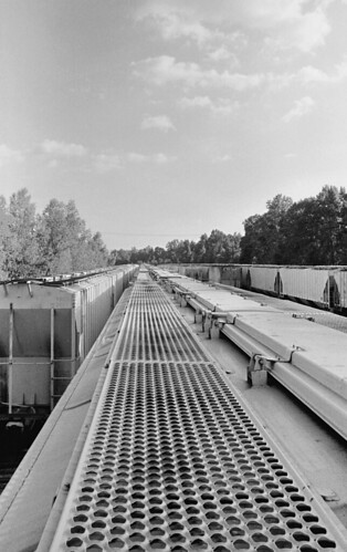
blackandwhite bw abandoned film train exterior tmax tracks batonrouge rails demolished rbuckminsterfuller razed kansascitysouthernrailway synergetics uniontankcarmaintenancefacility tchoward
Riding the Stationary Rails
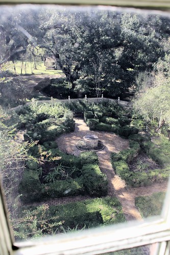
west window public glass st garden louisiana well plantation pane oakley lps francisville 2015 tjean314 johnhanley feliciana allphotoscopy20052015johnhanleyallrightsreservedcontactforpermissiontouse allphotoscopy20052016johnhanleyallrightsreservedcontactforpermissiontouse
A View of the Garden
house abandoned rural landscape louisiana decay batonrouge baretrees ruraldecay 80mm mrgreenjeans gaylon canonef28135mmf3556isusm gaylonkeeling
it was waiting for me...
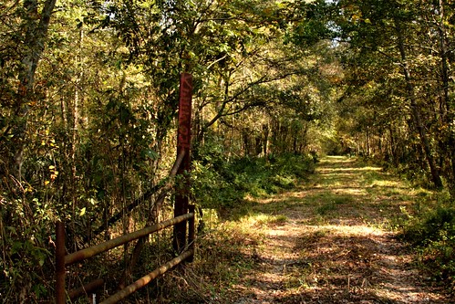
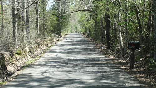
trees nature mrgreenjeans gaylon mosquitoinfested louisianawoods constructionroad goteatenalive gaylonkeeling
A Road Through the Woods
trees nature mrgreenjeans gaylon mosquitoinfested louisianawoods constructionroad goteatenalive gaylonkeeling
Louisiana Jungle
trees nature mrgreenjeans gaylon mosquitoinfested louisianawoods constructionroad goteatenalive gaylonkeeling
End of the Road
summer lines clouds rural landscape crossprocessed louisiana farming thesouth agriculture canonefs1022mmf3545usm 22mm mrgreenjeans gaylon sugarcanefield gaylonkeeling
resting the fields
sky field clouds rural landscape crossprocessed louisiana farm silo thesouth agriculture 10mm canonefs1022mmf3545usm mrgreenjeans gaylon sugarcanefield storagebin gaylonkeeling
along the River Road
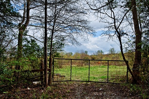
trees field rural fence landscape spring louisiana gate pasture roadside canonefs1022mmf3545usm 17mm mrgreenjeans gaylon bakerla gaylonkeeling mchughrd
looking in on Spring
Park 3
battlefields vicksburgcampaign vicksburgtrip
0552-Port Hudson Area
old blue orange history yellow architecture manipulated catchycolors landscape louisiana decay porch zachary thesouth eveninglight oldsouth mrgreenjeans gaylon gaylonkeeling
Times Gone By...
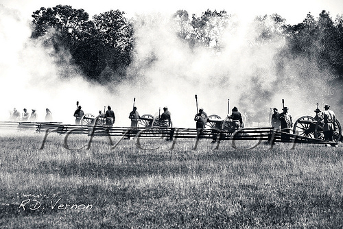
louisiana smoke battle confederate artillery reenactment cannons discharge porthudson eastfelicianaparish
Confederate Artillery
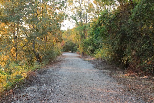
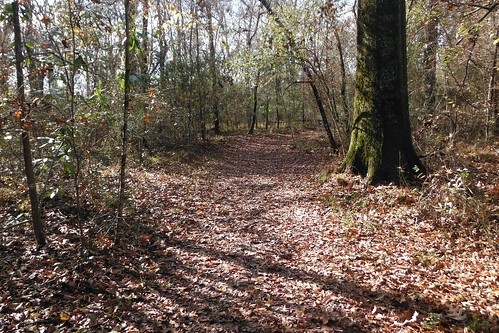
trees forest woods louisiana trail ilobsterit
Port Hudson Woods, Louisiana.
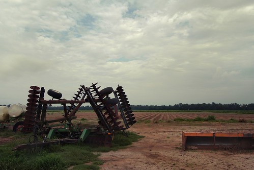
summer field rural louisiana south horticulture sugarcane 18mm farmmachinery canonefs1022mmf3545usm mrgreenjeans gaylon canefield discharrow gaylonkeeling graderbox fieldlandscapecloudsthe
Louisiana sugarcane field
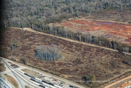
louisiana unitedstates batonrouge cypress clearcut deforestation
lean-flight-11-19-2015-8487
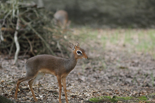
greaterbatonrougezoo zootrip2012 bigeyedeer
zoo 2012-54
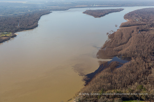
river louisiana unitedstates pollution outfall papermill georgiapacific erwinville
lean-flight-11-19-2015-8524
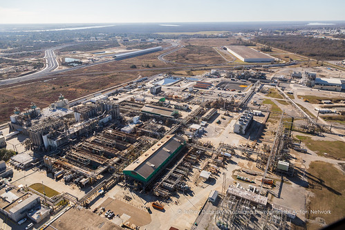
louisiana unitedstates batonrouge
lean-flight-11-19-2015-8545
zoo batonrougezoo
Prairie Dog
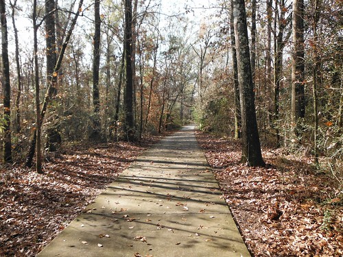
trees forest woods louisiana trail ilobsterit
The Trail at Port Hudson, La.
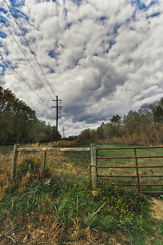
sky clouds rural fence landscape louisiana gate ps powerlines batonrouge 10mm canonefs1022mmf3545usm mrgreenjeans gaylon gaylonkeeling
Spring rolls in...
More beautiful Oaks.