Elevation of Dee Nix Rd, Altoona, AL, USA
Location: United States > Alabama > Etowah County > Altoona >
Longitude: -86.276728
Latitude: 34.0172546
Elevation: 278m / 912feet
Barometric Pressure: 98KPa
Elevation Map:
Satellite Map:
Related Photos:

Alabama "vintage car graveyard" abandoned automobiles
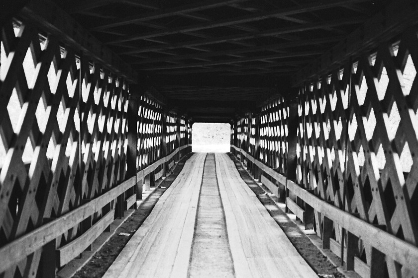
Horton Mill Covered Bridge / P1983-0213a057-25
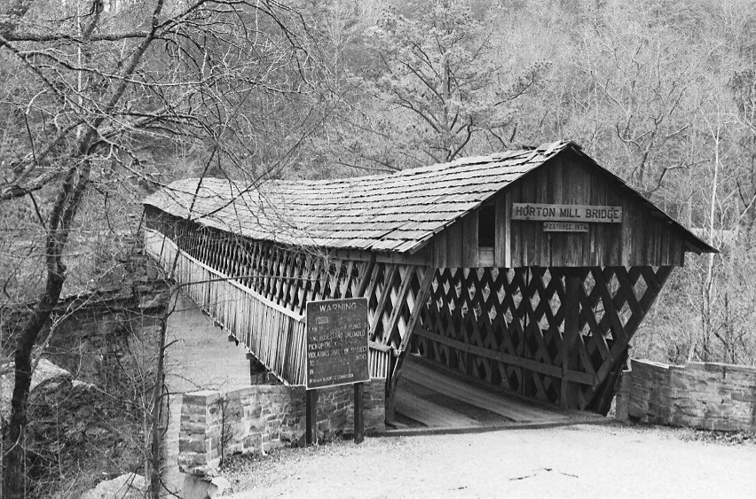
Horton Mill Covered Bridge / P1983-0213a057-24
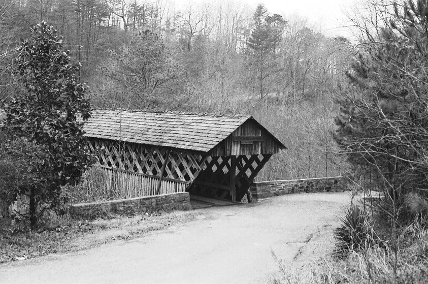
Horton Mill Covered Bridge / P1983-0213a057-28

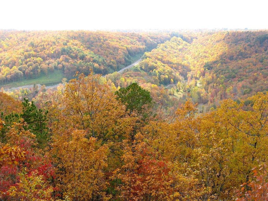
Fall Stream

Old Tractor

Upstream view of the Horton Mill covered bridge.
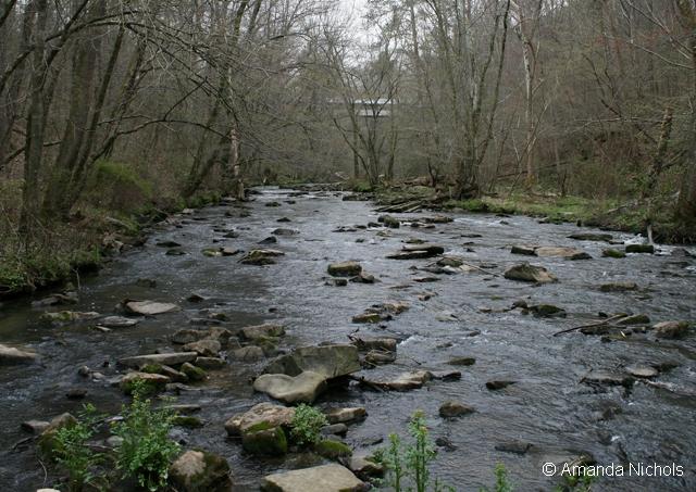
Stream View
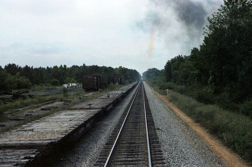
Down The Line / P1983-0605a069-25

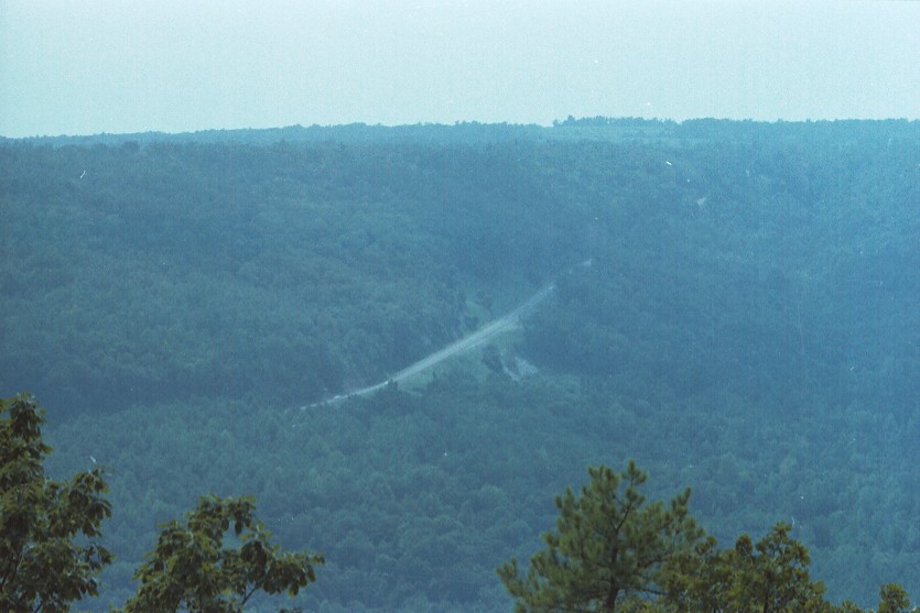
Horse Pens 40 Scenic Overlook / P1982-0905A037-29
U.S. Highway 231 & Blount Mountain / P1982-0905A037-19

Puddles with a view
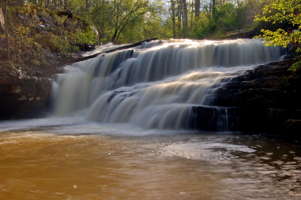
Flossy Falls

Calvert Prong of Little Warrior River
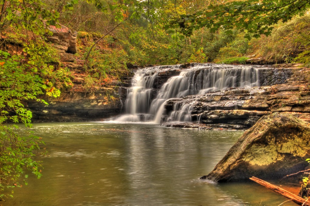
Flossy Falls

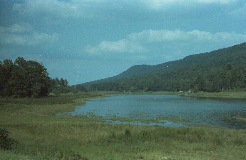
Lake Sumatanga
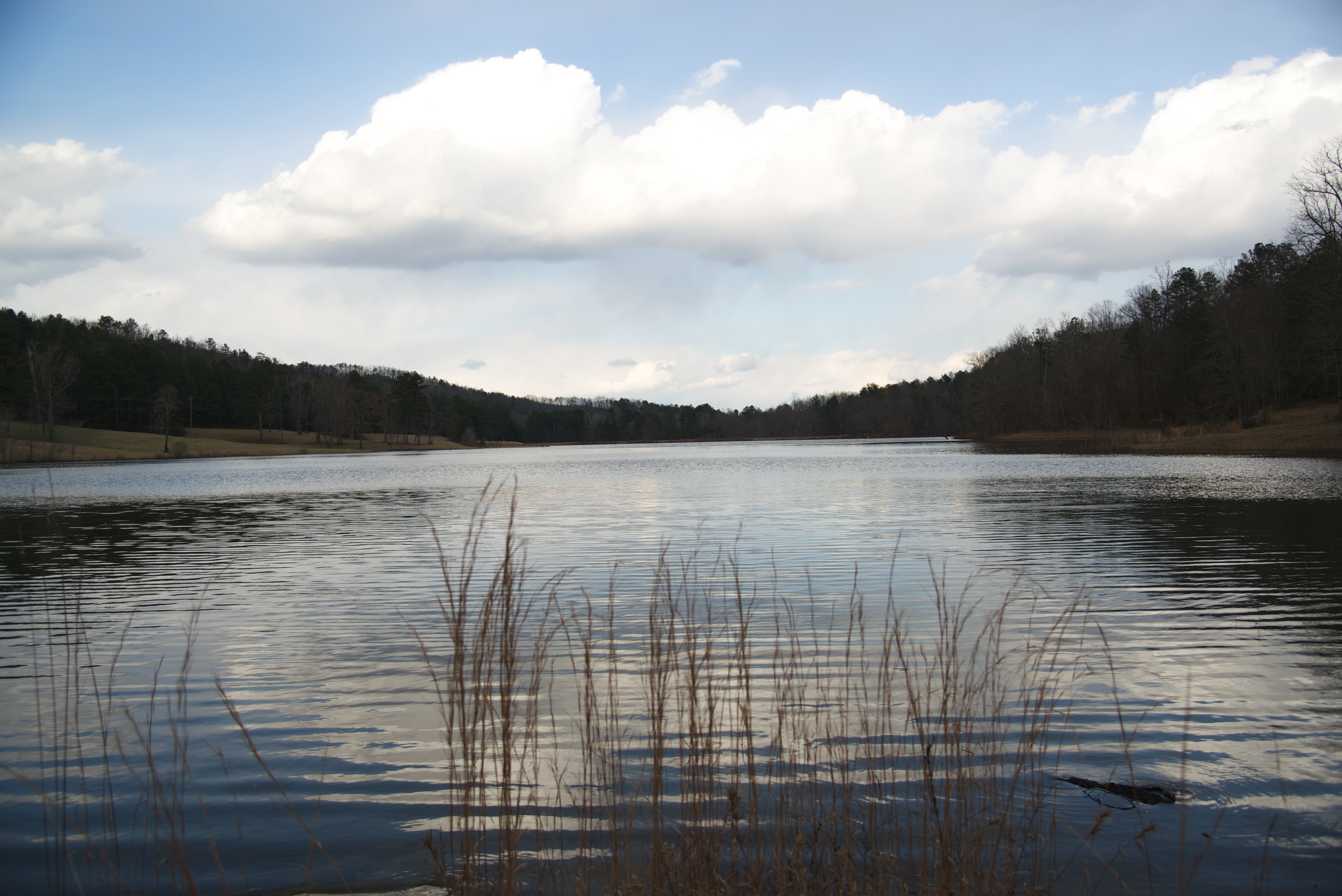
Lake Sumatanga
Horse Pens 40
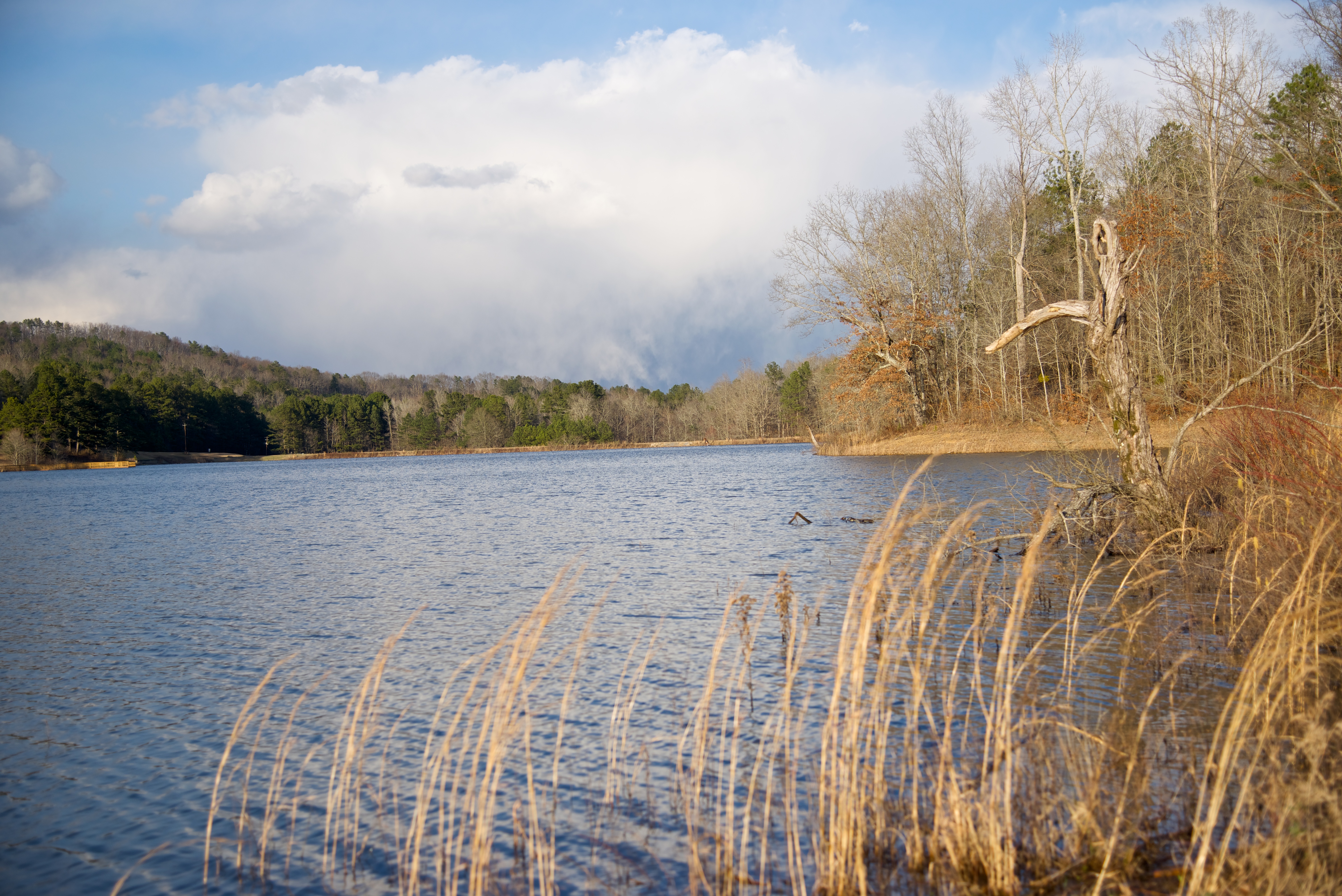
Lake Sumatanga
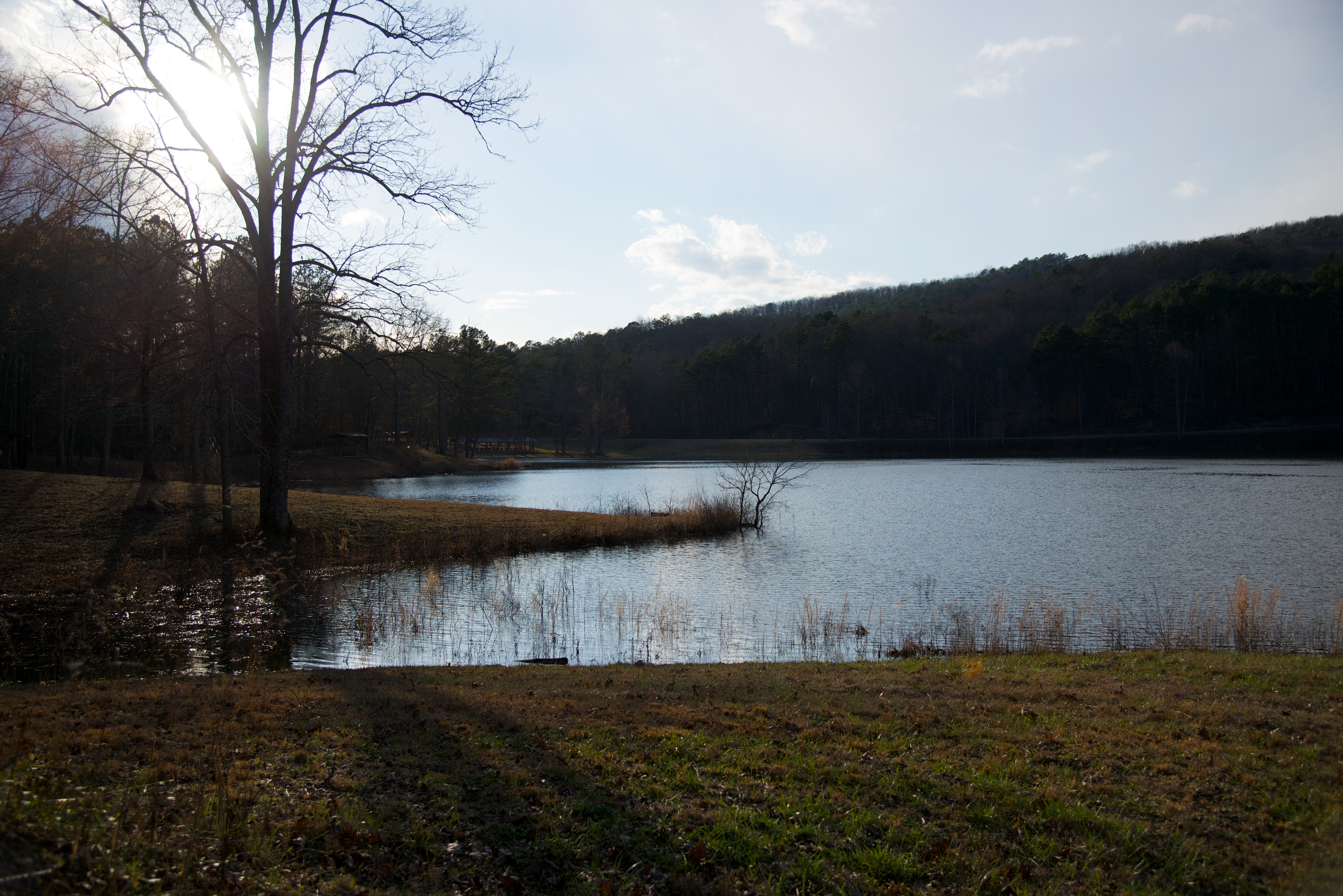
Lake Sumatanga
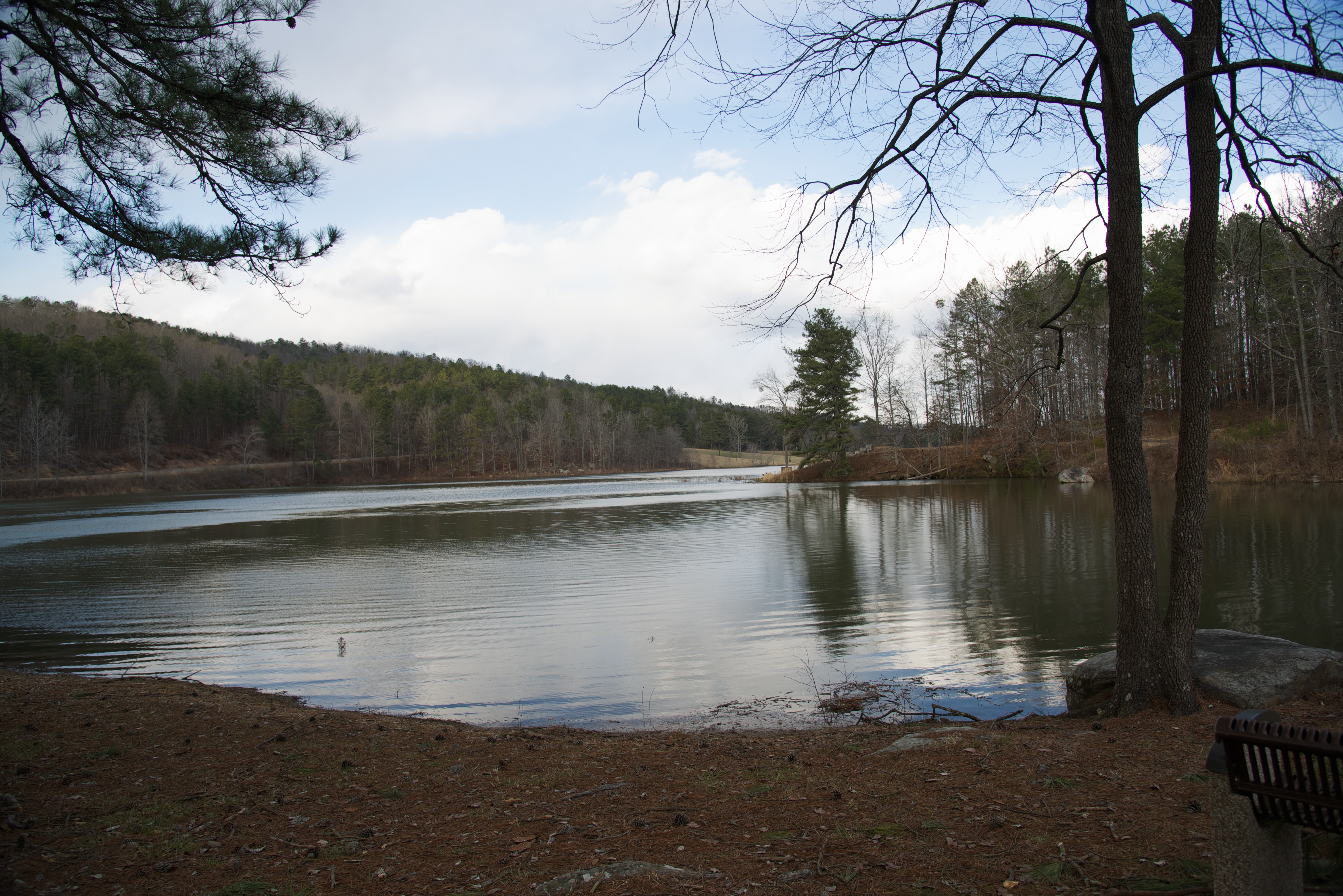
Lake Sumatanga
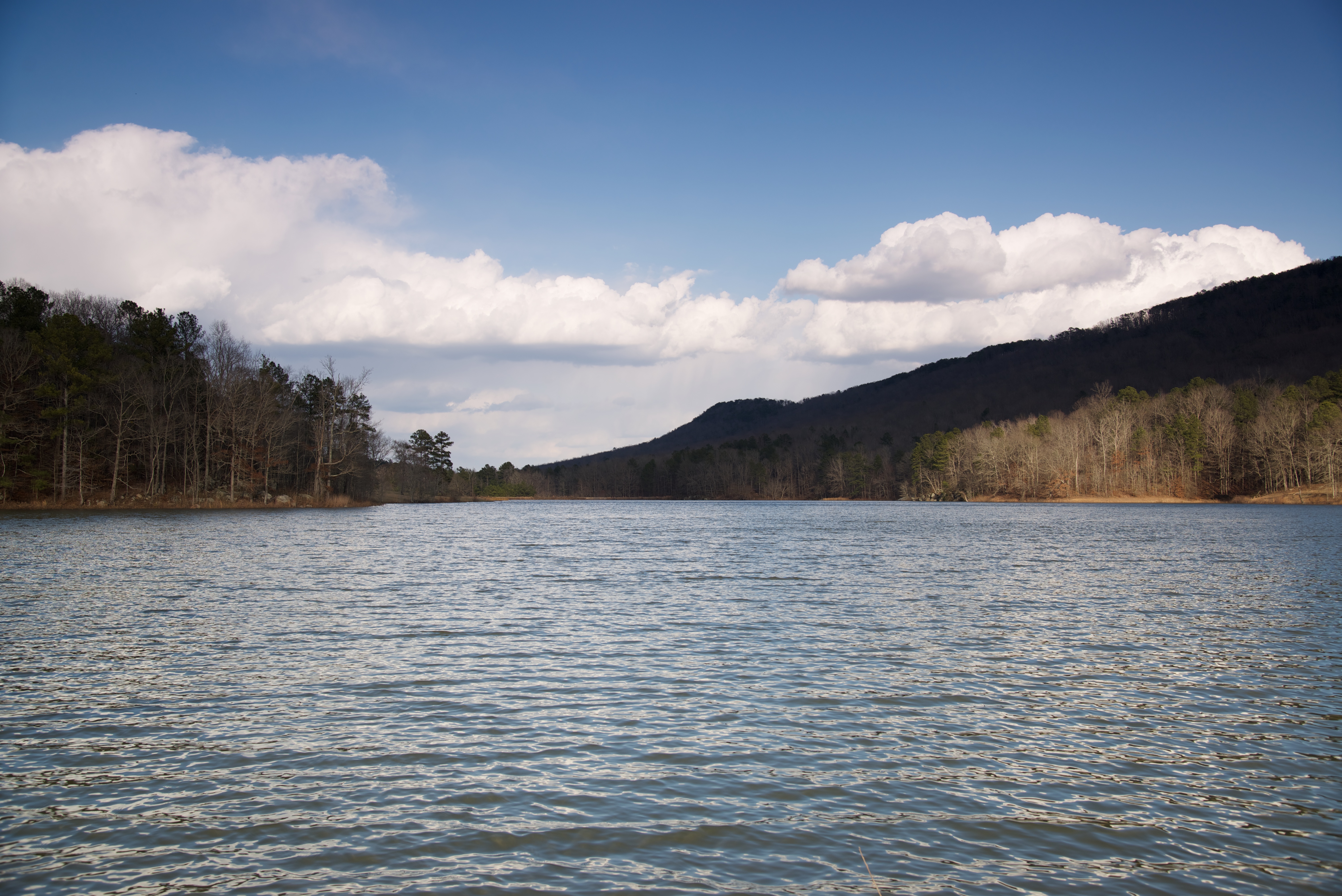
Lake Sumatanga
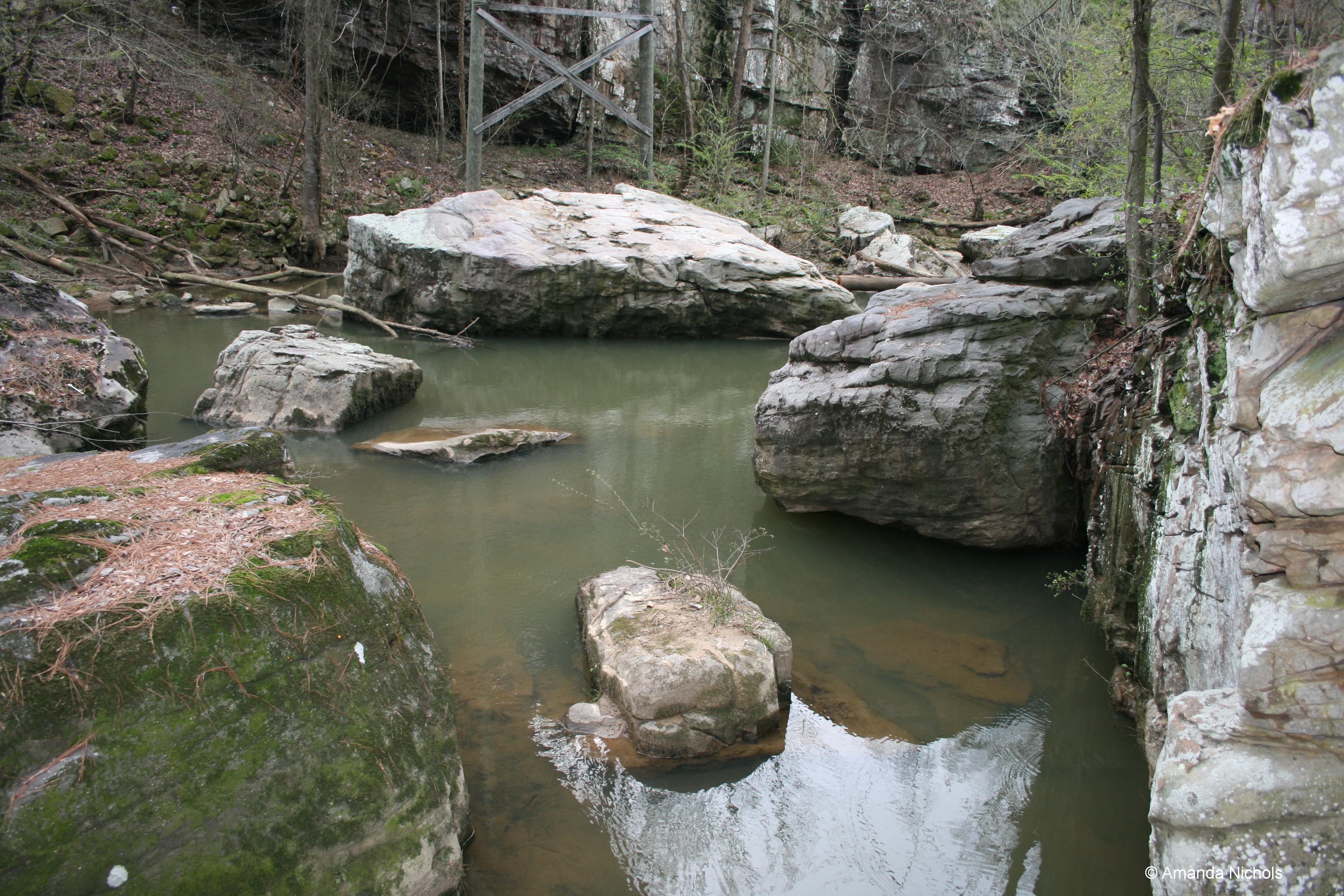
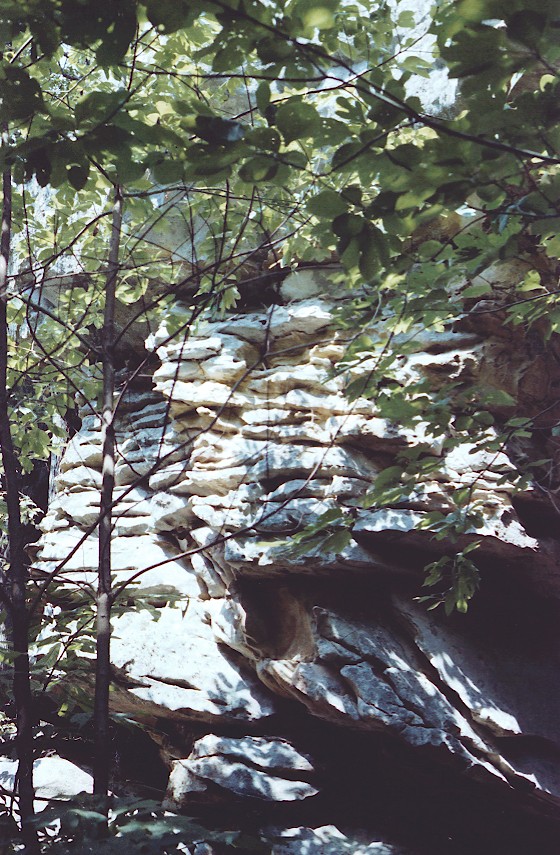
River Rocks
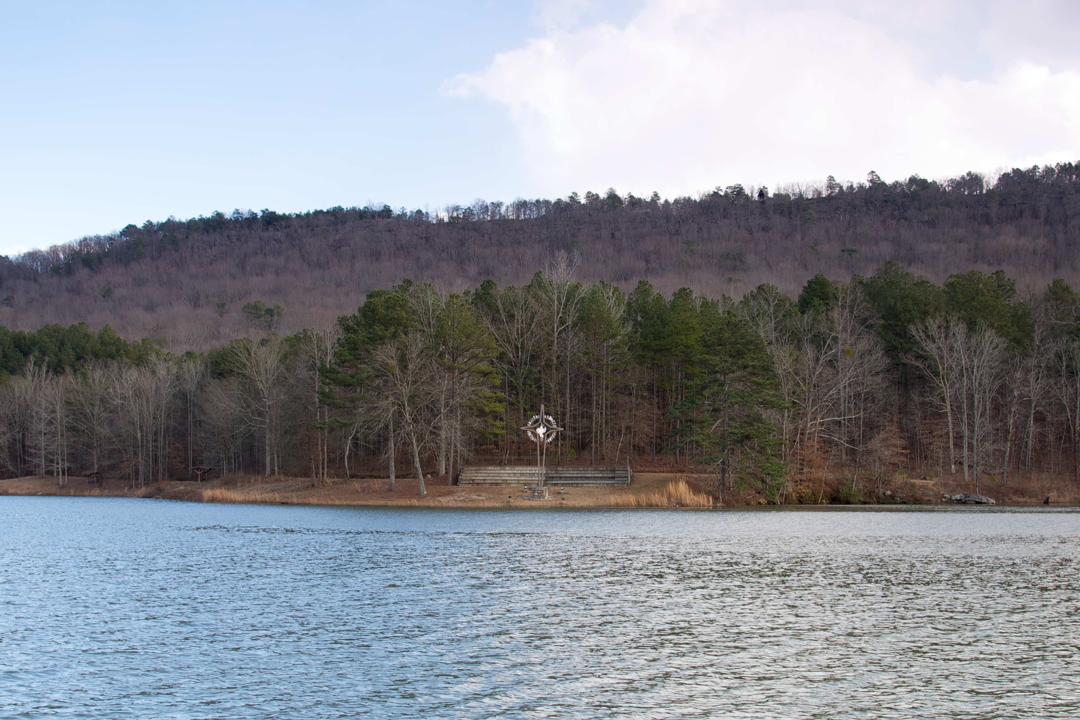
Lake Sumatanga

IMG_0503.JPG

Wills Creek
Lake Sumatanga / P1982-0905A037-33
Horse Pens 40 / P1982-0905A037-05
Topographic Map of Dee Nix Rd, Altoona, AL, USA
Find elevation by address:

Places near Dee Nix Rd, Altoona, AL, USA:
Tumlin Gap Rd, Altoona, AL, USA
AL-, Altoona, AL, USA
Payne Road
Gallant
Gallant Rd, Gallant, AL, USA
Hopper Rd, Altoona, AL, USA
710 Rock Bridge Rd
Altoona
AL-, Altoona, AL, USA
Murphree Valley Rd, Altoona, AL, USA
Sumatanga Road
5101 Sumatanga Rd
Chandler Mountain Road
County Hwy 39, Altoona, AL, USA
Chandler Mountain Rd, Steele, AL, USA
Bristow Cove Rd, Boaz, AL, USA
Bristow Cove Rd, Boaz, AL, USA
2001 Gaines Rd
Wilson Chapel Rd, Altoona, AL, USA
Lakeview Street
Recent Searches:
- Elevation of Corso Fratelli Cairoli, 35, Macerata MC, Italy
- Elevation of Tallevast Rd, Sarasota, FL, USA
- Elevation of 4th St E, Sonoma, CA, USA
- Elevation of Black Hollow Rd, Pennsdale, PA, USA
- Elevation of Oakland Ave, Williamsport, PA, USA
- Elevation of Pedrógão Grande, Portugal
- Elevation of Klee Dr, Martinsburg, WV, USA
- Elevation of Via Roma, Pieranica CR, Italy
- Elevation of Tavkvetili Mountain, Georgia
- Elevation of Hartfords Bluff Cir, Mt Pleasant, SC, USA