Elevation of Decker Valley Rd, Spring Mills, PA, USA
Location: United States > Pennsylvania > Centre County > Potter Township >
Longitude: -77.590773
Latitude: 40.7870554
Elevation: 464m / 1522feet
Barometric Pressure: 96KPa
Elevation Map:
Satellite Map:
Related Photos:

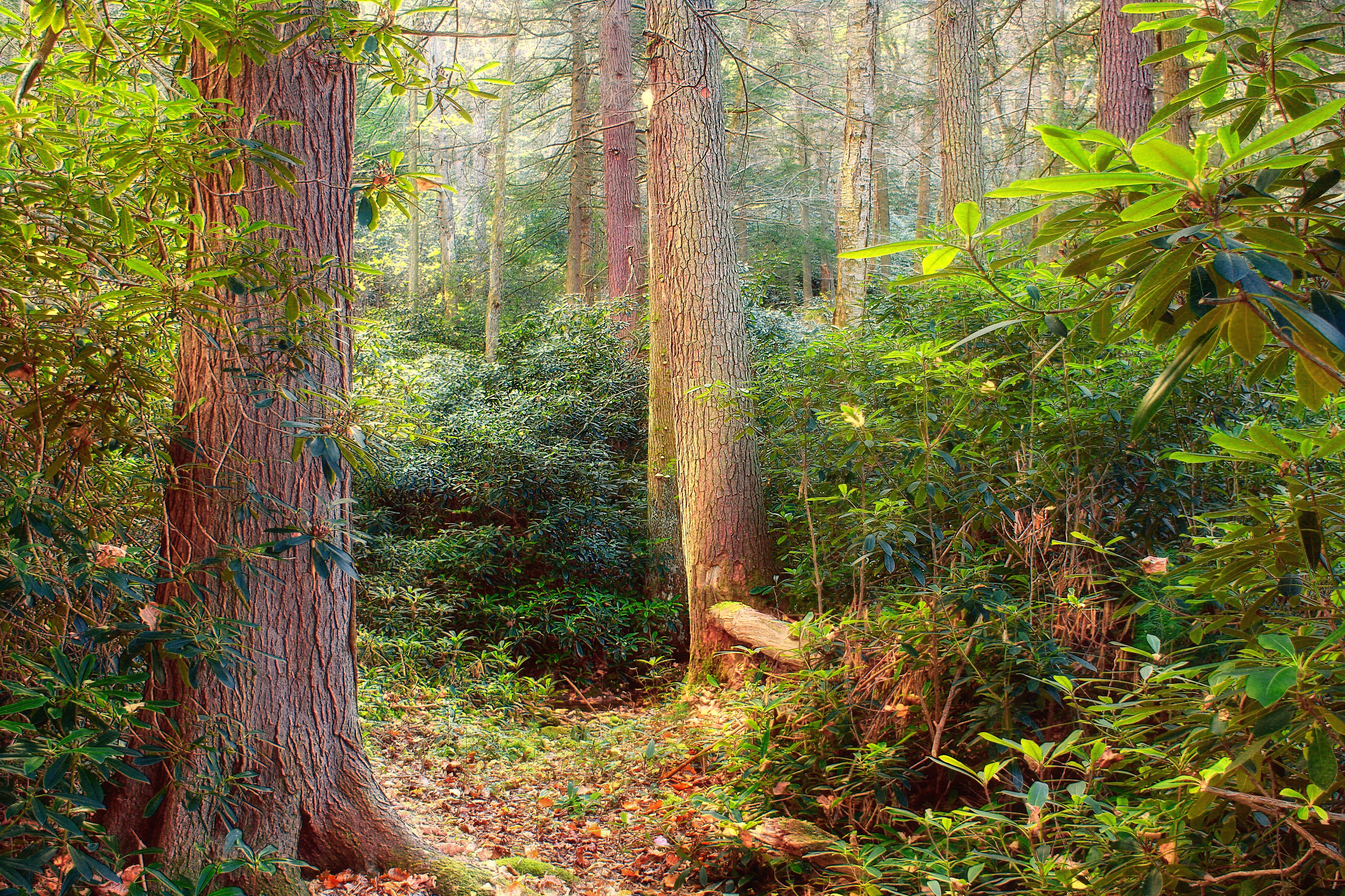
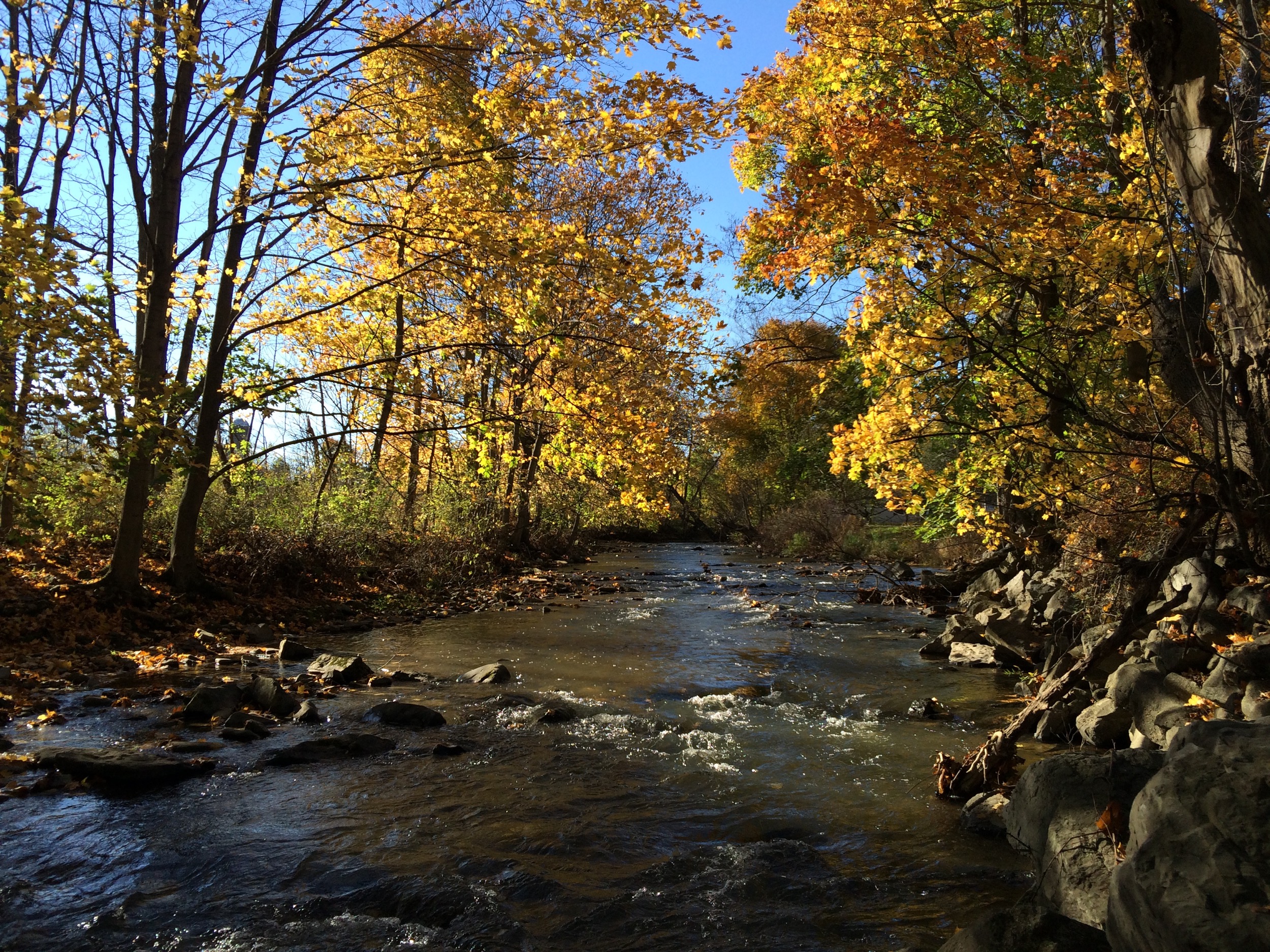
Detweiler Run Natural Area (Revisited) (2)
Detweiler Run Natural Area (Revisited) (3)

Dawn at Penns View
Detweiler Run Natural Area (Revisited) (4)
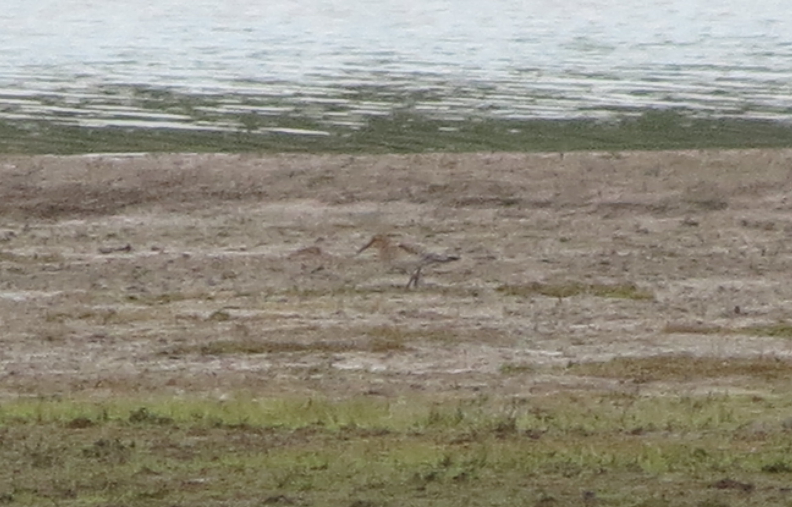
eBird Doc Shot: American Golden-Plover
eBird Doc Shot: Baird's Sandpiper
Penn's Cave

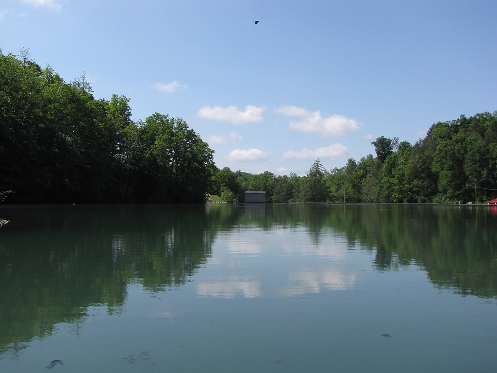
Pool View

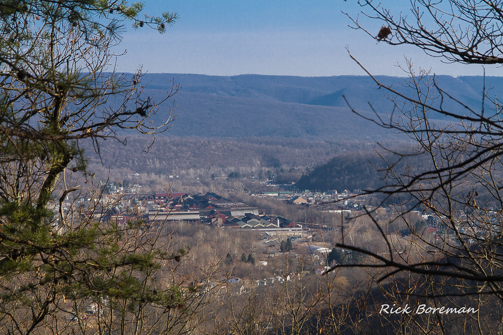
Coburn and Millheim from Penns View
eBird Doc Shot: Red-necked Phalarope
216 Millheim Hotel balcony view
A view from the highest point on the Tussey Mt. Trail.
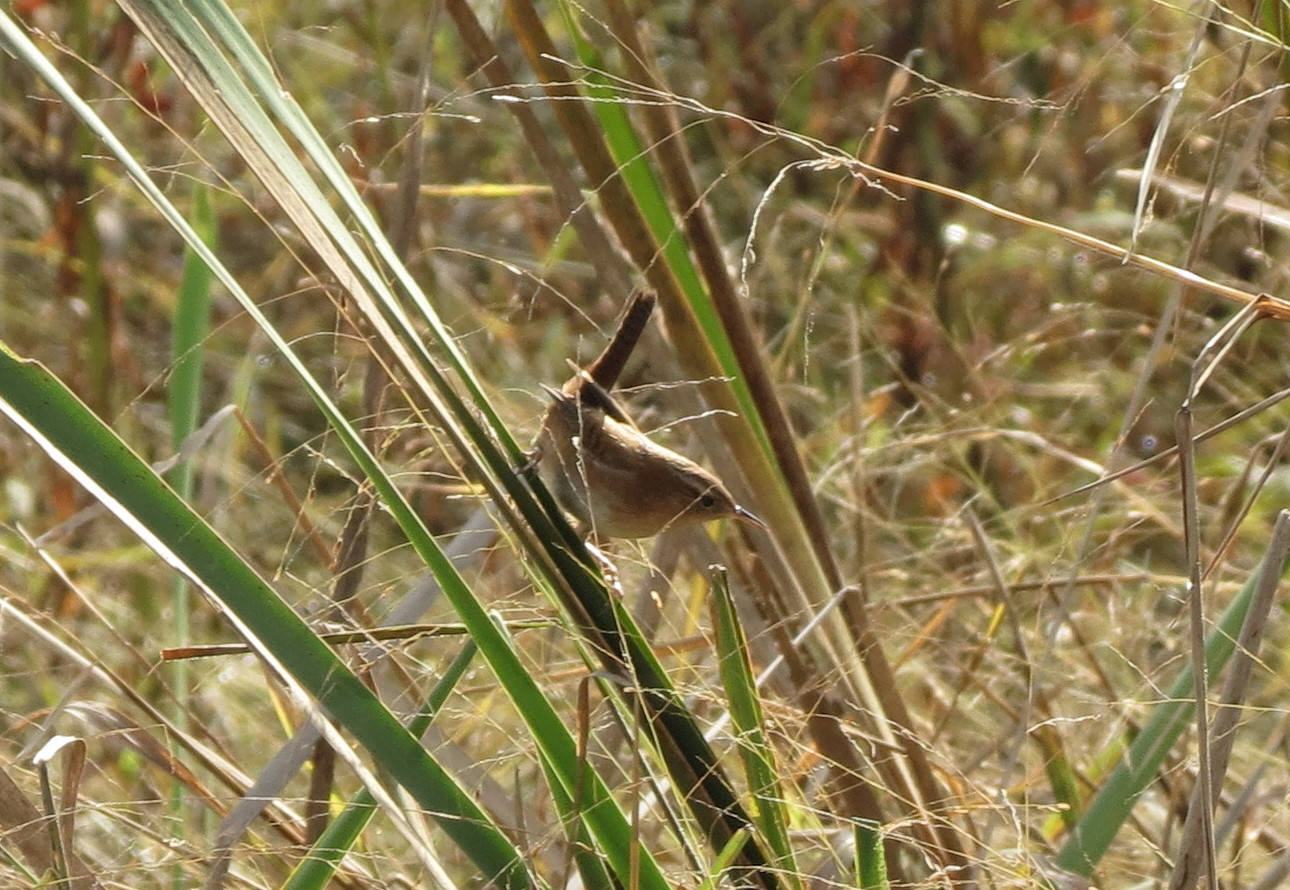
eBird Doc Shot: Marsh Wren

Silver-spotted Skipper

Honda Big Red With Black Aluminum Roof & Snowplow

Black Diamond-Plate Roof on Kubota RTV1140
kolarz4-R2-023-10
Rough-legged Hawk at Wagner Rd. x Rt. 322, Centre, PA on Dec 26, 2012

Black Diamond-Plate Roof on Kubota RTV1140

kolarz4-R2-011-4
kolarz4-R2-029-13

Faust Bog
Lake Nitanee

Reedsville PA

Penn's Cave
Burnham, PA
Detweiler Run Natural Area (Revisited) (8)

Hall of the Mountain King
Pleasant Gap

Glistening Flowers

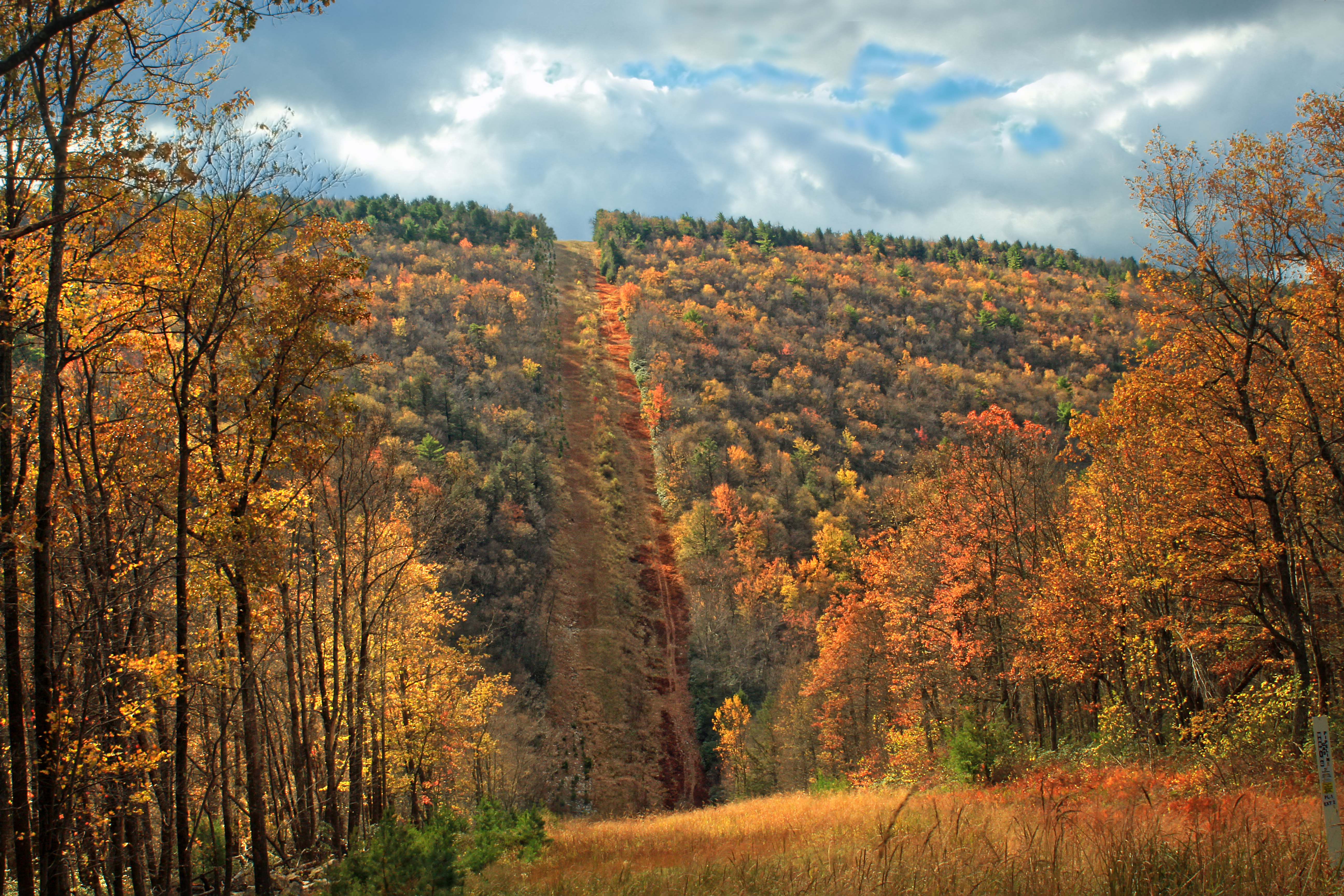
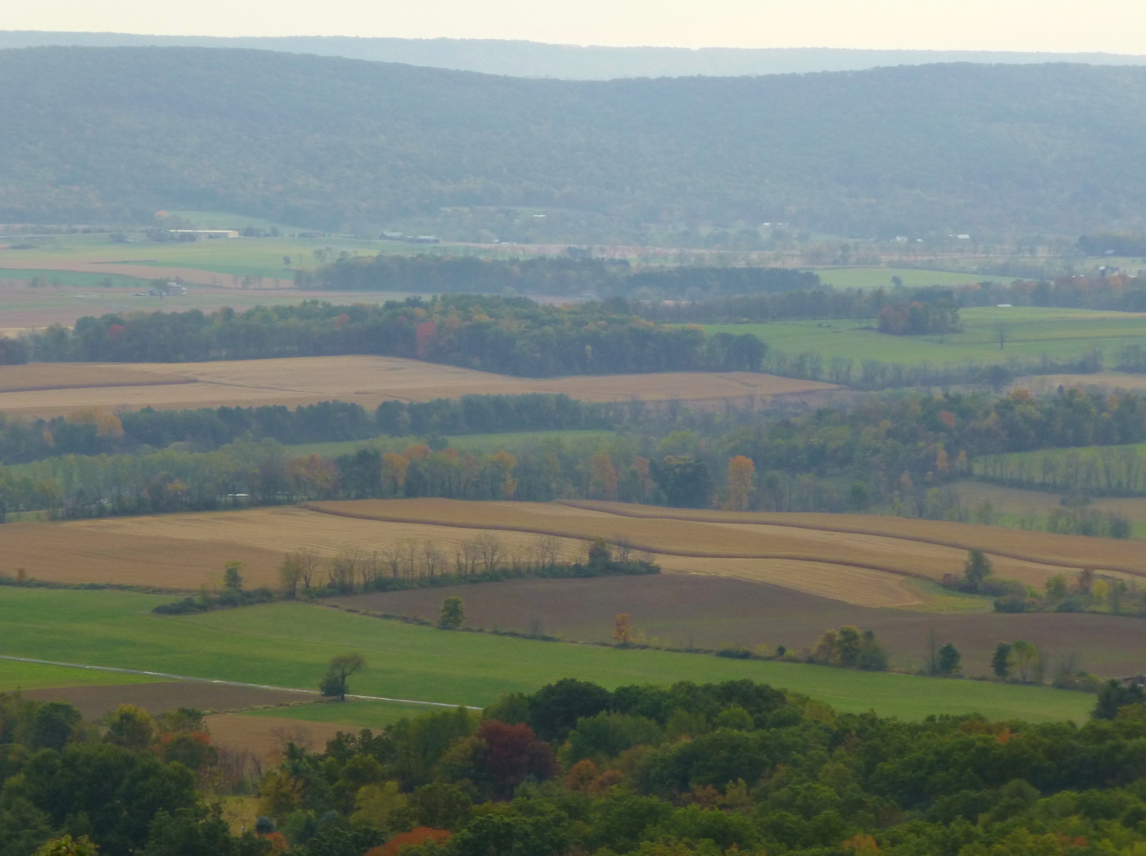
Ridge and Valley

Penn's Cave

Mann Narrows

Penn's Cave

Penn's Cave

the last clutches of fall
All Photos-227

Red-spotted Purple

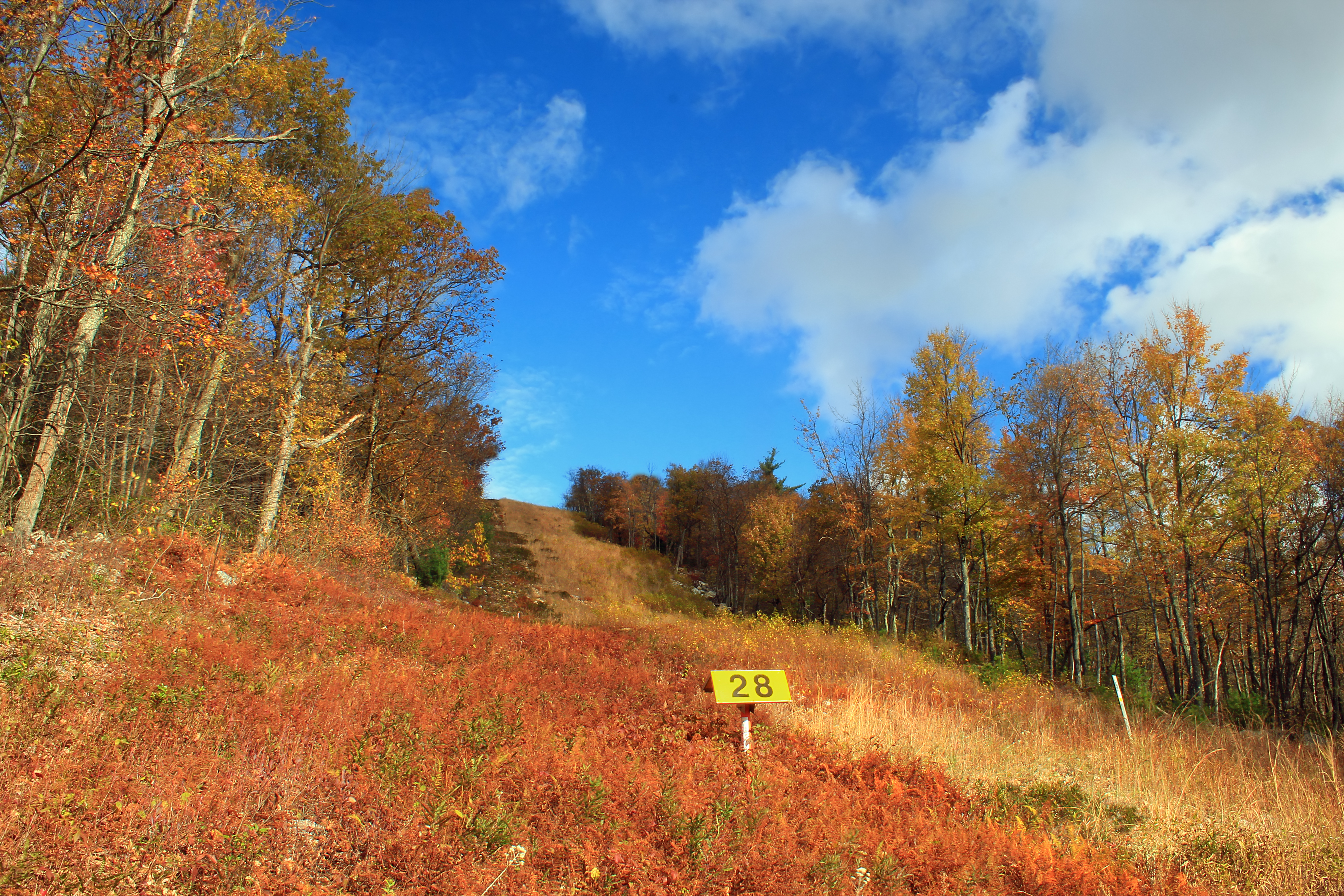
Down the hill

the places we find when we wander
Topographic Map of Decker Valley Rd, Spring Mills, PA, USA
Find elevation by address:

Places near Decker Valley Rd, Spring Mills, PA, USA:
Decker Valley Road
Old Sand Mountain Road
Red Mill Rd, Spring Mills, PA, USA
Airport Rd, Spring Mills, PA, USA
Spring Mills
Cooper St, Spring Mills, PA, USA
Gregg Township
Potter Township
T, Spring Mills, PA, USA
114 Winfield Dr
Centre Hall
Hecla Rd, Bellefonte, PA, USA
Madisonburg
Walker Township
Zion Rd, Bellefonte, PA, USA
Miles Township
Haines Township
Cherry Run Road
Woodward
Recent Searches:
- Elevation of Corso Fratelli Cairoli, 35, Macerata MC, Italy
- Elevation of Tallevast Rd, Sarasota, FL, USA
- Elevation of 4th St E, Sonoma, CA, USA
- Elevation of Black Hollow Rd, Pennsdale, PA, USA
- Elevation of Oakland Ave, Williamsport, PA, USA
- Elevation of Pedrógão Grande, Portugal
- Elevation of Klee Dr, Martinsburg, WV, USA
- Elevation of Via Roma, Pieranica CR, Italy
- Elevation of Tavkvetili Mountain, Georgia
- Elevation of Hartfords Bluff Cir, Mt Pleasant, SC, USA