Elevation of Decker Rd, Hobart, NY, USA
Location: United States > New York > Delaware County > Stamford > Stamford >
Longitude: -74.615655
Latitude: 42.3673148
Elevation: 644m / 2113feet
Barometric Pressure: 94KPa
Elevation Map:
Satellite Map:
Related Photos:
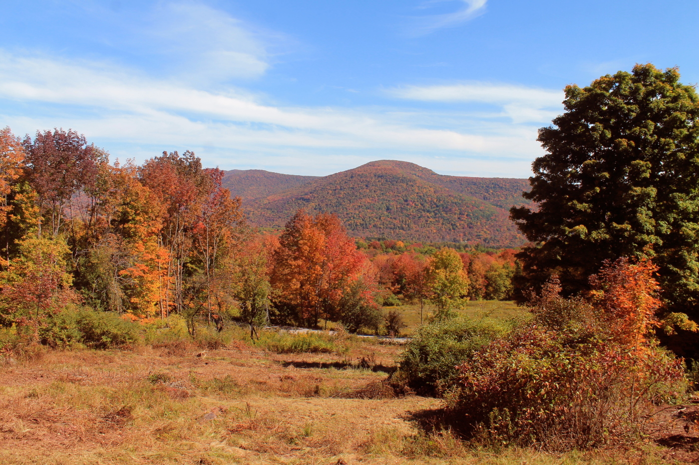
Minekill Falls

cst-hills
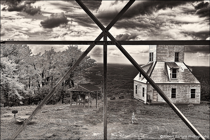
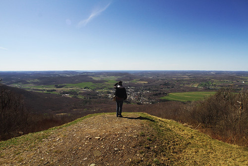
On Mount Utsayantha
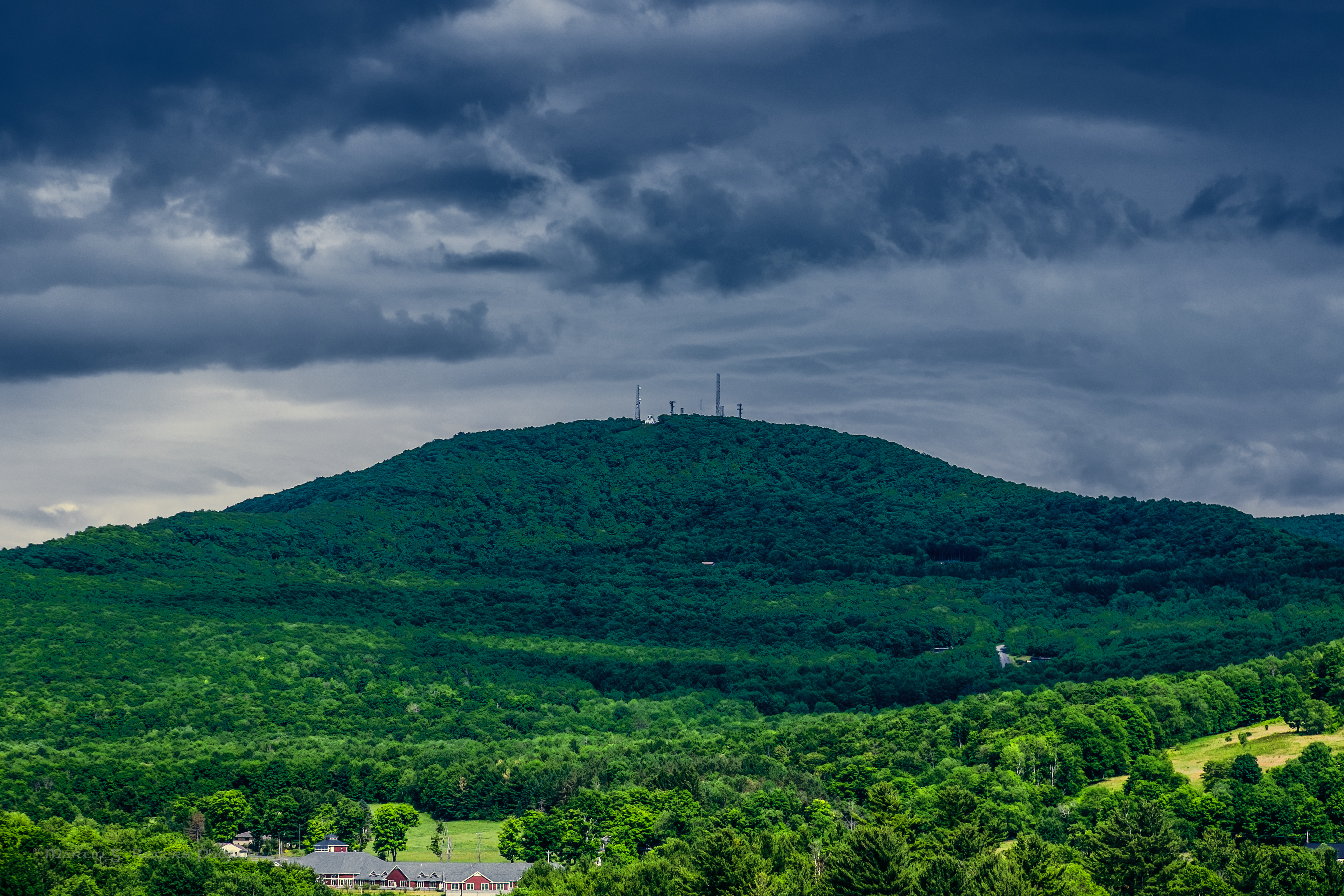
Mount Utsayantha
View from the cabin porch

View of Gorge Walls

Triple View Farm

Little Known View of Mine Kill Falls
View From Burroughs Grave Site

Grand Gorge, NY 20031014 076 view from New York State Route 30

Grand Gorge, NY 20031014 075 view from New York State Route 30

Time for take off...
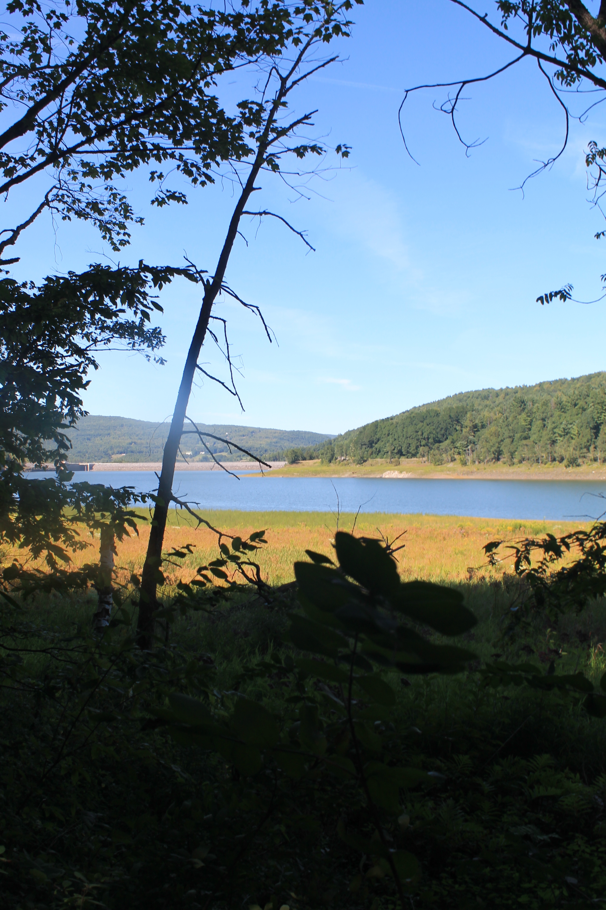
Reservior View

View from the Col on Plattekill Mountain
The Other Side Of The Road
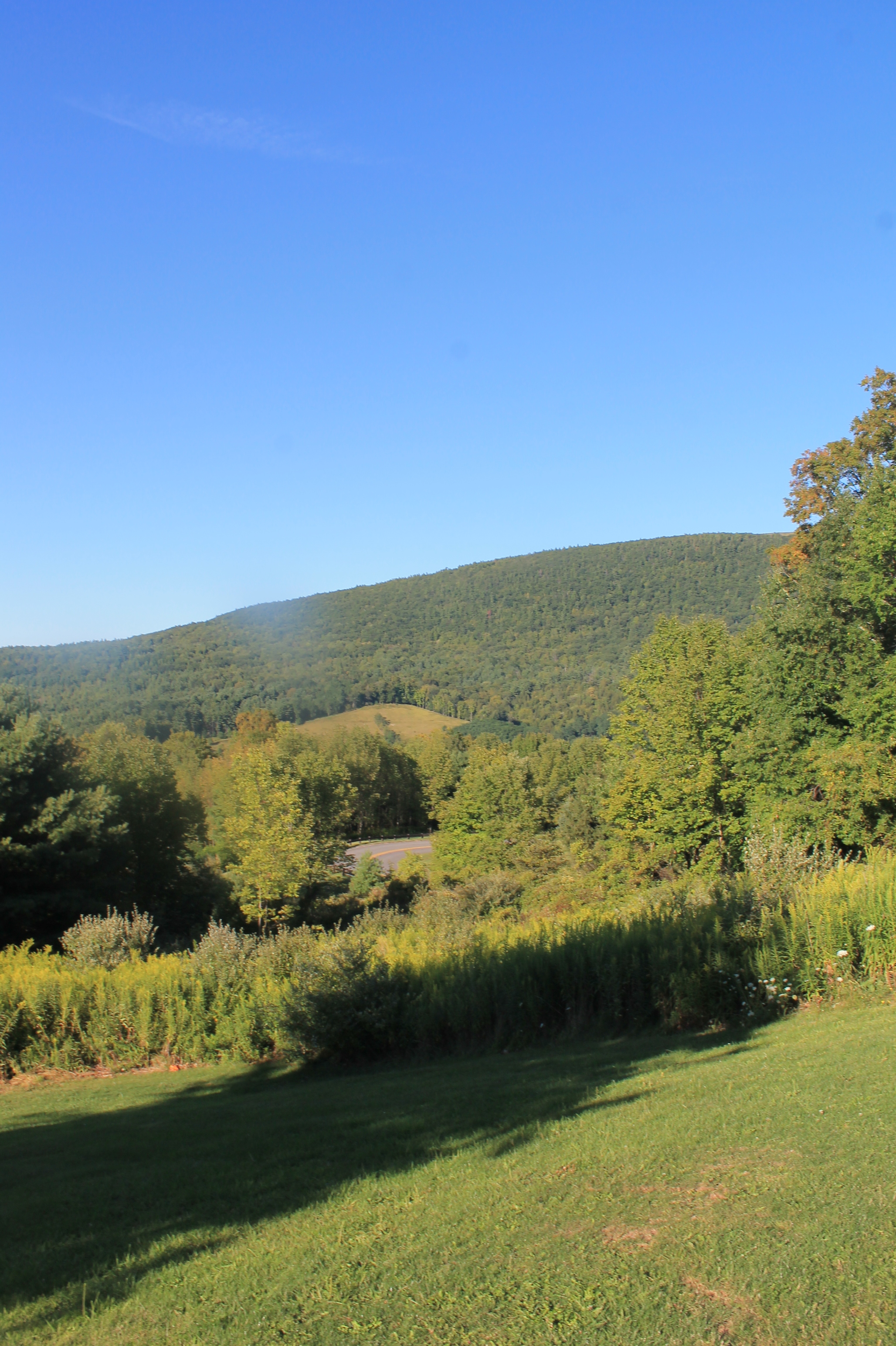
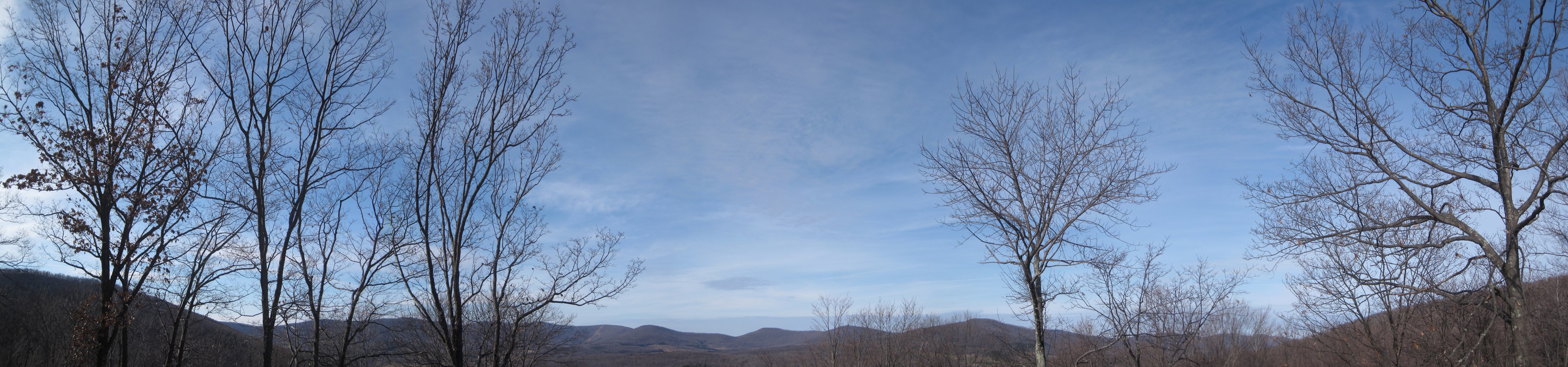
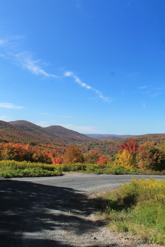
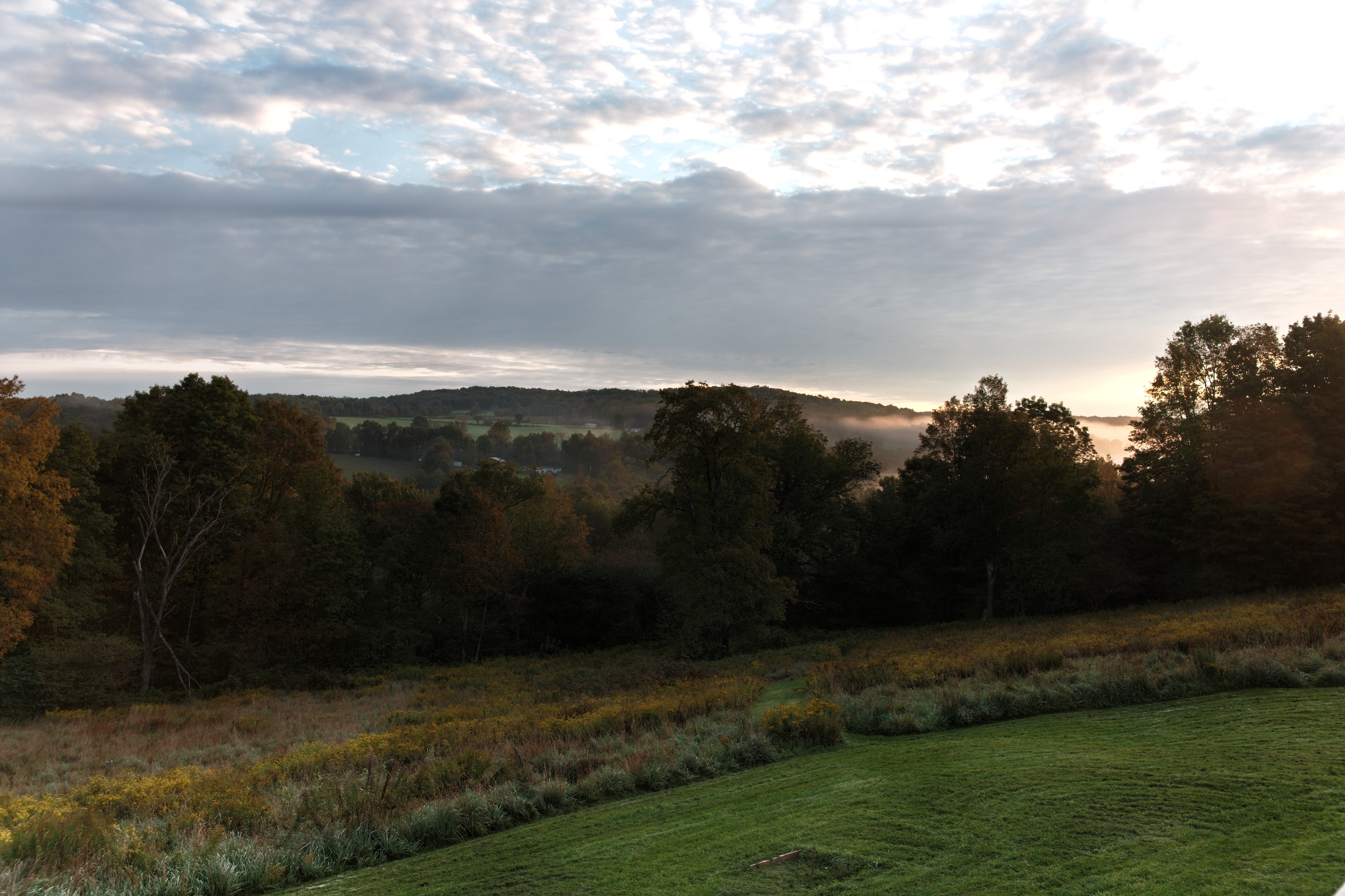
View Into Valley

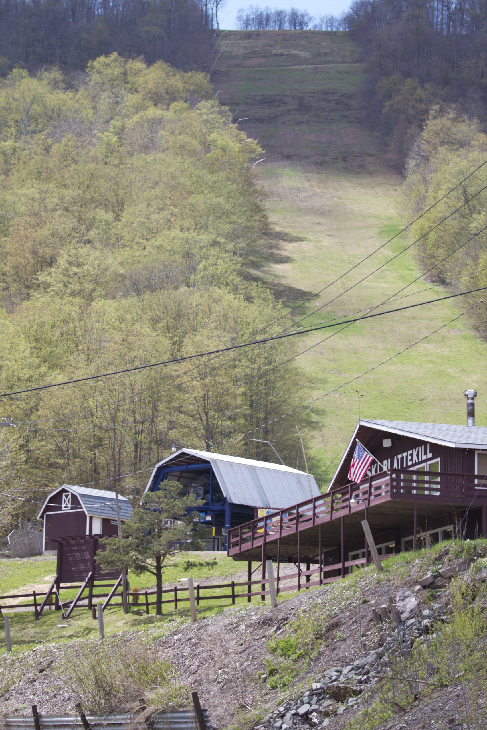
A view of the beautiful Catskills from the top of the Face at Ski Plattekill!!!

View from Middle Landing
April 10 (100/365)

View from Gravesite
It's up there...

Over Yonder
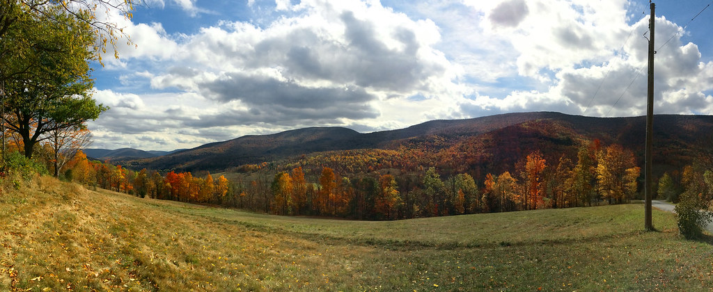
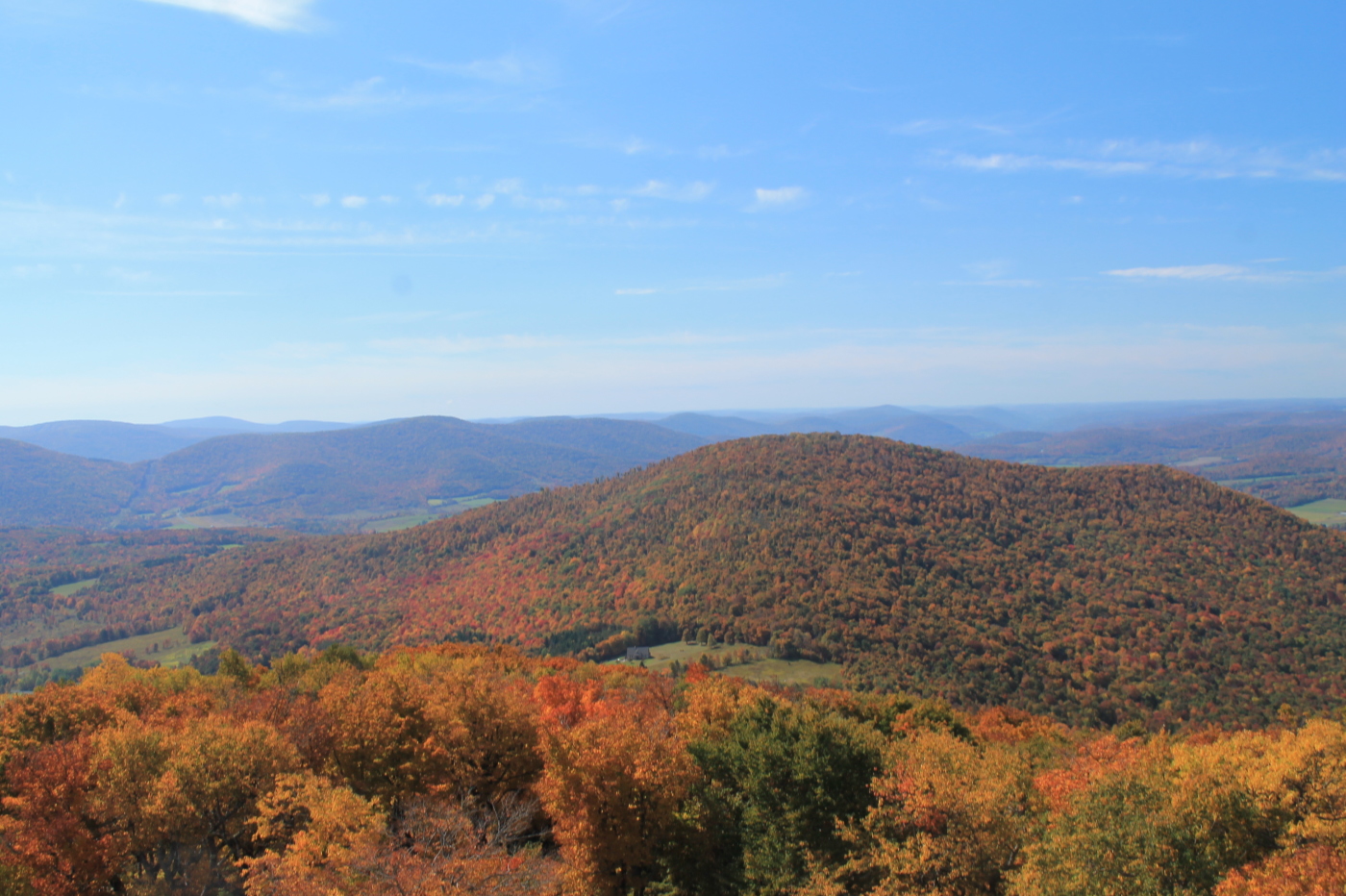
Catskills Panorama

IMAG0391.jpg

IMAG0390.jpg
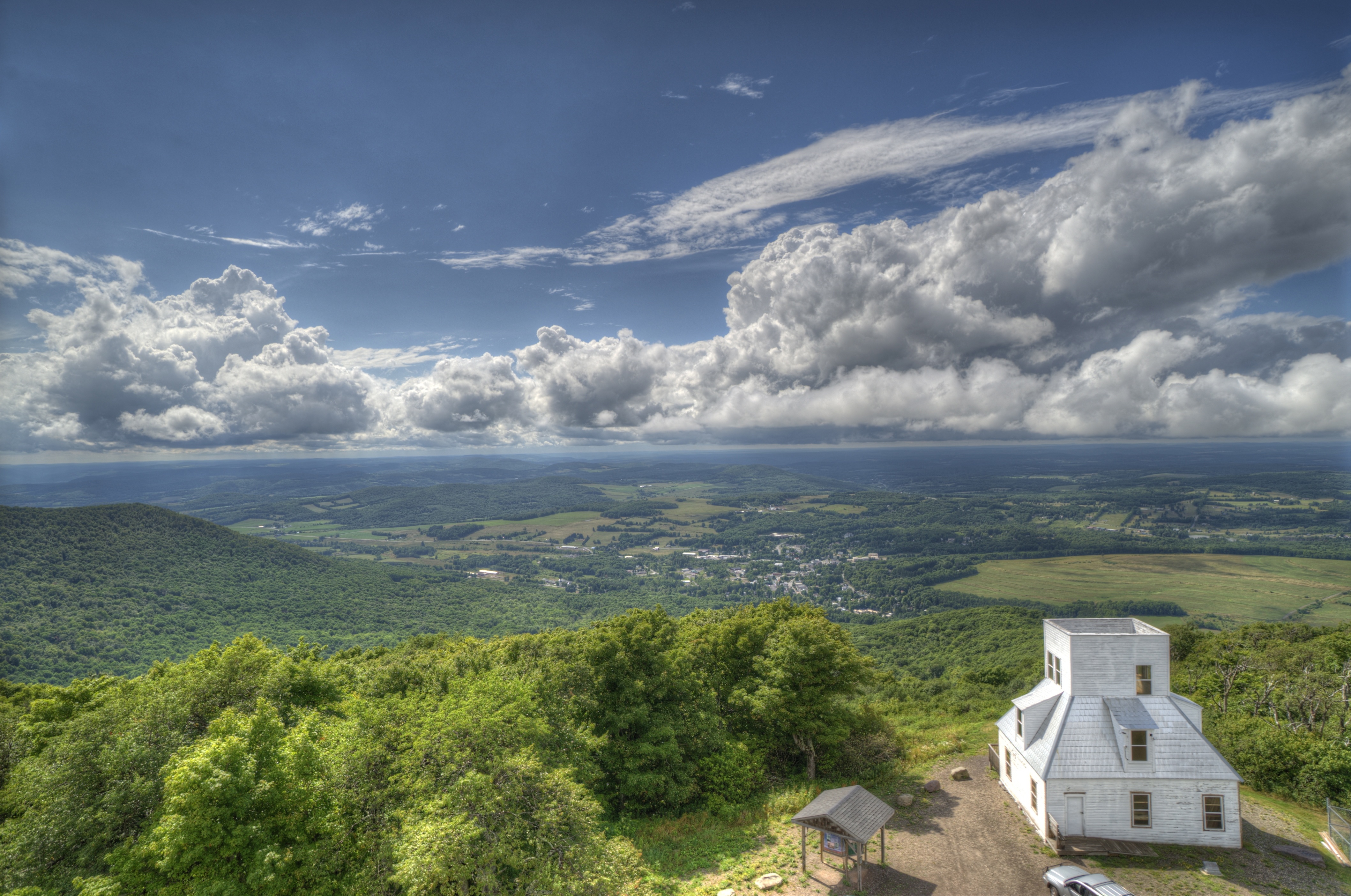
Mt Utsayantha
Bovina Mountains in the Distance
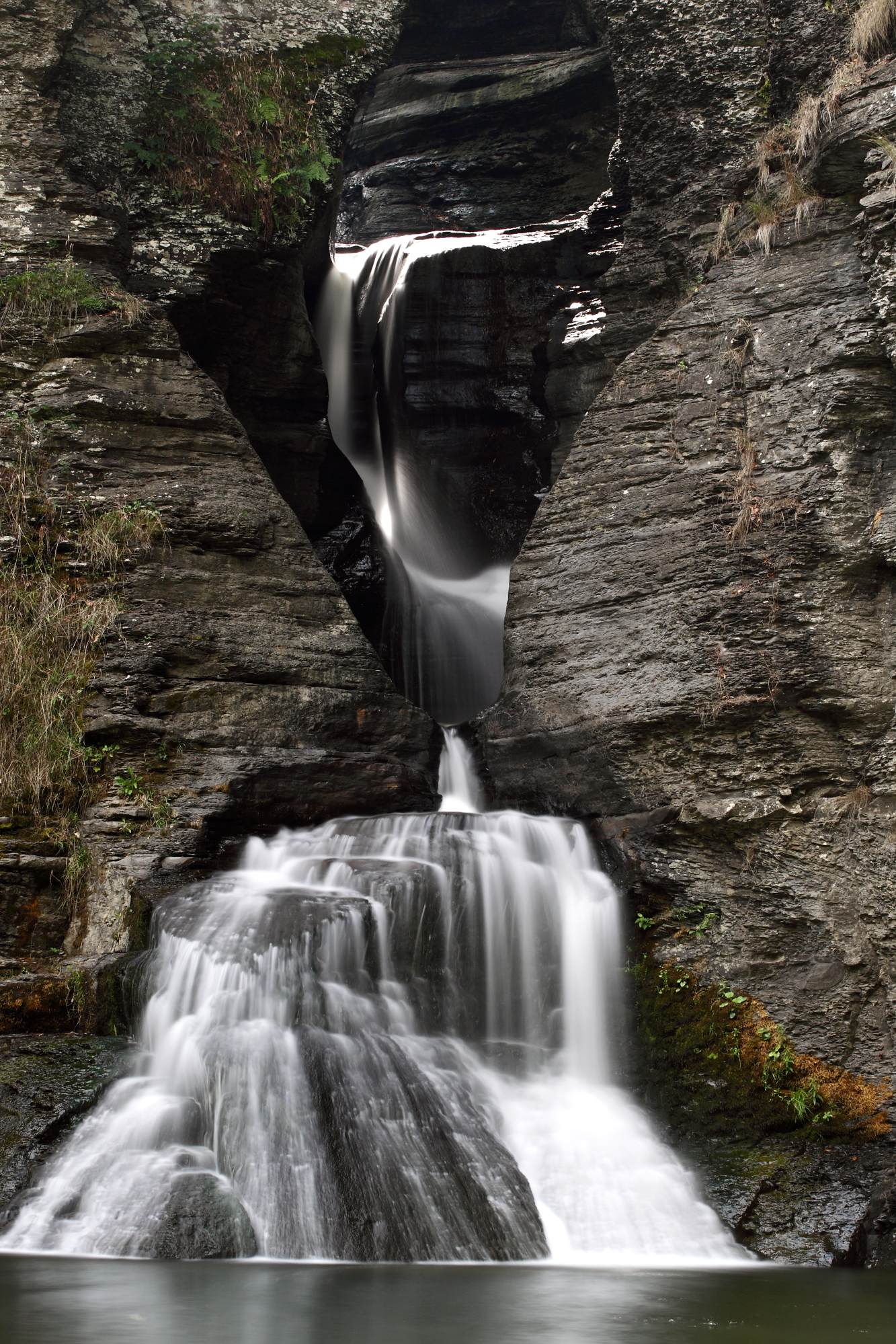
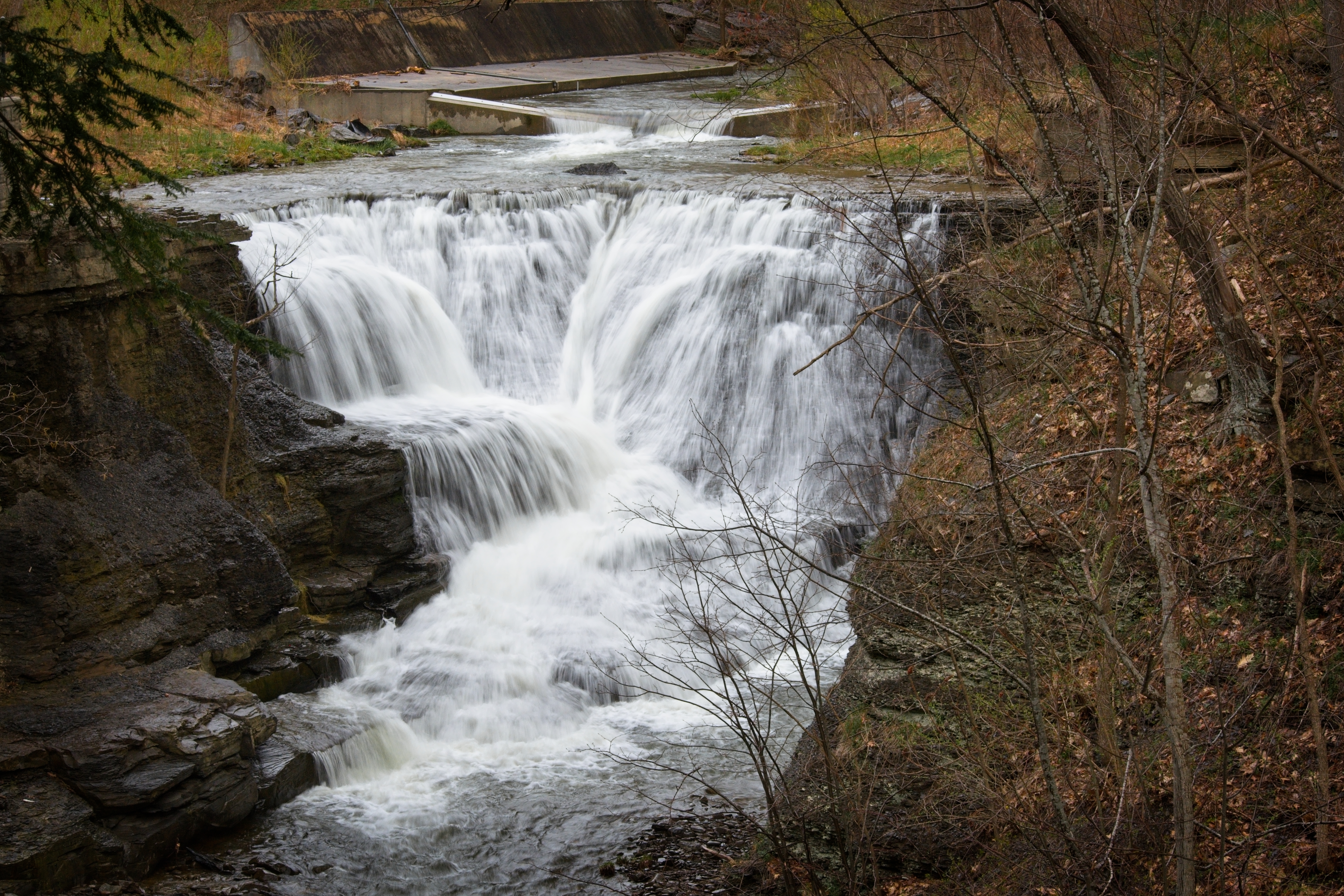
Mine Kill Falls

One of my older ones

DSC_0080.JPG
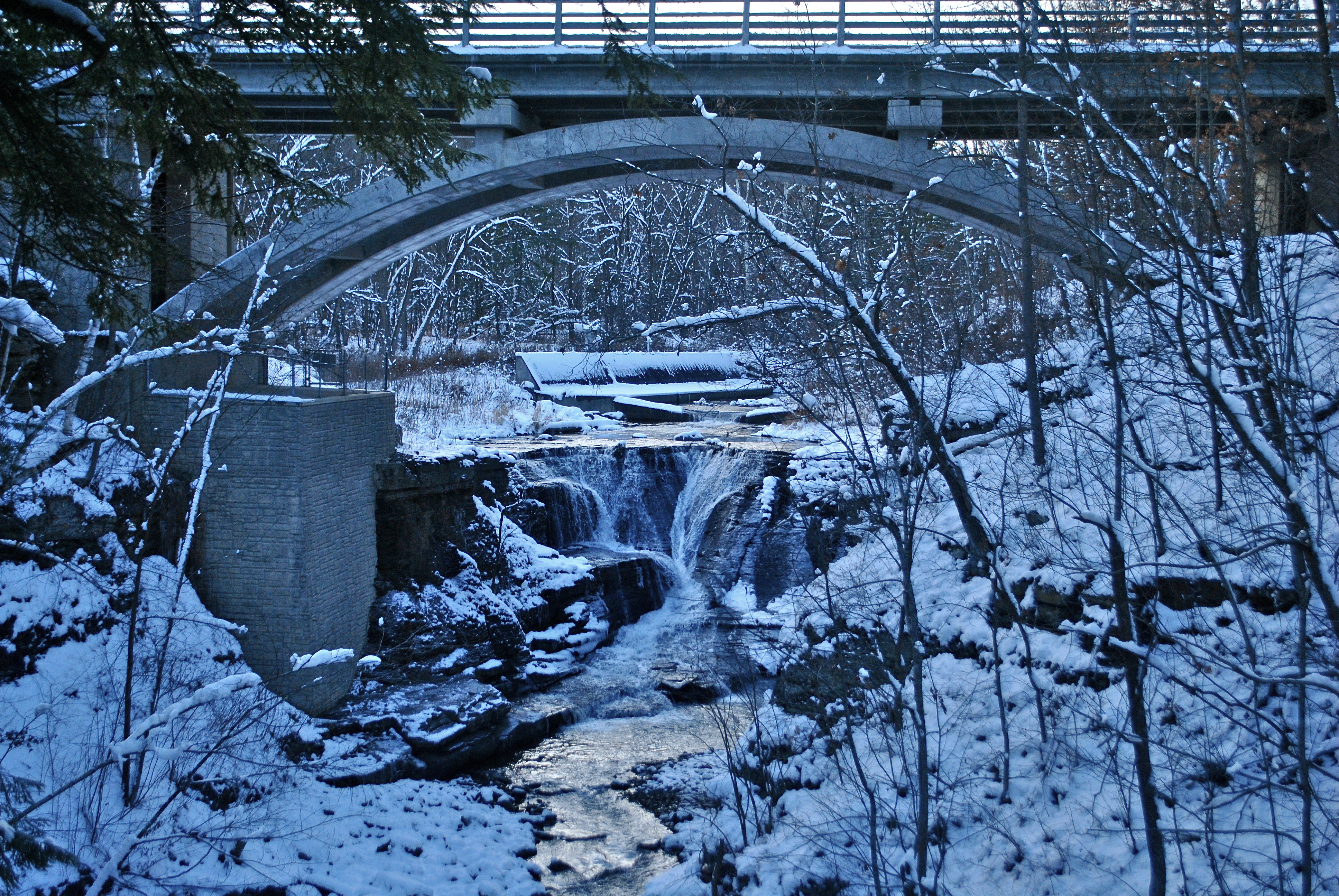
Minekill Bridge
Churchill Mountain and It's Col

Tower Mountain Road

DSC_0084.JPG

Plattekill Clove
DSC01865_DxO.jpg

Thanksgiving morning walk.
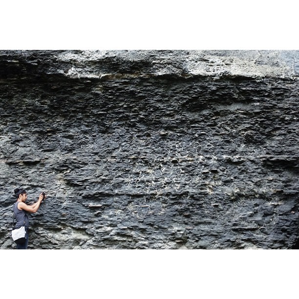
Darshin getting familiar with the earthen stratum

Gilboa Bales
Trees, Corn Field, Hay Field
97/366 - May 6, 2012
Topographic Map of Decker Rd, Hobart, NY, USA
Find elevation by address:

Places near Decker Rd, Hobart, NY, USA:
399 Decker Rd
399 Decker Rd
399 Decker Rd
Foote Hollow Road
90 Smith Hill Rd
16762 Co Rd 18
1563 Tower Mountain Rd
2420 Tower Mountain Rd
Stamford
7 Academy St
6 South St
11 Prospect St
3 Prospect
3 Hobart Rd
12 Roosevelt Ave
172 Railroad Ave
Main St, Hobart, NY, USA
Hobart
431 Main St
441 Main St
Recent Searches:
- Elevation of Corso Fratelli Cairoli, 35, Macerata MC, Italy
- Elevation of Tallevast Rd, Sarasota, FL, USA
- Elevation of 4th St E, Sonoma, CA, USA
- Elevation of Black Hollow Rd, Pennsdale, PA, USA
- Elevation of Oakland Ave, Williamsport, PA, USA
- Elevation of Pedrógão Grande, Portugal
- Elevation of Klee Dr, Martinsburg, WV, USA
- Elevation of Via Roma, Pieranica CR, Italy
- Elevation of Tavkvetili Mountain, Georgia
- Elevation of Hartfords Bluff Cir, Mt Pleasant, SC, USA